Difficulty: ModerateBelianske Tatras (Belianske Tatry)
Široké sedlo (Szeroka Przełęcz Bielska)
Start: Ždiar, Tatra · via Monkova dolina under limestone cliffs and Široké sedlo and Kopské sedlo
- 7:30 h
- Time
- 16 km
- Distance
- +950 m
- Ascent
1301 m a.s.l. · trail green / yellow / blue · start: Tatranská Kotlina, Čarda
Trail is located in the Slovak Tatras. Check TANAP rules and seasonal closures above mountain huts (Nov 1 – May 31).
Hikes in Slovakia require mountain rescue insurance (HZS). Check details on tanap.sk.
PolecanyKotlina – Plesnivec – Kotlina
Czas i dystans dla całej wycieczki, z powrotem do startu.
Tempo
3 h 26 minSzacunek od czasu z opisu, bez kolejek i postojów.
Polecany jest na tej stronie. Inny start ma osobną kartę — własny opis i mapę.
| Wariant | Start | Czas przejścia | Łańcuchy | Kolor szlaku |
|---|---|---|---|---|
Kotlina – Plesnivec – KotlinaPolecany Blue to Čierna voda, yellow to the hut, green down. No chains. The figures at the top of the page show this loop. | Tatranská Kotlina | 3 h 26 min | Nie |
|
Yellow there and back There and back on yellow. Steeper on the knees on the way down. Still no chains. | Tatranská Kotlina | 3 h 30 min | Nie |
|
On to Široké sedlo The hut is a stop. The ridge and one-way Monkova have their own page. You leave the car on the wrong side. Zobacz ten szlak → | Tatranská Kotlina | 7 h 30 min | Nie |
|
Polecany
Kotlina – Plesnivec – Kotlina
Blue to Čierna voda, yellow to the hut, green down. No chains. The figures at the top of the page show this loop.
Kotlina – Plesnivec – Kotlina
Dolina Siedmich prameňov leads from Tatranská Kotlina to the only hut in the Belianske Tatras — Plesnivec (1,301 m a.s.l.). Limestone instead of granite. Quiet instead of Palenica. Yellow is short and steep.
💡 In a nutshell – Plesnivec:
- For whom: Half a day, a child on foot, a first time in the Belianske.
- No chains. There is 669 m of ascent on a short distance.
- This page: The loop from Kotlina. Not Široké sedlo.
- Dog: Strictly banned (TANAP nature reserve regulations). HZS is billed.
From Čarda blue-green to a bubbling spring. Forest, calm, not yet the hut.
A turn onto yellow. Here it gets serious: 3 km and most of the climb. Limestone, roots, zigzags.
The only hut in the range. A view of Bujačí vrch and the Belianske cirques. Green descends more gently to Šumivý and Kotlina.
Not a pushchair. Not a “flat valley like Chochołowska” — yellow is steep. If you want the ridge and one-way Monkova, take Široké sedlo. If you want a larger lake on this side of the Tatras, take Zelené pleso.
Trailhead logistics – reach the start smoothly without parking hassle.
Tatranská Kotlina (Čarda / by the trail)
Parking fee: paid by the road, usually looser than Štrbské
Gateway to the Belianske Tatras (Seven Springs Valley, Plesnivec hut) and Belianska Cave. Quiet area without extreme crowds.
SAD buses from Poprad & Jurgów border
Route & bus stop: SAD bus stop Tatranská Kotlina, Čarda on road 537
Fare: ~1.50–2.00 EUR
Just 35 minutes by car from Zakopane via Jurgów border crossing.
Local buses and transit help bypass morning traffic and parking hassles.
Complete guide to Tatra car parks, buses, and TPN reservations.
Tool
Check off items as you pack, switch between summer/winter and clear the list before your next trip. Progress is saved automatically.
Newsletter
A few times a year: trail conditions, closures, the best time to go and new routes. No weekly spam.
Planning your next hike? From the same starting point and area, we recommend:
Dolina Małej Łąki from Gronik to Wielka Polana with a view of Giewont: 4.2 km, 1 h 47 min, easy and quieter than the other valleys near Zakopane.
Start: Ždiar, Tatra · via Monkova dolina under limestone cliffs and Široké sedlo and Kopské sedlo
Start: Biela voda (SAD bus stop) · via Chata pri Zelenom plese and Turquoise tarn under Lomnický
Start: Hrebienok (funicular from Starý Smokovec) · via Téryho chata and Zbojnícka chata
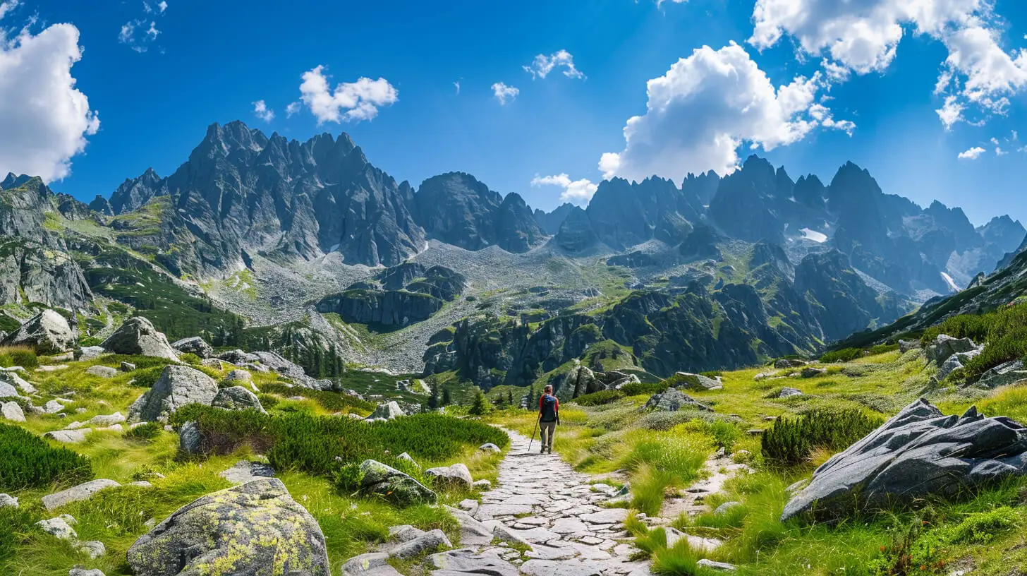
Do you dream of “real”, sharp, rocky mountains, but the thought of exposure and chains makes your legs shake? Here’s a list of summits you’ll reach like climbing stairs — without climbing gear.
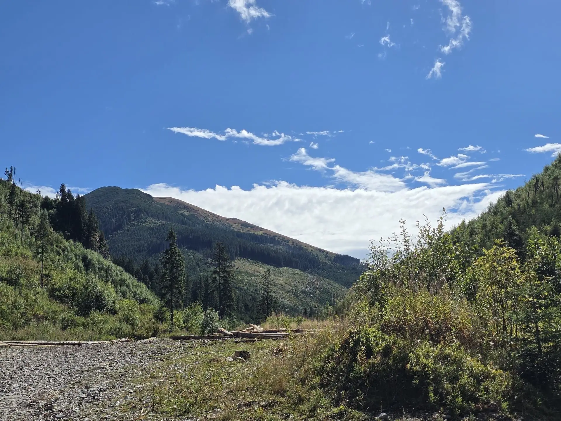
Tatras with a dog: in the Polish park only Droga pod Reglami and Chochołowska Valley. In Slovakia on a leash and only on designated routes. Fines and tips.
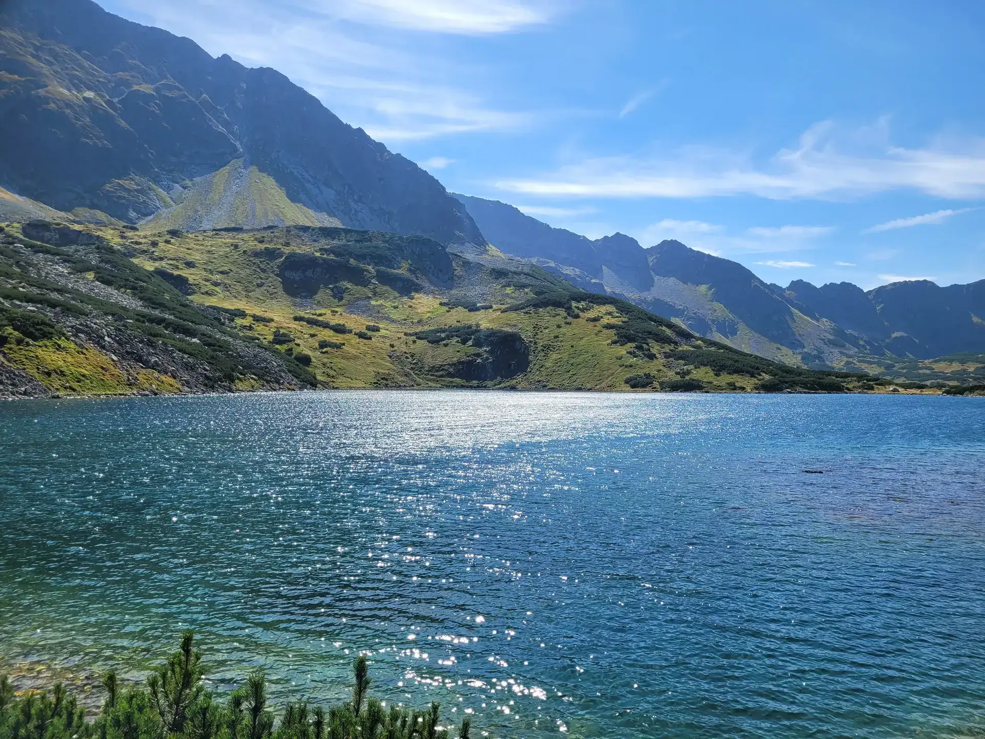
How to reach the hut in the Five Polish Ponds Valley from Palenica: about 3 h via Roztoka. The Siklawa route in summer, the winter detour and when to skip it.
These are affiliate links. If you book a stay or a ticket through them, we earn a small commission, for coffee :), at no extra cost to you.