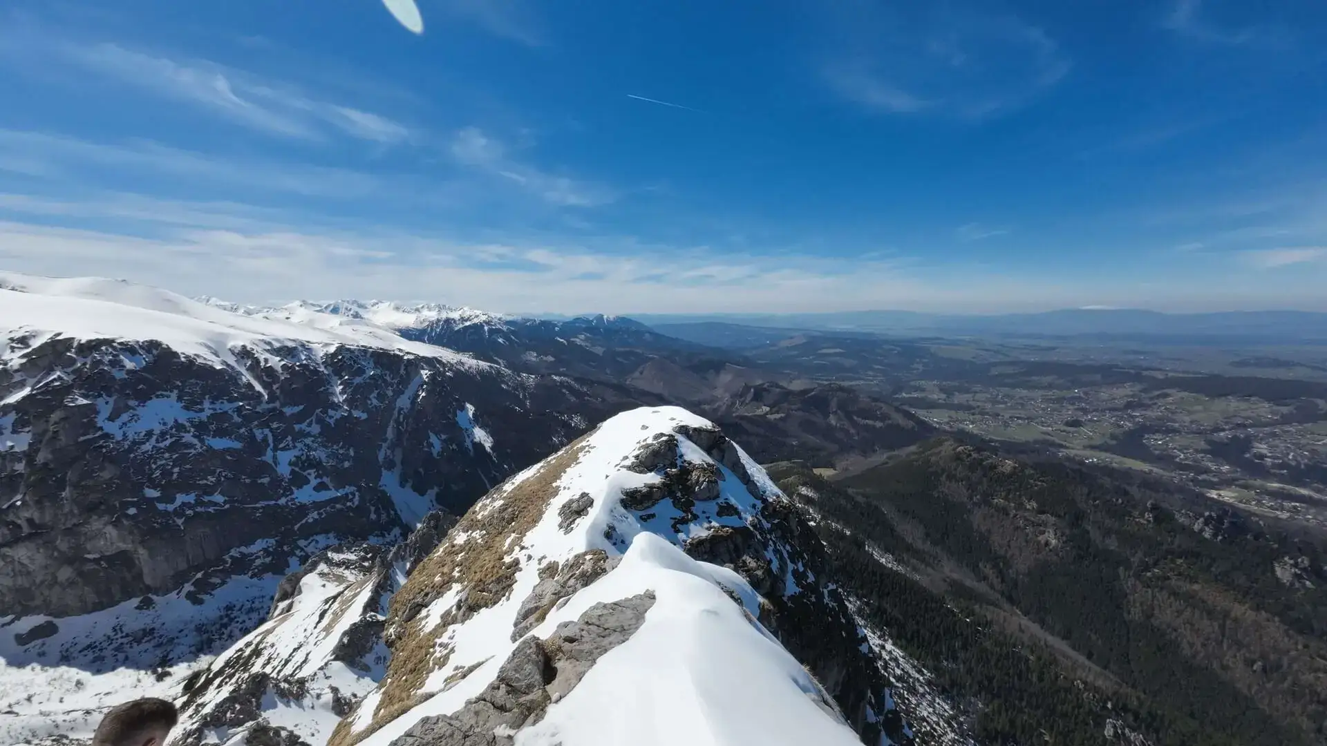
Difficulty: ModerateWestern Tatras
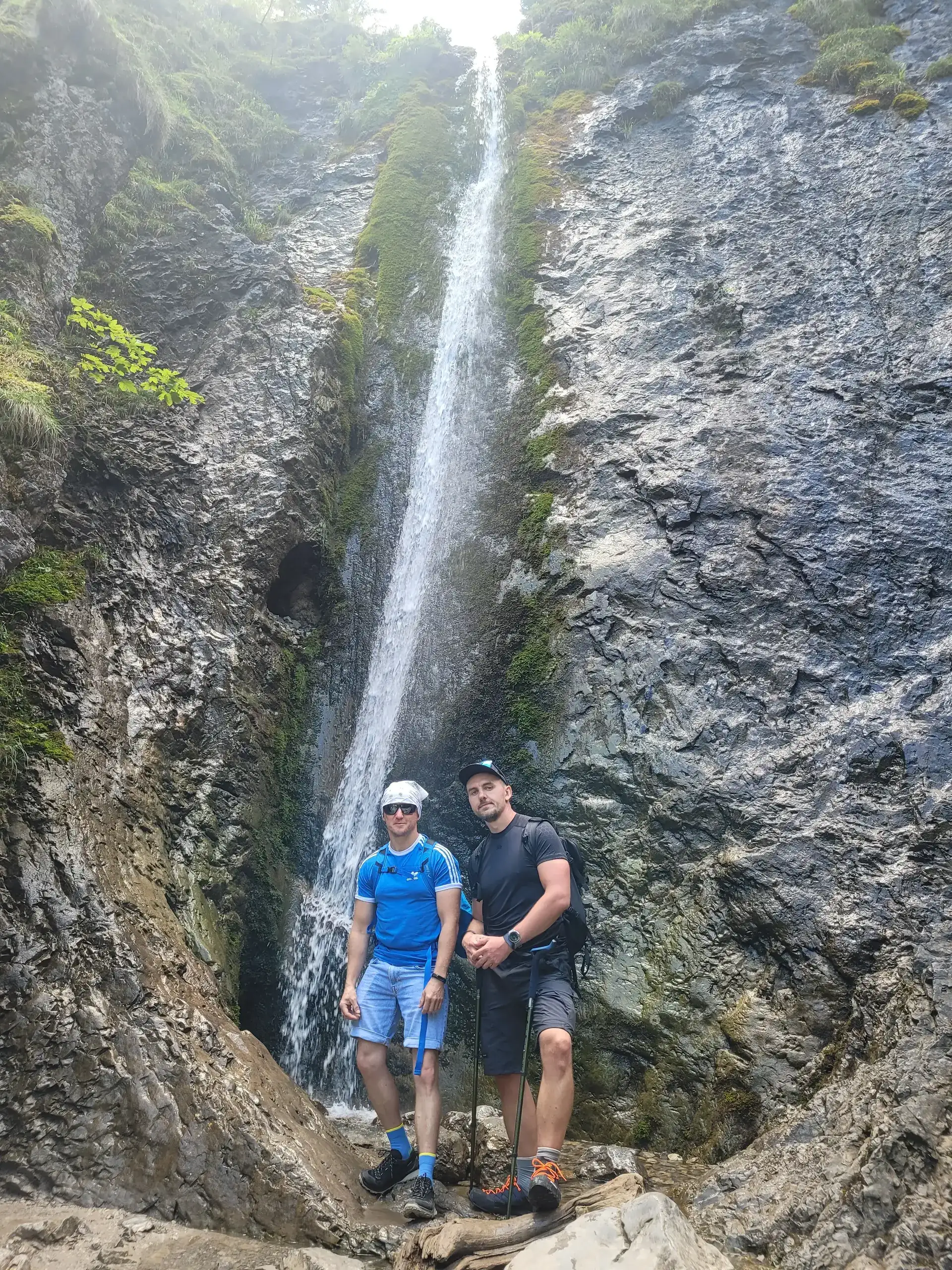
Giewont from Strążyska
Start: Dolina Strążyska · via Polana Strążyska and Przełęcz w Grzybowcu
- 3:15 h
- Time
- 6 km
- Distance
- +1014 m
- Ascent
A guide to the Tatras
78 trails with walking time, difficulty and elevation profile. Plus a packing checklist, trail comparison and TPN notices — all in one place, no account needed.
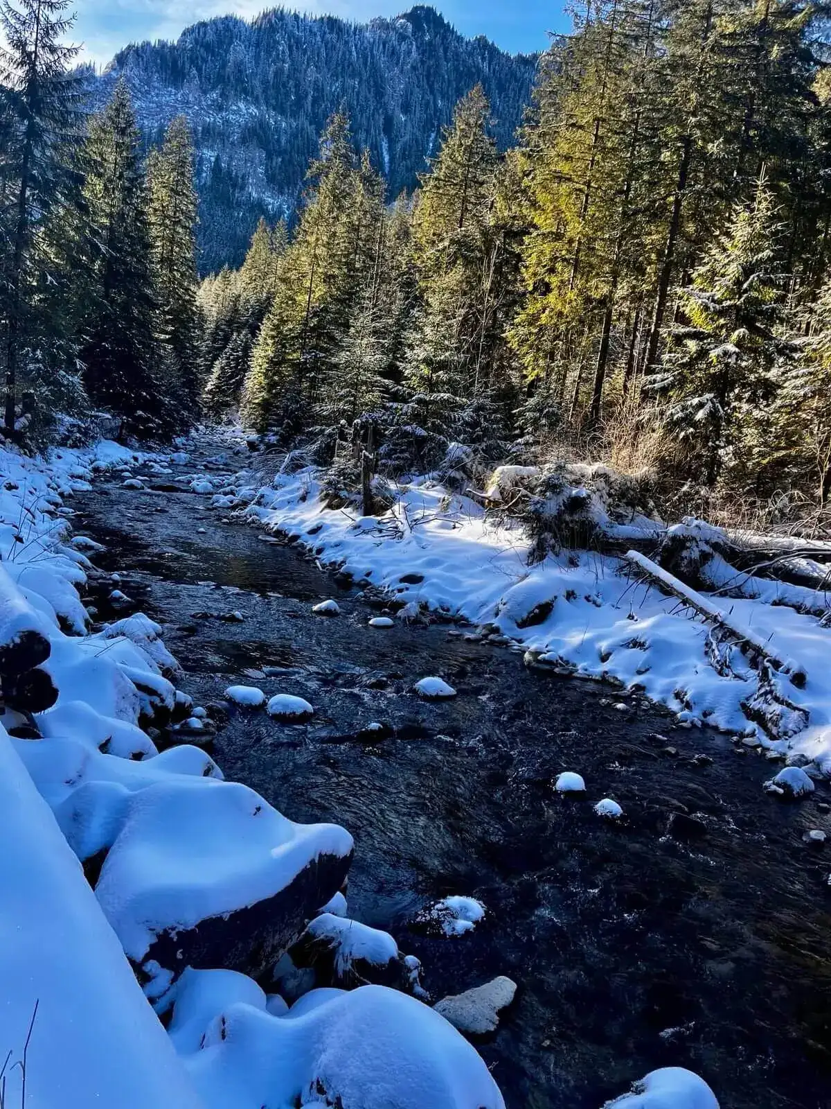
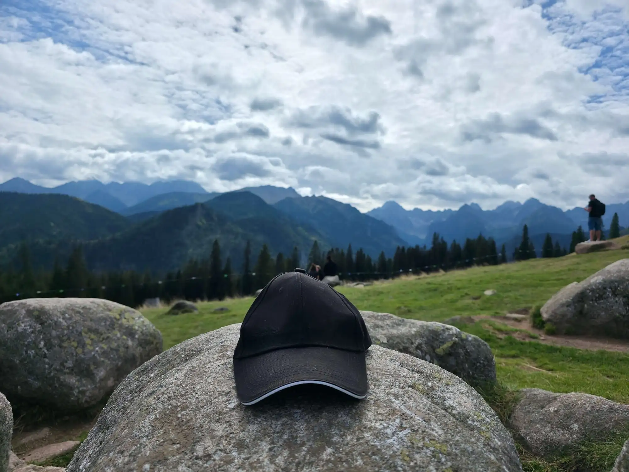
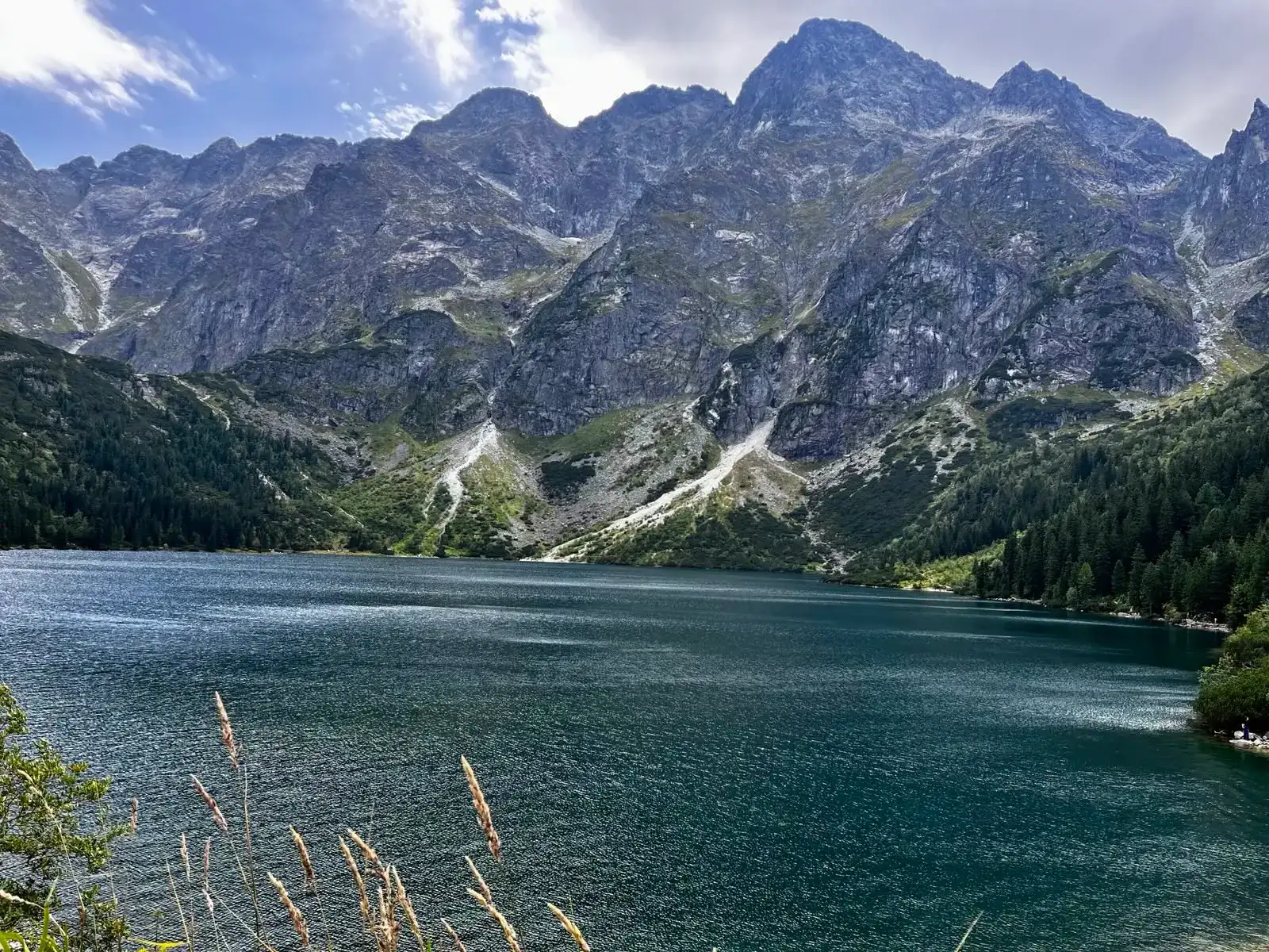
Today I recommend
Dolina Pięciu Stawów Polskich (The Valley of the Five Polish Lakes)
The routes you open most often before heading out.
Start: Dolina Strążyska · via Polana Strążyska and Przełęcz w Grzybowcu
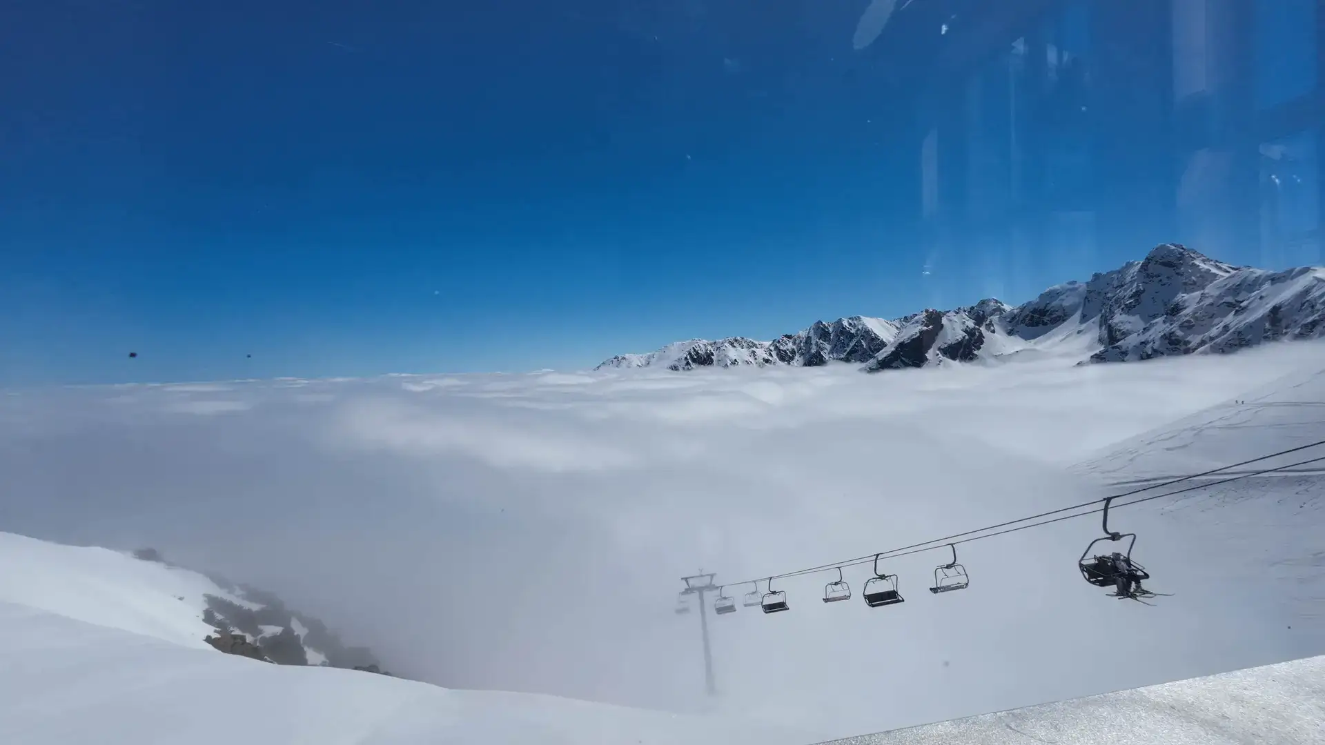
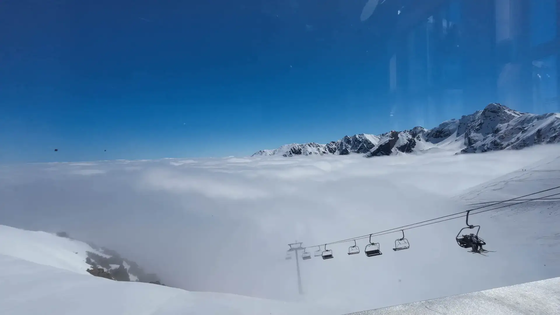
Start: Kuźnice · via High-mountain observatory (IMGW) and The highest restaurant
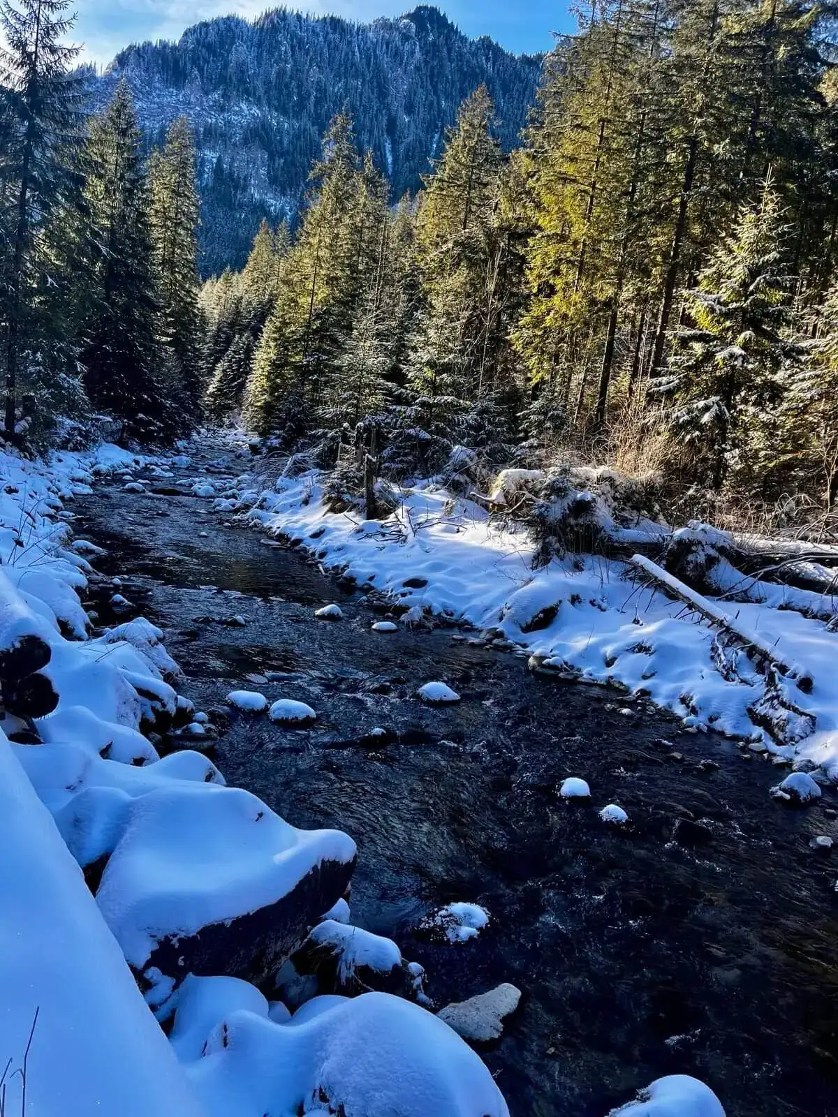
Start: Kiry · via Mroźna and Mylna Caves and Kraków Gorge
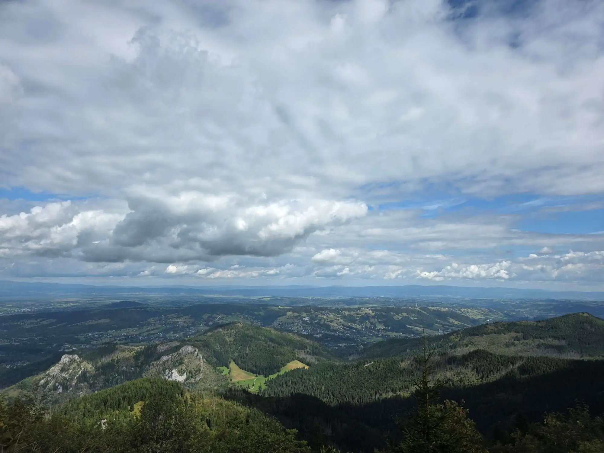
Start: Kiry · via The four 2,000-metre peaks and Ciemniak and Krzesanica
Start: Siwa Polana · via Chochołowska Glade and The mountain hut at Chochołowska Glade
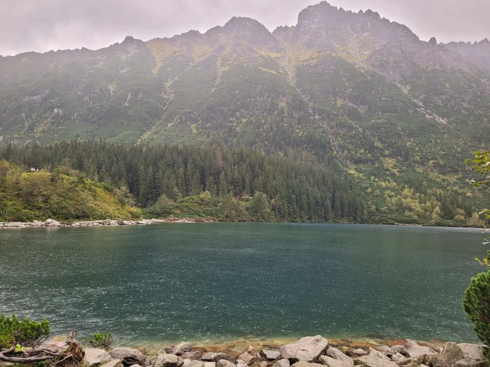
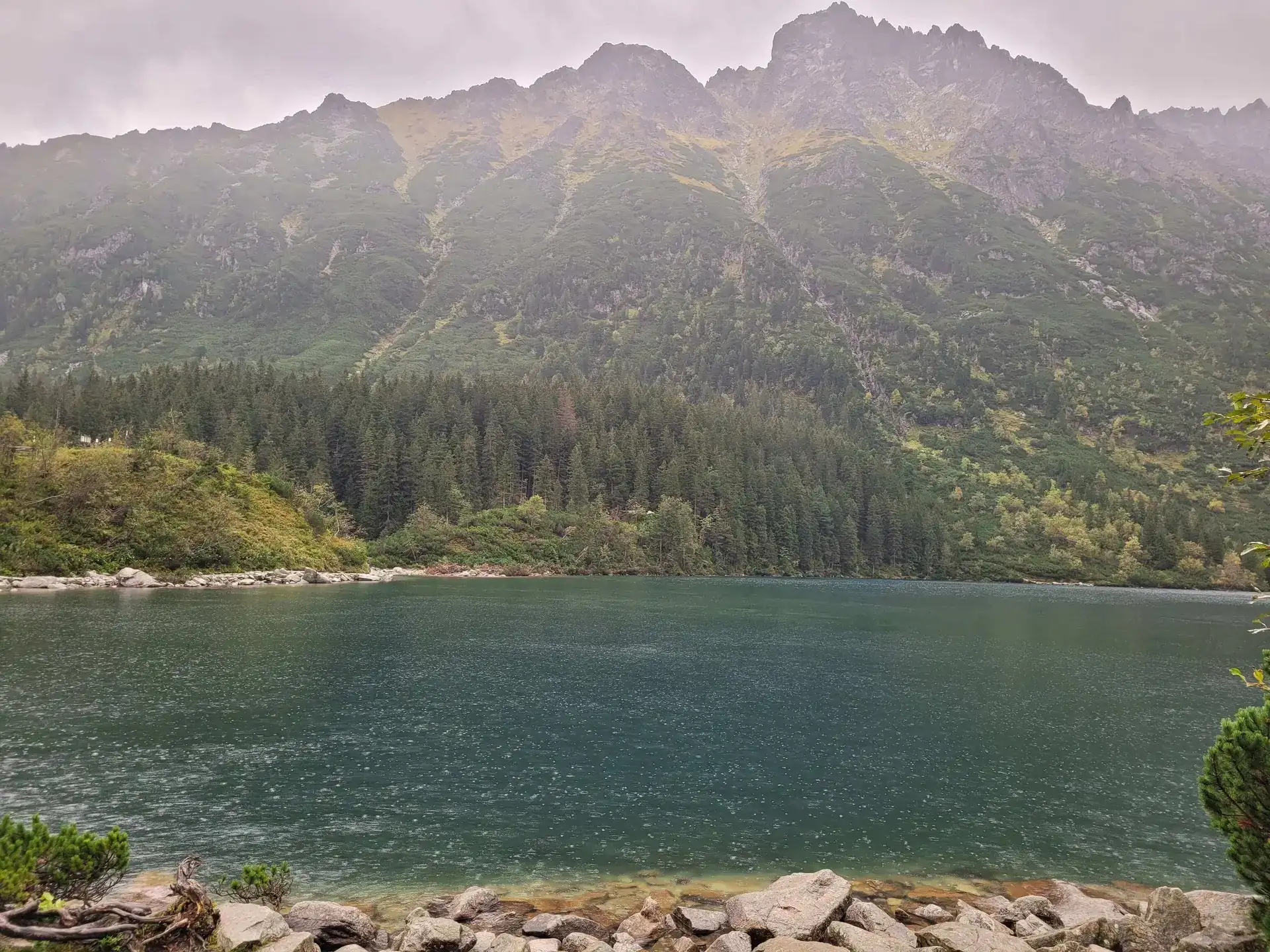
Start: Palenica Białczańska · via Morskie Oko lake and Wodogrzmoty Mickiewicza
Draw a trail from 78 routes. Not quite right? Draw again until you find the one for today.
Four tools that will save you stress on the trail.
Elevation profiles
See where the trail gets steep and download the GPX track to your phone.
See trails →Packing generator
Gear lists for summer, winter, chains and hiking with kids — tick off and print.
Pack your bag →Pace and TPN status
Recalculate time for kids, a fast pace or winter. Check alerts and closures.
Browse trails →Your profile
Save favourite trails and conquered peaks. Everything stays in your browser.
Open profile →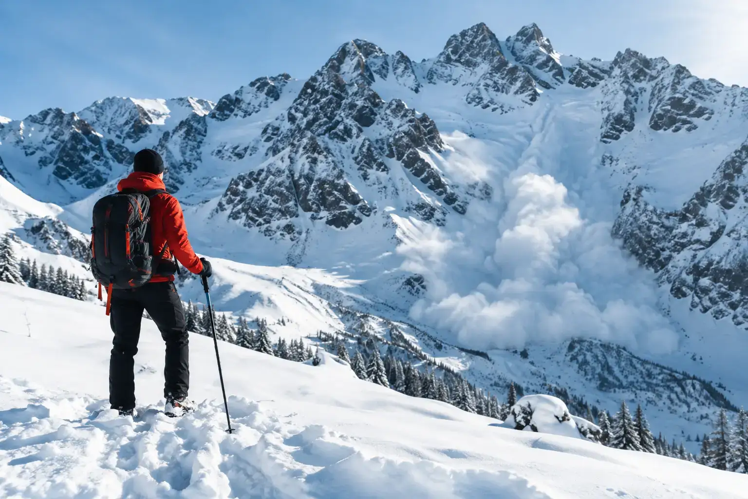
Avalanches in the Tatras do not forgive a rush. Check the bulletin, the weather, the ground and the decisions that help you get back safely from a ski tour or a hike.

See where to go in the Tatras in winter with children, safely: valleys, meadows and places in Slovakia, plus how to pick a route for a family day in good conditions.

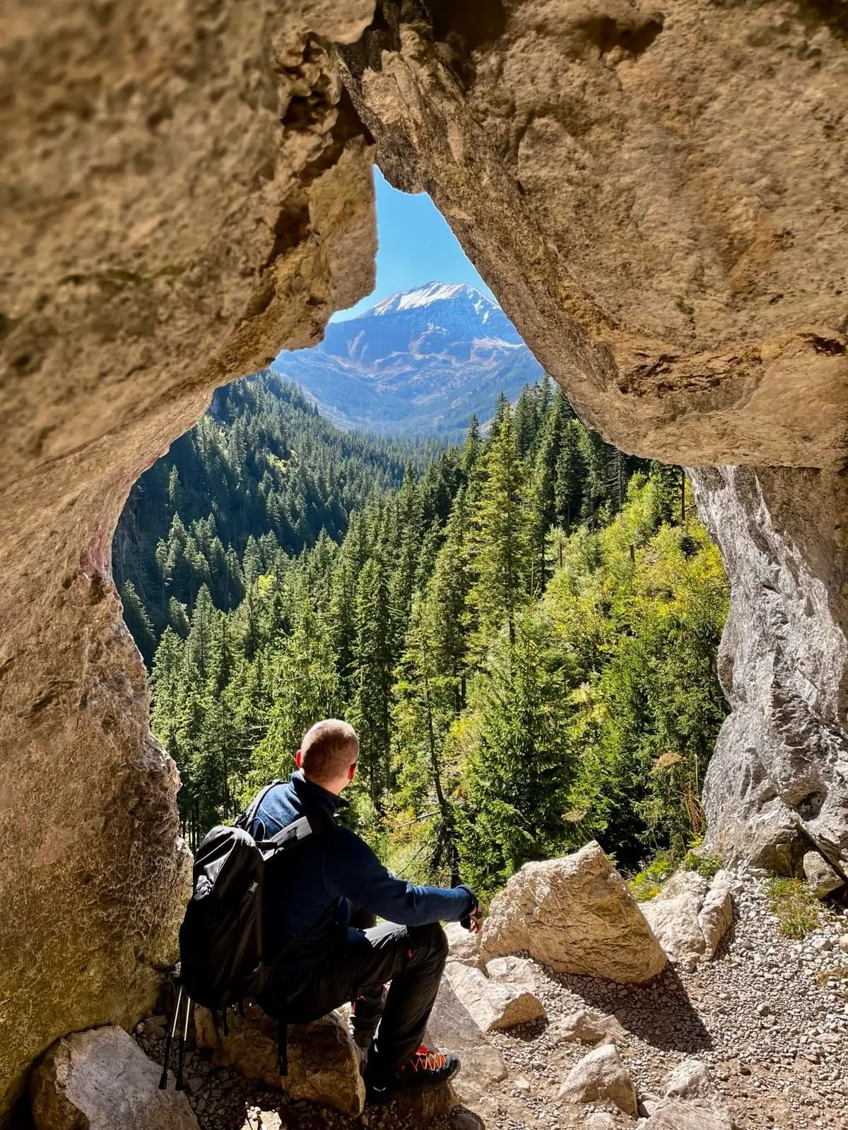
Tatra sights with little effort: reliable places, cable cars and short walks when you want to see the mountains without a long hike or extra risk.

September 2026
September 2026

September 2026