Difficulty: HardHigh Tatras (Vysoké Tatry)
Mała Wysoka (Východná Vysoká)
Start: Sliezsky dom · via Polski Grzebień and Večný dážď
- 4:45 h
- Time
- 7.4 km
- Distance
- +803 m
- Ascent
2300 m a.s.l. · trail yellow / red / blue · start: Štrbské Pleso
Trail is located in the Slovak Tatras. Check TANAP rules and seasonal closures above mountain huts (Nov 1 – May 31).
Hikes in Slovakia require mountain rescue insurance (HZS). Check details on tanap.sk.
PolecanyMlynická – Bystrá lávka – Furkotská
Czas i dystans dla całej wycieczki, z powrotem do startu.
Tempo
7 h 51 minSzacunek od czasu z opisu, bez kolejek i postojów.
Polecany jest na tej stronie. Inny start ma osobną kartę — własny opis i mapę.
| Wariant | Start | Czas przejścia | Łańcuchy | Kolor szlaku |
|---|---|---|---|---|
Mlynická – Bystrá lávka – FurkotskáPolecany Yellow to Skok and the saddle, down Furkotská, red and blue back to the lake. The figures at the top of the page show this loop. | Štrbské Pleso | 7 h 51 min | TakSkok and both sides of the saddle. The shelf is narrow. |
|
Skok waterfall only There and back to the waterfall. No saddle, no 1 Nov–31 May closure on the upper trail. Still not a pushchair route. | Štrbské Pleso | 3 h 30 min | TakA short chain at the waterfall step. Wet slabs. |
|
With Predné Solisko added The same loop plus red to the Solisko dome. Separate page: Skrajne Solisko. Zobacz ten szlak → | Štrbské Pleso | 9 h 17 min | TakChains stay on the lávka. Solisko has none. |
|
Polecany
Mlynická – Bystrá lávka – Furkotská
Yellow to Skok and the saddle, down Furkotská, red and blue back to the lake. The figures at the top of the page show this loop.
Mlynická – Bystrá lávka – Furkotská
Bystrá lávka (2,300 m a.s.l.) is the shortest full high-mountain loop from Štrbské Pleso. The yellow trail goes up Mlynická dolina past Skok waterfall, crosses a rock shelf with chains, and drops into Furkotská dolina. Slovaks call it “the Tatras in miniature”: tarn, waterfall, dwarf pine, ridge.
💡 In a nutshell – Bystrá lávka:
- For whom: People who have already held a chain on Giewont and do not mind a narrow shelf. Fitness for a full day.
- Difficulties: Chains at Skok and on the saddle. The lávka is a shelf, not a meadow. Jams when someone stands with a phone.
- Golden rule: The trail above the waterfall is closed from 1 November to 31 May.
- Logistics: Start and finish at the lake. HZS insurance is mandatory. Dogs are banned by TANAP. Mlynická up, Furkotská down is less stressful on the descent.
The figures at the top of the page count the walking loop from Štrbské Pleso, not the shortcut to the waterfall.
From the lake we take the yellow trail. Forest, then dwarf pine, after about 2 h 25 min the step of Skok waterfall (about 25 m). A chain, wet slabs. If it is raining — you turn around here, not on the saddle.
Above Skok, the Mlynická lakes. The path turns sharply left and climbs to the saddle. From below you see Capie and Okrúhle pleso; ice on the tarns can last into July.
There is little room at the top. Chains on both sides. The view opens to Kriváň and Furkotská. Do not sit in the middle of the shelf while someone behind you hangs on a chain.
Yellow drops to the junction Pod Furkotskou doliou. Red and blue take you back to Štrbské Pleso. If the legs are left, you can detour to Chata pod Soliskom — the dome has its own page.
Do not take your first chain here. Do not go after rain — the slabs at Skok are soap. Do not plan this with a pushchair, and do not treat a “short loop” as a promenade: 1,048 m of ascent stays. If you want a lake without chains, take Popradské pleso.
Trailhead logistics – reach the start smoothly without parking hassle.
Štrbské Pleso (by the tram / lake)
Parking fee: paid (seasonal; TANAP ticket separate)
Large tiered central car park at the TEŽ railway terminal. Remember: mountain rescue (HZS) in Slovakia is chargeable – always purchase mountain travel insurance!
Access by car or Tatra electric train (TEŽ)
Route & bus stop: From Zakopane by car via Łysa Polana or Jurgów (~1h 15m). On site, TEŽ electric trains connect to Poprad and Smokovec.
Fare: TEŽ electric train: ~2–3 EUR per ticket
TEŽ train tickets must be purchased before boarding at station booths or via the ZSSK app.
Local buses and transit help bypass morning traffic and parking hassles.
Complete guide to Tatra car parks, buses, and TPN reservations.
Tool
Check off items as you pack, switch between summer/winter and clear the list before your next trip. Progress is saved automatically.
Newsletter
A few times a year: trail conditions, closures, the best time to go and new routes. No weekly spam.
Planning your next hike? From the same starting point and area, we recommend:
Kôprovský štít (Koprowy Wierch, 2363 m) from Štrbské Pleso via Popradské pleso: 20.9 km, 8 h 37 min, no chains, hands on the ridge. Closed 1 Nov – 31 May.
Start: Sliezsky dom · via Polski Grzebień and Večný dážď
Start: Biela Voda · via Zelené pleso and Skalnaté pleso
Start: Hrebienok (funicular from Starý Smokovec) · via Téryho chata and Zbojnícka chata
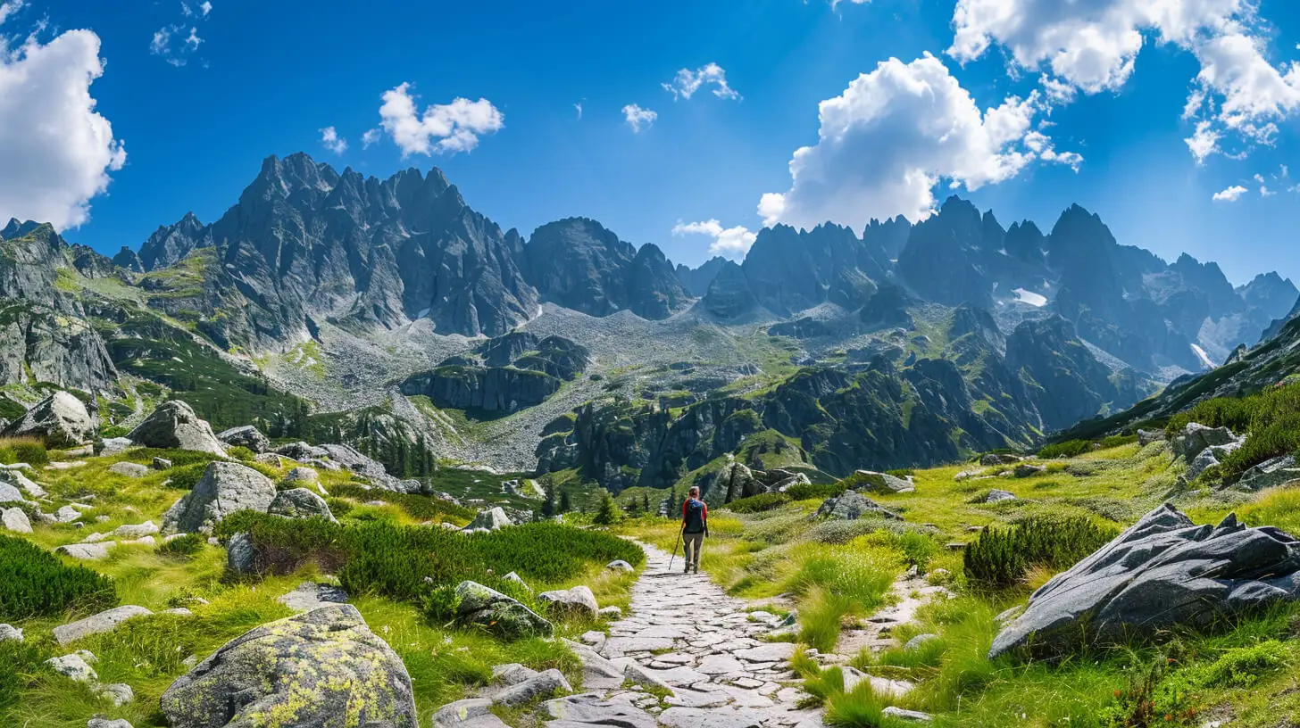
Do you dream of “real”, sharp, rocky mountains, but the thought of exposure and chains makes your legs shake? Here’s a list of summits you’ll reach like climbing stairs — without climbing gear.
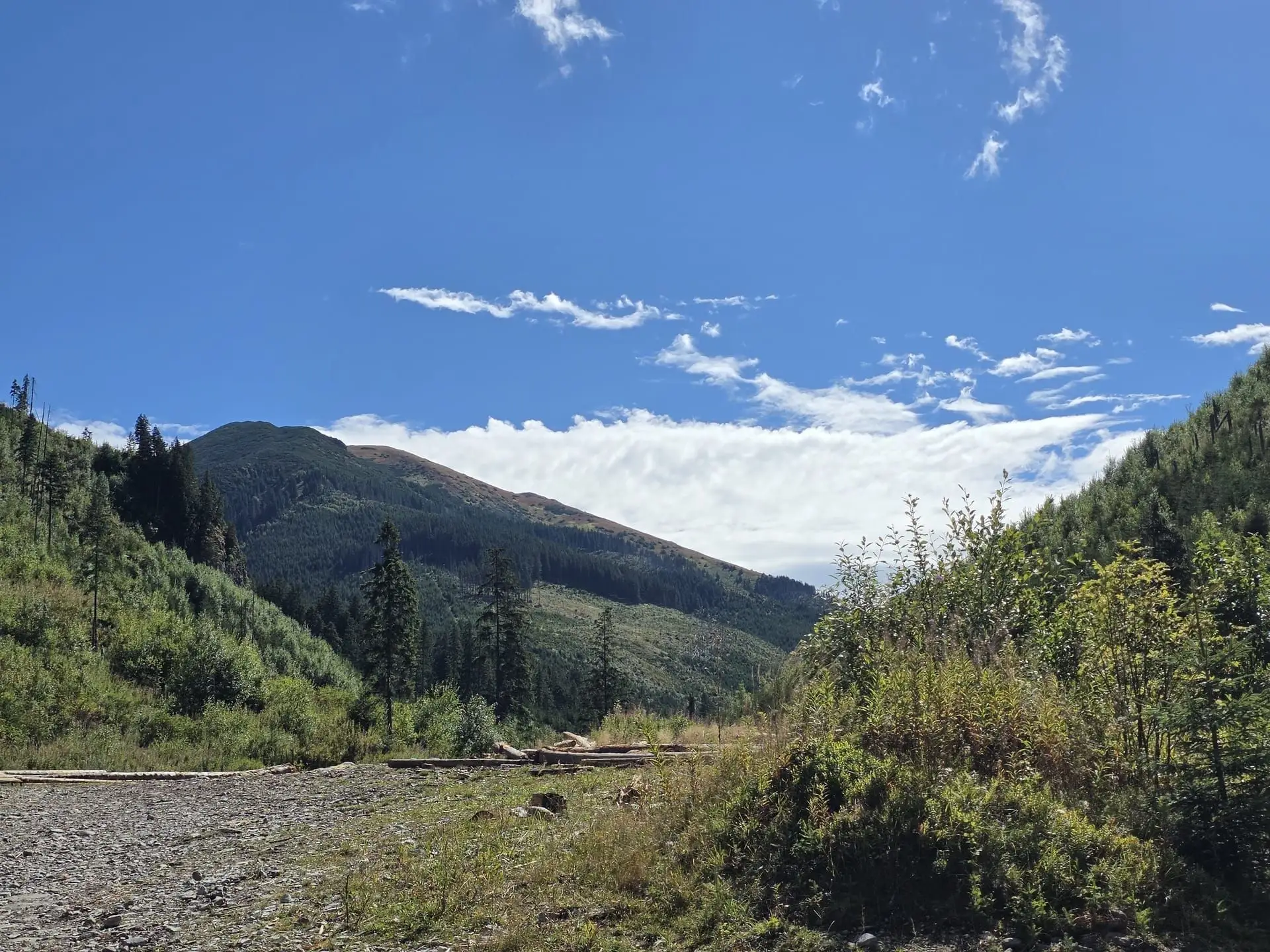
Tatras with a dog: in the Polish park only Droga pod Reglami and Chochołowska Valley. In Slovakia on a leash and only on designated routes. Fines and tips.
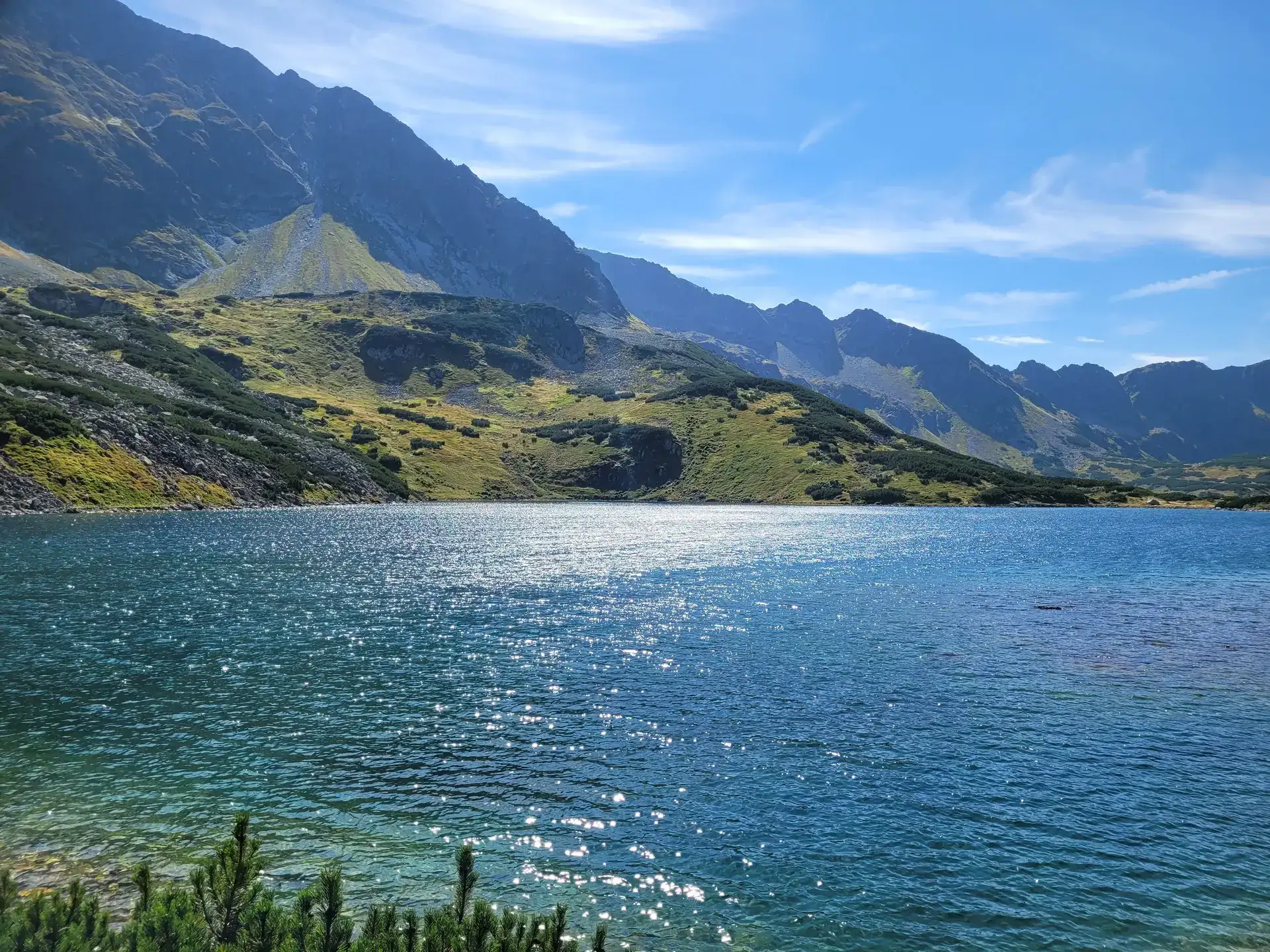
How to reach the hut in the Five Polish Ponds Valley from Palenica: about 3 h via Roztoka. The Siklawa route in summer, the winter detour and when to skip it.
These are affiliate links. If you book a stay or a ticket through them, we earn a small commission, for coffee :), at no extra cost to you.