Mountain huts — Tatra trails and posts
Found 11 results for mountain huts
Trails (8)
No photo Distance: 17.9 kmDuration: 8 h 11 minPriečne sedlo (Czerwona Ławka)
Priečne sedlo (2352 m) from Hrebienok via Téryho chata to Zbojnícka chata: 17.9 km, 8 h 11 min, chains, rungs and exposure. Closed 1 Nov – 31 May.
Difficulty: very difficult (chains, exposure)
#slovakia#high tatras#chains+2View trail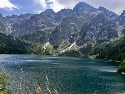 Distance: 16.5 kmDuration: 5 h 45 min
Dolina Pięciu Stawów Polskich (The Valley of the Five Polish Lakes)
Dolina Pięciu Stawów (Five Polish Lakes Valley) from Palenica via Wielka Siklawa, Poland's highest waterfall: 16.5 km, 5 h 45 min, no chains. Parking, ways back.
Difficulty: average
#high tatras#lake#waterfall+2View trailNo photo Distance: 10.1 kmDuration: 3 h 26 minDolina Siedmich prameňov (Chata Plesnivec)
Dolina Siedmiu Źródeł from Tatranská Kotlina to Chata Plesnivec, the only hut in the Belianske Tatras: 10.1 km, 3 h 26 min, short and steep, no chains.
Difficulty: moderate (short, steep)
#slovakia#valley#mountain huts+2View trailNo photo Distance: 12.6 kmDuration: 5 h 13 minHala Gąsienicowa and Czarny Staw Gąsienicowy
Hala Gąsienicowa and Czarny Staw Gąsienicowy from Kuźnice in Zakopane: 12.6 km, 5 h 13 min, no chains. Murowaniec hut and views of Kościelec and Orla Perć.
Difficulty: medium
#high tatras#mountain huts#classic+2View trail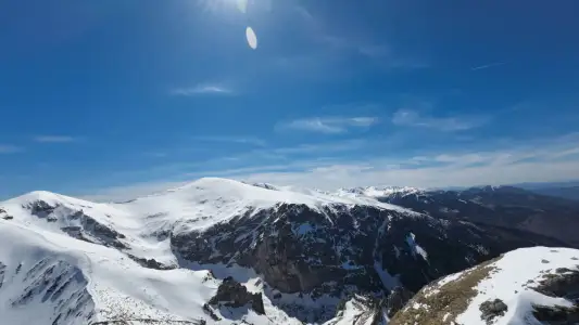 Distance: 7.2 kmDuration: 3 h 20 min
Kalatówki and Hala Kondratowa
Kalatówki and Hala Kondratowa from Kuźnice: an easy walk to the Kondratowa hut, 7.2 km, 3 h 20 min, +327 m. A good first day in the Tatras.
Difficulty: easy
#western tatras#easy routes#for family+1View trailNo photo Distance: 21.9 kmDuration: 9 h 12 minRysy (from the Slovak side)
Rysy (2503 m) from the Slovak side via Popradské pleso and Chata pod Rysmi: 21.9 km, 9 h 12 min. Easier than from Poland, chains below the summit.
Difficulty: difficult (fitness-wise)
#slovakia#high tatras#highest peak+2View trailNo photo Distance: 10 kmDuration: 4 h 27 minSkrajne Solisko (Predné Solisko)
Predné Solisko (2117 m) on foot from Štrbské Pleso: 10 km, 4 h 27 min, +855 m, no chains. The chairlift option is in the table. Closed 1 Nov – 31 May.
Difficulty: moderate (steep red)
#slovakia#high tatras#mountain huts+2View trailNo photo Distance: 15.4 kmDuration: 6 h 14 minZelené pleso (Chata pri Zelenom plese)
Zelené pleso (Zielony Staw Kieżmarski) from Biela Voda to the lakeside hut: 15.4 km, 6 h 14 min, no chains. Hut open all year, peaks above closed in winter.
Difficulty: moderate
#slovakia#high tatras#lake+2View trail
Blog (3)
 2026-04-19
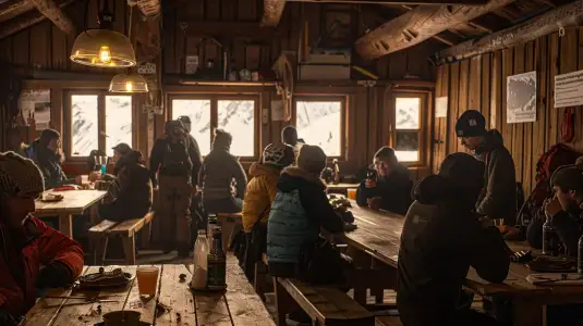
Mountain huts in the Tatras: Where is the best food, and where do you feel the real mountains?
Morskie Oko, Murowaniec, or Ornak? Which hut feels like a train station, and where can you still feel the magic of old-school alpine outings? A subjective guide to Tatras buffets and overnight stays.
#mountain huts#food#tips+1View post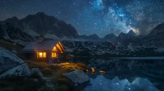 2026-03-22
Your first night in a hostel: What the guidebooks don’t tell you (but it’s worth knowing)
Sleeping in a room with 15 strangers, no hot water and a scramble for boiling water? A night in a Tatra mountain hut is an adventure you need to be prepared for
#mountain huts#accommodation#tips+1View post 2026-01-18
Gastro-Tatras: What should you eat at the mountain hut to make sure you don’t regret it?
Apple pie in Dolina Pięciu Stawów or sour soup in Murowaniec? Pork chop or pancakes? A brief guide to the best food at an altitude of 1,500 metres above sea level.
#food#mountain hutsView post