Difficulty: ModerateWestern Tatras
Giewont
Start: Kuźnice · via The cross on Giewont and The mountain hut at Hala Kondratowa
- 5:57 h
- Time
- 11.8 km
- Distance
- +912 m
- Ascent
1894 m a.s.l. · trail yellow / blue · start: Gronik
No reported closures or obstacles on this trail according to the official TPN bulletin (2 listopada 2026).
PolecanyYellow from Gronik
Czas i dystans tylko do celu. Zejście licz osobno.
Tempo
3 h 31 minSzacunek od czasu z opisu, bez kolejek i postojów.
Polecany jest na tej stronie. Inny start ma osobną kartę — własny opis i mapę.
| Wariant | Start | Czas przejścia | Łańcuchy | Kolor szlaku |
|---|---|---|---|---|
Yellow from GronikPolecany Gronik – Wielka Polana – Kondracka – summit. The map shows this climb. Count the descent separately. | Gronik | 3 h 31 min | TakChains only on the dome. The valley and Kondracka Pass have none. |
|
Blue from Kuźnice The classic there-and-back loop. Separate page. Zobacz ten szlak → | Kuźnice | 5 h 57 min | TakOne-way loop on the dome. Polished limestone. |
|
Red from Strążyska More views. Separate page with its own map. Zobacz ten szlak → | Dolina Strążyska | 3 h 15 min | TakThe same summit chains. TPN closes Grzybowiec in winter. |
|
Polecany
Yellow from Gronik
Gronik – Wielka Polana – Kondracka – summit. The map shows this climb. Count the descent separately.
Yellow from Gronik
Wykres podejść wygenerowany ze śladu GPX. Przesuń kursor lub palec po wykresie, aby sprawdzić profil podejścia i punkty kulminacyjne.
Wgraj trasę do zegarka sportowego (Garmin, Coros, Suunto, Apple Watch) lub aplikacji nawigacyjnej (Mapy.cz, Komoot, Locus Map, Strava) i nawiguj po szlaku w trybie offline bez zasięgu.
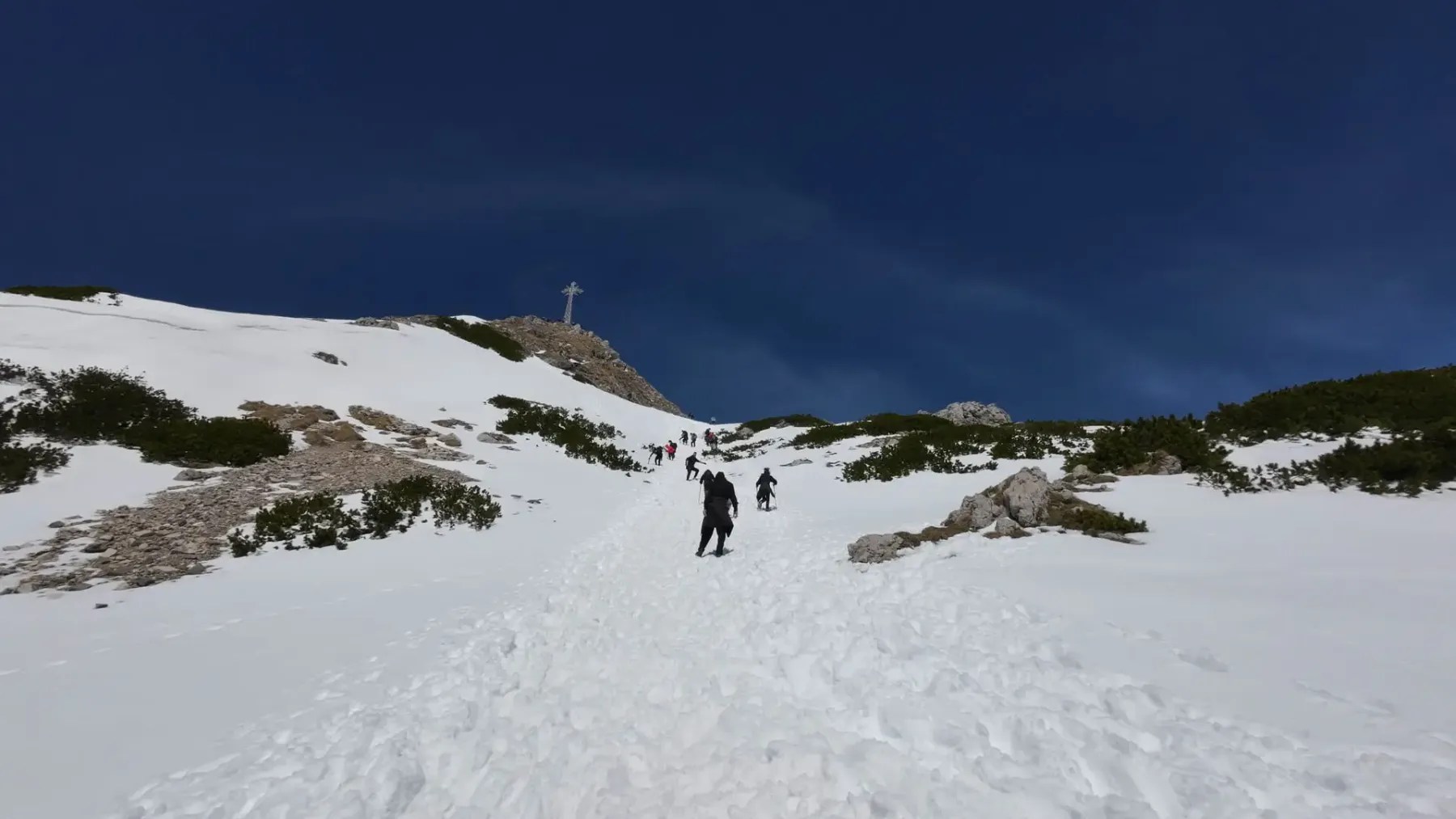
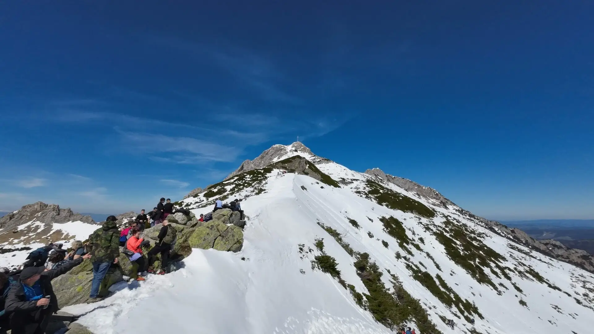
Giewont from Gronik goes yellow through Mała Łąka Valley, not blue from Kuźnice. The summit (1,894 m) and the chains on the dome are the same. The start is quieter, the car park is different, the queue under the cross is the same.
💡 In a nutshell – Giewont from Gronik:
- Route character: A quieter alternative to Kuźnice in the valley section. The ascent alone takes approx. 3.5 h (6 km). You must add the descent separately.
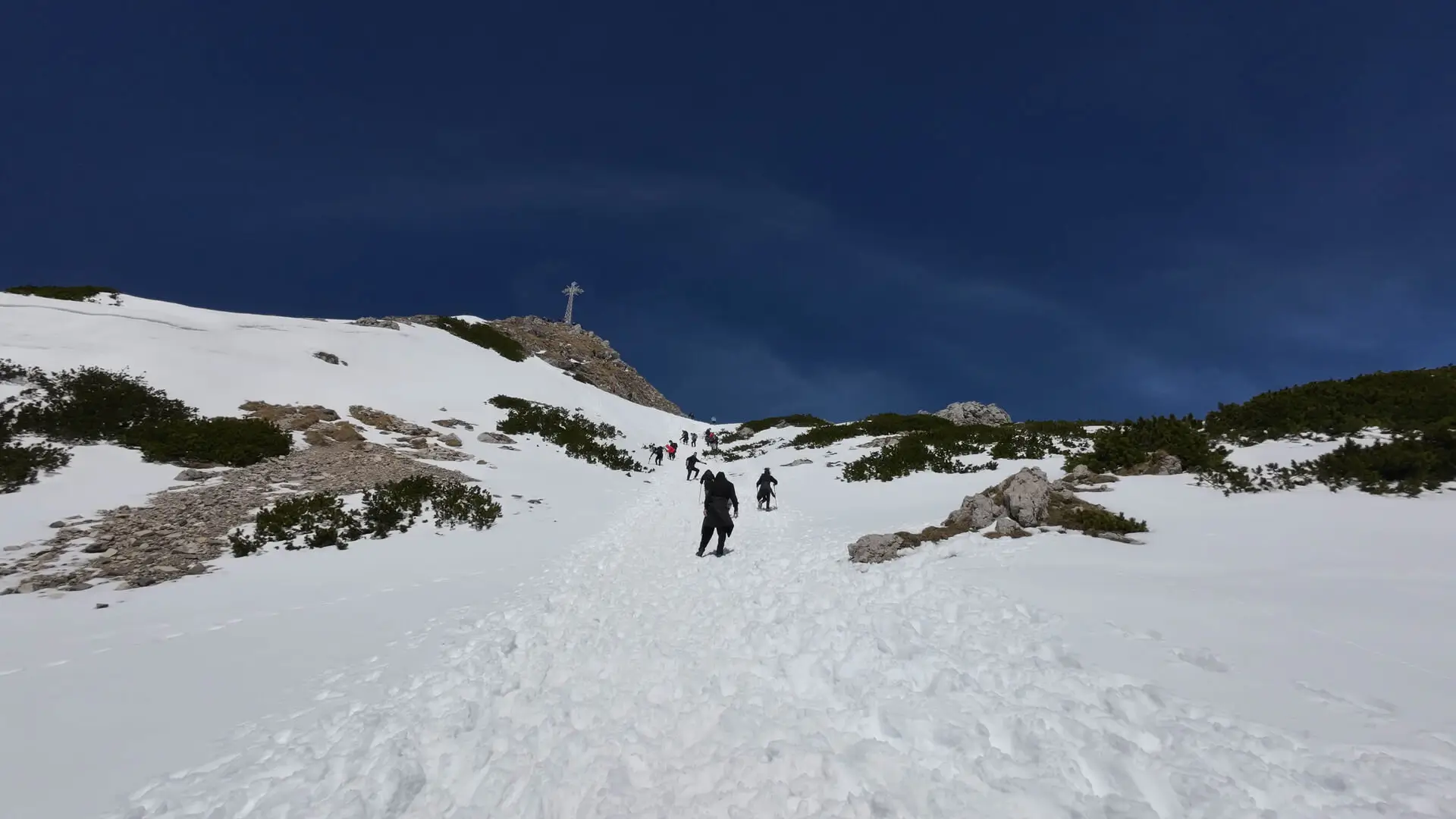
- Difficulties: You walk without chains up to Kondracka Pass (but it is steep). Chains and polished limestone await only on the summit dome.
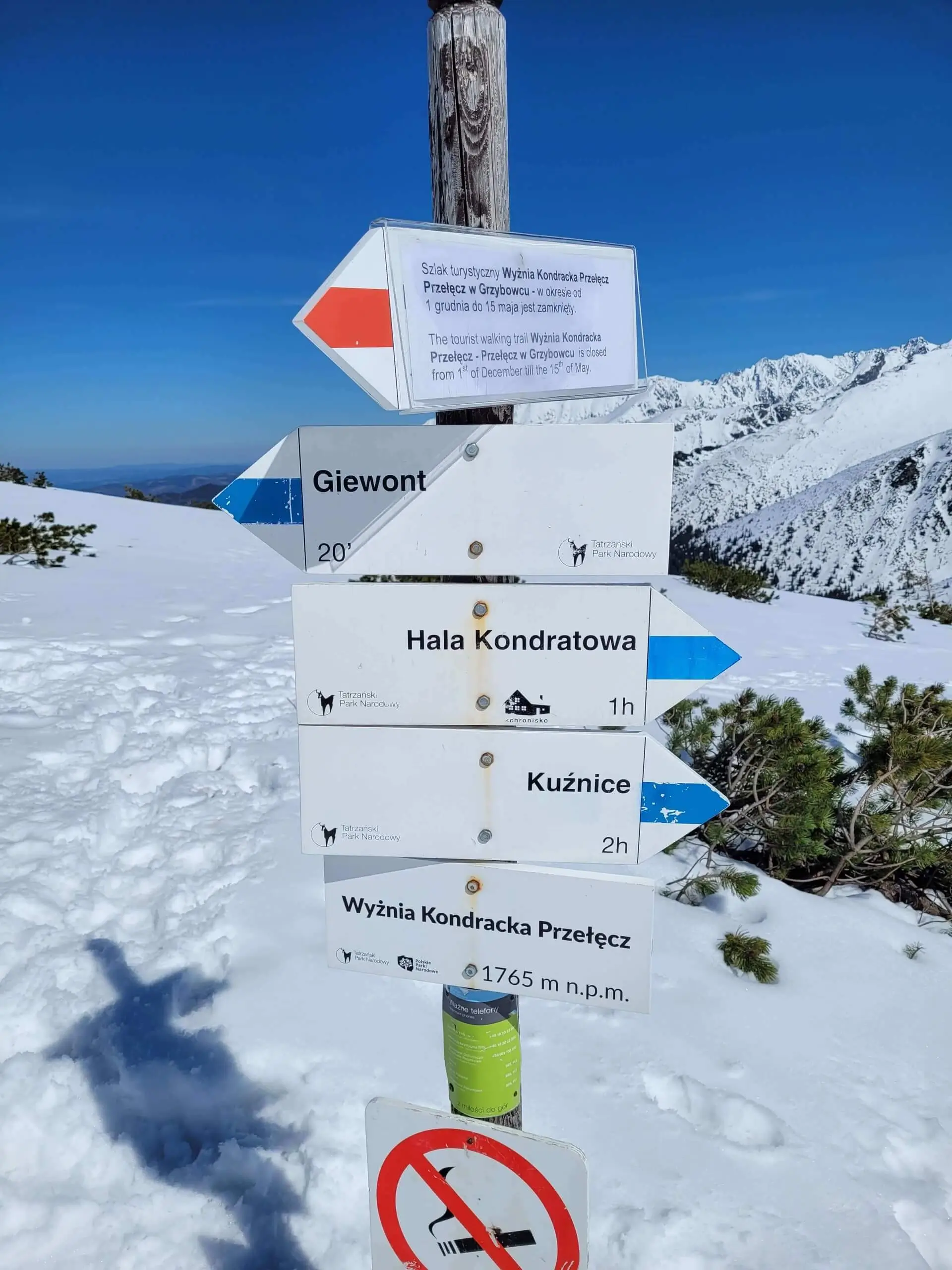
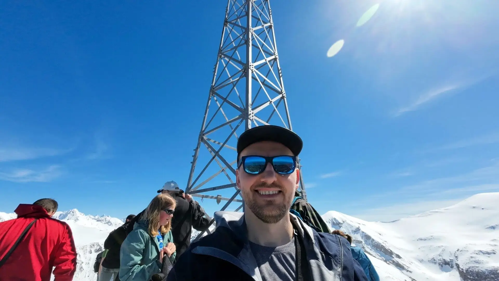
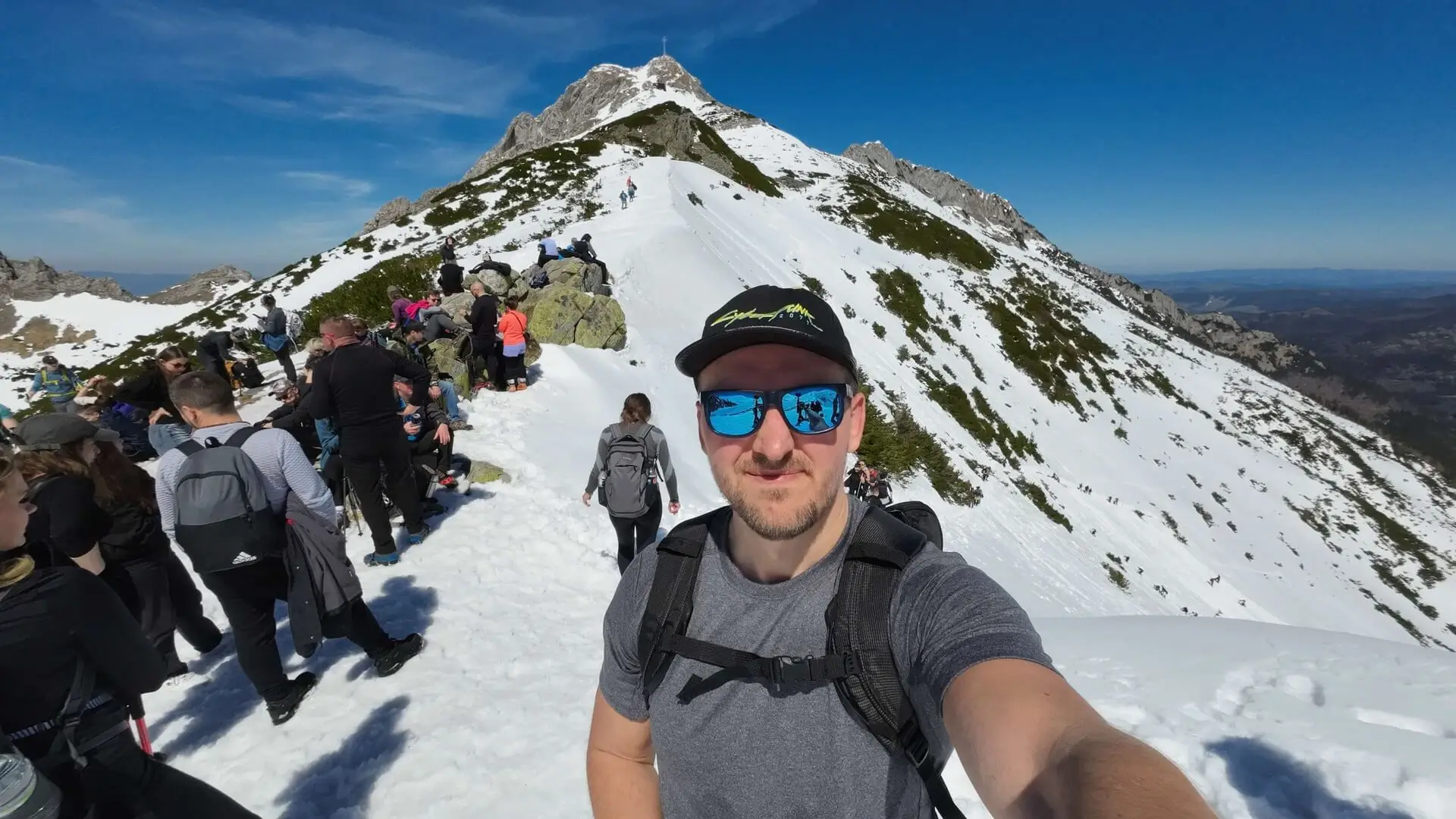
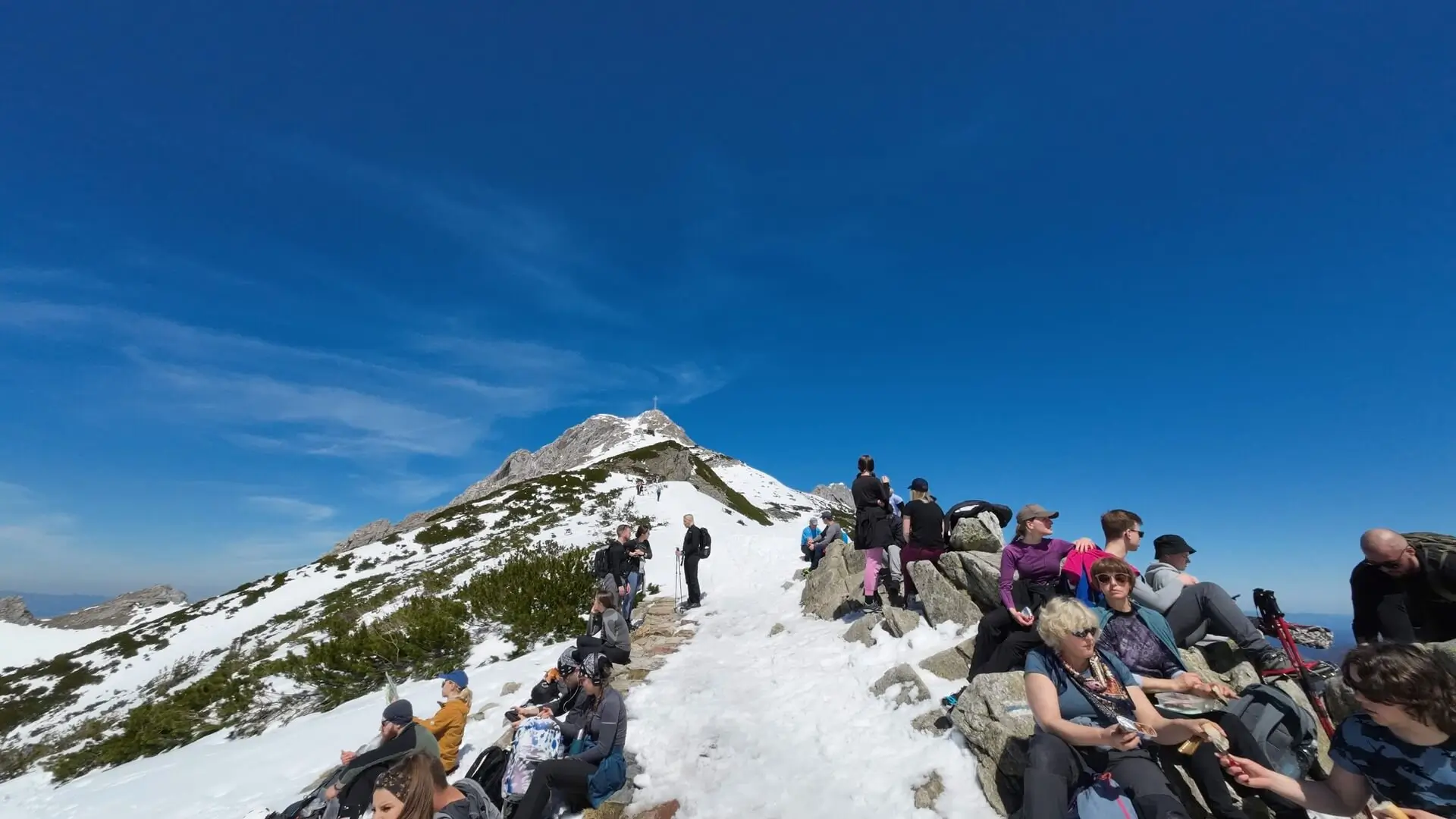
- Queues: At Wyżnia Kondracka Pass the trail merges with the one from Kuźnice. In season, be prepared to queue for the summit.
- Logistics: Start from the car park at Gronik. You can return the same way or descend to Kuźnice and take a minibus back.
The figures at the top of the page and map are the ascent: 6 km, 3 h 31 min, 981 m up. The map does not count the descent.
Start at Gronik, on the Zakopane–Kiry road. This is not a picnic on the meadow — the Mała Łąka Valley page ends lower down.
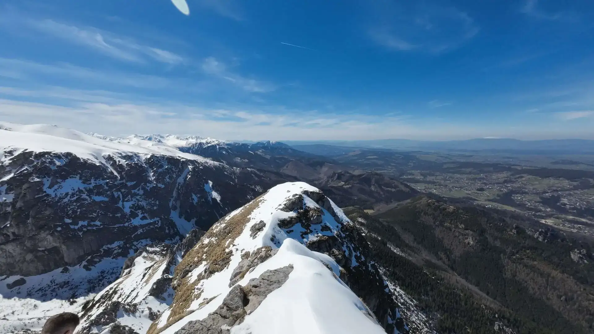
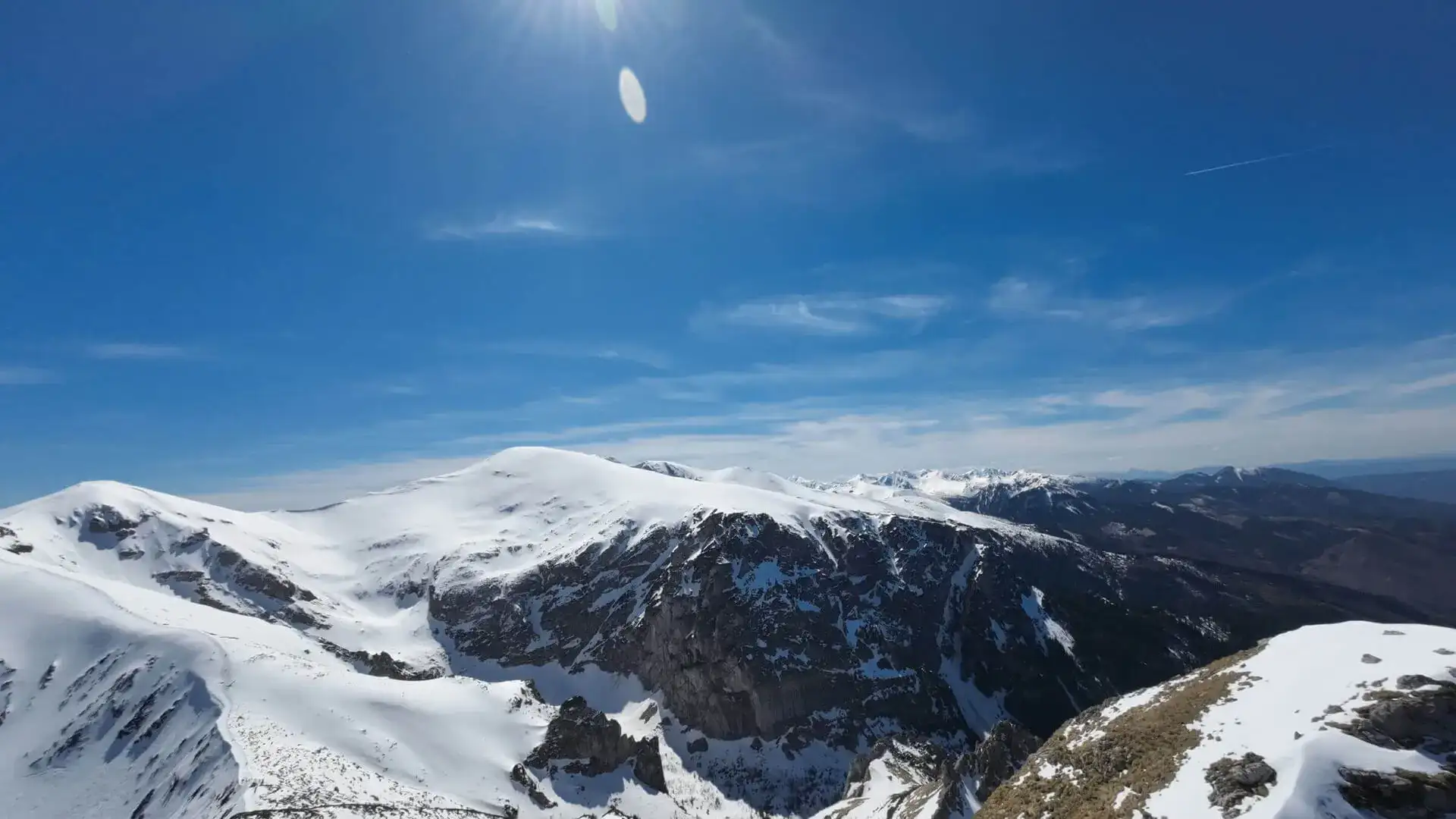
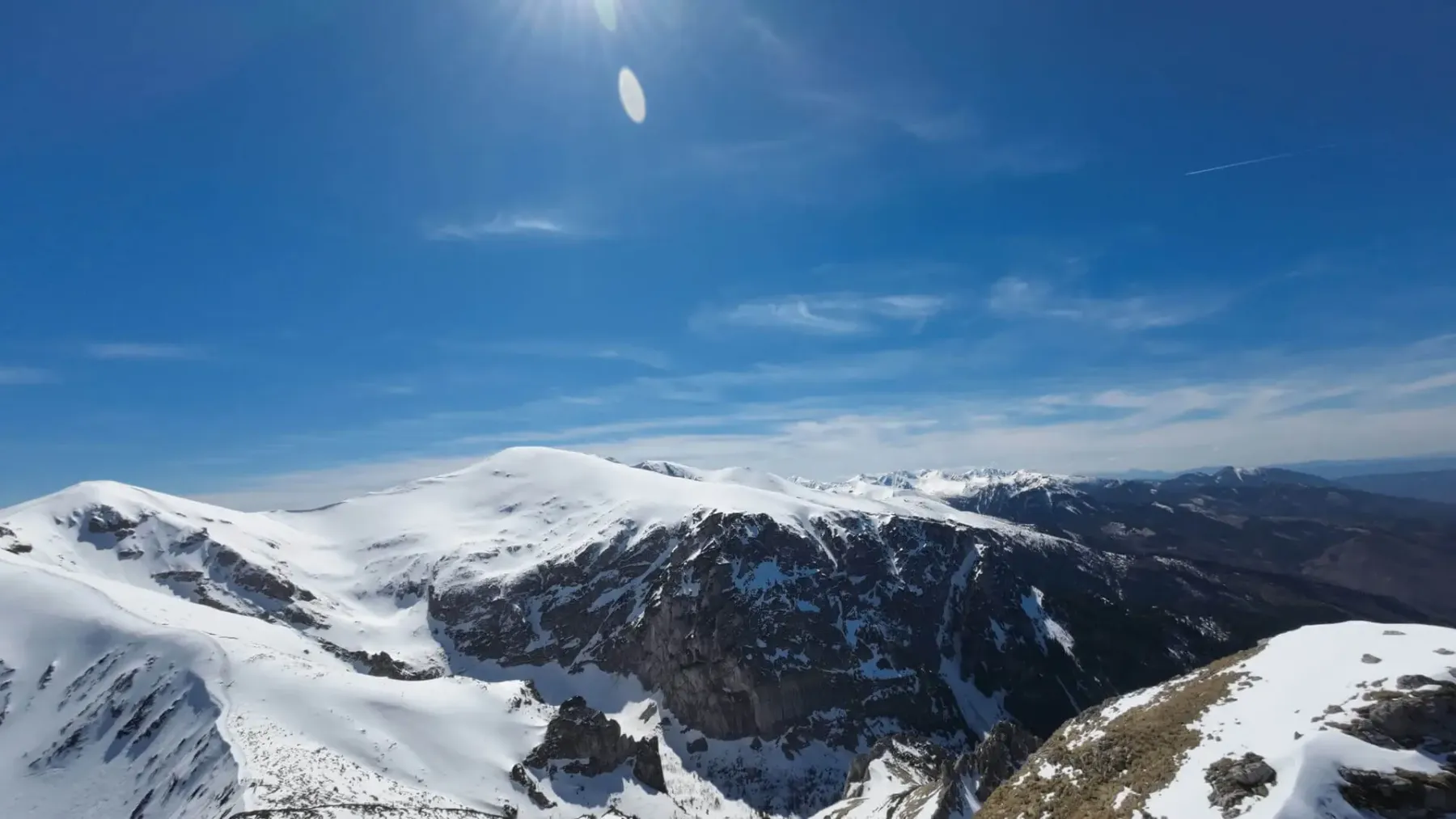
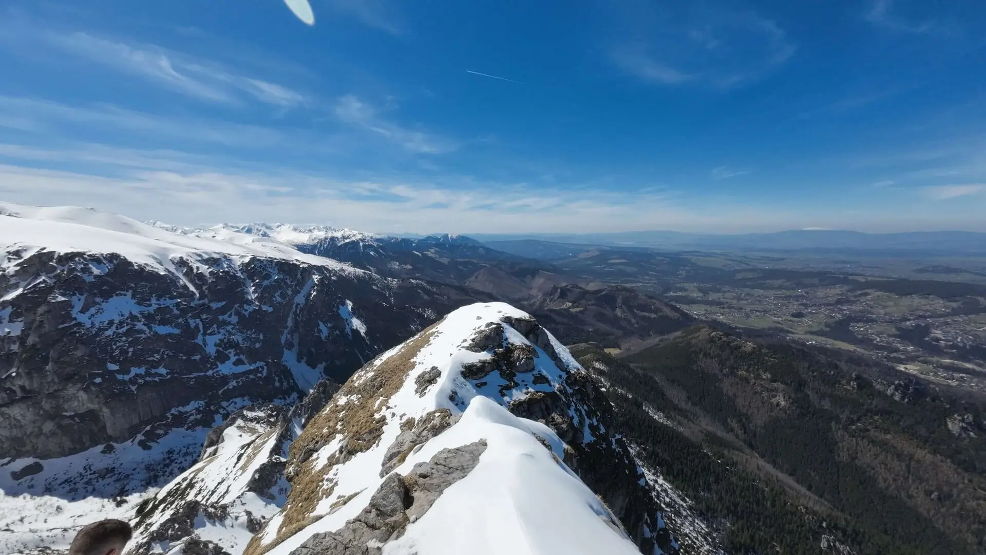
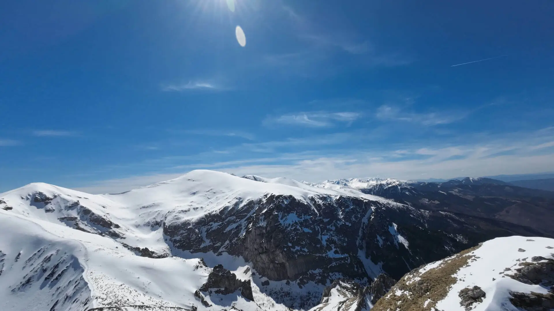
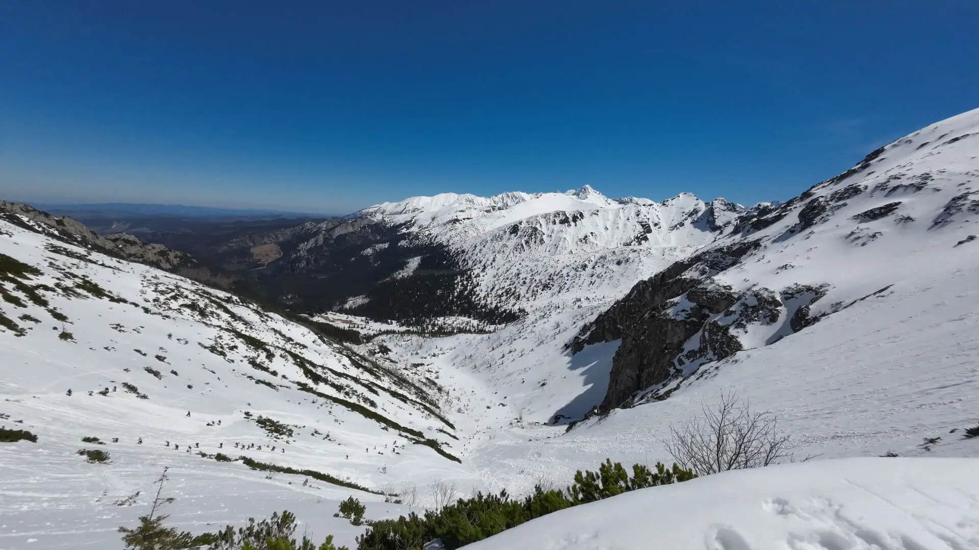
Zakopane to the north, Czerwone Wierchy and the High Tatras to the south. The view does not depend on where you started. Neither does the queue for the chains.
Two returns that make sense:
The TPN car park at Gronik is smaller than Kiry. Ticket at the trail or online. No hut in the valley. No dogs.
From the map, no queue:
3 h 31 min is walking time up. With the queue and the descent, plan 7–8 hours.
There is no closure date like Grzybowiec, but yellow above the meadow and the dome are two separate risks. Without microspikes and a willingness to turn around at Kondracka, stay on Wielka Polana.
Not an add-on after a sandwich on the meadow. Not for a first day on chains. Not with a child who is already sitting down on the yellow trail below the meadow. Not in fog on the dome.
If you only want the valley, stay on the Mała Łąka page. Giewont starts beyond the meadow, yellow uphill.
Trailhead logistics – reach the start smoothly without parking hassle.
TPN Gronik car park / Mała Łąka Valley entrance
Parking fee: 30–40 PLN / day
Medium forest car park along the Kościelisko road. TPN ticket booth on site (cards and cash accepted). Fast start for Małołączniak and Giewont.
Buses from Station towards Kościelisko / Kiry
Route & bus stop: Zakopane Main Station ➔ „Kościelisko Gronik” stop (on request)
Fare: ~7–9 PLN
Board any bus to Kiry or Chochołowska and ask the driver for the Gronik stop.
Local buses and transit help bypass morning traffic and parking hassles.
Complete guide to Tatra car parks, buses, and TPN reservations.
Tool
Check off items as you pack, switch between summer/winter and clear the list before your next trip. Progress is saved automatically.
Newsletter
A few times a year: trail conditions, closures, the best time to go and new routes. No weekly spam.
Planning your next hike? From the same starting point and area, we recommend:
Dolina Małej Łąki from Gronik to Wielka Polana with a view of Giewont: 4.2 km, 1 h 47 min, easy and quieter than the other valleys near Zakopane.
Start: Kuźnice · via The cross on Giewont and The mountain hut at Hala Kondratowa
Start: Dolina Strążyska · via Polana Strążyska and Przełęcz w Grzybowcu
Start: Mouth of the Žiarska Valley (car park) · via Highest point of the Western Tatras main ridge and Plačlivý Roháč

Halny in the Tatras can close trails and take the confidence out of a step. See how to recognise the danger, change the plan, and stay off the risky ground on a ridge and in the valleys.
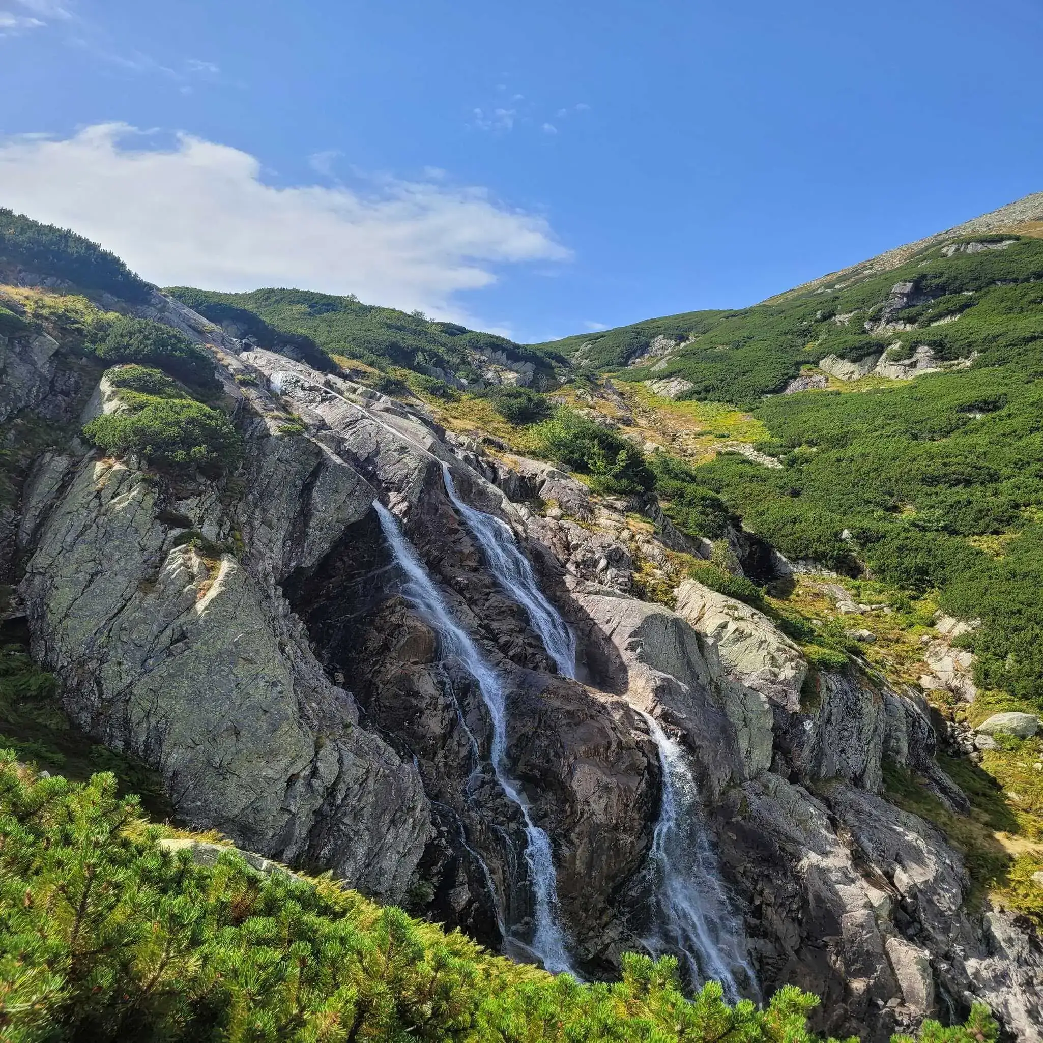
The finest waterfalls in the Tatras: the routes, the walking times, the difficulty, and how to pick a goal without the crowds, the mud and the stupid risks along the way.
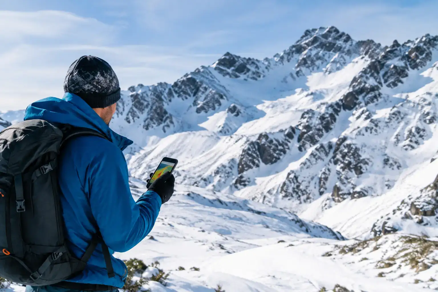
How to read the avalanche bulletin in the Tatras: what the danger level means, what the text, the aspect and the height add, and why the number is not enough on the ground.
These are affiliate links. If you book a stay or a ticket through them, we earn a small commission, for coffee :), at no extra cost to you.