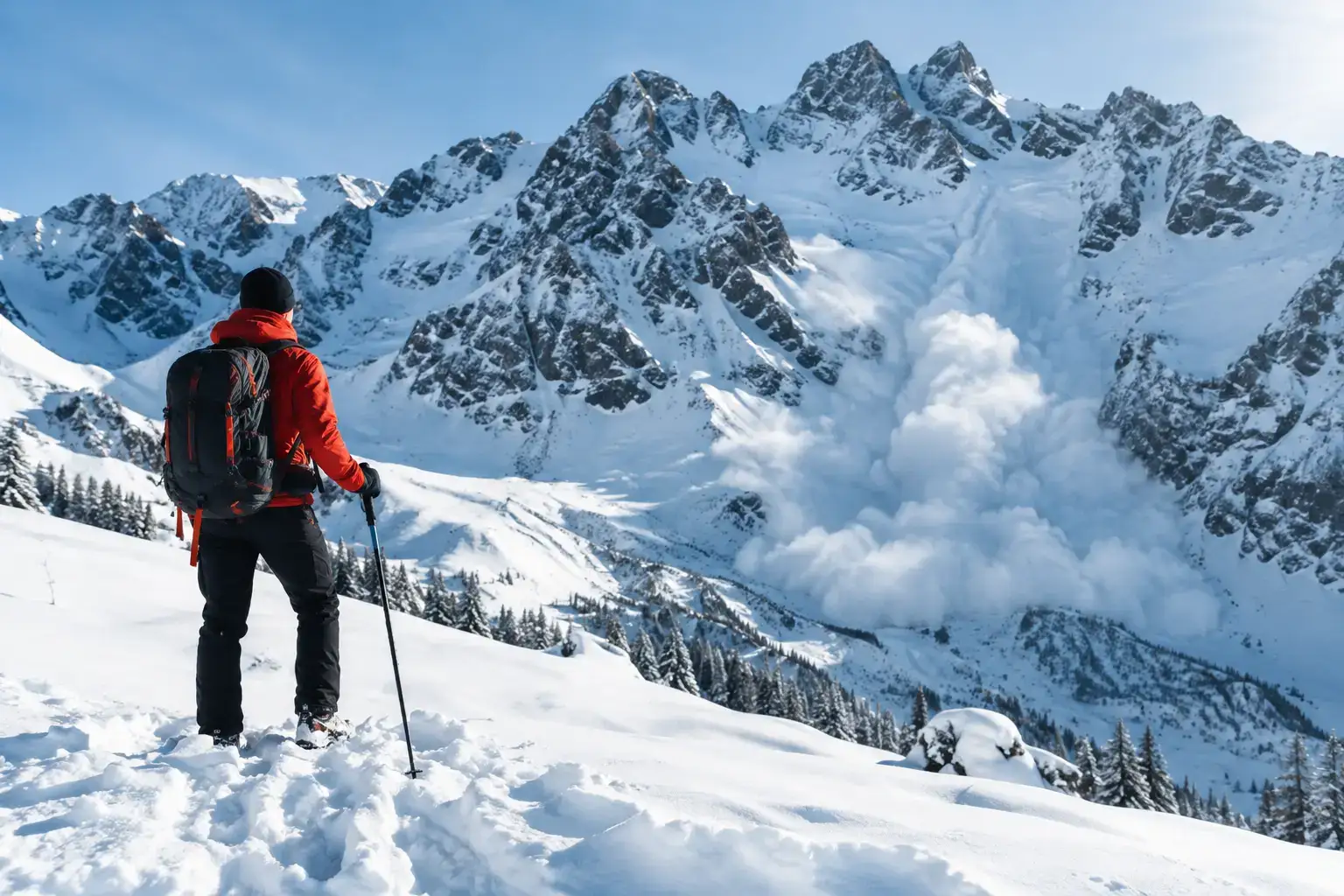
winter
Avalanches in the Tatras: the rules that save lives
Avalanches in the Tatras do not forgive a rush. Check the bulletin, the weather, the ground and the decisions that help you get back safely from a ski tour or a hike.
How to read the avalanche bulletin in the Tatras: what the danger level means, what the text, the aspect and the height add, and why the number is not enough on the ground.
Author: Konrad Leśniak8 min read
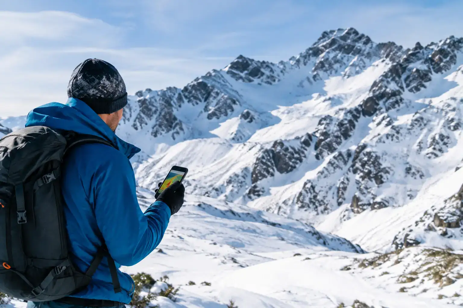
In the morning you see level two, and a simple plan appears in your head: we’re going high. Stop. If you type “how to read the avalanche bulletin Tatras” into a search box, you are looking for more than a number from 1 to 5. The bulletin is there to help you choose the ground, the hour, and the goal of the day. It is not a green light for any route, and it is not a sentence that you have to stay in Zakopane.
In the Tatras that difference is brutally practical. The same level two can mean a pleasant walk along the floor of Dolina Kościeliska, or a very bad idea in a steep, wind-loaded gully under a ridge. Safety is decided by a set of things: the steepness, the aspect, the height, the type of avalanche problem, the weather, and the ability to turn back before it gets tense.
Read the current bulletin in the morning, ideally before you leave the accommodation, not in the evening while you are planning. See which day it was written for, and which part of the Tatras. The forecast is for a specific time and specific snow conditions, and after a few hours of heavy snowfall, a strong wind, or a sudden thaw the situation can change clearly.
It also matters whether you are planning the Polish or the Slovak side. A border divides the massif, but the snow does not respect the border posts. Even so, local snowfall, wind, and the shape of the ground can create different problems on the two sides of a ridge. If the goal is a Slovak valley or a pass, check the bulletin that refers to that area.
The bulletin does not describe every chute, every step, and every path. It is a judgement of the danger on a regional scale. Your job is to translate it onto a specific route. Instead of asking only “what is the level?”, ask: where exactly is the problem, and does my route go there?
The five-level scale is necessary, and it is easy to misread. The most common mistake goes: one is safe, two is fine, three means you cancel. Reality is less convenient.
At level one the snowpack is usually well bonded, but an avalanche can still be triggered locally, especially on very steep ground. That is not a licence to walk under cornices, through gullies, and on hard, exposed slopes without judging the situation.
Level two is deceptive in the Tatras precisely because it appears often. The danger is described as moderate, but on the stated aspects and at the stated heights it can be real. A person can trigger an avalanche, especially on steep slopes. In other words: a wide, gentle road can be a sensible choice, and the neighbouring gully at more than 30 degrees a trap.
At level three the situation becomes serious. Avalanches can be triggered by a small extra load on many steep slopes, and natural releases are possible. That does not automatically ban every outing, but it sharply narrows the ground for people without solid winter experience. A valley, a low route in the forest, or a day on skis in a safer place is often a much better plan than an ambitious climb for height.
Levels four and five are not the moment to negotiate with your own ambition. High-mountain goals are out. A photo with a view does not make up for walking into ground where an avalanche can release on its own and travel far beyond the spot where you happen to be standing.
The most valuable part of the bulletin usually starts under the scale. Look for the height, the aspect, and the type of danger. If the text talks about north- and east-facing slopes above a given height, do not treat that as a technical extra. It is an instruction about where not to wander in without a reason.
Aspect is the direction a slope faces. A north-facing slope holds cold snow for longer, a south-facing one works faster in the sun, and the wind lays fresh snow on the lee side of a ridge. You do not have to be a meteorologist to use that. It is enough to be able to follow the line of the route on a map and recognise whether you will cross the slopes named in the bulletin, or stand under them.
Pay attention to the height limit. The bulletin may point to a problem above the treeline. A climb through the forest is not then proof that it will be calm higher up. Many people pick up a false sense of safety on an easy path, and then walk thoughtlessly out into open cirques, where the conditions are completely different.
The description of the avalanche problem tells you what to look for. Fresh snow after a heavy fall may not bond to the old layer. Wind-drifted snow builds wind slabs: hard, apparently stable plates that can crack under a load. A thaw and rain raise the risk of wet-snow avalanches, especially later in the day. These are not trivia to read over coffee. They decide whether it is better to leave early, stay in the valley, or change the plan entirely.
Most avalanches release on slopes of roughly 30-45 degrees. The problem is that judging the angle by eye in the field can be terrible. A wide snow slope can look innocent until you look at the map, or use a slope-angle layer in an app.
You do not have to walk the middle of the slope to be in danger. An avalanche can release higher up and run across your route in a gully, under a wall, or on the floor of a cirque. So look at your feet, and look above you. The climb along the floor of Dolina Pięciu Stawów can lead under slopes that collect snow. A passage through a narrowing, where there is no room to escape, needs an especially cool judgement.
You will not find a sentence in the bulletin that says this particular bend is safe. That is the job of the person planning the day. If you cannot judge the steepness, the exposure, and the line a possible avalanche would take, do not pretend that a weather app will settle it. Choose a route outside avalanche ground, or go with a competent partner.
The avalanche bulletin should be one part of the decision, alongside the weather, the trail notice, the map, and the real fitness of the group. Before you leave, go through four specific questions:
The last question is often the hardest. Many bad decisions do not come from a lack of information. They come from the cost of the stay, a day off that is only one day, or pressure from a friend who has been talking about a summit for a week. The Tatras are under no obligation to fit your schedule.
The bulletin is a forecast, and the ground gives you current data. Fresh avalanches on neighbouring slopes, cracks in the pack under skis or boots, a dull whumpf as the snow settles, wind-drifted pillows, and snow building up fast are alarm signals. Do not analyse them until the end of the day. Turn back, or choose ground an avalanche has nowhere to come from.
Do not settle the question of safety with one test either: the track is broken in, someone went ahead of us, or the snow feels hard, so we go. A broken track only says that someone has already been there. It does not say what they knew, how much luck they had, or what will happen after the next gust of wind.
If you are going into avalanche ground, a transceiver, a probe, and a shovel are the minimum, not a talisman. The kit works when the group can use it quickly and practises regularly. For people without a course and without experience, changing the goal is the more honest move than buying a set in a shop the evening before and deciding the problem is solved.
A good winter day in the Tatras does not have to end on a summit. Sometimes the best decision is a calm route in a valley, a hot tea, and saving the goal for conditions that really allow it. The mountains are not going anywhere. An avalanche does not ask how many kilometres you drove to get there.
Newsletter
A few times a year: trail conditions, closures, the best time to go and new routes. No weekly spam.
Avalanches in the Tatras do not forgive a rush. Check the bulletin, the weather, the ground and the decisions that help you get back safely from a ski tour or a hike.
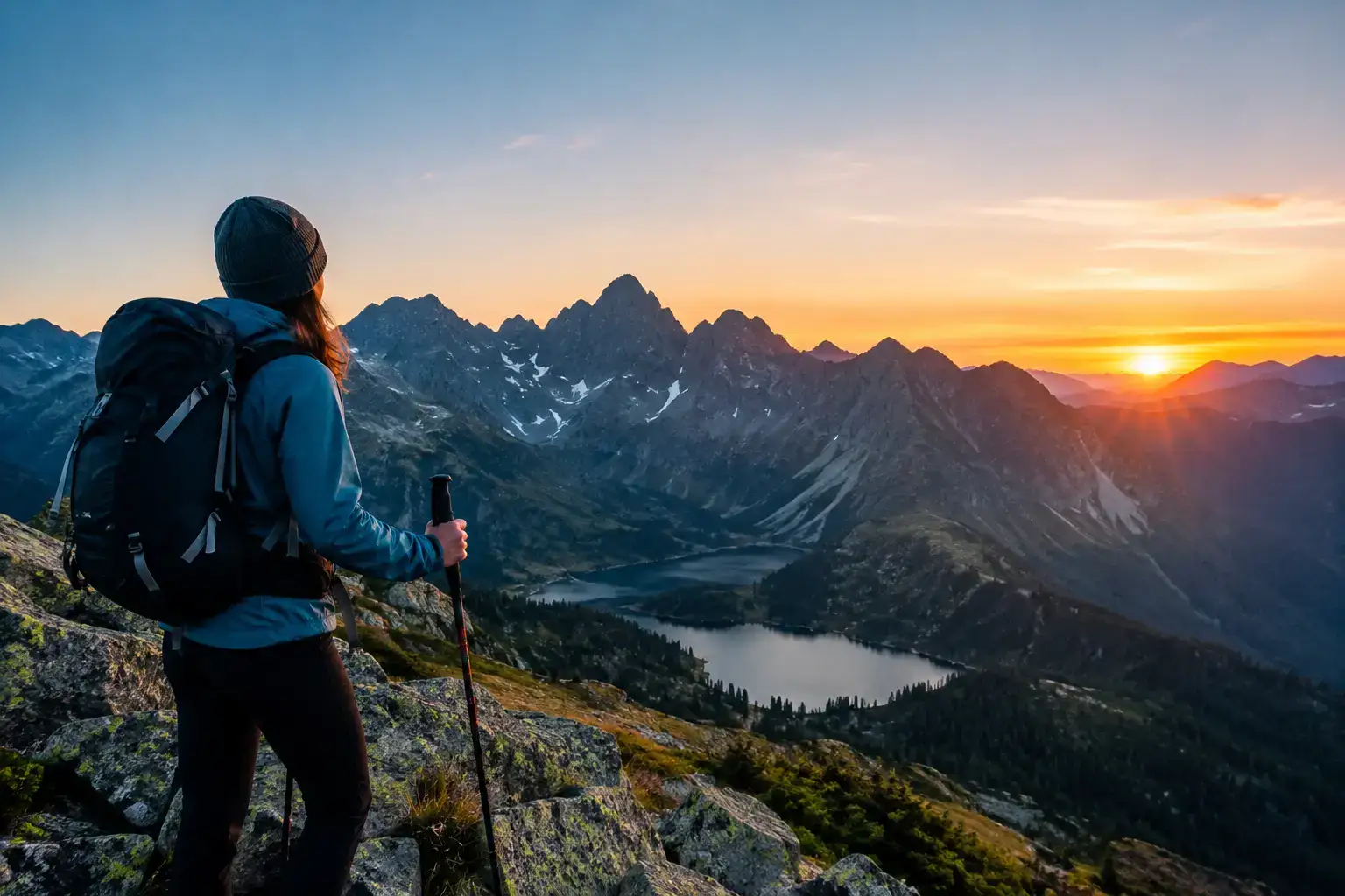
How to plan a pre-dawn start in the Tatras: the wake-up, the car park, the forecast, the kit and a plan B, so an ambitious route starts without chaos or needless risk.
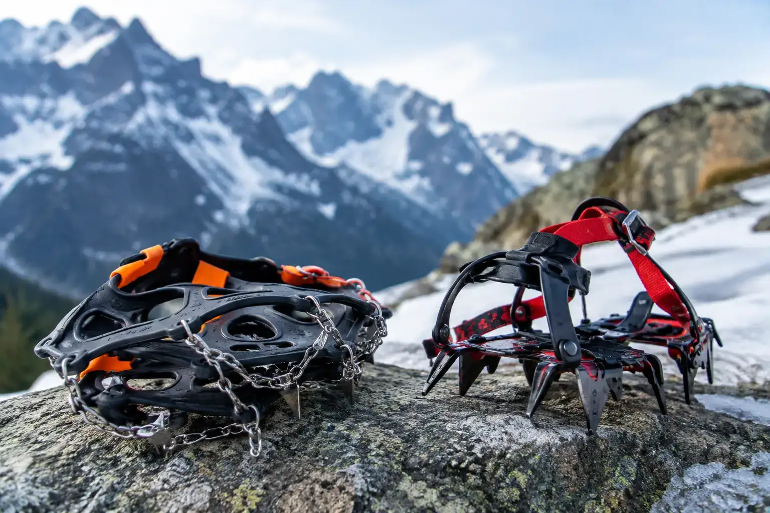
Microspikes or crampons for the Tatras? Match the kit to the snow, the ice and the route. Check the fit on your boots, and the moment to turn back without hesitation.
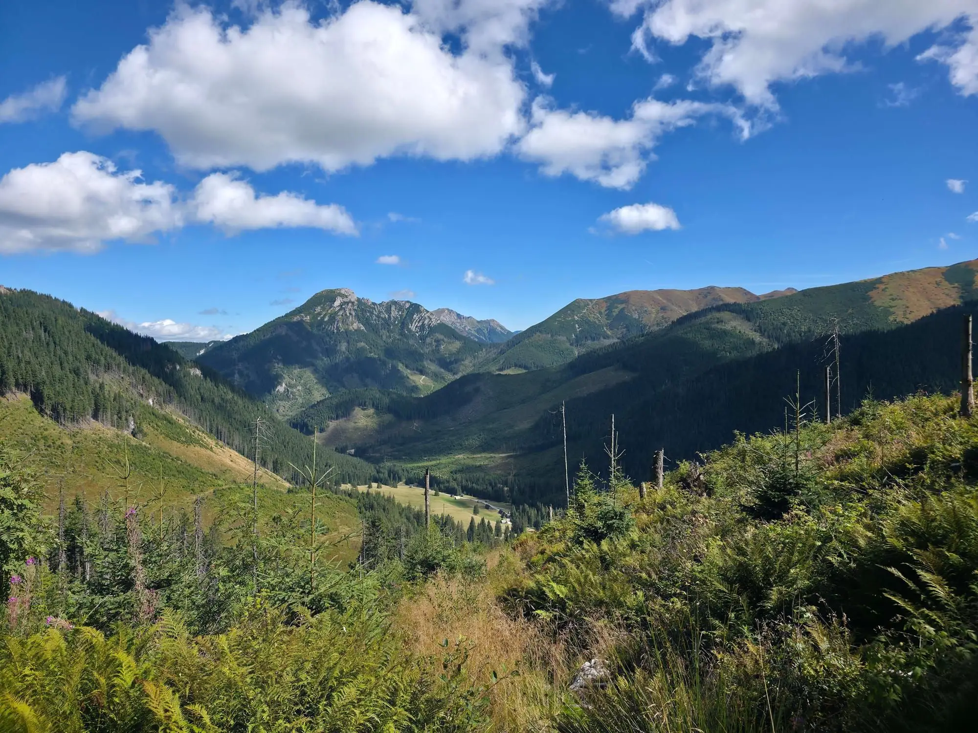
Start: Siwa Polana (Chochołów Valley) · via Panorama of the Slovak Roháče and The mountain hut at Chochołów Glade
Start: Kuźnice · via Murowaniec mountain hut and Czarny Staw Gąsienicowy
Start: Siwa Polana (Chochołów Valley) · via Panorama of Jakubina and Cliffs above Jamnicka Valley
These are affiliate links. If you book a stay or a ticket through them, we earn a small commission, for coffee :), at no extra cost to you.