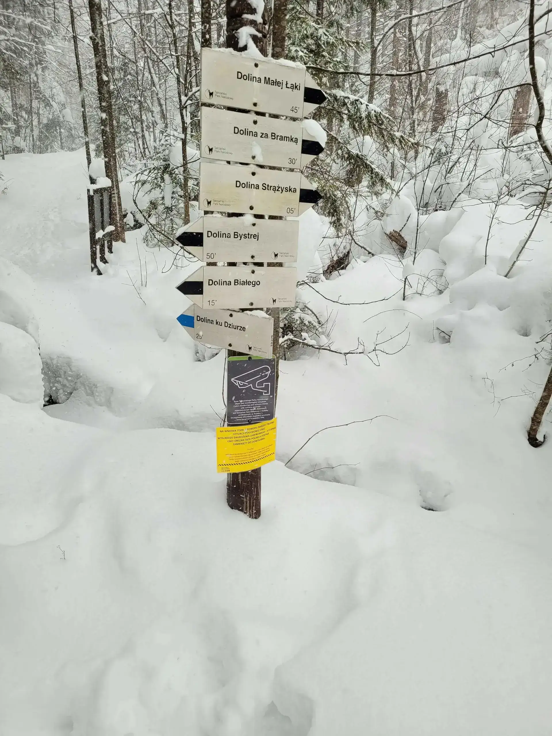
Difficulty: EasyWestern Tatras
Dolina Białego (The Biały Valley)
Start: Dolina Białego · via White Stream and Uranium Adits
- 2:10 h
- Time
- 5.1 km
- Distance
- +305 m
- Ascent
1112 m n.p.m. · trail green · start: Kiry
No reported closures or obstacles on this trail according to the official TPN bulletin (17 października 2026).
PolecanyKiry – Ornak
Czas i dystans dla całej wycieczki, z powrotem do startu.
Tempo
2 h 59 minSzacunek od czasu z opisu, bez kolejek i postojów.
Polecany jest na tej stronie. Inny start ma osobną kartę — własny opis i mapę.
| Wariant | Start | Czas przejścia | Łańcuchy | Kolor szlaku |
|---|---|---|---|---|
Kiry – OrnakPolecany Wide road, rock gates, the hut. A pushchair will reach Ornak. The figures at the top of the page show this loop. | Kiry | 2 h 59 min | Nie |
|
With Smreczyński Staw The same plus 30 minutes on the black trail through spruce forest. Leave the pushchair at the hut. Separate page: Smreczyński Staw. Zobacz ten szlak → | Kiry | 3 h 52 min | Nie |
|
With Kraków Gorge Turn off at Hala Pisana. Anyone can walk to the Rynek. The ladder and cave are a different page: Kraków Gorge. Zobacz ten szlak → | Kiry | 4 h | TakOnly Smocza Jama: ladder and chains. Valley floor has none. |
|
With Jaskinia Mylna Kiry – Ornak plus the cave at Pisana. Headlamp, mud. Separate page: Jaskinia Mylna. Zobacz ten szlak → | Kiry | 4 h | TakChain on the cave exit. The valley without. |
|
Polecany
Kiry – Ornak
Wide road, rock gates, the hut. A pushchair will reach Ornak. The figures at the top of the page show this loop.
Kiry – Ornak
Wykres podejść wygenerowany ze śladu GPX. Przesuń kursor lub palec po wykresie, aby sprawdzić profil podejścia i punkty kulminacyjne.
Wgraj trasę do zegarka sportowego (Garmin, Coros, Suunto, Apple Watch) lub aplikacji nawigacyjnej (Mapy.cz, Komoot, Locus Map, Strava) i nawiguj po szlaku w trybie offline bez zasięgu.
The Kościeliska Valley is the second largest (after Chochołowska) and, in the opinion of many, the most beautiful valley in the Polish Tatra Mountains. It is a veritable open-air museum of nature – here you will find vertical rock faces, a rushing stream, mysterious caves, and vast glades.
Thanks to its paved surface and gentle gradient, the main trail along the valley floor is accessible to virtually everyone, including families with children in pushchairs. However, Kościeliska is not just a walk – it is a hub for trails leading to the Tatra Mountains’ greatest underground attractions.
💡 In a nutshell – Kościeliska Valley in a nutshell:
- For whom: For everyone. You can push a pram along the valley floor all the way to the mountain hut.
- Attractions: Along the way, there are caves (Mroźna, Mylna) and the Kraków Gorge. They require detouring from the main trail and are a lot of fun, but you need a headlamp for Mylna!
- Logistics: At the beginning of the valley, you can hire a horse-drawn carriage, but it only goes as far as Polana Pisana (you have to walk the last 30 minutes to the hut). Bicycles are banned here.
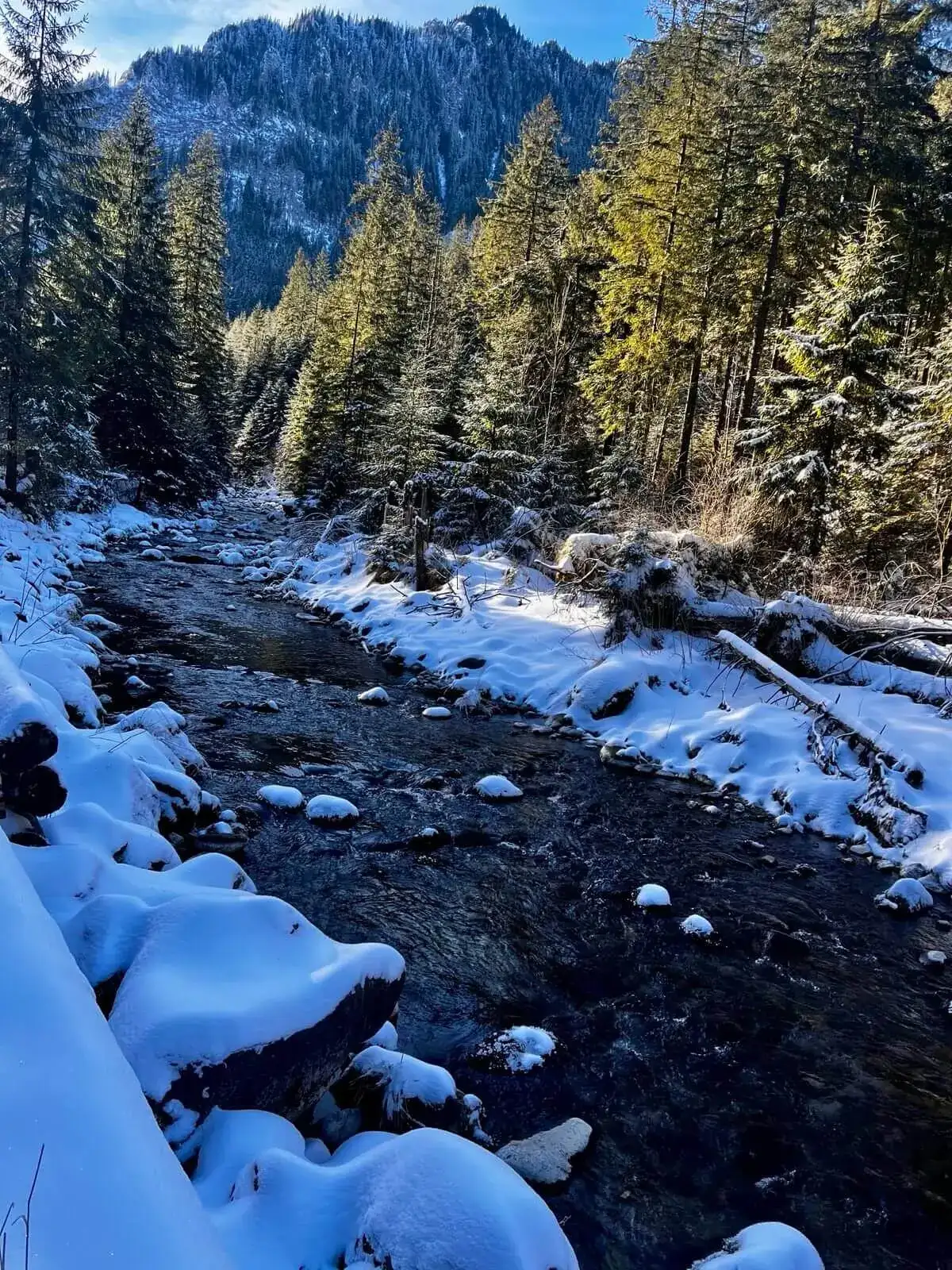
We set off from Kiry. The green trail follows a wide, gravel path alongside the Kościeliska Stream. The route offers stunning views, and its key features are the so-called rock gates through which the stream flows:
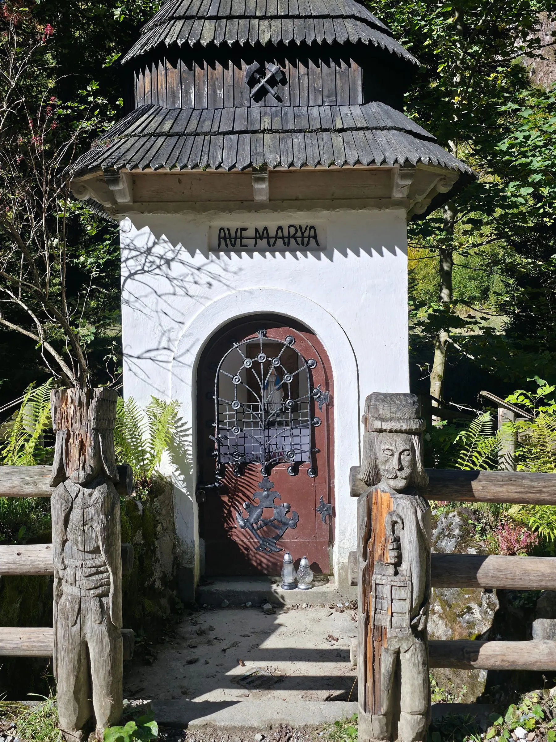
Along the way, we pass a bandit’s shrine and shepherds’ huts, where traditional sheep grazing takes place during the season (you can buy fresh oscypek cheese and żentyca!). The walk ends at Hala Ornak, where the beautiful, wooden PTTK mountain hut stands. From its terrace, there is a wonderful view of Kominiarski Wierch and Błyszcz.
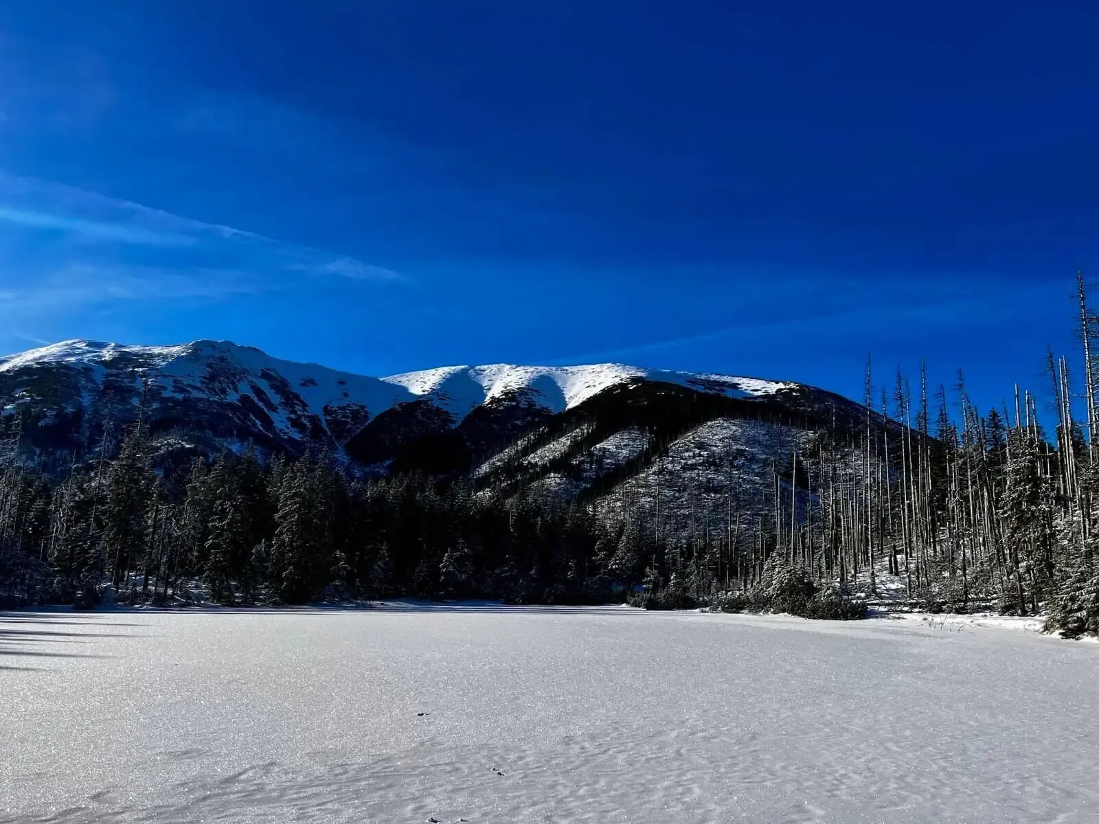
Side trails branch off the main road and can turn an easy walk into a real adventure. The figures at the top of the page show only the valley floor to the hut. If you want more, choose:
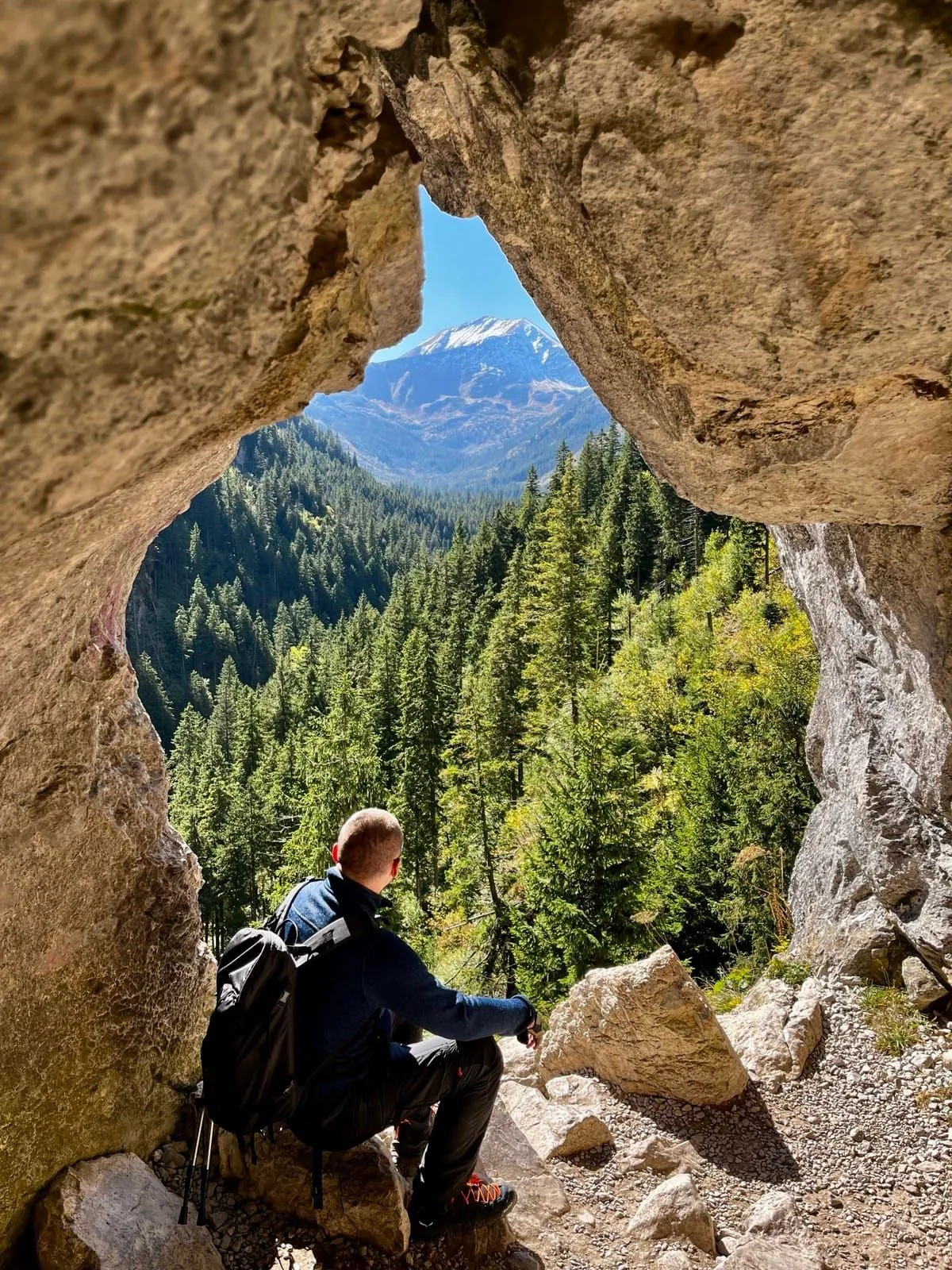
Walking times:
The time of 2 h 59 min at the top of the page is just the valley floor out and back, without entering the caves and without the pond.
Not for someone looking for solitude in the mountains – Kościeliska is one of the most popular valleys in the Tatras. Not for people who want a “short half-hour walk” – it is over 5.5 km one way to the hut. You cannot enter here with a dog (TPN ban). And if anyone in your group is afraid of the dark or tight spaces, give Mylna Cave and Smocza Jama a wide berth.
Trailhead logistics – reach the start smoothly without parking hassle.
Kiry car parks (at Kościeliska Valley entrance)
Parking fee: 30–40 PLN / day
Numerous parking lots line the road in Kiry. On sunny weekend mornings they fill up after 8:30 AM. Some accept cards, but cash is recommended.
Buses from Main Station towards Kościelisko & Kiry
Route & bus stop: Zakopane Main Station ➔ Aleje 3 Maja ➔ Kościelisko ➔ Kiry (bus stop right by TPN gate)
Fare: ~8–10 PLN one-way
Buses marked „Kiry / Dolina Kościeliska” depart every 10–15 minutes.
Local buses and transit help bypass morning traffic and parking hassles.
Complete guide to Tatra car parks, buses, and TPN reservations.
Tool
Check off items as you pack, switch between summer/winter and clear the list before your next trip. Progress is saved automatically.


Newsletter
A few times a year: trail conditions, closures, the best time to go and new routes. No weekly spam.
Planning your next hike? From the same starting point and area, we recommend:
Czerwone Wierchy (Red Peaks) from Kiry to Kuźnice over four 2000 m summits: 15.6 km, 8 h 27 min, no chains. Where to shorten the walk and what to do in fog.
Start: Dolina Białego · via White Stream and Uranium Adits
Start: Siwa Polana · via Chochołowska Glade and The mountain hut at Chochołowska Glade
Start: Gronik · via Wielka Polana Małołącka and View of Giewont
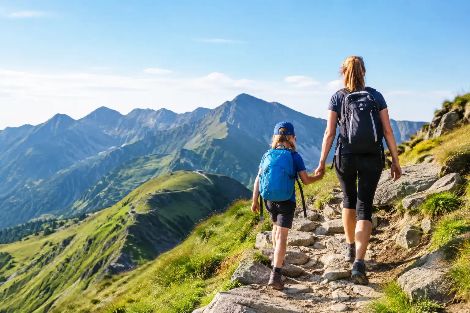
Can children go up Kasprowy Wierch? We look at the cable car, the trails, the weather and the rules, so a family trip does not end in stress in the Tatras in winter.
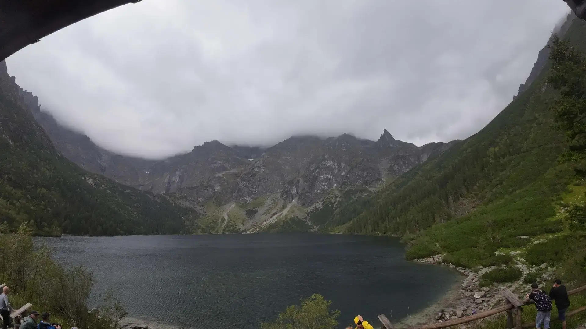
Morskie Oko: how long on foot? Check the real walk from Palenica, pace on the trail, stops, weather and a return plan without the summer rush and queues.
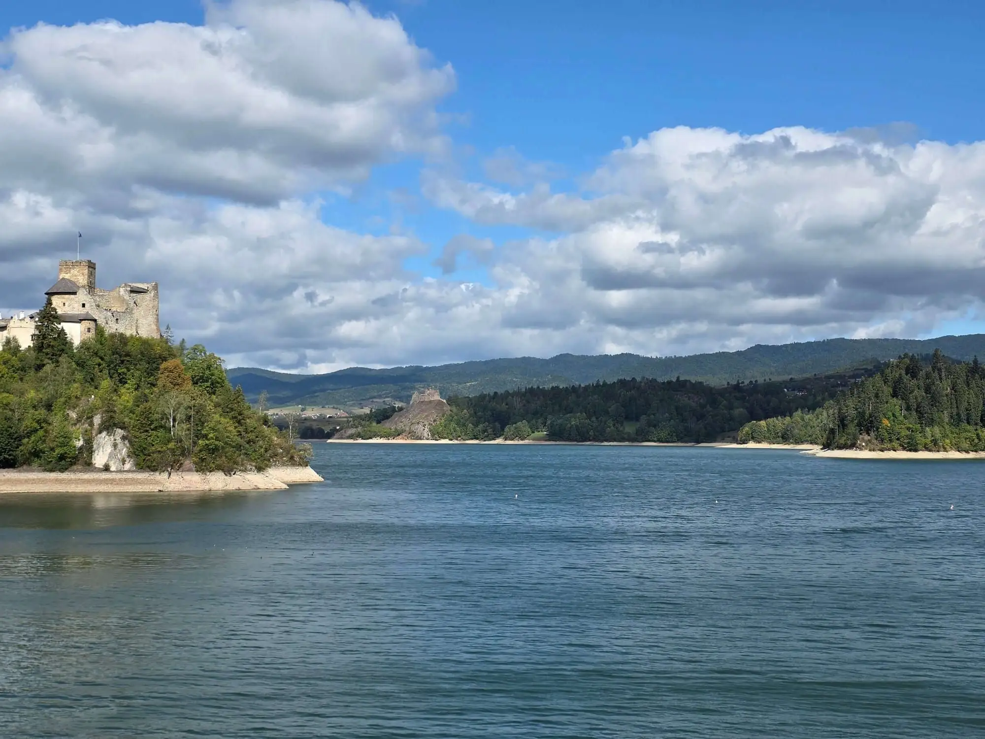
Lake Czorsztyn attractions: castles, boat trips, Velo Czorsztyn and views. See what to pick, where to stop, and how to dodge the crowds in summer heat.
These are affiliate links. If you book a stay or a ticket through them, we earn a small commission, for coffee :), at no extra cost to you.