Valley — Tatra trails and posts
Found 8 results for valley
Trails (8)
 Distance: 5.1 kmDuration: 2 h 10 min
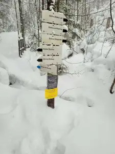
Dolina Białego (The Biały Valley)
Dolina Białego, a gorge walk right from Zakopane: 5.1 km, 2 h 10 min there and back, easy. Pushchair only in the lower part. The Sarnia Skała loop is separate.
Difficulty: easy
#western tatras#valley#for family+2View trailNo photo Distance: 12.6 kmDuration: 3 h 45 minDolina Chochołowska (The Chochołowska Valley)
Dolina Chochołowska from Siwa Polana to the mountain hut: 12.6 km, 3 h 45 min, easy. The only valley in Tatra National Park open to dogs on a lead. Bikes, crocuses.
Difficulty: easy
#western tatras#valley#for family+2View trail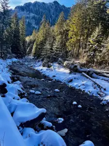 Distance: 11.1 kmDuration: 2 h 59 min
Dolina Kościeliska (The Kościeliska Valley)
Dolina Kościeliska, an easy valley walk near Zakopane: 11.1 km, 2 h 59 min from Kiry to the Ornak hut, pushchair-friendly. Mroźna and Mylna caves on the way.
Difficulty: easy
#western tatras#valley#for family+2View trailNo photo Distance: 4.2 kmDuration: 1 h 47 minDolina Małej Łąki (The Mała Łąka Valley)
Dolina Małej Łąki from Gronik to Wielka Polana with a view of Giewont: 4.2 km, 1 h 47 min, easy and quieter than the other valleys near Zakopane.
Difficulty: easy
#western tatras#valley#for family+2View trailNo photo Distance: 10.1 kmDuration: 3 h 26 minDolina Siedmich prameňov (Chata Plesnivec)
Dolina Siedmiu Źródeł from Tatranská Kotlina to Chata Plesnivec, the only hut in the Belianske Tatras: 10.1 km, 3 h 26 min, short and steep, no chains.
Difficulty: moderate (short, steep)
#slovakia#valley#mountain huts+2View trail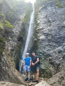 Distance: 4.8 kmDuration: 1 h 41 min
Dolina Strążyska i Wodospad Siklawica (The Strążyska Valley and Siklawica Waterfall)
Dolina Strążyska from Zakopane to Siklawica waterfall: 4.8 km, 1 h 41 min, very easy. Pushchair to the tea room on the meadow. Parking and the Sarnia Skała add-on.
Difficulty: very easy
#western tatras#valley#for family+2View trailNo photo Distance: 16 kmDuration: 7 h 30 minŠiroké sedlo (Szeroka Przełęcz Bielska)
Široké sedlo (Szeroka Przełęcz Bielska, 1826 m) from Ždiar via the Monkova Valley to Tatranská Kotlina: 16 km, 7 h 30 min. Few crowds. Closed 1 Nov – 31 May.
Difficulty: moderate / difficult (fitness)
#slovakia#quiet#panorama+2View trailNo photo Distance: 15.4 kmDuration: 5 h 25 minWielka Siklawa
Wielka Siklawa, Poland's highest waterfall, from Palenica via Mickiewicz Waterfalls and the Roztoka Valley: 15.4 km, 5 h 25 min. Green trail closed in winter.
Difficulty: medium (slippery rock)
#high tatras#waterfall#valley+2View trail