Difficulty: EasyWestern Tatras
Dolina Chochołowska (The Chochołowska Valley)
Start: Siwa Polana · via Chochołowska Glade and The mountain hut at Chochołowska Glade
- 3:45 h
- Time
- 12.6 km
- Distance
- +321 m
- Ascent
1112 m a.s.l. · trail red / yellow · start: Zakopane (Strążyska street)
No reported closures or obstacles on this trail according to the official TPN bulletin (20 października 2026).
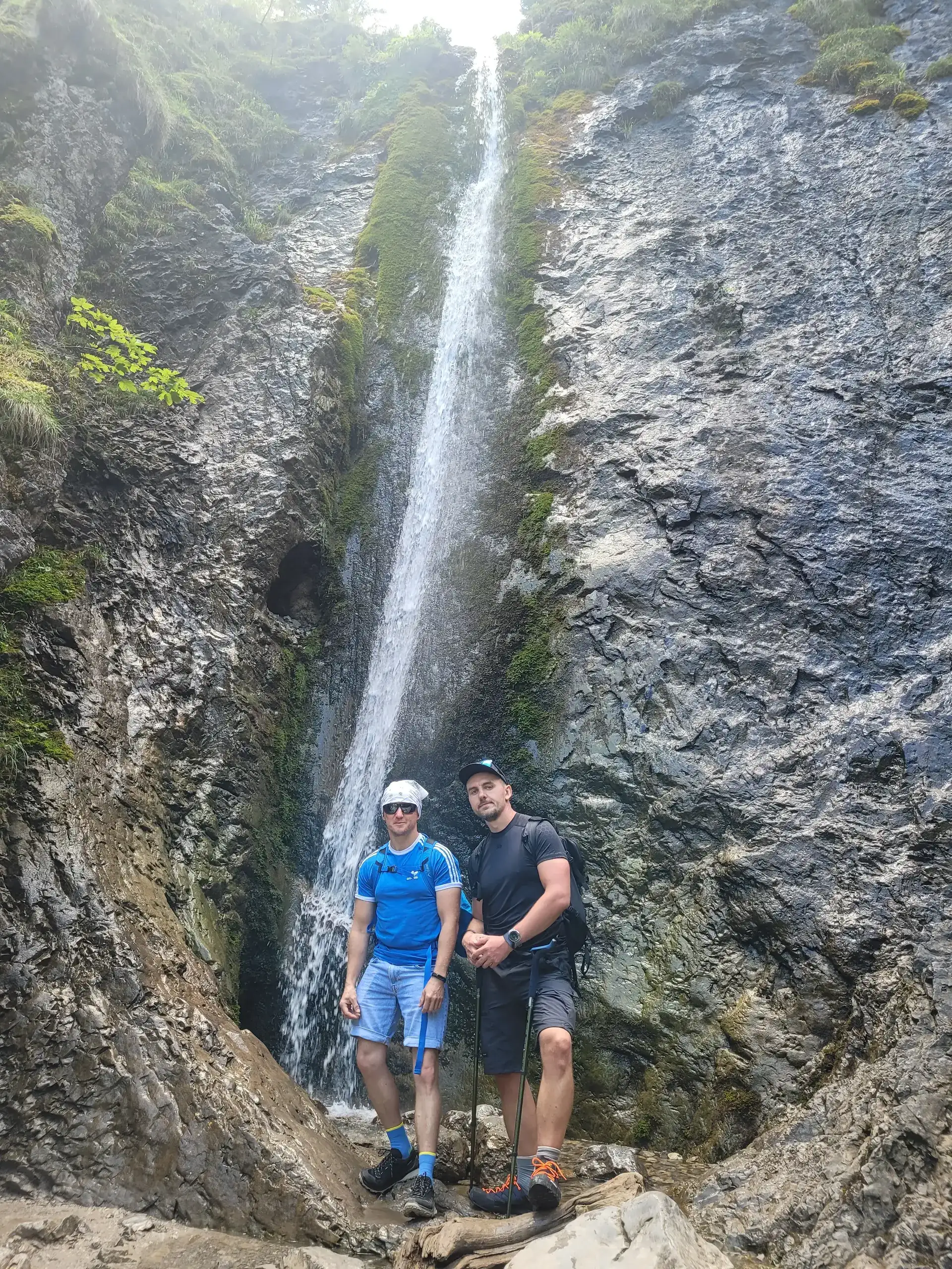
PolecanyMeadow and Siklawica
Czas i dystans dla całej wycieczki, z powrotem do startu.
Tempo
1 h 41 minSzacunek od czasu z opisu, bez kolejek i postojów.
Polecany jest na tej stronie. Inny start ma osobną kartę — własny opis i mapę.
| Wariant | Start | Czas przejścia | Łańcuchy | Kolor szlaku |
|---|---|---|---|---|
Meadow and SiklawicaPolecany Wide path to the meadow, yellow trail to the waterfall, back the same way. No chains. The figures at the top of the page show this loop. | Strążyska Street | 1 h 41 min | Nie |
|
Polana Strążyska only Pushchair to the tea room. The view of Giewont stays. You will not see Siklawica from here. | Strążyska Street | 1 h 20 min | Nie |
|
Loop via Sarnia Skała Black trail from the meadow to Sarnia, down Dolina Białego. Still no chains. Separate page: Sarnia Skała. Giewont via Grzybowiec is a different page. Zobacz ten szlak → | Strążyska Street | 3 h 45 min | Nie |
|
Polecany
Meadow and Siklawica
Wide path to the meadow, yellow trail to the waterfall, back the same way. No chains. The figures at the top of the page show this loop.
Meadow and Siklawica
Wykres podejść wygenerowany ze śladu GPX. Przesuń kursor lub palec po wykresie, aby sprawdzić profil podejścia i punkty kulminacyjne.
Wgraj trasę do zegarka sportowego (Garmin, Coros, Suunto, Apple Watch) lub aplikacji nawigacyjnej (Mapy.cz, Komoot, Locus Map, Strava) i nawiguj po szlaku w trybie offline bez zasięgu.
The Strążyska Valley is a classic Zakopane stroll. Close to the town centre, short and very scenic, it is the ideal choice for a first taste of the Tatras, a trip with young children or a relaxing walk on a rest day.
💡 In a nutshell – Strążyska Valley in a nutshell:
- For whom: Perfect for families with pushchairs and small children. Flat, wide, and short (about 40 minutes one way).
- Attractions: Siklawica Waterfall (10 mins from the meadow) and the best possible view of the Giewont wall.
- Logistics: A pushchair will only go as far as Polana Strążyska. You have to walk over rocks to get right to the waterfall, so leave the pushchair by the buffet (Tea Room).
- Pro Tip: Don’t drive here! Car parks are expensive and tiny. You can walk here from Krupówki in 20 minutes.
This is where Giewont looks most majestic - its vertical, 600-metre north face seems to hang directly above the end of the valley.
The figures at the top of the page show the classic walking variant: reaching Polana Strążyska, a short hop to Siklawica Waterfall and returning the same way.
The trail starts at the end of Strążyska Street in Zakopane.
After about 40 minutes, the forest opens and we emerge onto Polana Strążyska.
Once you are on the meadow, it would be a sin not to go further! We leave the pushchair (if we have one) at the Tea Room and join the yellow trail.
From Polana Strążyska you can continue into the mountains:
Do not come here on an August noon if you are looking for peace and solitude – it is one of the most crowded valleys in the Tatras. Do not try to push a stroller right up to the waterfall (leave it in the meadow). Do not bring a dog here (TPN ban). If you want to conquer Giewont, do not treat this walk as a “quick trip after lunch” – climbing the summit is a serious expedition.
Trailhead logistics – reach the start smoothly without parking hassle.
Strążyska Street car park (valley entrance)
Parking fee: 35–45 PLN / day (or ~8 PLN / hour)
Very limited capacity – in summer and sunny weekends it fills up before 8:30 AM. Walking from central Zakopane (approx. 25 min from Krupówki) is often better.
Municipal line 12 or walk on foot
Route & bus stop: Main Station ➔ city bus line 12 to Strążyska St. or walking from Krupówki
Fare: ~4–5 PLN city ticket (or free on foot)
If staying in downtown Zakopane, leave your car – walking down Strążyska St. is an easy warm-up.
Local buses and transit help bypass morning traffic and parking hassles.
Complete guide to Tatra car parks, buses, and TPN reservations.
Tool
Check off items as you pack, switch between summer/winter and clear the list before your next trip. Progress is saved automatically.


Newsletter
A few times a year: trail conditions, closures, the best time to go and new routes. No weekly spam.
Planning your next hike? From the same starting point and area, we recommend:
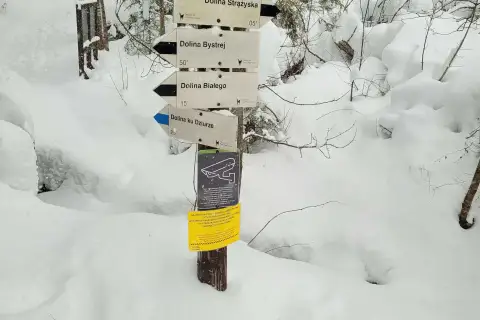
Dolina Białego, a gorge walk right from Zakopane: 5.1 km, 2 h 10 min there and back, easy. Pushchair only in the lower part. The Sarnia Skała loop is separate.
Start: Siwa Polana · via Chochołowska Glade and The mountain hut at Chochołowska Glade
Start: Gronik · via Wielka Polana Małołącka and View of Giewont
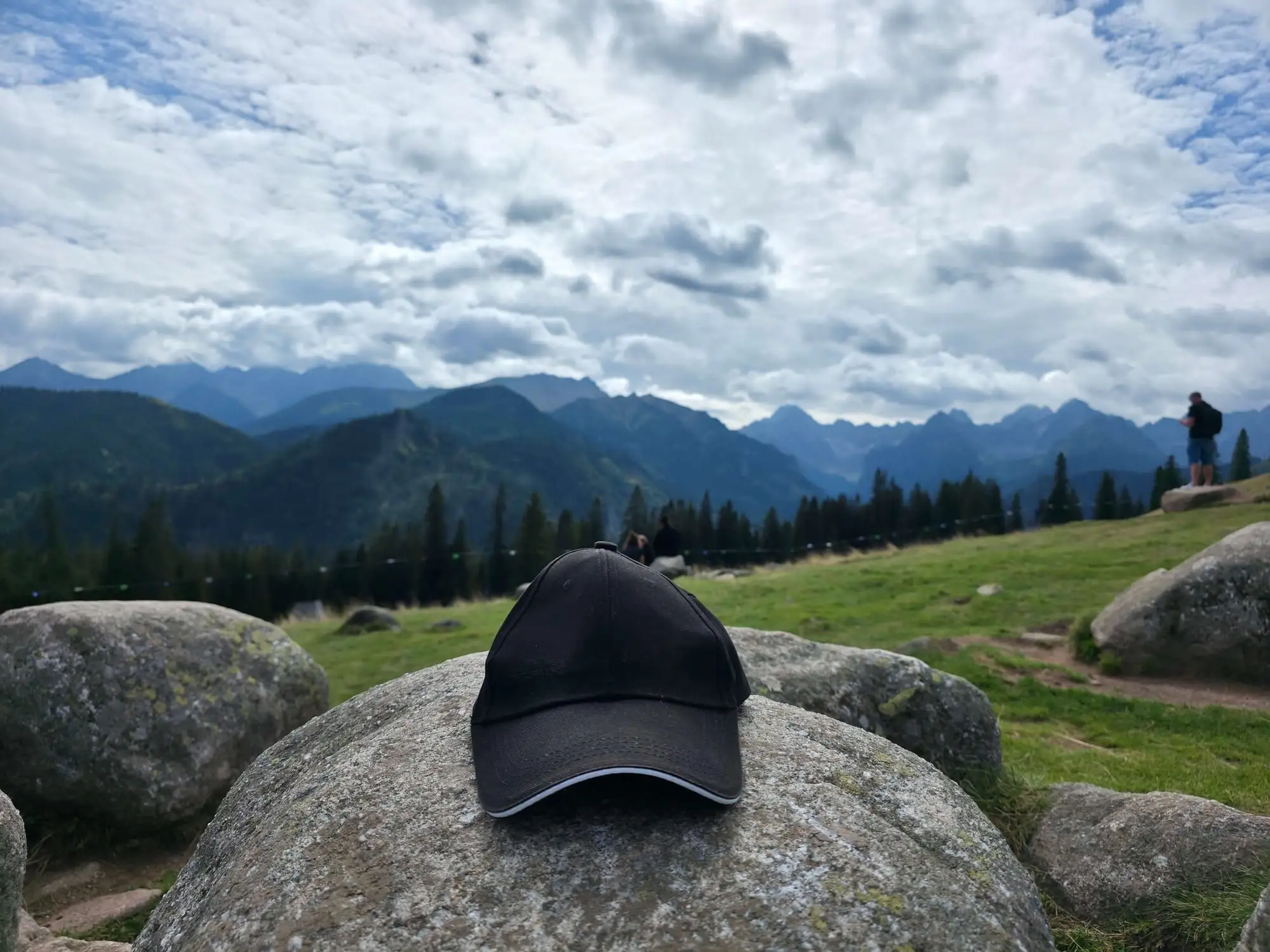
Start: Wierch Poroniec · via Panorama of the High Tatras and Wiktorówki sanctuary
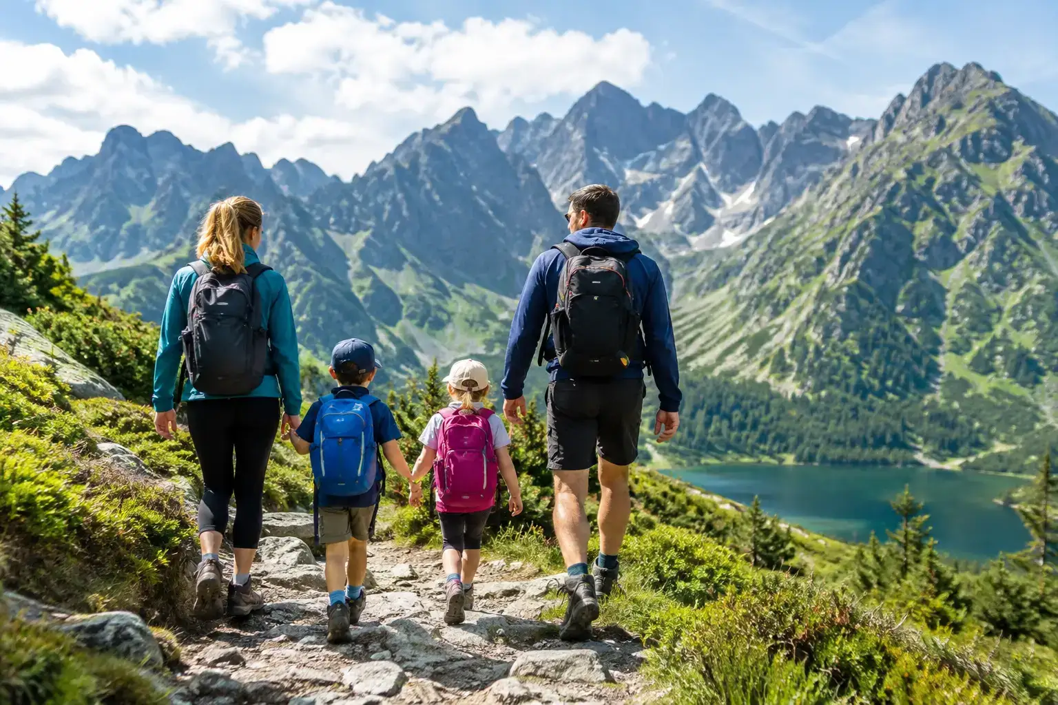
Trails with kids in the Tatras: routes that do not overestimate their strength. Check times, difficulty, weather, pushchairs, crowds and the rules of a safe turnaround.
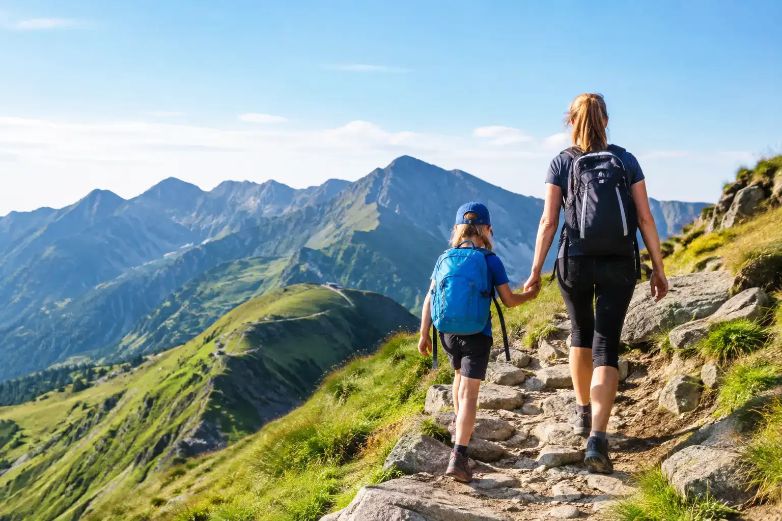
Can children go up Kasprowy Wierch? We look at the cable car, the trails, the weather and the rules, so a family trip does not end in stress in the Tatras in winter.
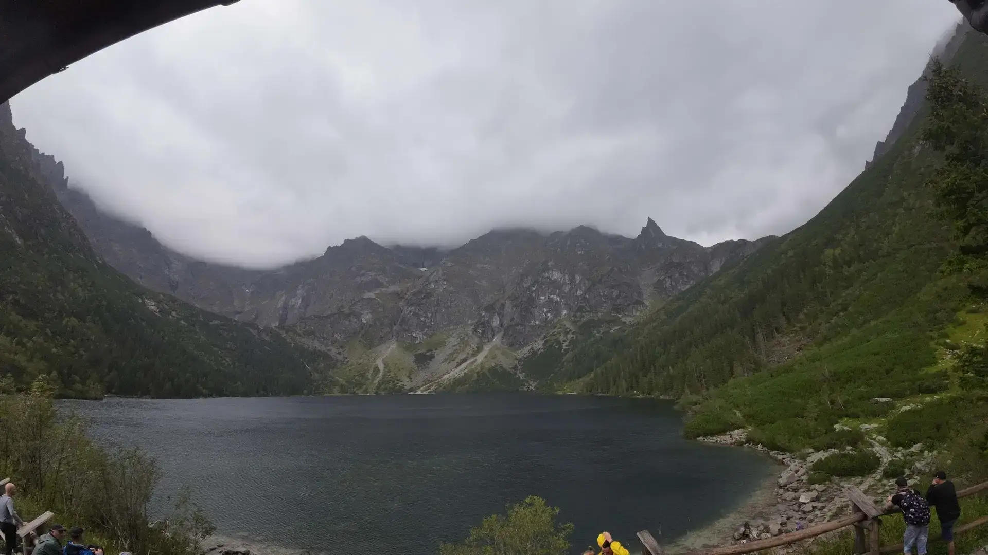
Morskie Oko: how long on foot? Check the real walk from Palenica, pace on the trail, stops, weather and a return plan without the summer rush and queues.
These are affiliate links. If you book a stay or a ticket through them, we earn a small commission, for coffee :), at no extra cost to you.