Difficulty: HardHigh Tatras (Vysoké Tatry)
Bystrá lávka (Bystra Ławka)
Start: Štrbské Pleso · via Skok waterfall and Mlynická and Furkotská valleys
- 7:51 h
- Time
- 16 km
- Distance
- +1048 m
- Ascent
1600 m a.s.l. · trail green · start: Palenica Białczańska
No reported closures or obstacles on this trail according to the official TPN bulletin (18 października 2026).
PolecanyPalenica – Siklawa
Czas i dystans dla całej wycieczki, z powrotem do startu.
Tempo
5 h 25 minSzacunek od czasu z opisu, bez kolejek i postojów.
Polecany jest na tej stronie. Inny start ma osobną kartę — własny opis i mapę.
| Wariant | Start | Czas przejścia | Łańcuchy | Kolor szlaku |
|---|---|---|---|---|
Palenica – SiklawaPolecany Tarmac to Wodogrzmoty, green to the drop and back. No chains. The figures at the top of the page show this route. | Palenica Białczańska | 5 h 25 min | Nie |
|
With the Five Lakes The same plus the hut above the lakes. Still no chains. Separate page: Valley of Five Polish Lakes. Zobacz ten szlak → | Palenica Białczańska | 5 h 45 min | Nie |
|
Black switchbacks Skips Siklawa. Rain and winter. Still no chains. Details on the Five Lakes page. Zobacz ten szlak → | Palenica Białczańska | 5 h 50 min | Nie |
|
Polecany
Palenica – Siklawa
Tarmac to Wodogrzmoty, green to the drop and back. No chains. The figures at the top of the page show this route.
Palenica – Siklawa
Wykres podejść wygenerowany ze śladu GPX. Przesuń kursor lub palec po wykresie, aby sprawdzić profil podejścia i punkty kulminacyjne.
Wgraj trasę do zegarka sportowego (Garmin, Coros, Suunto, Apple Watch) lub aplikacji nawigacyjnej (Mapy.cz, Komoot, Locus Map, Strava) i nawiguj po szlaku w trybie offline bez zasięgu.
Wielka Siklawa is Poland’s largest waterfall. Water from the Valley of Five Lakes falls here from a massive rock step (the lake wall) from a height of about 70 metres. The roar of the falling water can be heard long before you see the waterfall itself. On sunny days, beautiful rainbows often form in the water spray.
💡 In a nutshell – Wielka Siklawa in a nutshell:
- For whom: For people who want to escape the crowds walking the tarmac to Morskie Oko. The route is long but gentle.
- Difficulties: No chains. The only challenge is the smoothed rock slabs right by the waterfall, which are as slippery as ice after rain.
- With a pushchair: No. You can only get as far as Wodogrzmoty Mickiewicza on the tarmac, after that a stony path begins.
- Winter: In winter, the green trail below the waterfall is closed (massive avalanche danger). You must take the black trail instead.
It is a wonderful hiking destination in its own right, even if you do not plan to go higher to the mountain hut.
The figures at the top of the page show the route from Palenica Białczańska to the waterfall itself and back. They do not include the climb to the hut in the Five Lakes.
We start from the car park at Palenica Białczańska. The first 40 minutes is a walk along a tarmac road in a crowd of tourists heading for Morskie Oko.
The green trail leads along the floor of the Roztoka Valley, alongside the stream.
At the trail junction (green and black) we stick to the green trail, which leads straight to the waterfall.
Do not drive a pushchair in here (the tarmac ends at Wodogrzmoty, further on there are stones). Do not bring a dog here (TPN ban). Do not try to approach the stream of water in inappropriate footwear (flip-flops, sandals), especially after rain. If your main goal is the hut and apple pie, and a storm is brewing in the air – turn back at the waterfall, the mountains will not run away.
Trailhead logistics – reach the start smoothly without parking hassle.
TPN Car Park Palenica Białczańska / Łysa Polana
Parking fee: 45–65 PLN / day (seasonal dynamic pricing via tpn.pl/bilety only)
No on-site ticket sales! QR e-tickets must be booked online in advance via tpn.pl. During peak season, slots sell out days ahead. Cars without booking are turned away at the roundabout.
Buses from Zakopane Station (towards Morskie Oko)
Route & bus stop: Main Station (Platform 1) ➔ Cyrhla ➔ Wierch Poroniec ➔ Palenica Białczańska
Fare: ~15–20 PLN one-way
Departures every 10–15 min from early morning. CAUTION on return: last buses from Palenica leave around 19:30–20:30 depending on season. Miss them, and you will need an expensive taxi.
Local buses and transit help bypass morning traffic and parking hassles.
Complete guide to Tatra car parks, buses, and TPN reservations.
Tool
Check off items as you pack, switch between summer/winter and clear the list before your next trip. Progress is saved automatically.
Newsletter
A few times a year: trail conditions, closures, the best time to go and new routes. No weekly spam.
Planning your next hike? From the same starting point and area, we recommend:
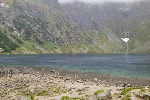
Czarny Staw pod Rysami, the lake above Morskie Oko: 19.1 km, 5 h 54 min from Palenica Białczańska, no chains. Tarmac road, then stone steps above Morskie Oko.
Start: Štrbské Pleso · via Skok waterfall and Mlynická and Furkotská valleys
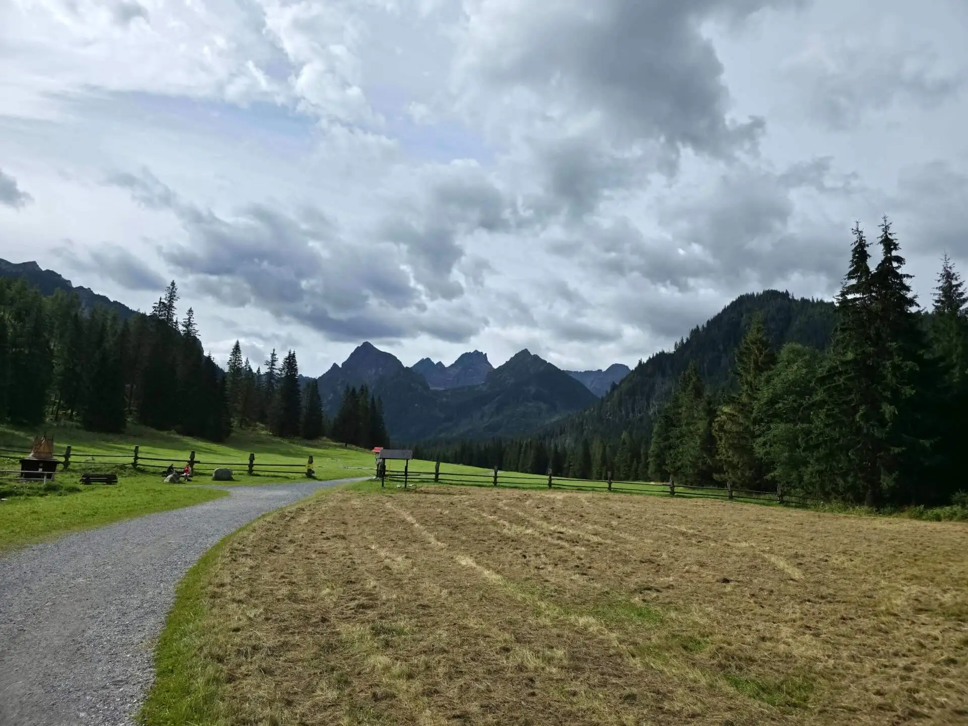
Start: Łysa Polana · via Polana pod Wysoką and Kacza Siklawa
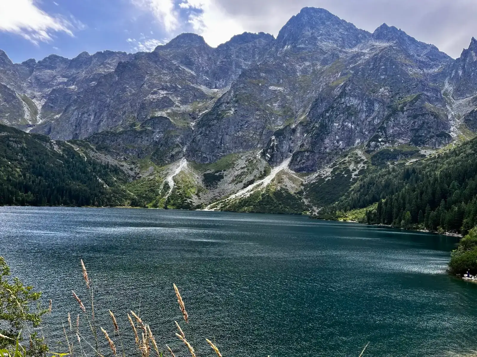
Start: Palenica Białczańska · via “Siklawa Waterfall” and “The highest mountain hut”
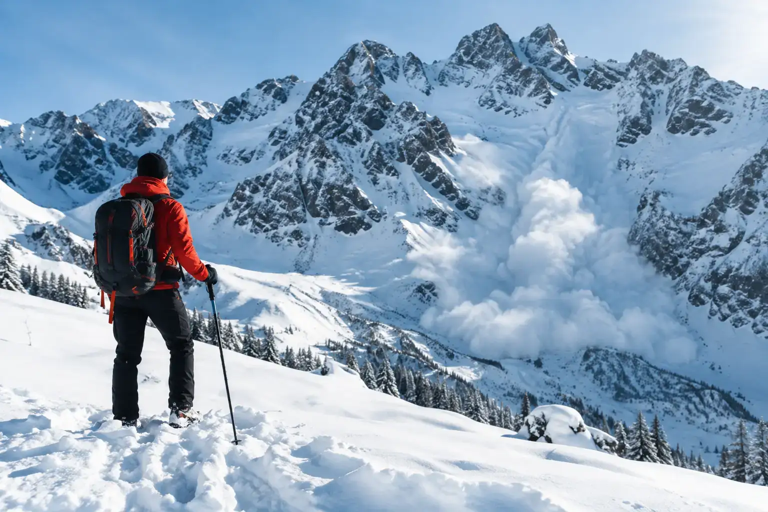
Avalanches in the Tatras do not forgive a rush. Check the bulletin, the weather, the ground and the decisions that help you get back safely from a ski tour or a hike.

See where to go in the Tatras in winter with children, safely: valleys, meadows and places in Slovakia, plus how to pick a route for a family day in good conditions.

Tatra sights with little effort: reliable places, cable cars and short walks when you want to see the mountains without a long hike or extra risk.
These are affiliate links. If you book a stay or a ticket through them, we earn a small commission, for coffee :), at no extra cost to you.