The recommended route is on this page. A different start has its own page — description and map.
Approach variants
Variant
Start
Duration
Chains
Trail color
Łysa Polana – Litworowy StawRecommended
Blue to the meadows, the waterfall and Litworowy and back. No chains. The tiles above show this route.
Łysa Polana
7 h 38 min
No
blue
Polana pod Wysoką only
To the big meadow under Młynarz and back. No Litworowy. Still no chains.
Łysa Polana
4 h 53 min
No
blue
Bielovodská poľana only
The first meadow after 51 min. A stroll. Still no chains.
Łysa Polana
1 h 38 min
No
blue
Recommended
Łysa Polana – Litworowy Staw
Blue to the meadows, the waterfall and Litworowy and back. No chains. The tiles above show this route.
The longer description below is about the recommended variant.
🗺️
Map and trail profile
Łysa Polana – Litworowy Staw
📈
Route elevation profile
Approach and elevation graph generated from GPX track. Hover or drag across the chart to inspect the profile and culmination points.
GPX · 24.49 km
🏔️Culmination point
1,871m a.s.l.
at 12.1 km
⬇️Lowest point
970m a.s.l.
⬆️Elevation gain
+1,117m
↘️Elevation loss
-1,116m
📏Profile distance
24.49km
📍m a.s.l.
Distance: km
From start:
🧭
GPX track for navigation
Upload this route to your GPS watch (Garmin, Coros, Suunto, Apple Watch) or navigation app (Mapy.cz, Komoot, Locus Map, Strava) for offline navigation without cellular service.
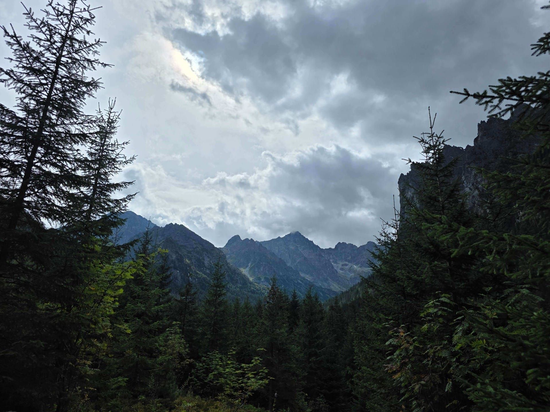
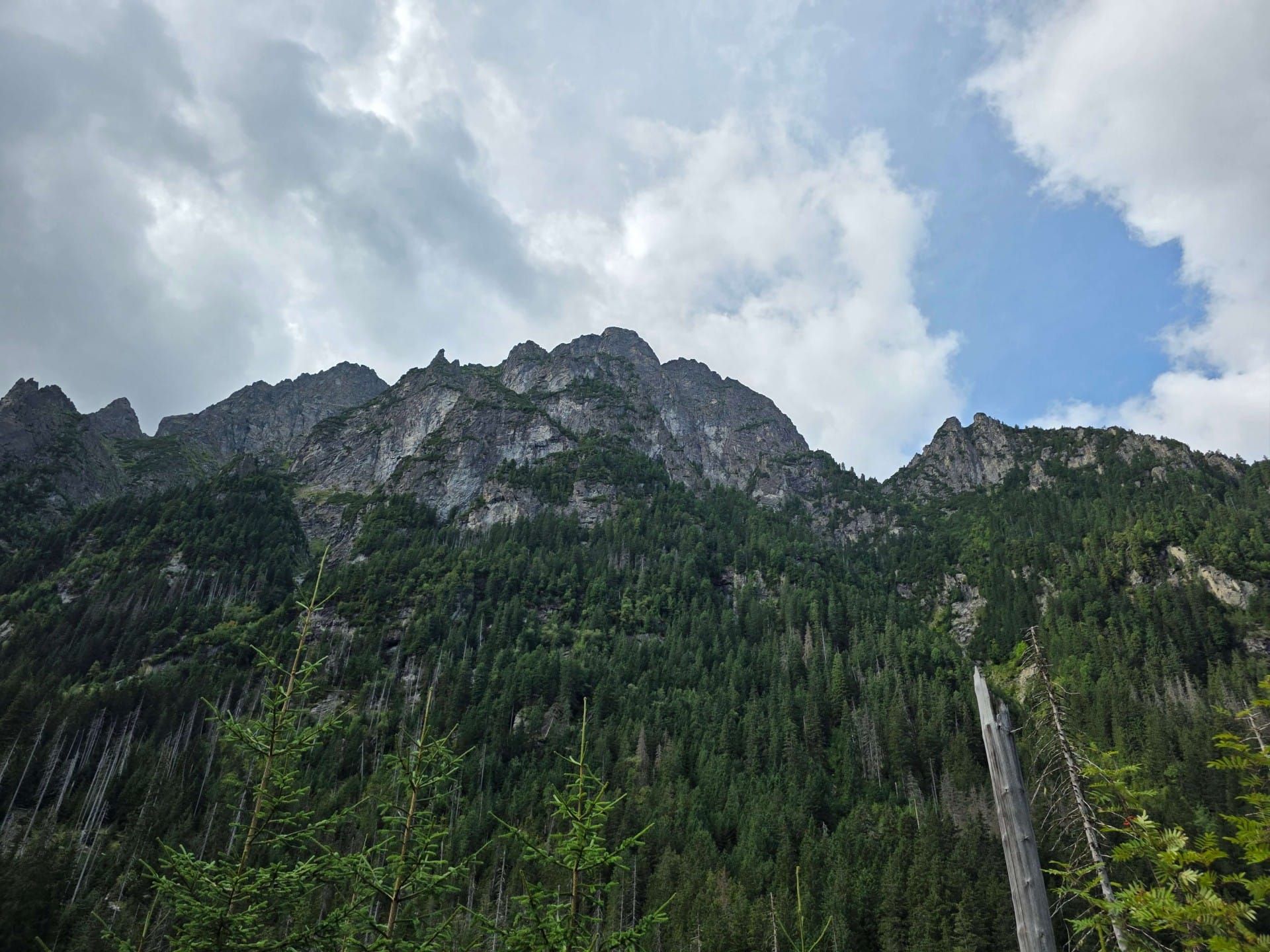
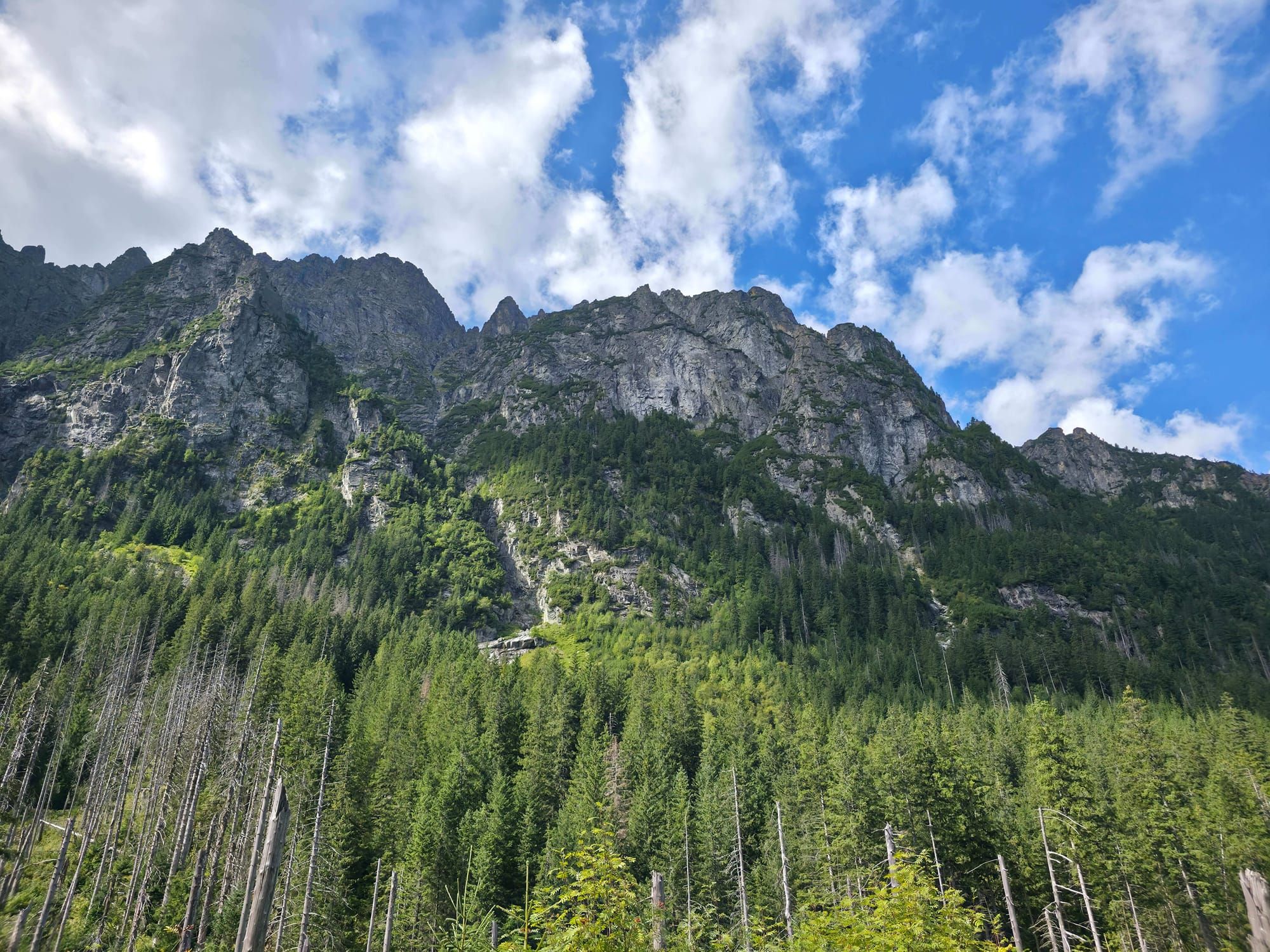
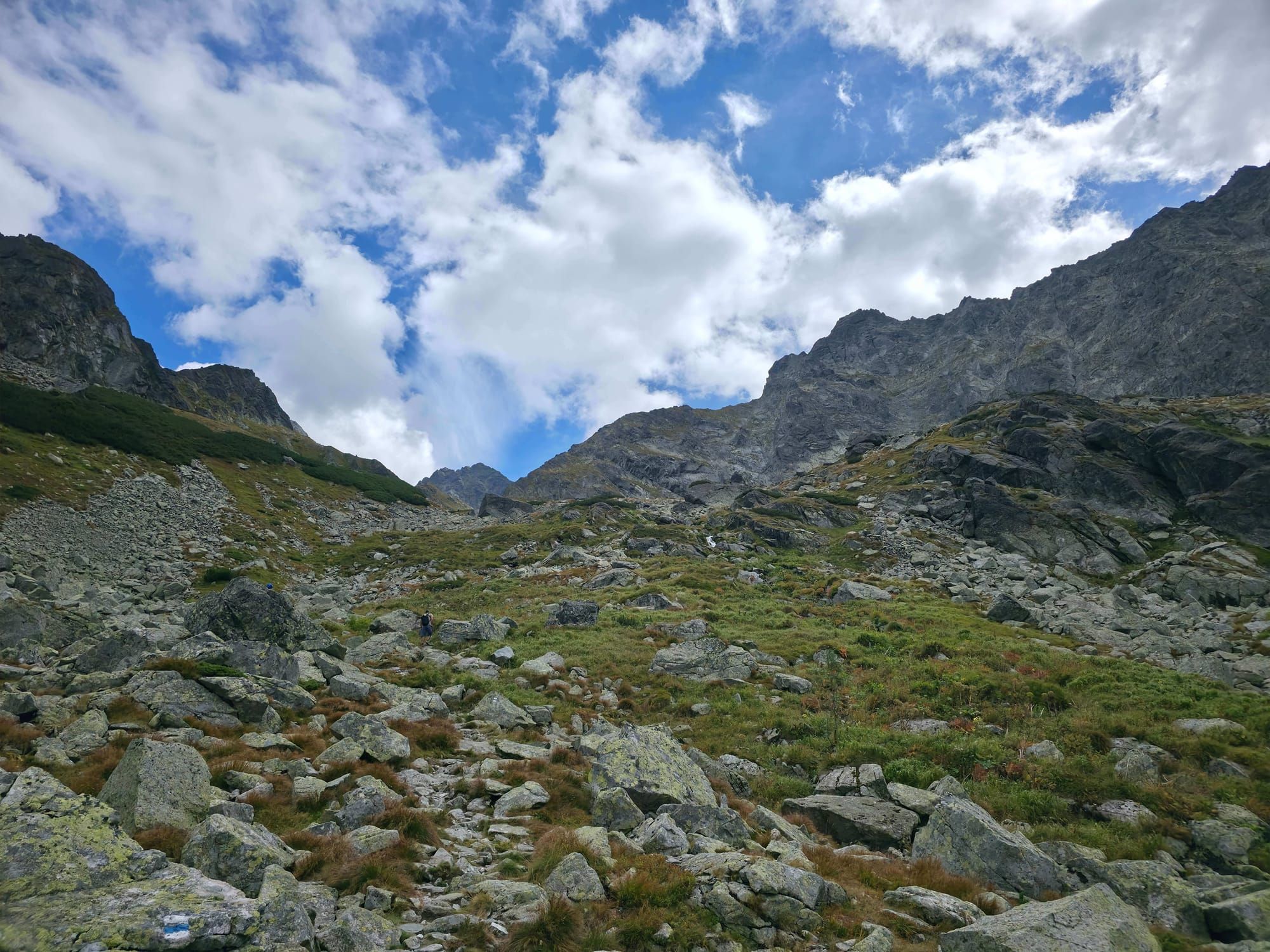
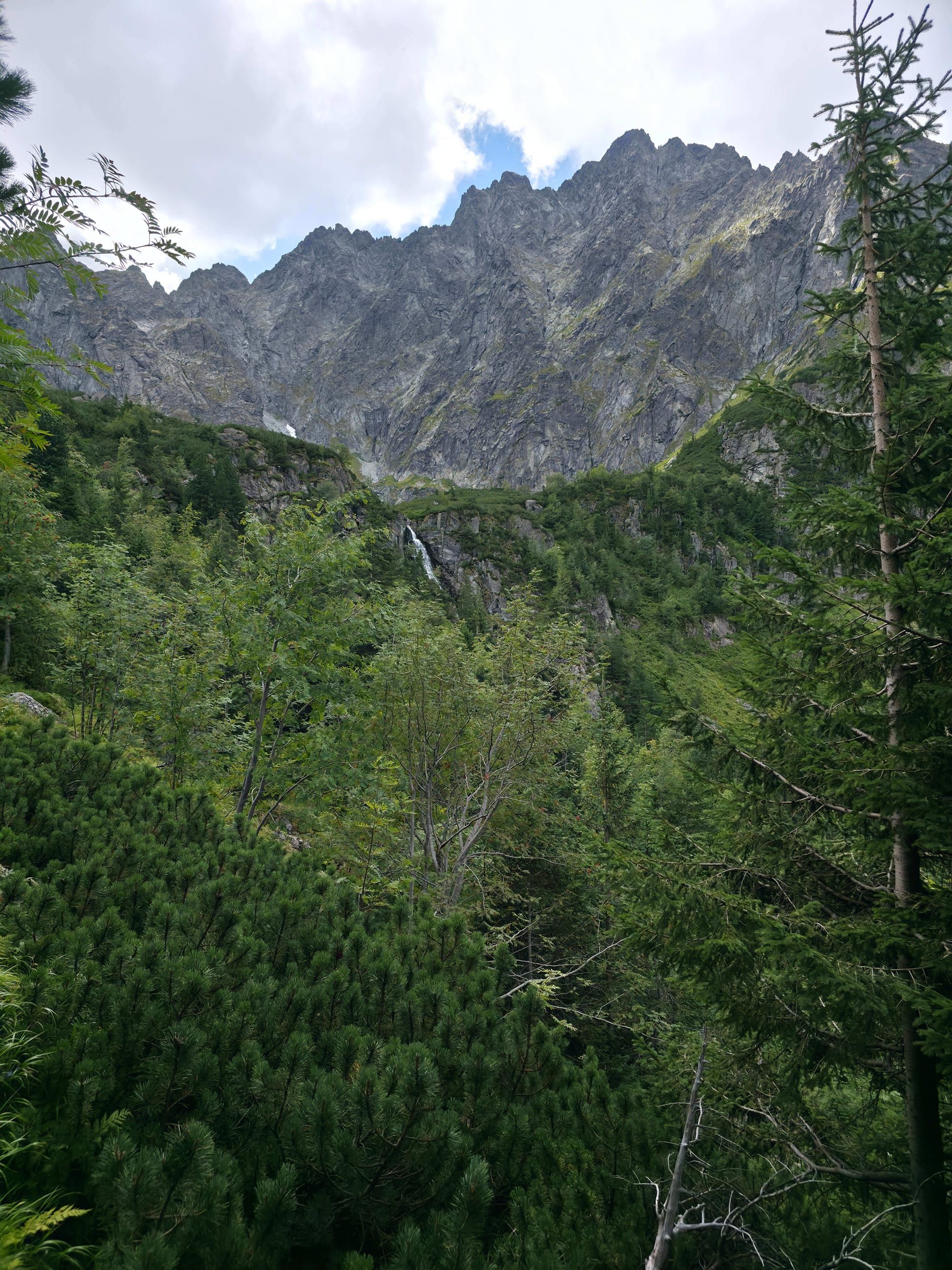
Biela voda Valley (Slovak: Bielovodská dolina) is the longest and probably the wildest valley in the entire Tatras. It starts right at the Polish-Slovak border (at Łysa Polana) and cuts deep into the High Tatras massif, leading right to the foot of the highest peaks, including Gerlach and Rysy.
💡 In a nutshell – Biela voda Valley:
Peace and quiet: Right next to the crowds heading to Morskie Oko, on the Slovak side you will find a wild, empty valley.
Long distance: The full route to Litworowy Staw is almost 25 km and nearly 8 hours of walking.
No huts: There is not a single cafe or mountain hut in the entire valley. You must carry your provisions and water with you.
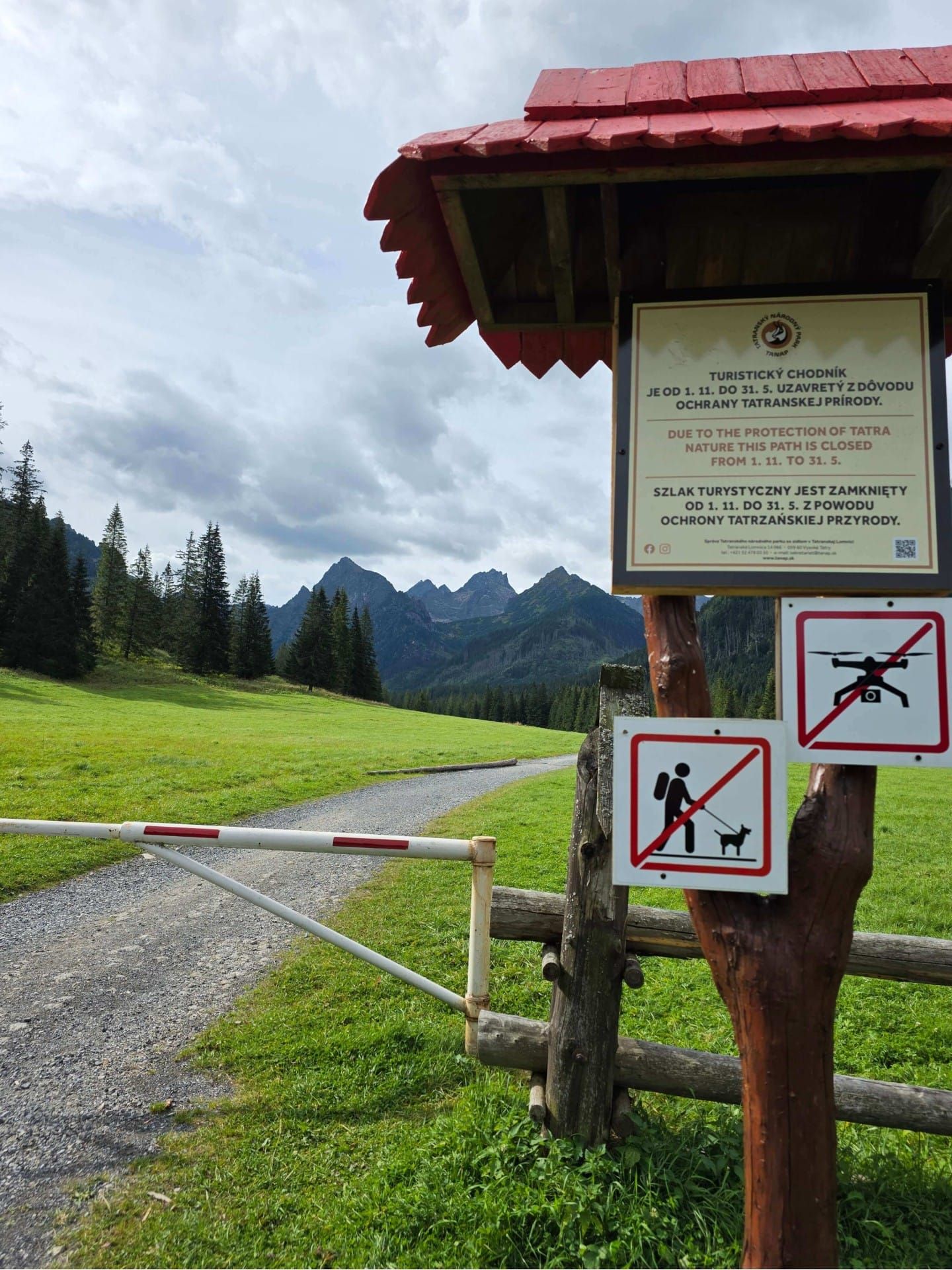
Winter closure: The upper part of the valley (above Polana pod Wysoką) is closed from 1 November to 31 May. Remember your insurance!
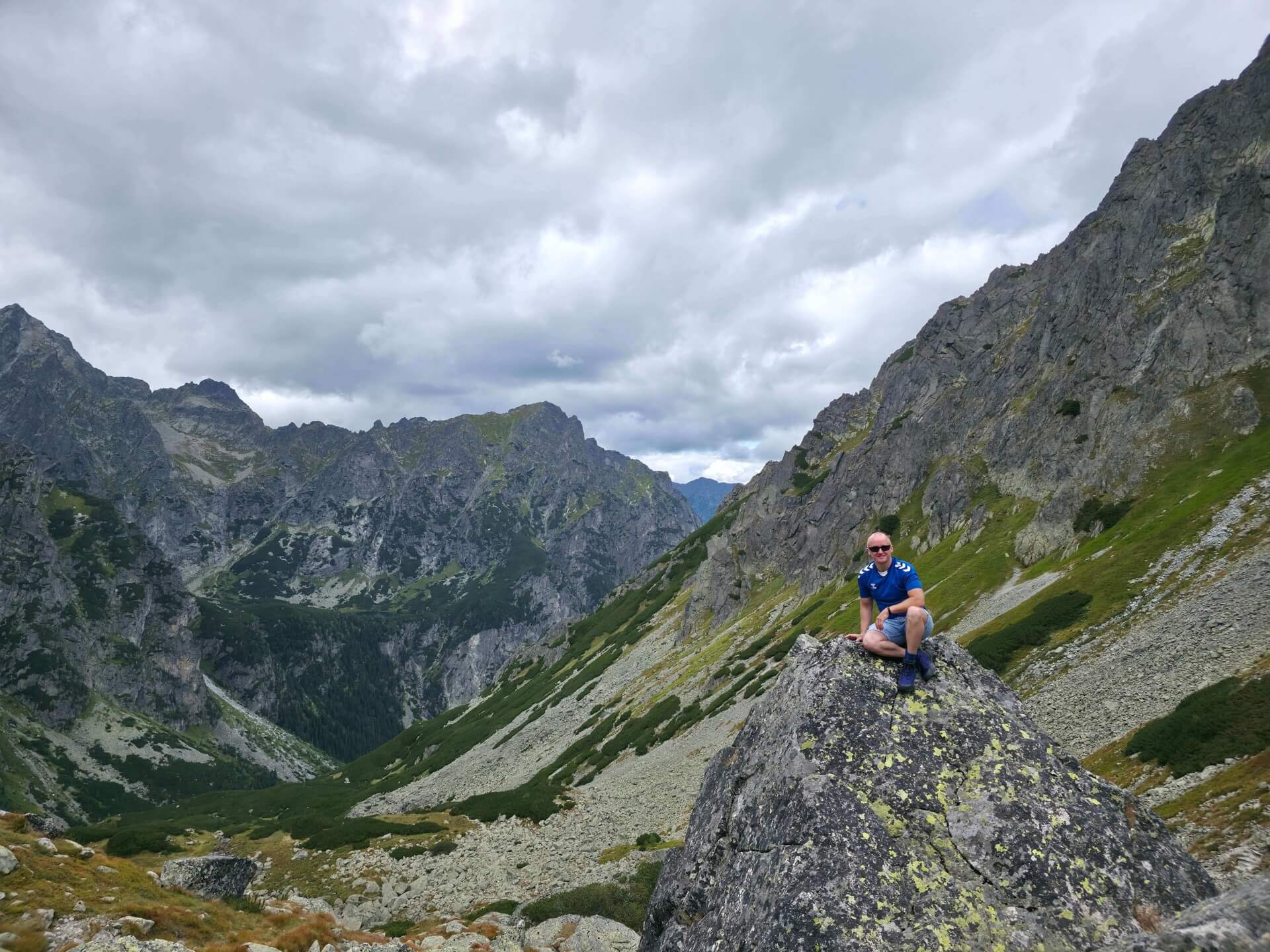
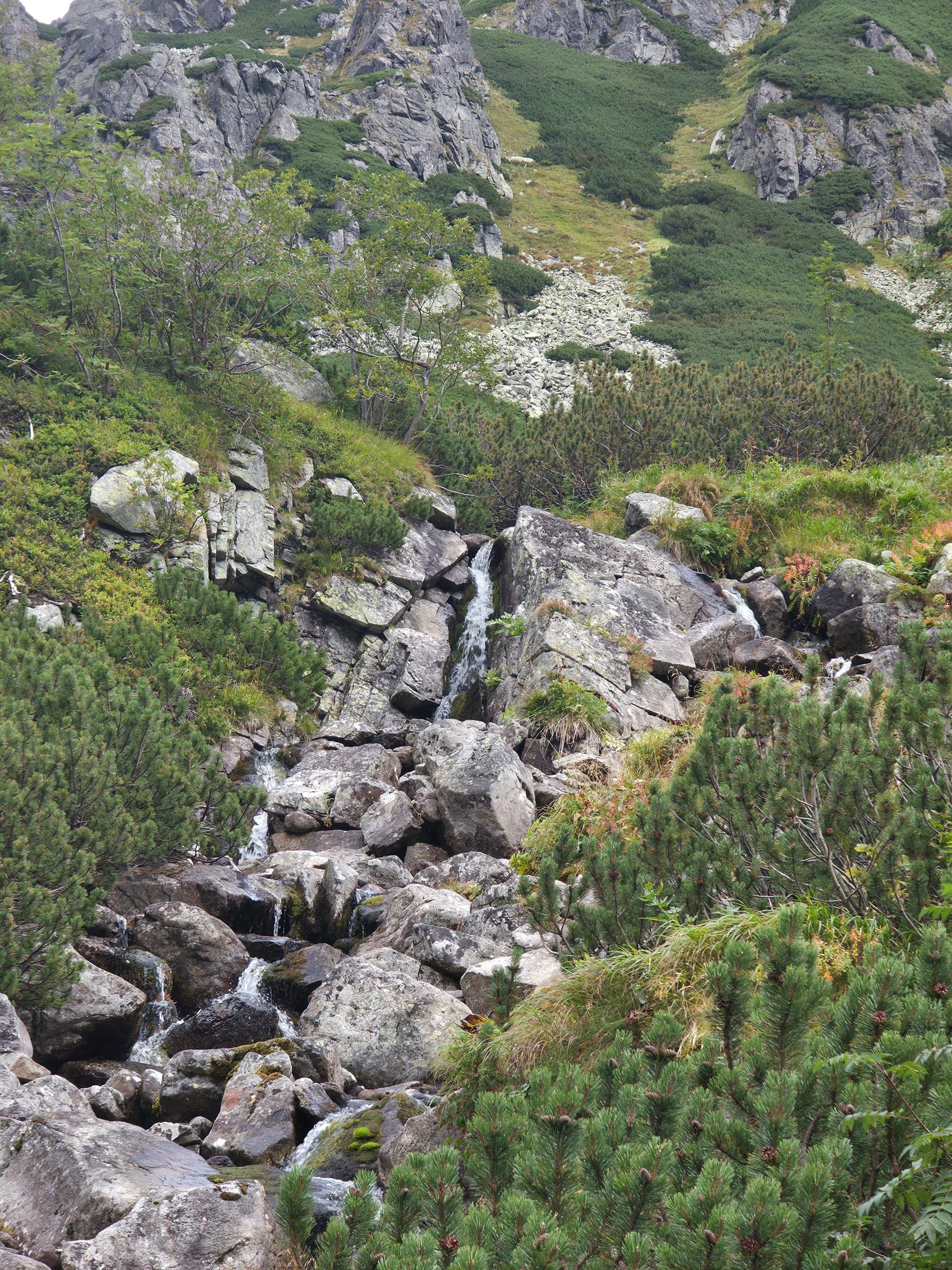
While crowds of tourists march along the tarmac to Morskie Oko, you can cross over to the Slovak side and enjoy absolute silence, the murmur of the stream and views that become increasingly alpine with every kilometre. There are no chains here, but the distance can tire you out.
Trail description: Deep into the wild Tatras
The tiles above show the full route along the valley floor all the way to Litworowy Staw and back. It is a trip of almost 25 kilometres!
Stage 1: A walk along the Białka
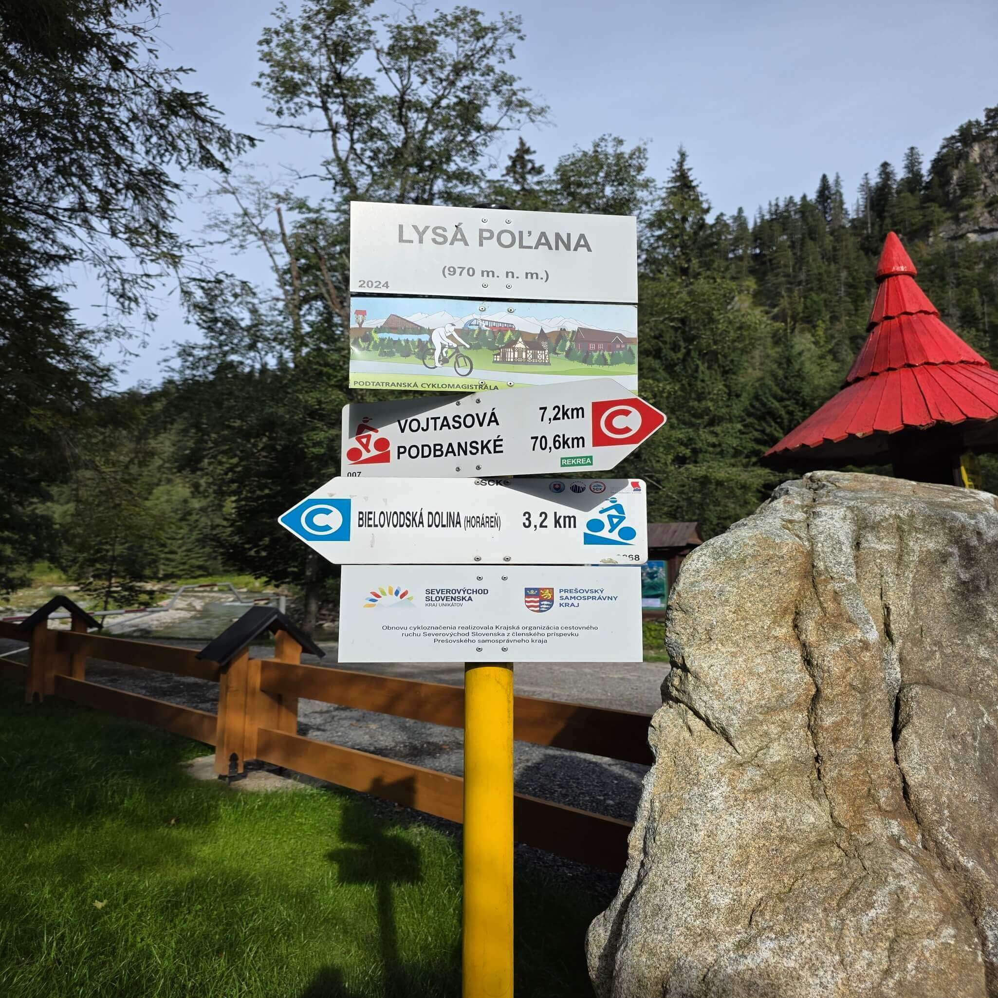
We start from the car park at Łysa Polana (on the Slovak side) and join the blue trail.
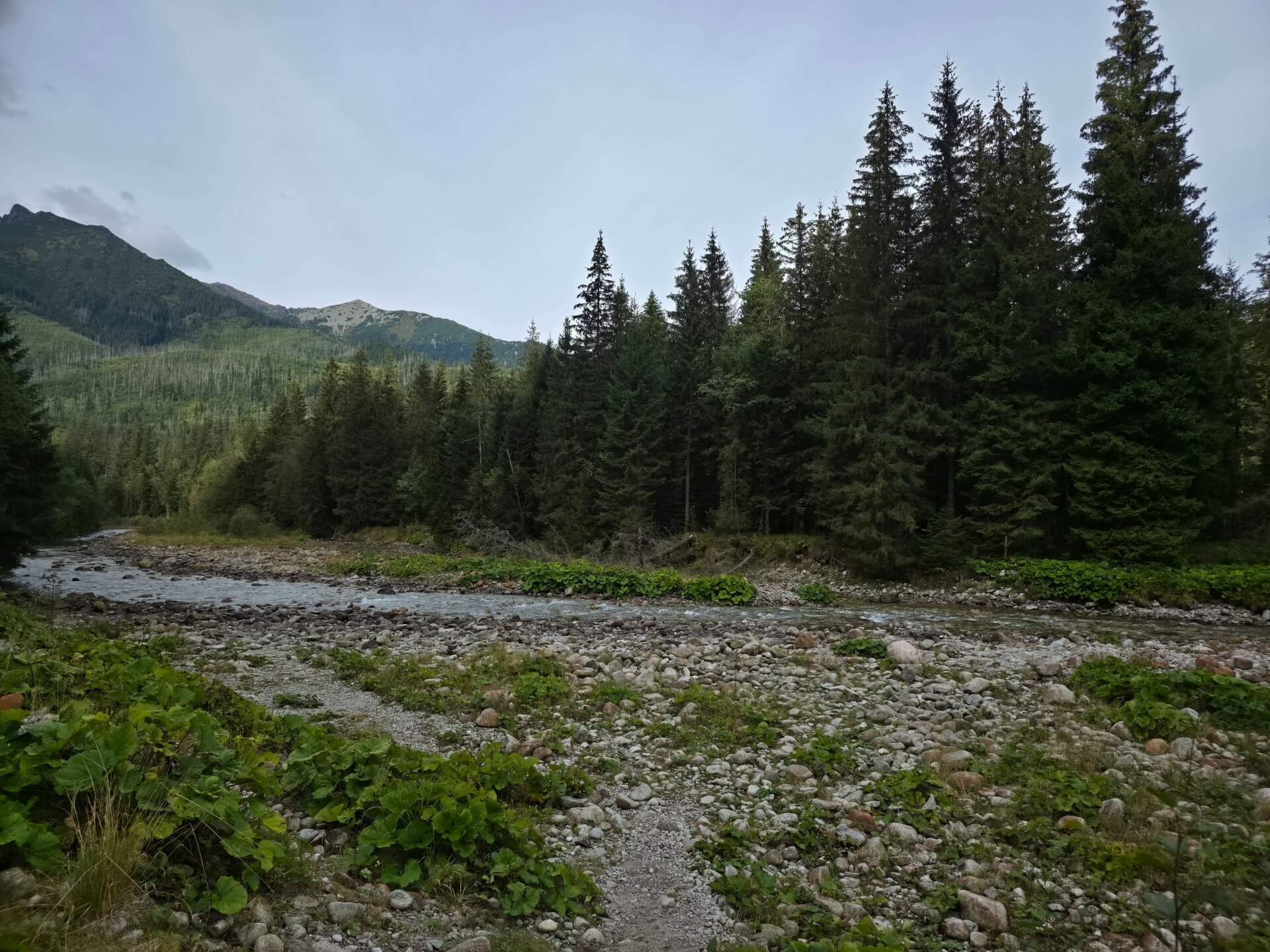
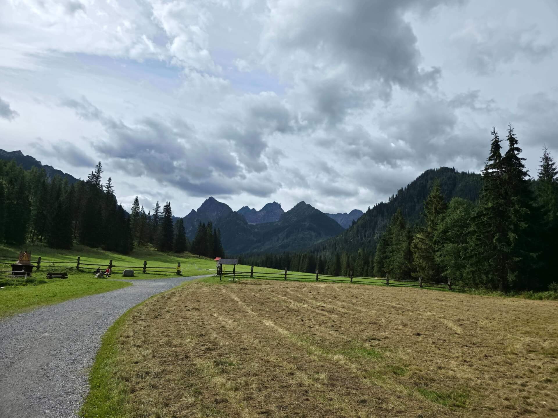
Initially we walk along a wide forest road along the Białka river (which forms the state border here).
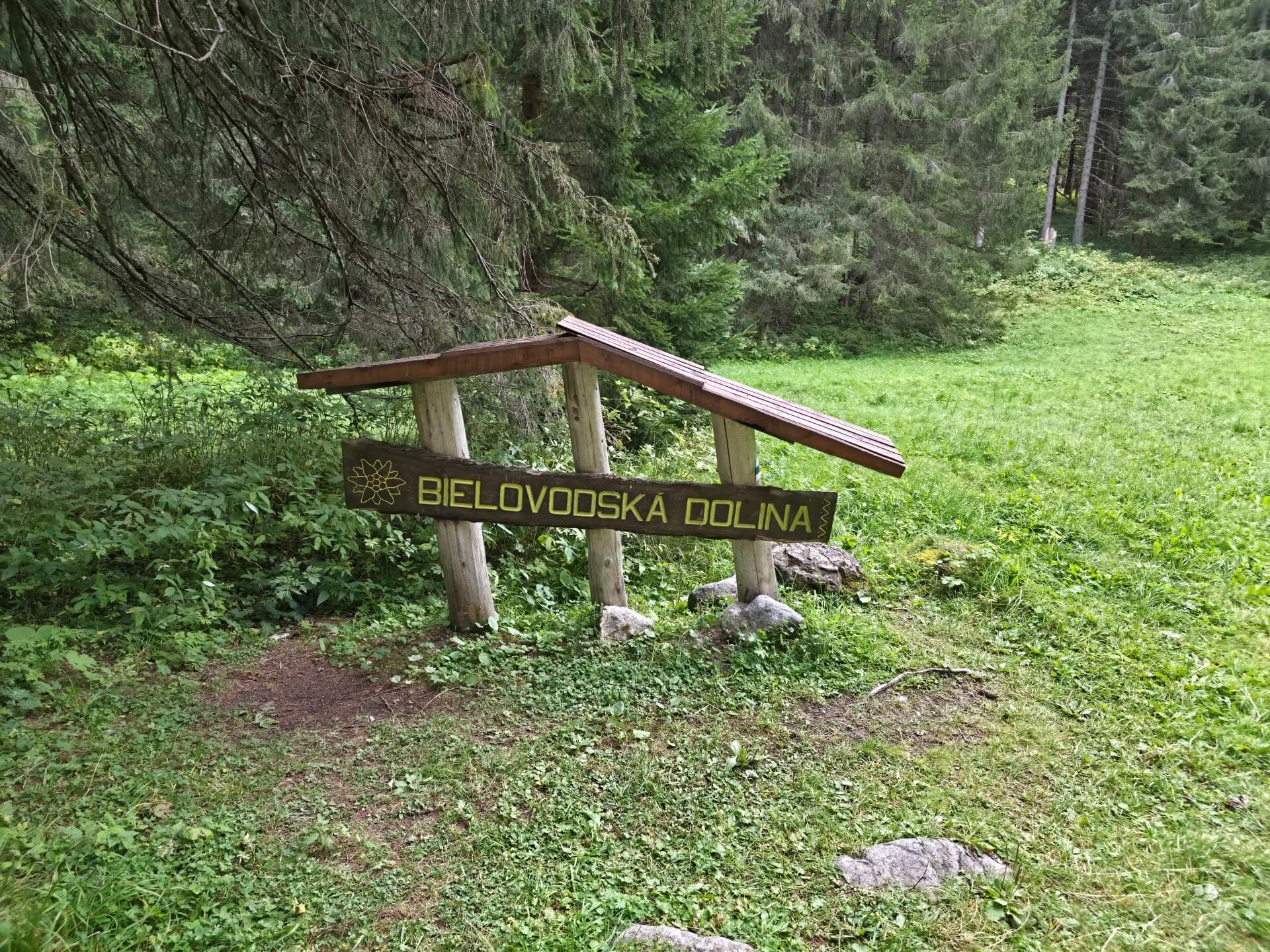
After less than an hour we reach the first large clearing – Bielovodská poľana. This is a good place for a walk with a pushchair (further on the road becomes too stony).
Stage 2: Polana pod Wysoką
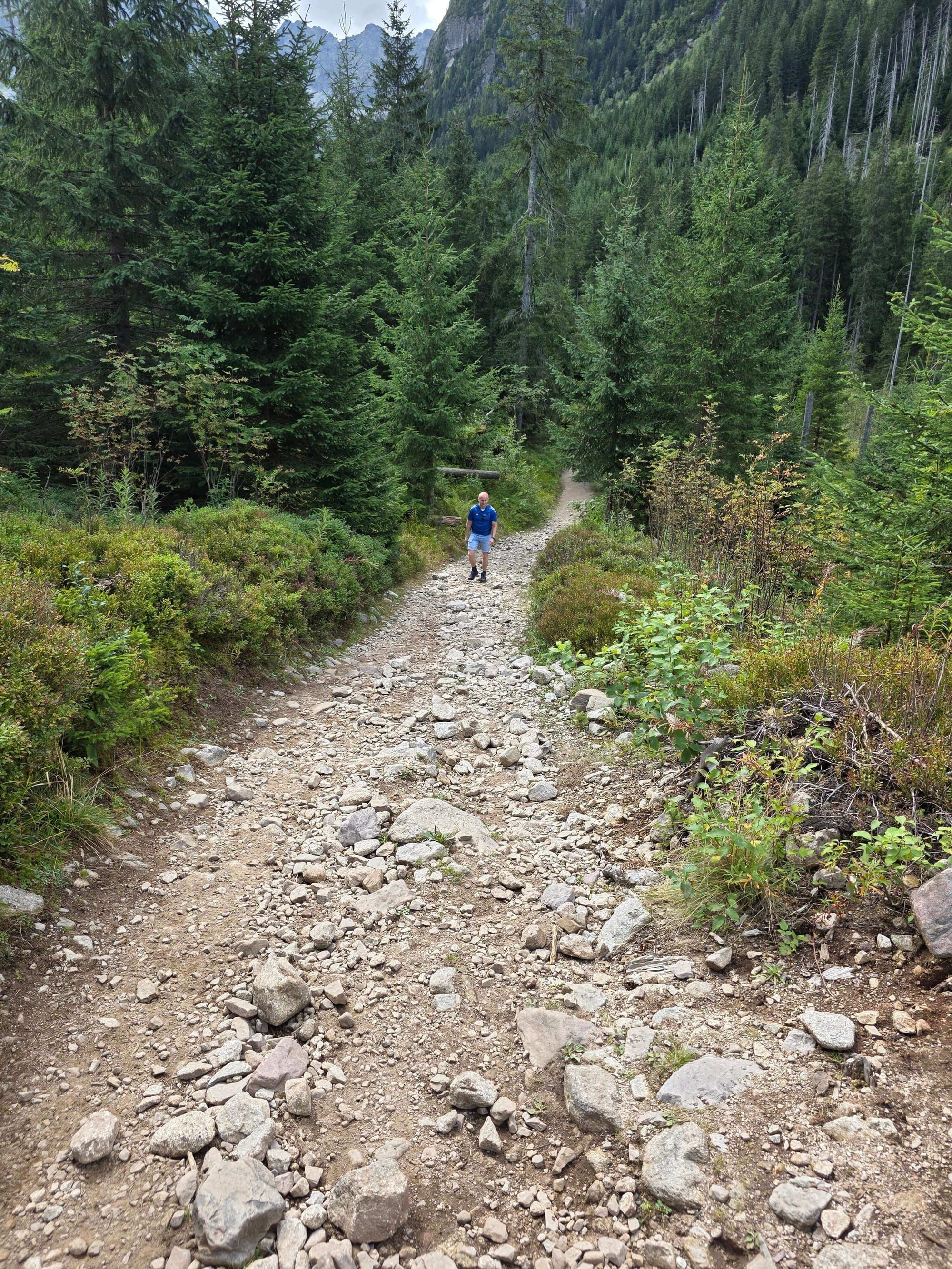
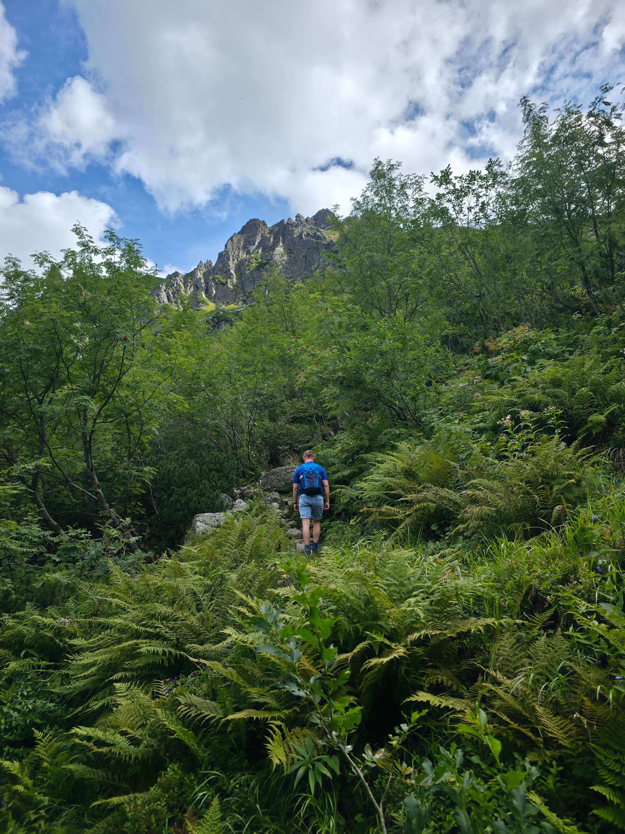
The trail delves into the forest and slowly climbs upwards.
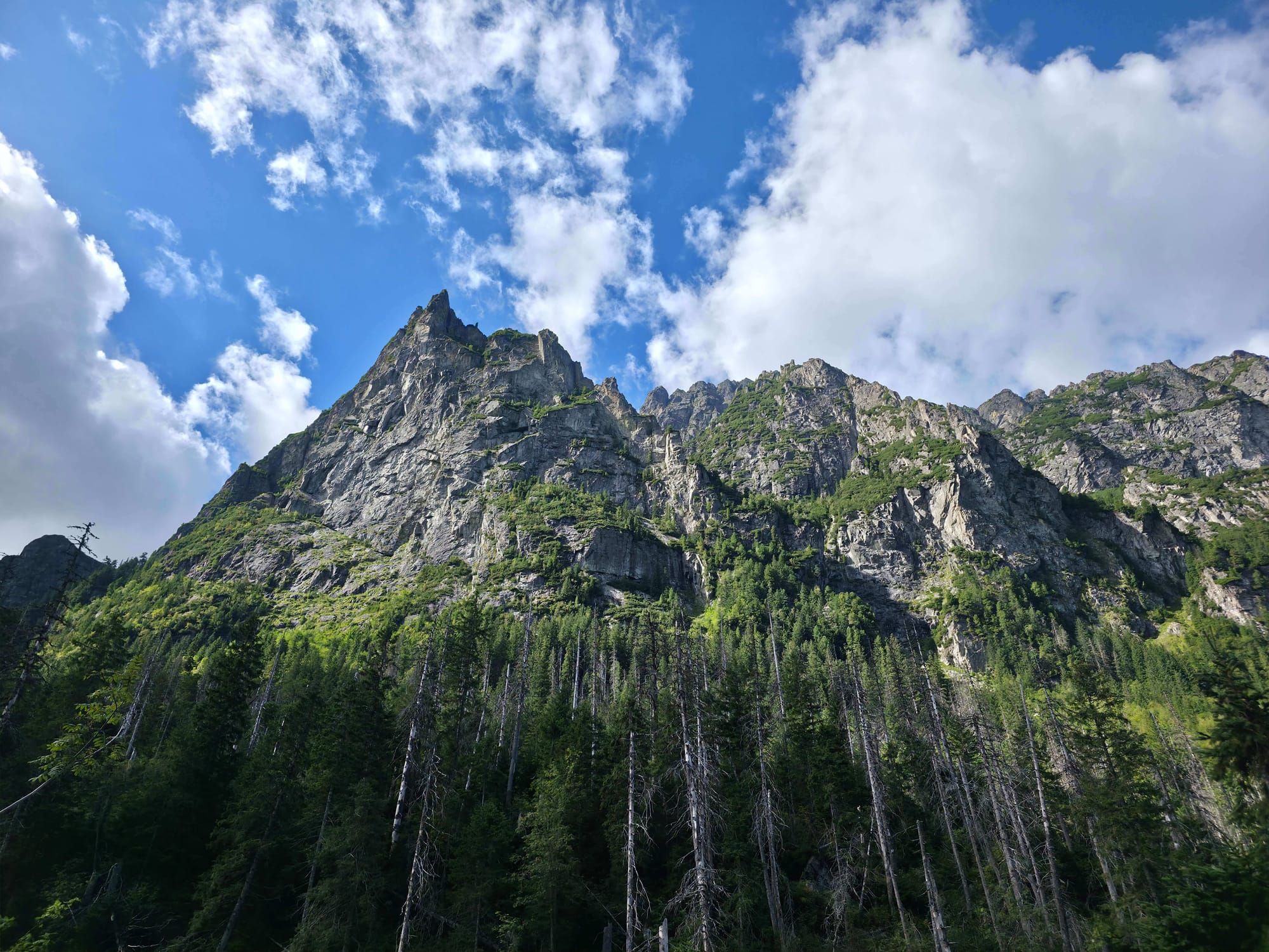
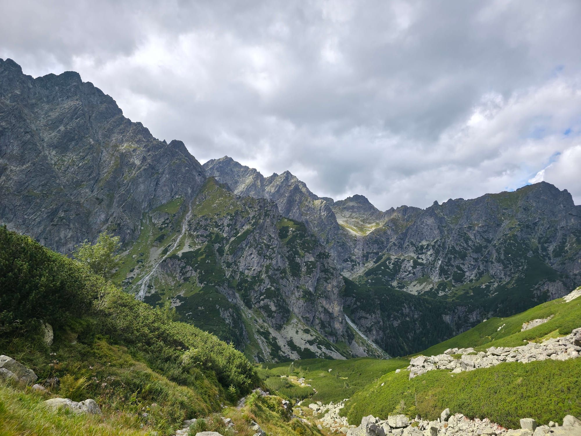
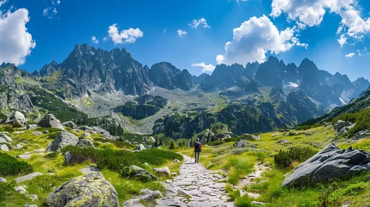
After about 2.5 hours from the start we emerge onto Polana pod Wysoką. The view from here is insane! In front of us tower the vertical walls of Młynarz and Ciężka Turnia. This is an ideal place for a longer picnic.
Stage 3: Climbing the rock steps
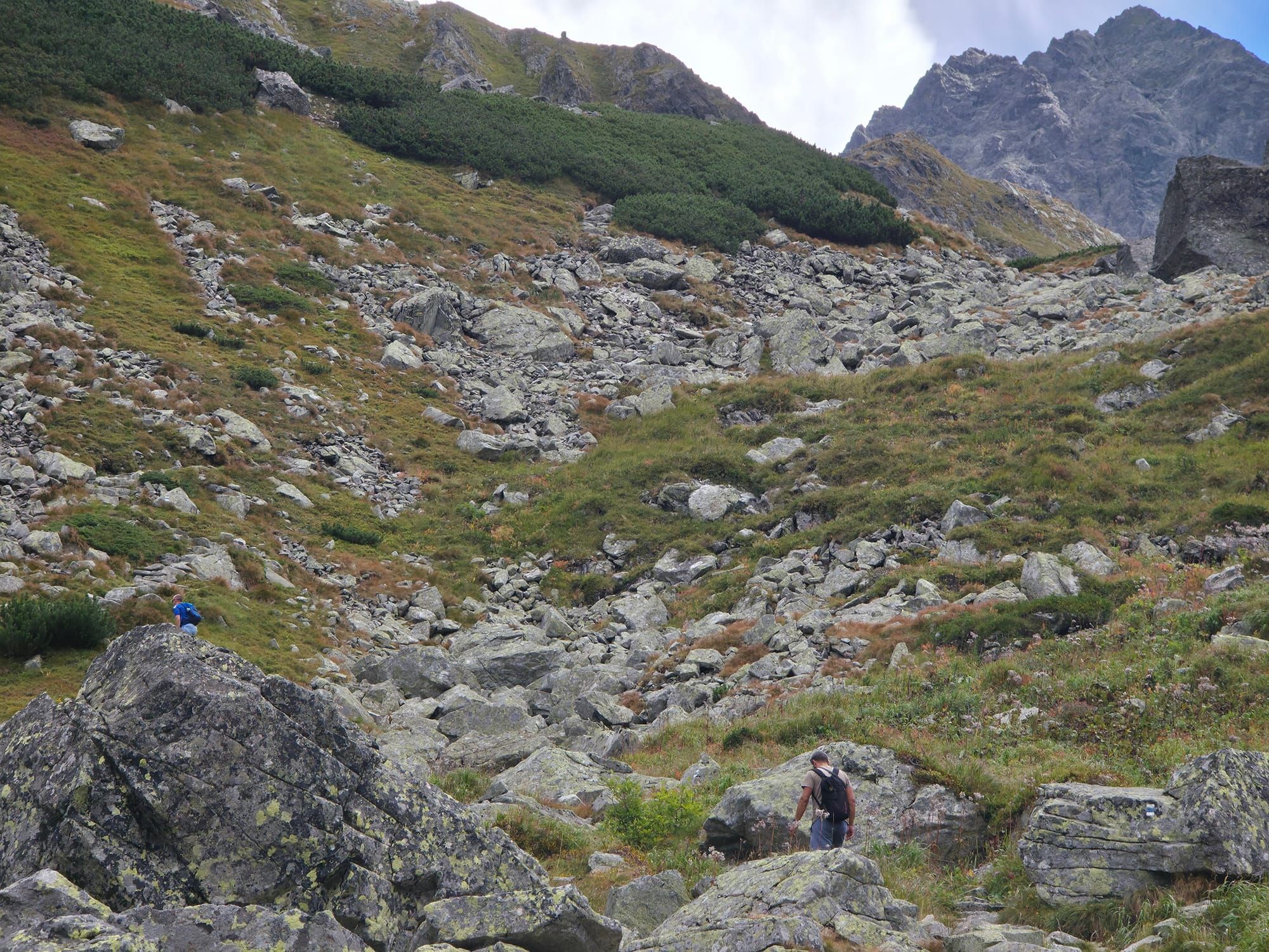
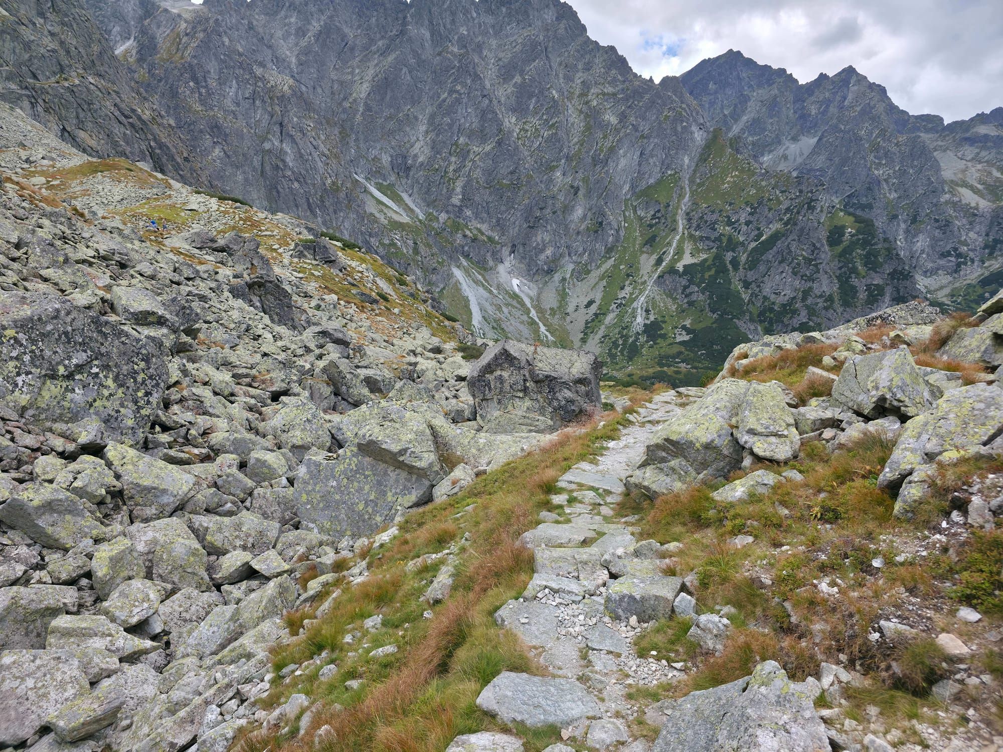
Beyond Polana pod Wysoką the stroll ends and a real mountain hike begins.
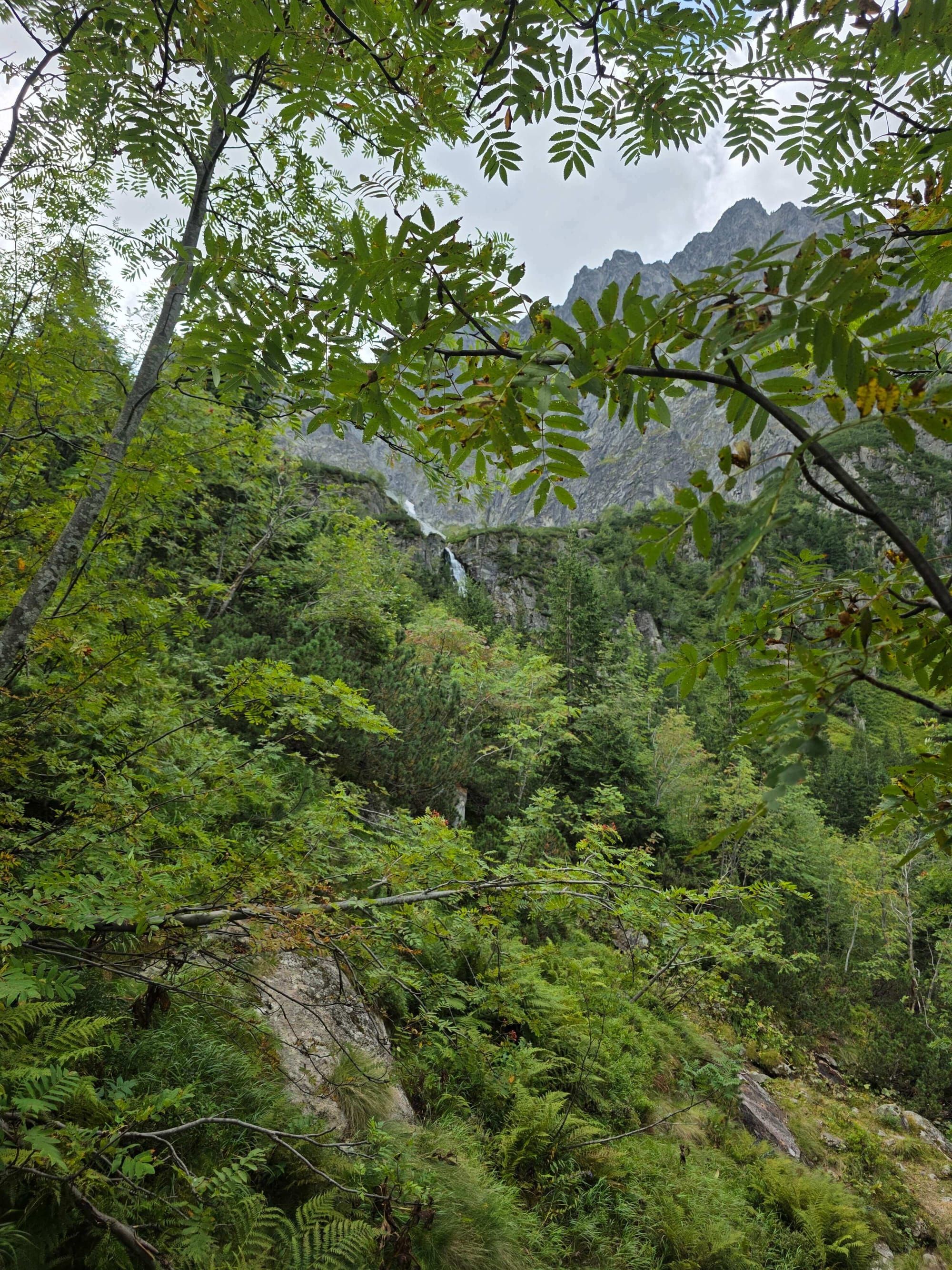
The path climbs steeply up stone steps, crossing glacial thresholds.
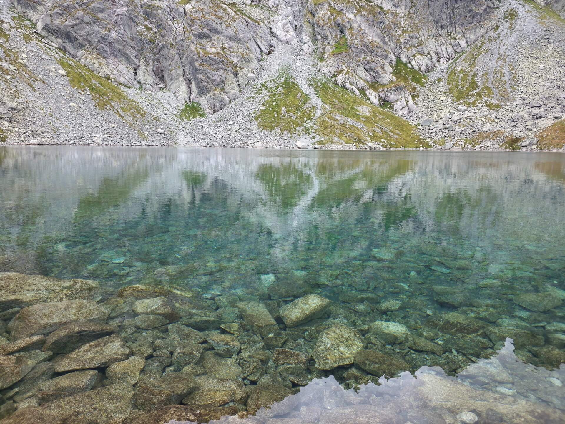
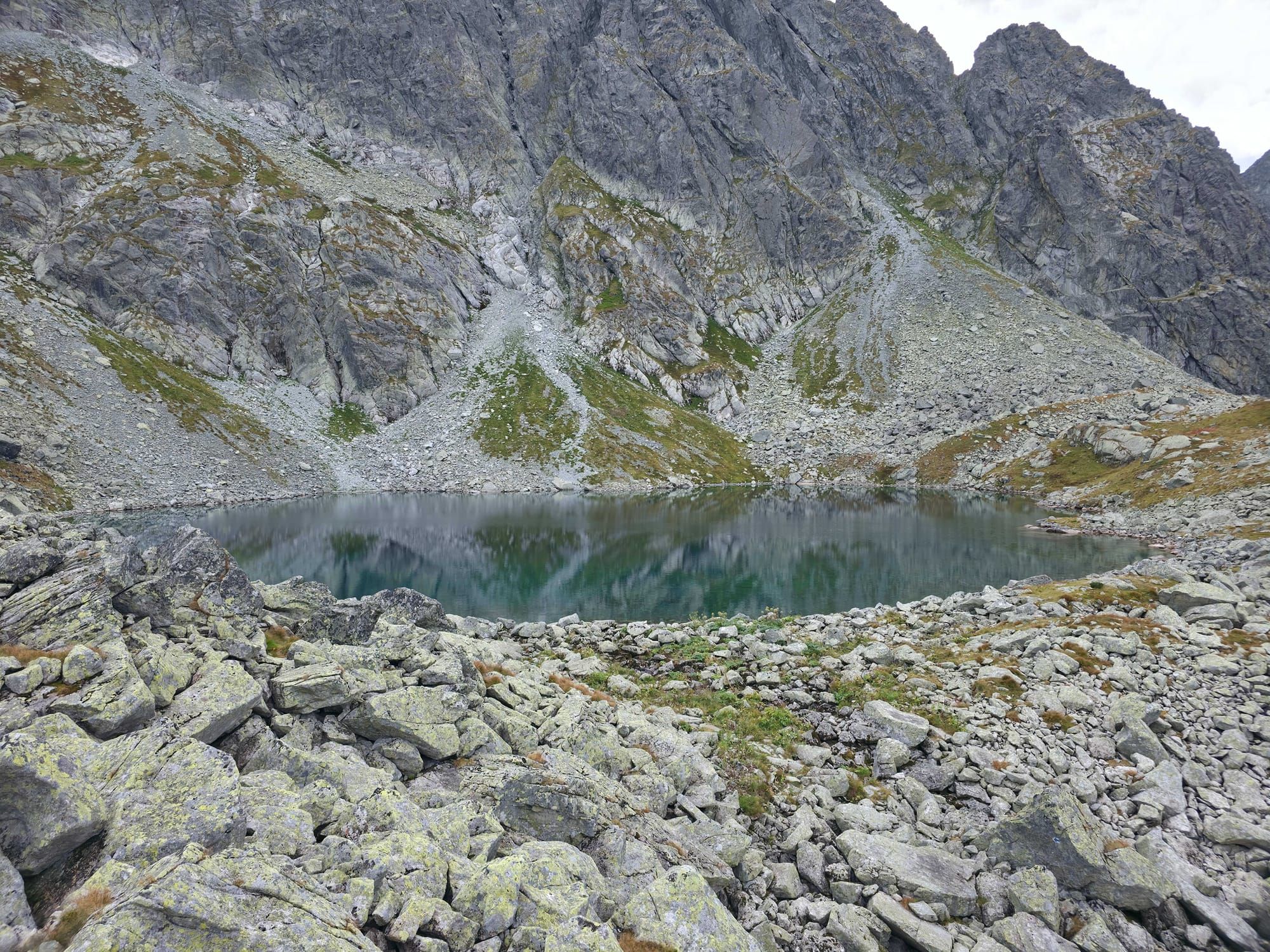
After over 4 hours of walking we reach our destination: Litworowy Staw (1,864 m a.s.l.). We are in the heart of the high-mountain landscape.
We return exactly the same way (blue trail) to Łysa Polana.
Logistics and warnings
Trail closure: The upper part of the valley (above Polana pod Wysoką) is closed from 1 November to 31 May due to nature protection and avalanche danger.
Insurance: You are in Slovakia. The rescue operations of Horská služba are payable. Always buy insurance before going into the mountains.
No huts: There is not a single mountain hut or cafe in the entire Biela voda Valley. You must carry all your provisions and water in your backpack.
Who is this absolutely NOT for?
Do not go here if you are looking for a short walk – getting to Litworowy Staw and back is a slog of almost 8 hours. Do not take a pushchair above the first clearing. If you care about a hut and apple pie, cross the bridge to the Polish side and go to Morskie Oko.
The Valley of the Five Polish Lakes is the very heart of the High Tatras. It is a rugged, rocky and breathtaking place, quite unlike the forested valleys to the west. Here you will find Poland’s highest waterfall, deepest lakes and highest-altitude mountain hut.


 2026-06-28
 2026-10-05
 2026-10-02
 2026-10-10
 2026-10-09
 2026-10-08
 2026-10-07
 2026-10-06
 2026-10-04