Difficulty: EasyHigh Tatras (Vysoké Tatry)
Popradské pleso and the Symbolic Cemetery
Start: Popradské Pleso, TEŽ stop · via Popradské pleso and Symbolic Cemetery under Ostrva
- 3:00 h
- Time
- 9.6 km
- Distance
- +280 m
- Ascent
1403 m a.s.l. · trail red · start: Palenica Białczańska
No reported closures or obstacles on this trail according to the official TPN bulletin (20 października 2026).
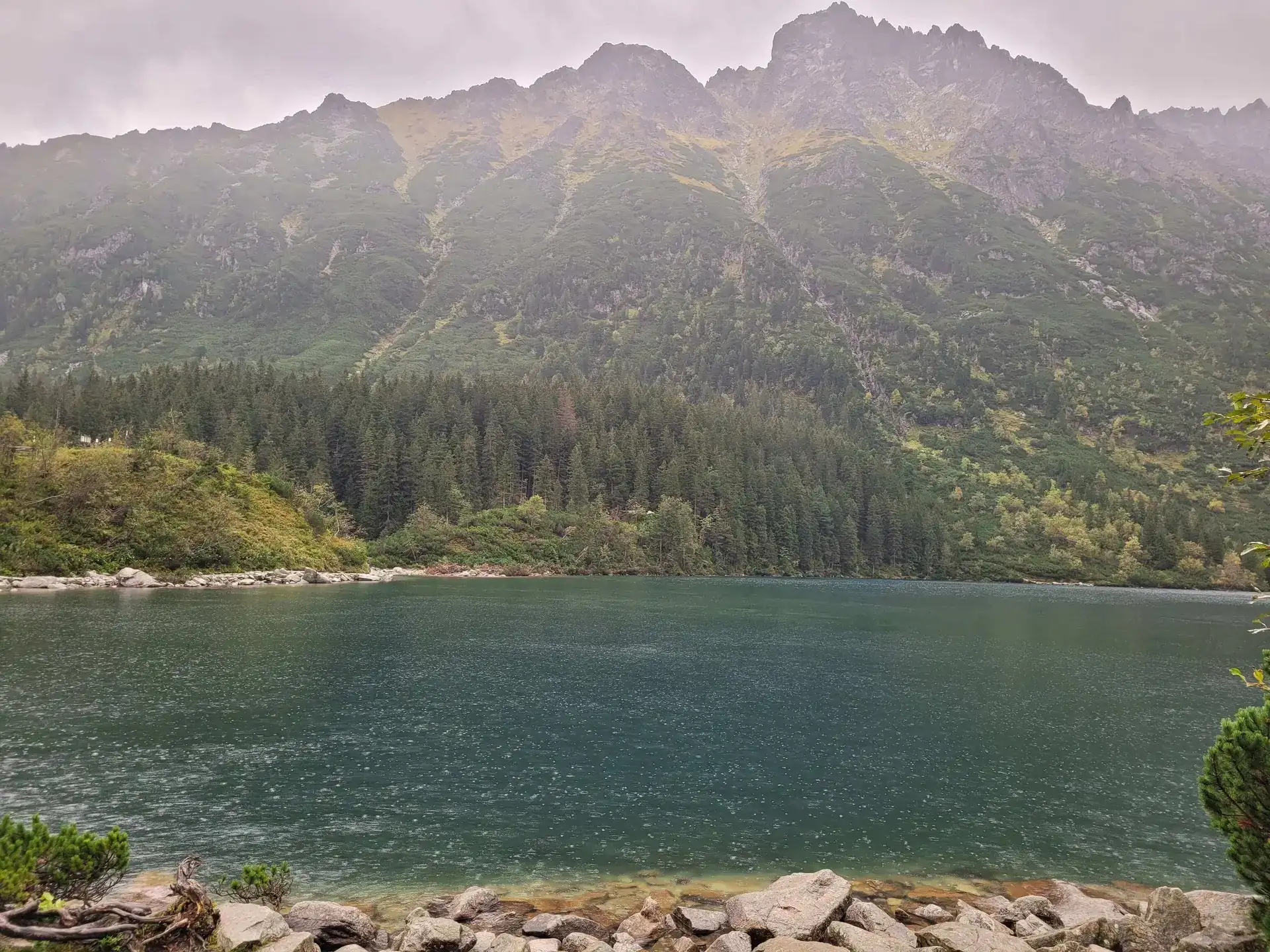
PolecanyPalenica – Morskie Oko
Czas i dystans dla całej wycieczki, z powrotem do startu.
Tempo
4 h 14 minSzacunek od czasu z opisu, bez kolejek i postojów.
Polecany jest na tej stronie. Inny start ma osobną kartę — własny opis i mapę.
| Wariant | Start | Czas przejścia | Łańcuchy | Kolor szlaku |
|---|---|---|---|---|
Palenica – Morskie OkoPolecany Tarmac or forest shortcuts, circuit of the lake. No chains. The figures at the top of the page show this loop. | Palenica Białczańska | 4 h 14 min | Nie |
|
With Czarny Staw pod Rysami The same plus steps up to the second lake. Still no chains. Separate page: Czarny Staw pod Rysami. Zobacz ten szlak → | Palenica Białczańska | 5 h 54 min | Nie |
|
Polecany
Palenica – Morskie Oko
Tarmac or forest shortcuts, circuit of the lake. No chains. The figures at the top of the page show this loop.
Palenica – Morskie Oko
Wykres podejść wygenerowany ze śladu GPX. Przesuń kursor lub palec po wykresie, aby sprawdzić profil podejścia i punkty kulminacyjne.
Wgraj trasę do zegarka sportowego (Garmin, Coros, Suunto, Apple Watch) lub aplikacji nawigacyjnej (Mapy.cz, Komoot, Locus Map, Strava) i nawiguj po szlaku w trybie offline bez zasięgu.
Morskie Oko (1,403 m above sea level) is an absolute legend. It is the most famous, largest, and, in the opinion of many, the most beautiful lake in the Tatras. Situated deep in the Rybi Potok Valley, it is surrounded by a massive wall of the highest peaks in Poland, led by Rysy and the distinctive, needle-like silhouette of Mnich.
💡 In a nutshell – Morskie Oko:
- Long tarmac: The route is technically trivial, but it’s a 15-16 km round trip on a hard surface.
- E-ticket only: You cannot enter the Palenica Białczańska car park without a ticket bought in advance online on the TPN website.
- Pushchair friendly: The entire route to the hut can be done with a pushchair (by staying on the tarmac and avoiding forest shortcuts).
- Winter warnings: The tarmac can be very icy (take microspikes), and there are avalanche-prone areas on the route (e.g. Żleb Żandarmerii).
It is an iconic place that attracts real crowds of tourists. To fully appreciate its magic and not return feeling disappointed, you must plan your trip well. The route is technically trivial (we walk on asphalt), but in terms of distance, it is still a solid stretch of road.
We start the hike at the car park in Palenica Białczańska. The red trail follows the famous “Oswald Balzer Road”.
The beginning is a gentle walk along wide asphalt. Along the way, we pass viewpoints overlooking the Białka Valley and the peaks of the Belianske Tatras. About halfway along the route, we reach Wodogrzmoty Mickiewicza – powerful, loud cascades on the Roztoka stream. This is a good place for a first rest (there are toilets and benches here).
Beyond Wodogrzmoty, the road begins to climb, forming long zigzags.
About 1.5 km before the destination, we pass the Włosienica clearing (this is where the horse transport ends and there is a food pavilion). From here, it is just a short, flat walk to the mountain hut.
When you finally get there, do not end your trip on the crowded terrace of the mountain hut!
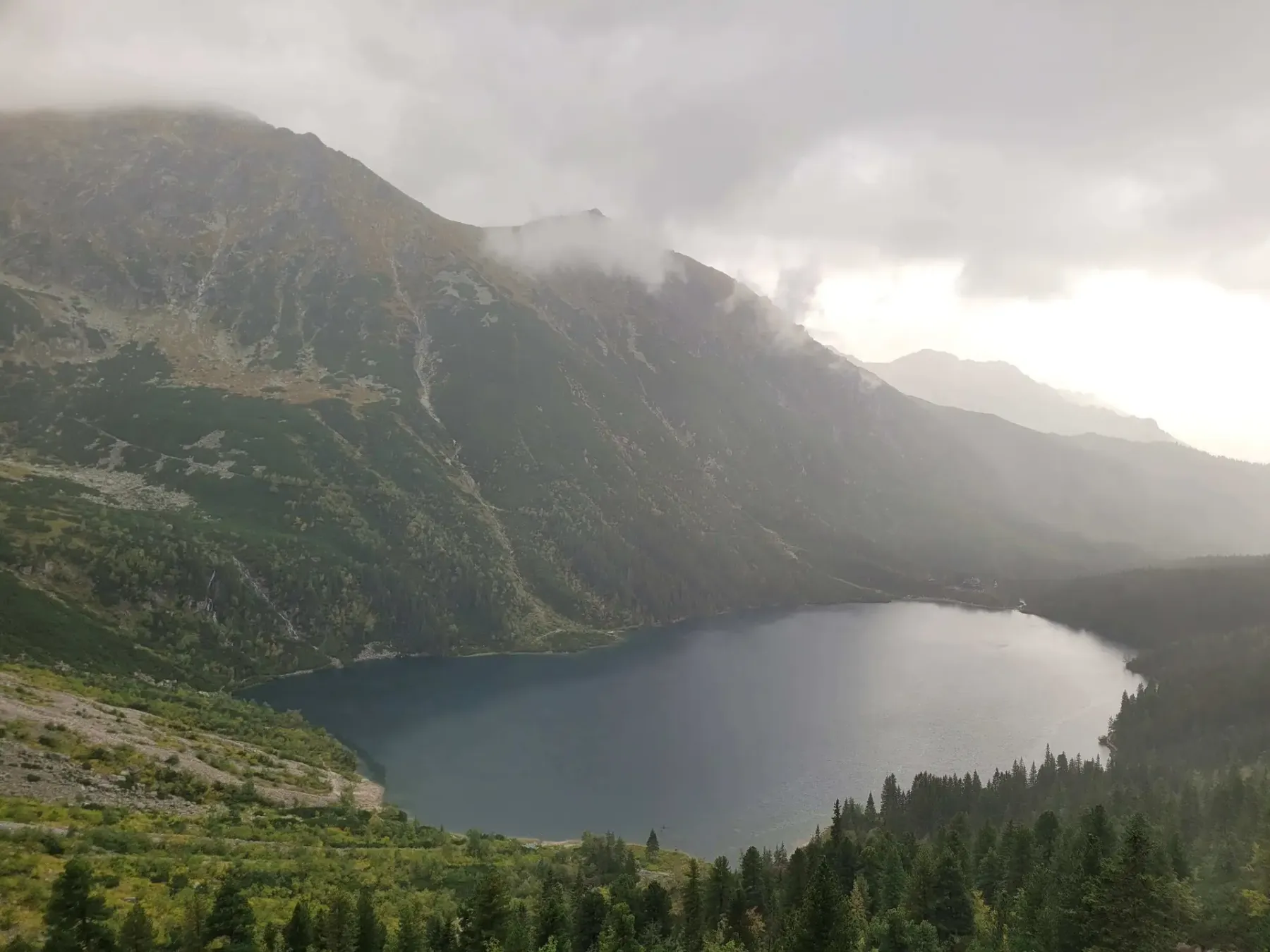
The whole trip from Palenica to Czarny Staw and back is already 7–8 hours with breaks. This is not a “short stroll to the lake after dinner”.
Technically, it is an ordinary walk. In terms of fitness, however, it is a 15-kilometre march up and down, often in full sun and among horse carriages. If someone hates walking on asphalt for 4 hours, the argument that “there are no chains” will not comfort them. You can manage with a small child in a pushchair, but plan more time, take plenty of water, and be prepared to return in the same noise.
In winter, the asphalt can be very icy. Microspikes in your backpack are essential from November. Avalanches from Żleb Żandarmerii are not a legend — never ignore the warning signs.
If you want to see a beautiful Tatra lake without such a quantity of asphalt and crowds, choose the Valley of the Five Lakes (Dolina Pięciu Stawów) or the charming Smreczyński Staw. You can find a catalogue of other, quieter valleys on our Tatra trails page.
Trailhead logistics – reach the start smoothly without parking hassle.
TPN Car Park Palenica Białczańska / Łysa Polana
Parking fee: 45–65 PLN / day (seasonal dynamic pricing via tpn.pl/bilety only)
No on-site ticket sales! QR e-tickets must be booked online in advance via tpn.pl. During peak season, slots sell out days ahead. Cars without booking are turned away at the roundabout.
Buses from Zakopane Station (towards Morskie Oko)
Route & bus stop: Main Station (Platform 1) ➔ Cyrhla ➔ Wierch Poroniec ➔ Palenica Białczańska
Fare: ~15–20 PLN one-way
Departures every 10–15 min from early morning. CAUTION on return: last buses from Palenica leave around 19:30–20:30 depending on season. Miss them, and you will need an expensive taxi.
Local buses and transit help bypass morning traffic and parking hassles.
Complete guide to Tatra car parks, buses, and TPN reservations.
Tool
Check off items as you pack, switch between summer/winter and clear the list before your next trip. Progress is saved automatically.
Newsletter
A few times a year: trail conditions, closures, the best time to go and new routes. No weekly spam.
Planning your next hike? From the same starting point and area, we recommend:
Czarny Staw pod Rysami, the lake above Morskie Oko: 19.1 km, 5 h 54 min from Palenica Białczańska, no chains. Tarmac road, then stone steps above Morskie Oko.
Start: Popradské Pleso, TEŽ stop · via Popradské pleso and Symbolic Cemetery under Ostrva
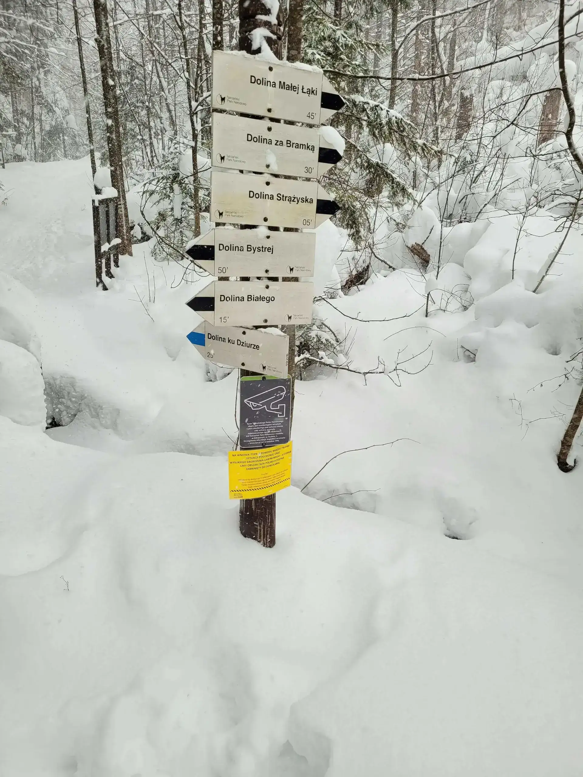
Start: Dolina Białego · via White Stream and Uranium Adits
Start: Siwa Polana · via Chochołowska Glade and The mountain hut at Chochołowska Glade
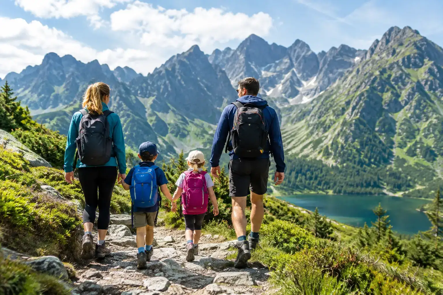
Trails with kids in the Tatras: routes that do not overestimate their strength. Check times, difficulty, weather, pushchairs, crowds and the rules of a safe turnaround.
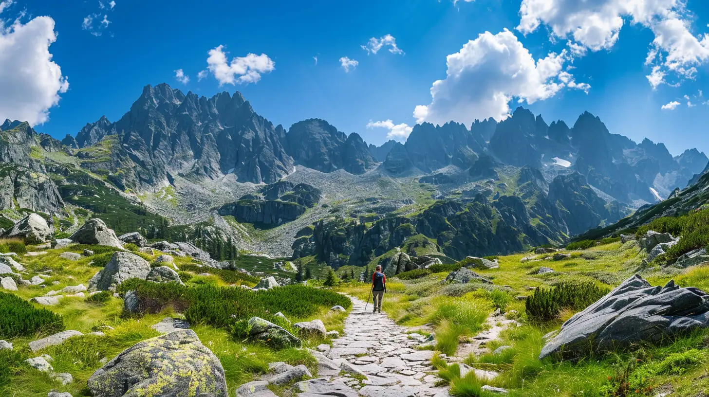
Do you dream of “real”, sharp, rocky mountains, but the thought of exposure and chains makes your legs shake? Here’s a list of summits you’ll reach like climbing stairs — without climbing gear.
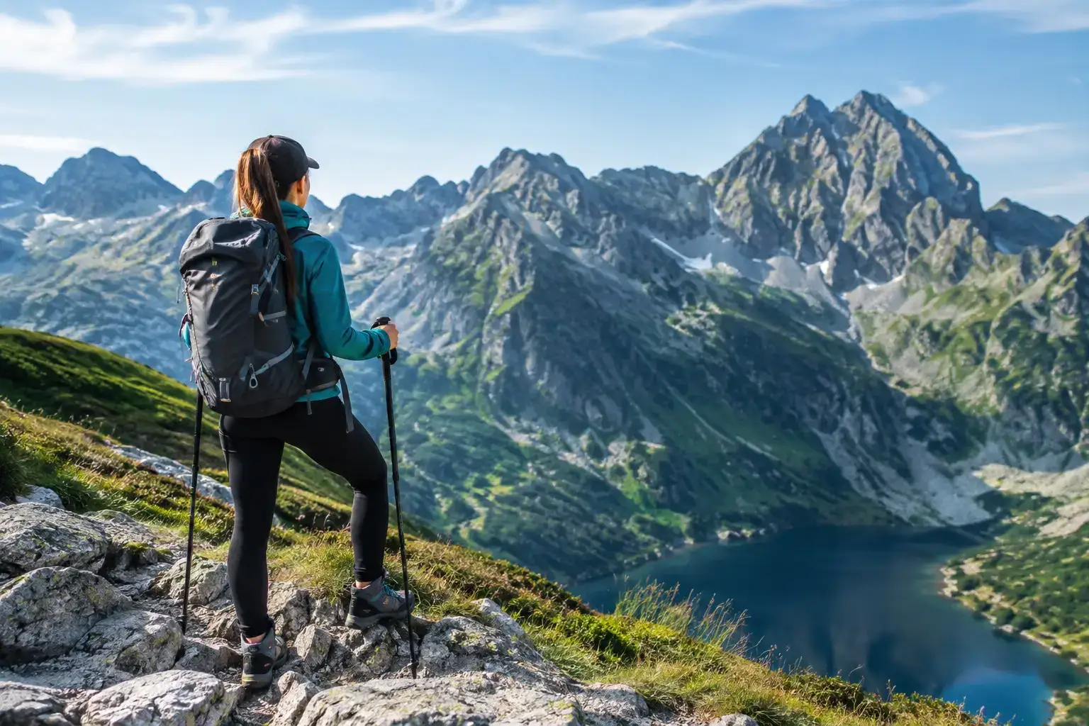
How to plan a trip up Rysy: the route, the weather, the kit, the fitness and the decisions that let you enjoy the summit without needless risk in the Polish Tatras.
These are affiliate links. If you book a stay or a ticket through them, we earn a small commission, for coffee :), at no extra cost to you.