When to turn back in the Tatras – my two retreats and what they taught me
When to turn back in the Tatras: wind, time, conditions worse than forecast, fatigue. My two retreats – 100 m below Kasprowy in a foehn wind and Wołowiec skipped.
In the mountains, the hardest decision is rarely whether to set off. It’s much harder to turn back when the goal is almost within reach. I’ve made that call twice in the Tatras, and each time I went home with an empty spot on my list of summits – but in one piece and keen for the next trip.
This post isn’t about being a hero. It’s about recognising when it’s the right moment to let go.
💡 In a nutshell – when to turn back:
The wind makes normal walking hard or you’re reaching for support with every step.
Your turnaround time has passed – set before you left, not on the trail.
Conditions are worse than forecast: clouds on the ridge, ice, rain that wasn’t supposed to come.
Someone in the group is fading or has stopped talking.
You can’t see the trail more than a few markers ahead.
The hardest section is still ahead, and you’re already tired.
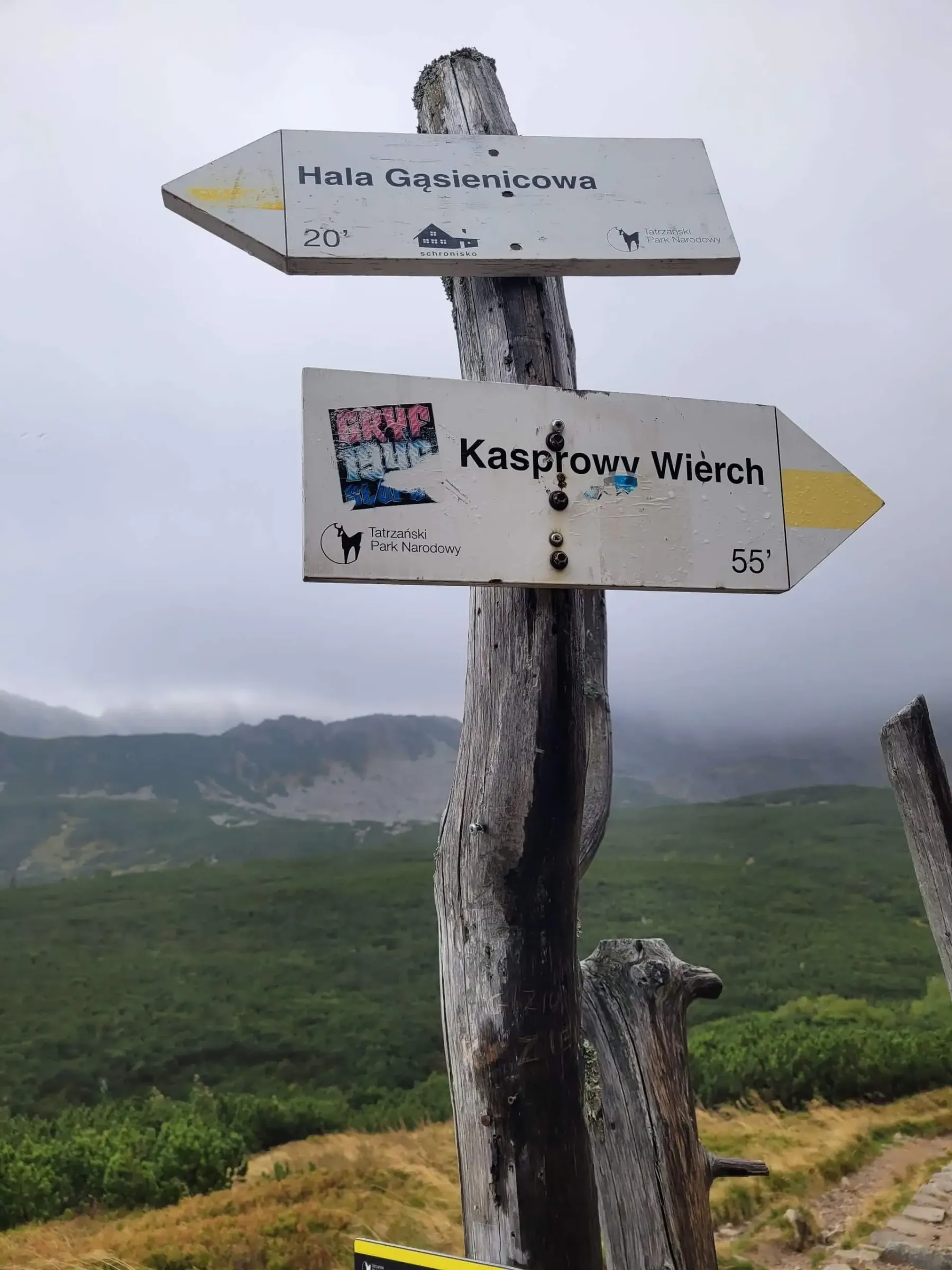
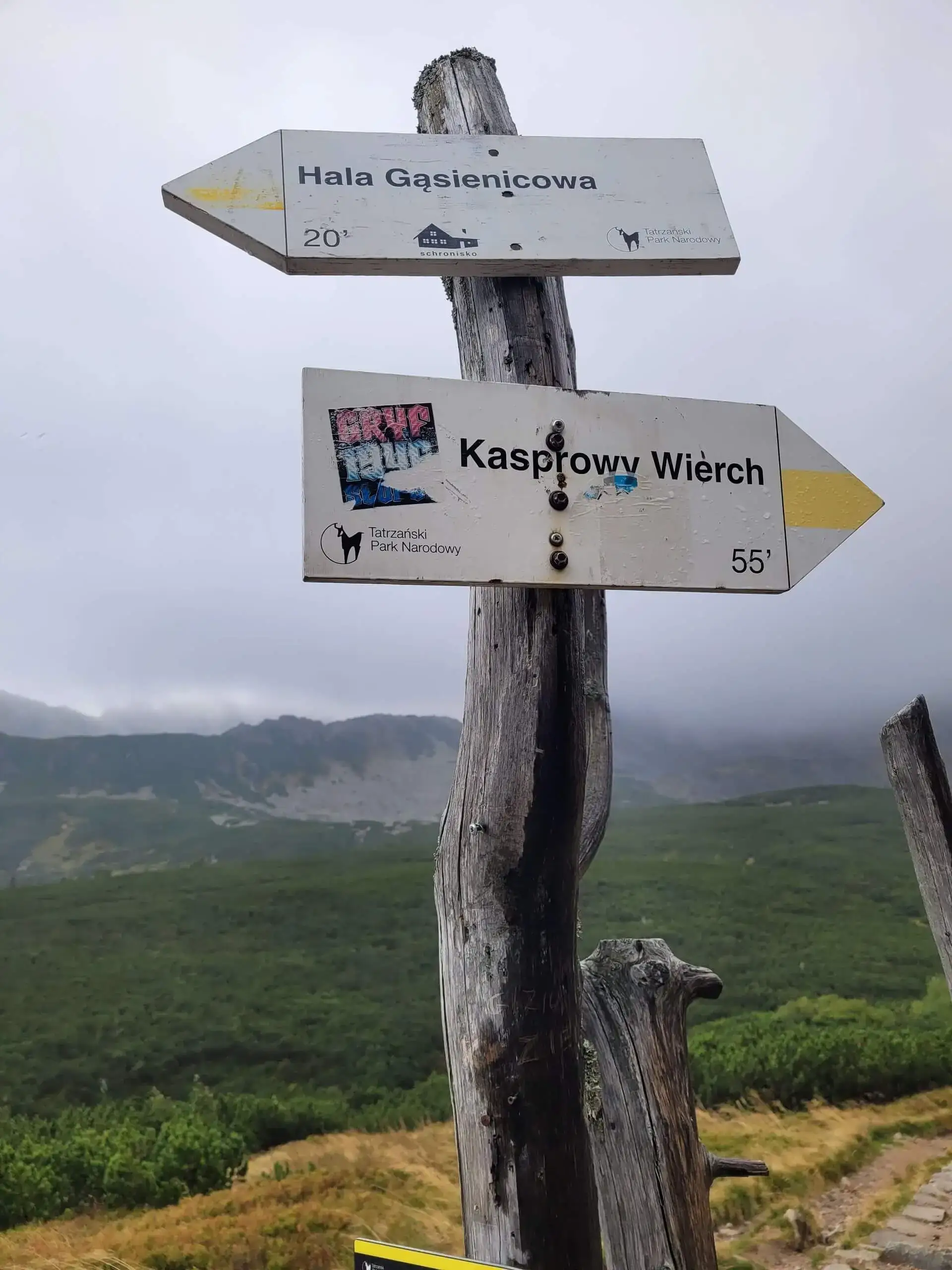
Signpost to Kasprowy Wierch with the summits in cloud
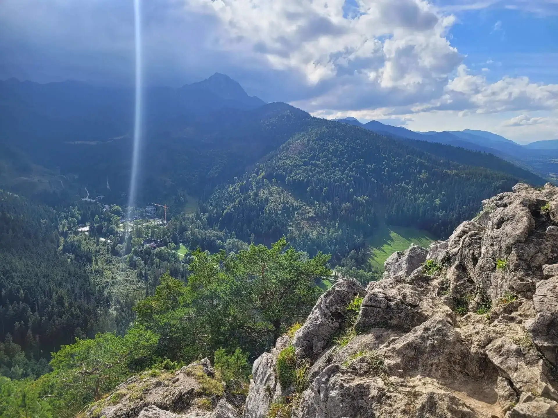
In September 2023 the plan was ambitious: Kasprowy Wierch, then along the ridge towards Giewont. The halny – the Tatra foehn wind – had other ideas. On the way up from Hala Gąsienicowa the summits disappeared into cloud, and the higher I went, the harder it blew. I turned back about 100 metres below Kasprowy.
Instead of the ridge I retreated to Czarny Staw Gąsienicowy and then descended over Nosal to Zakopane. It still added up to 23.5 km – so not a wasted day, just a different one from the plan. A year later I came back and did the whole plan: Kasprowy – Kopa Kondracka – Giewont along the ridge.
Looking back, I can see why it was the right call. In a halny, the strongest wind blows on ridges and passes – exactly where I was heading next. The ridge from Kasprowy towards Giewont is long and exposed, with almost no places to shelter or descend quickly. Going “just to the summit” would have meant starting the hardest part of the day in the worst conditions.
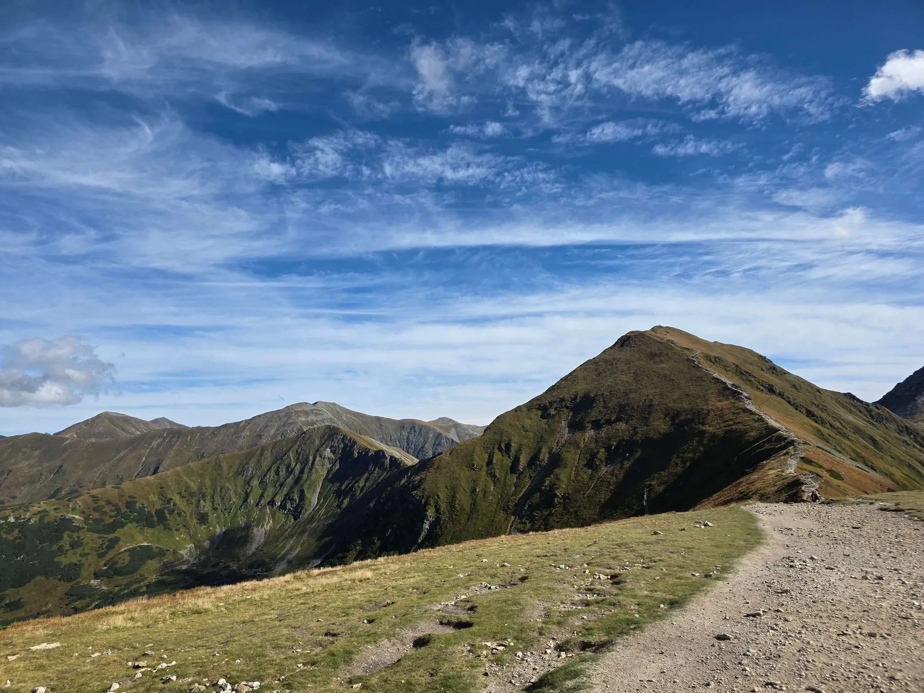
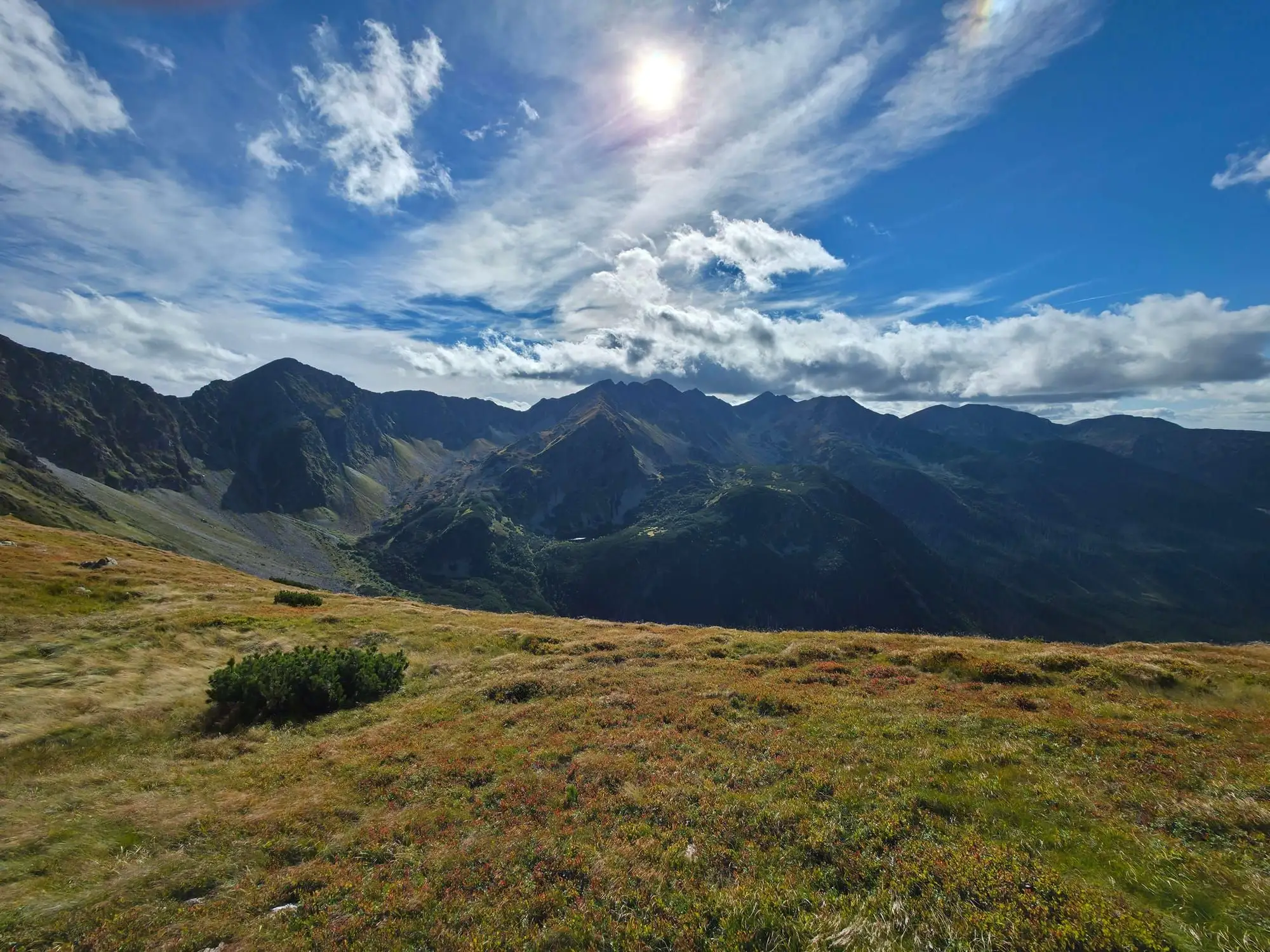
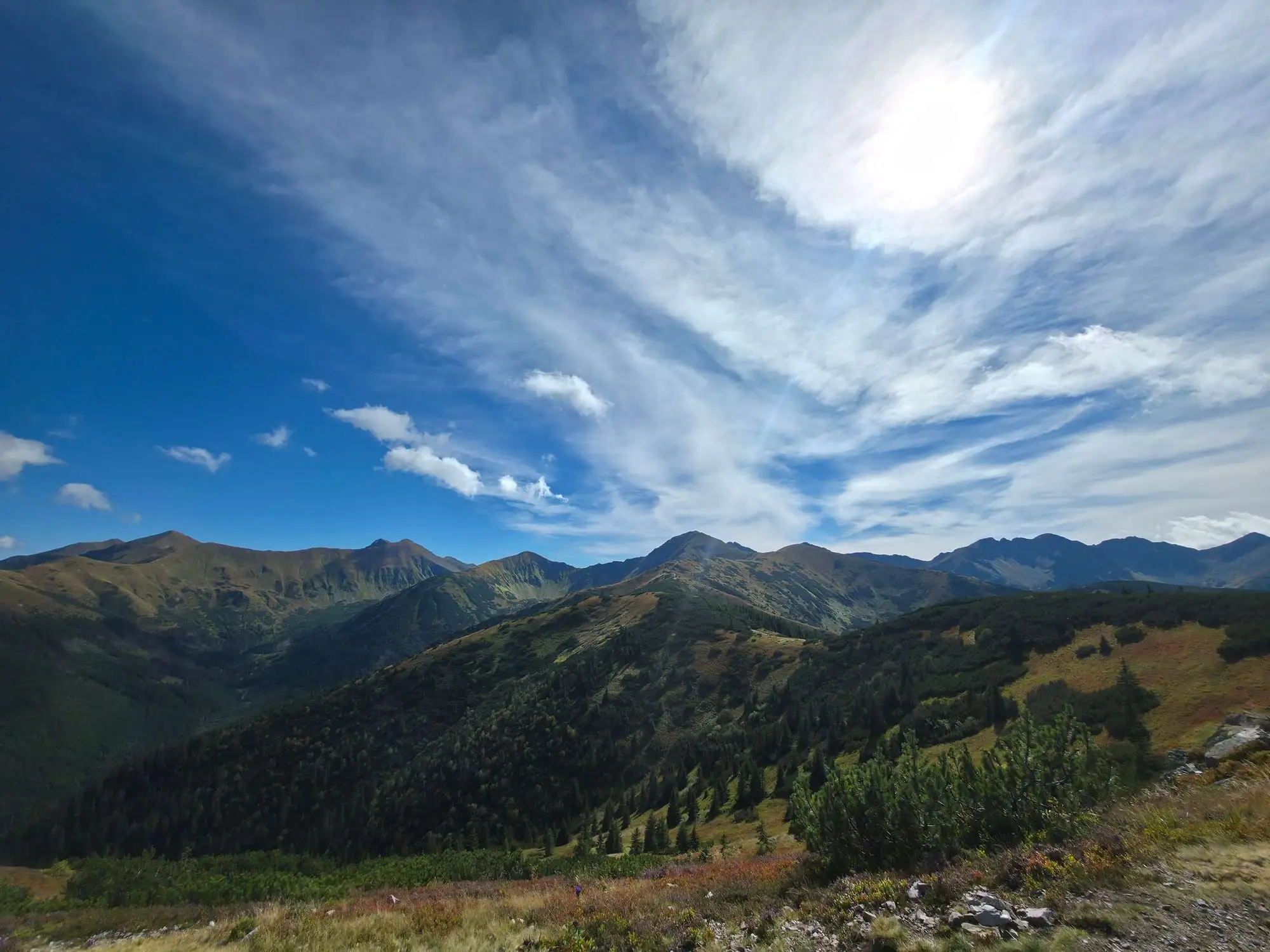
The second time was in September 2026, on a loop over Grześ and Rakoń. It was a beautiful day with wide views over the Western Tatras, and Wołowiec stood right in front of us at the end of the ridge. We let it go because of gusty wind and the late hour.
This time there was no drama – we simply did the maths: the ascent, the descent, wind that slows you down a lot on an exposed ridge, and the time it gets dark. The answer was clear. Wołowiec can wait for next time.
It’s a good example that the reason to turn back doesn’t have to be a storm or a risk of accident. Often simple arithmetic of time is enough.
6 signs it’s time to turn back
1. The wind changes how you walk
If you have to lean into the wind, catch your balance in the gusts, or reach for handholds – that’s a sign it will be worse further on, higher up and on the ridge. Wind on a summit is usually much stronger than in the valley and on the pass.
2. Your turnaround time has passed
Best set it before you leave, over breakfast, not on the trail. On the trail there’s always an argument that “it’s only 20 more minutes”. You work out your turnaround time backwards: when you need to be down before dark, how long the descent takes, and how much margin you add. In TPN there’s also a night-time ban on the trails – in November it starts at dusk.
3. Conditions are worse than forecast
The forecast said sun, but the ridge is sitting in cloud? It was meant to be dry, but there’s frost or ice on the rocks? The plan was good for the forecast conditions, not for the ones in front of you. Then the plan needs to change.
4. Someone in the group is fading
The group’s pace is the pace of its slowest member. If someone stops talking, falls behind, gets cold, or says they’ll “manage” but clearly aren’t – that’s the moment for a decision, not for motivation.
5. You can’t see the trail
Fog and cloud on the ridge aren’t just about missing views. In poor visibility it’s easy to lose the markers, especially in winter when they’re covered in snow. If you can’t see the next marker, you’re navigating from memory or a phone map – much weaker protection than it seems.
6. The hardest part is still ahead
Think about where on the route the chains, exposed sections or long stretches without an escape are. If you’ll reach them tired, in worse conditions or late – better to turn back before them than in the middle.
How to make the decision easier
A plan B before you set off. On Kasprowy my plan B turned out to be Czarny Staw Gąsienicowy and Nosal – and it was a good day. It’s worth knowing such options for every route.
Talk in the group before you leave. Agree that anyone can say “we’re going back” and nobody will argue.
The summit won’t run away. The Tatras will be here next week, next year and in ten years. You want to be too.
If something goes wrong, the TOPR emergency numbers are 985 or +48 601 100 300, and you can also call for help through the Ratunek app.
Frequently asked questions
When should you turn back in the mountains?
When wind makes normal walking difficult, your set turnaround time has passed, conditions are worse than forecast, someone in the group is fading, visibility drops, or the hardest section is still ahead and you’re already tired.
How do you set a turnaround time?
Work backwards: when you need to be at the car park (before dark), how long the descent takes (longer in winter and on tired legs than in the description), and add a margin. The time you get is your turnaround time at the highest point.
Can you hike in the Tatras during a halny wind?
In valleys and on low forest routes – often yes, carefully (falling trees). On ridges and summits – better not. The wind is strongest exactly on ridges and passes.
What should I do if I turn back halfway?
Choose a plan B you prepared earlier: a shorter loop, a descent via another valley, a mountain hut. Let your companions or someone at home know you’re changing plans.
How to call for help in the Tatras: TOPR numbers 985 and +48 601 100 300, the Ratunek app, what to tell the dispatcher, no signal, and HZS 18 300 in Slovakia.
Night ban in Tatra National Park: 1 Dec to end of Feb 22:00–5:00, 1 Mar to 30 Nov dusk to dawn. Sunrise and sunset table for Zakopane and how to plan your day.
The Tatras in winter without crampons? See which valleys and trails make sense, when to leave it, and how to judge the snow, the ice, the weather and your own boots.