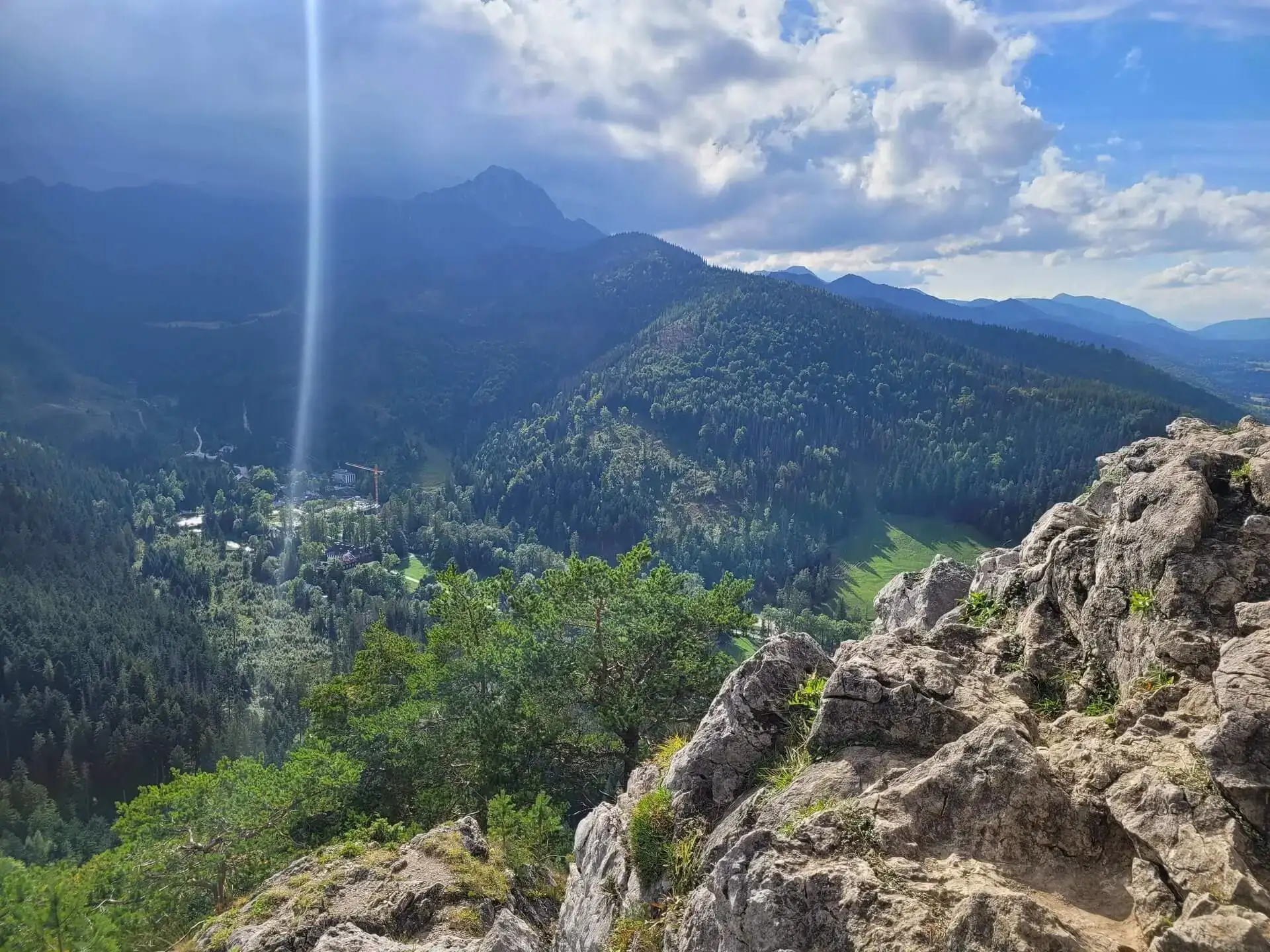
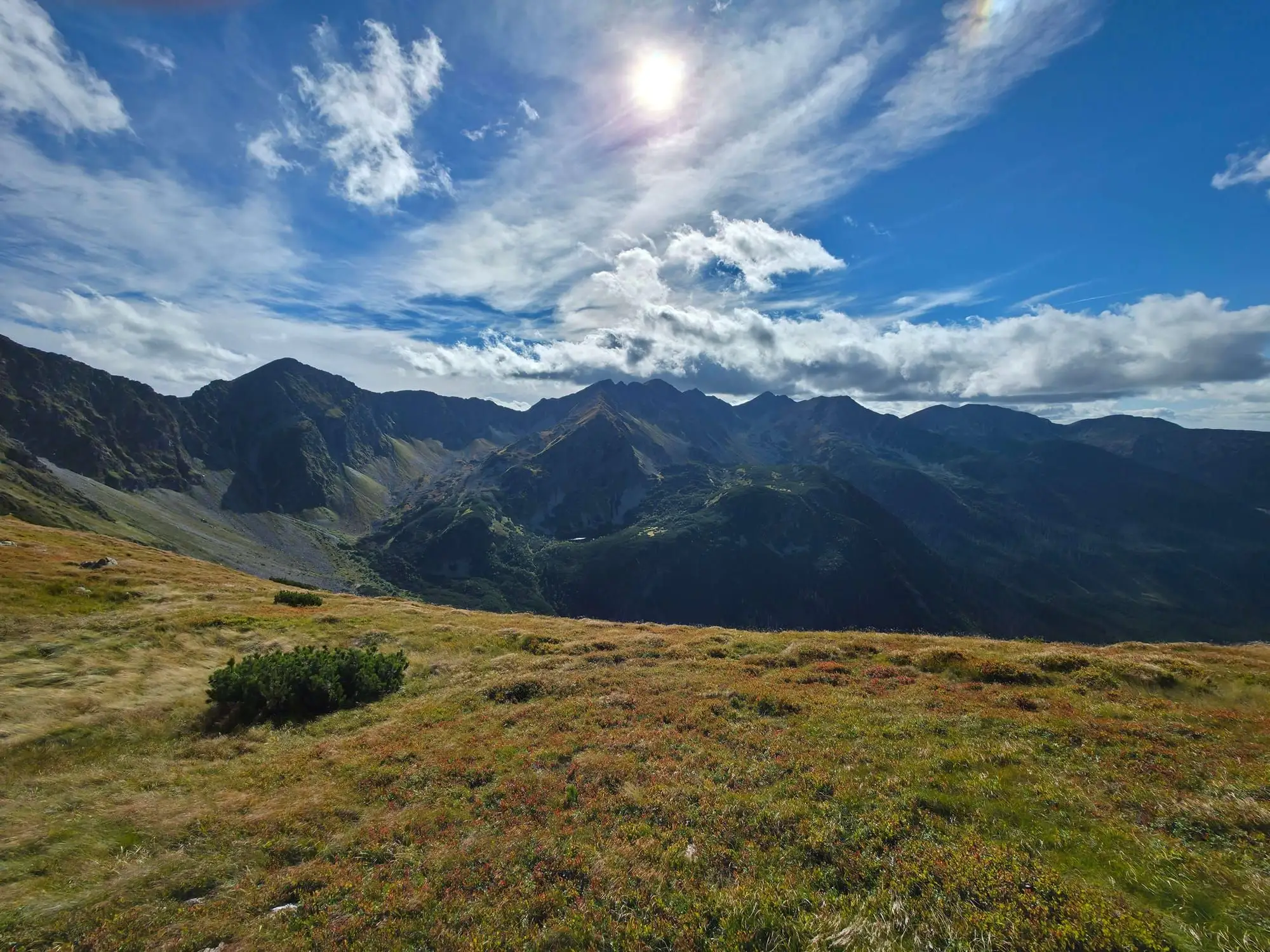
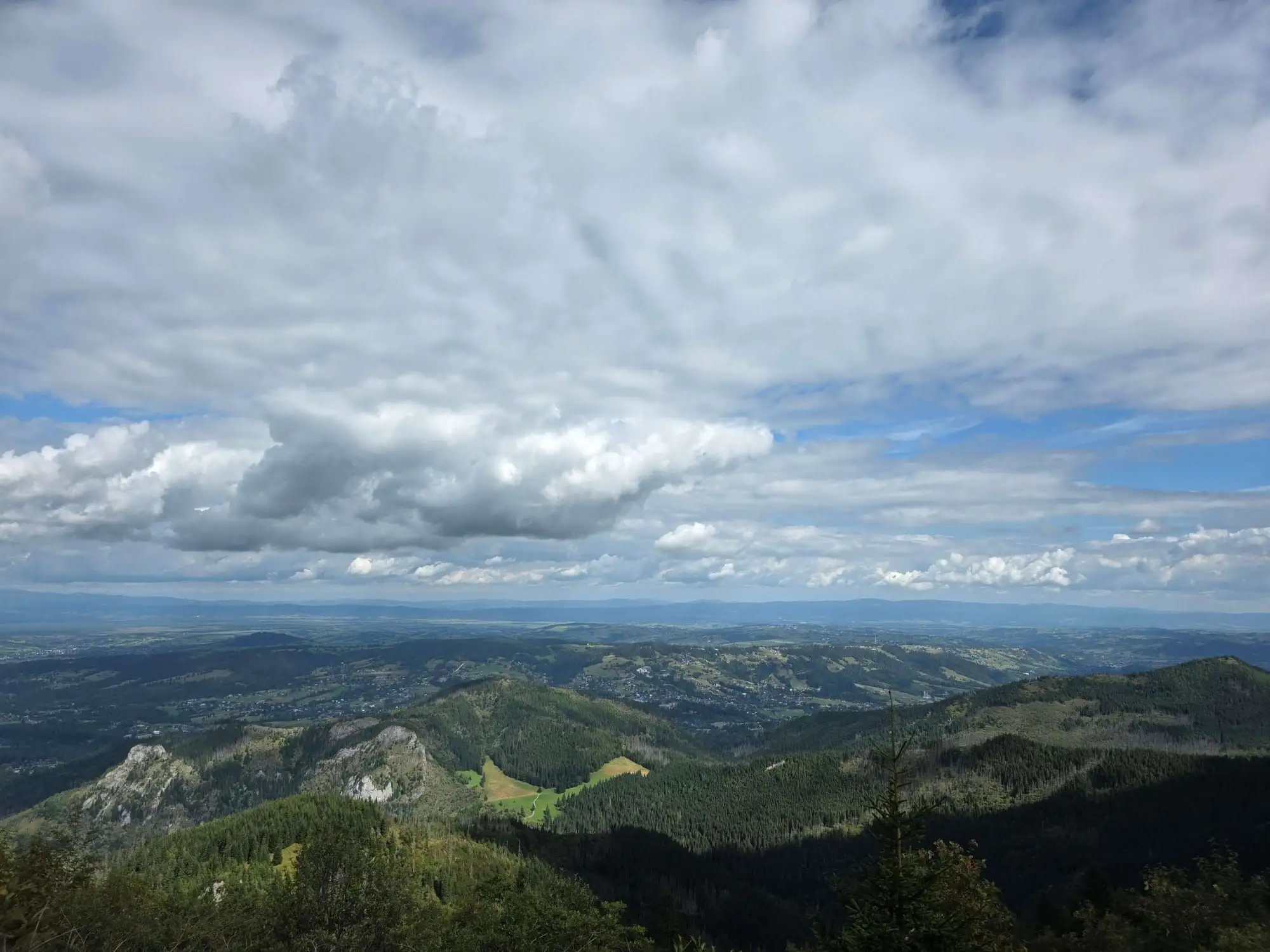
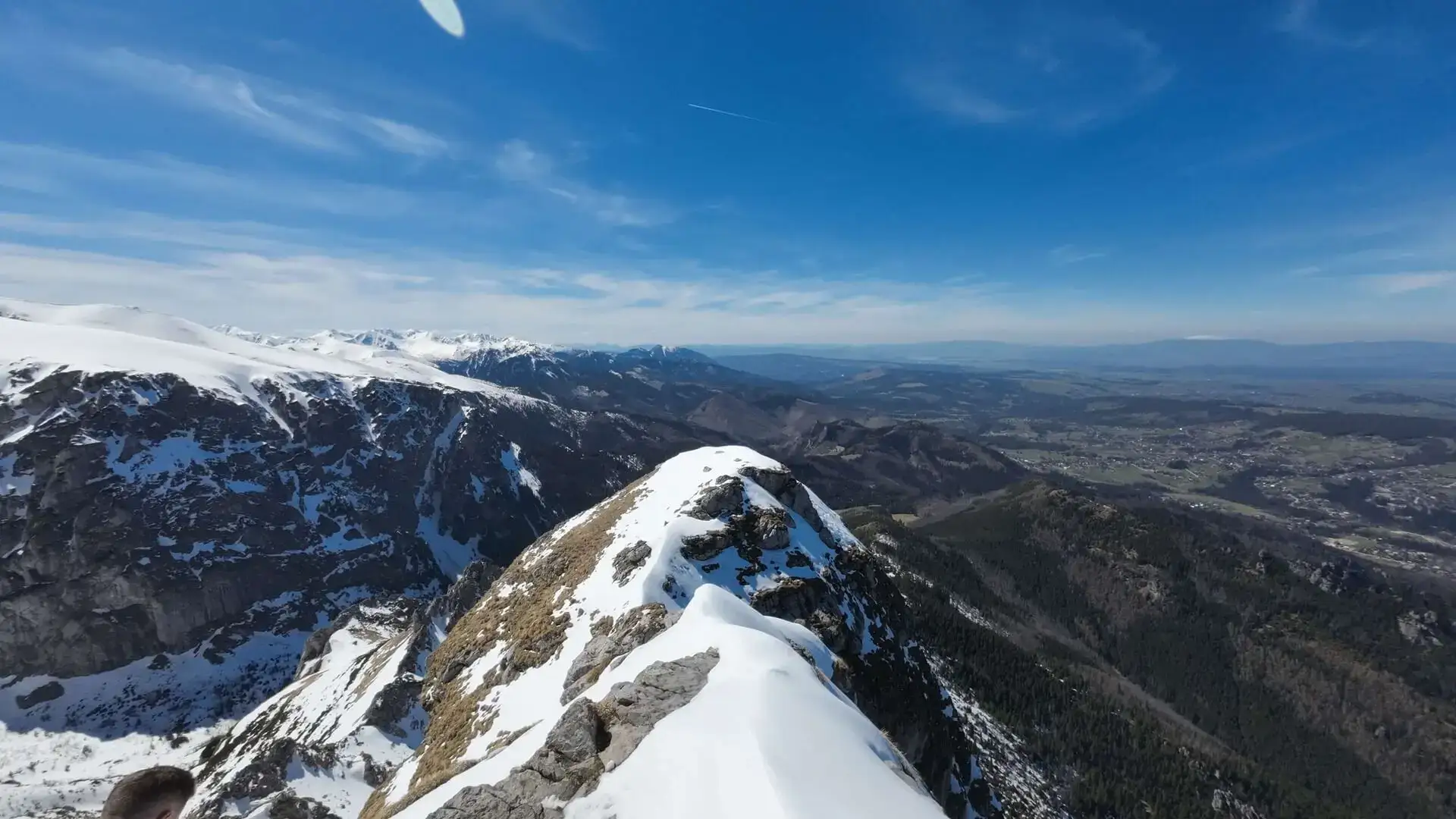
Kasprowy – Kopa Kondracka – Giewont along the ridge: the route that turned me back a year earlier
Kasprowy Wierch – Kopa Kondracka – Giewont along the ridge in one day: section times, chains below the cross, water, heat, and why it is a summer route, not a winter one.
In September 2023 the halny wind turned me back 100 metres below Kasprowy – I wrote about it in when to turn back in the Tatras. A year later, in September 2024, I came back for it. After a sleepless night on the road to Zakopane, checking in at the car park at 7 am and breakfast in Kuźnice, I did the whole plan from the year before: Kasprowy Wierch, the ridge to Kopa Kondracka, and Giewont.
This time the weather was the opposite: scorching hot, full sun, loads of water drunk and calories burned. A beautiful day – but it showed that on this ridge, heat can be as demanding as wind.
💡 In a nutshell – Kasprowy – Kopa Kondracka – Giewont:
Ridge: Kasprowy Wierch – Przełęcz pod Kopą Kondracką about 1 h 20 min, + about 15 min to Kopa Kondracka (2005 m).
Down to Kondracka Przełęcz: about 45 min, then up Giewont about 25 min with chains (one-way traffic below the cross).
Return: from Kondracka Przełęcz via Hala Kondratowa to Kuźnice about 2 h.
Water: no springs or huts on the ridge – carry at least 2–3 litres in the heat.
A summer and autumn route. In winter the ridge is avalanche-prone and needs gear and experience.
Getting up Kasprowy
Kasprowy Wierch is the start of the ridge. From Kuźnice you have two options:
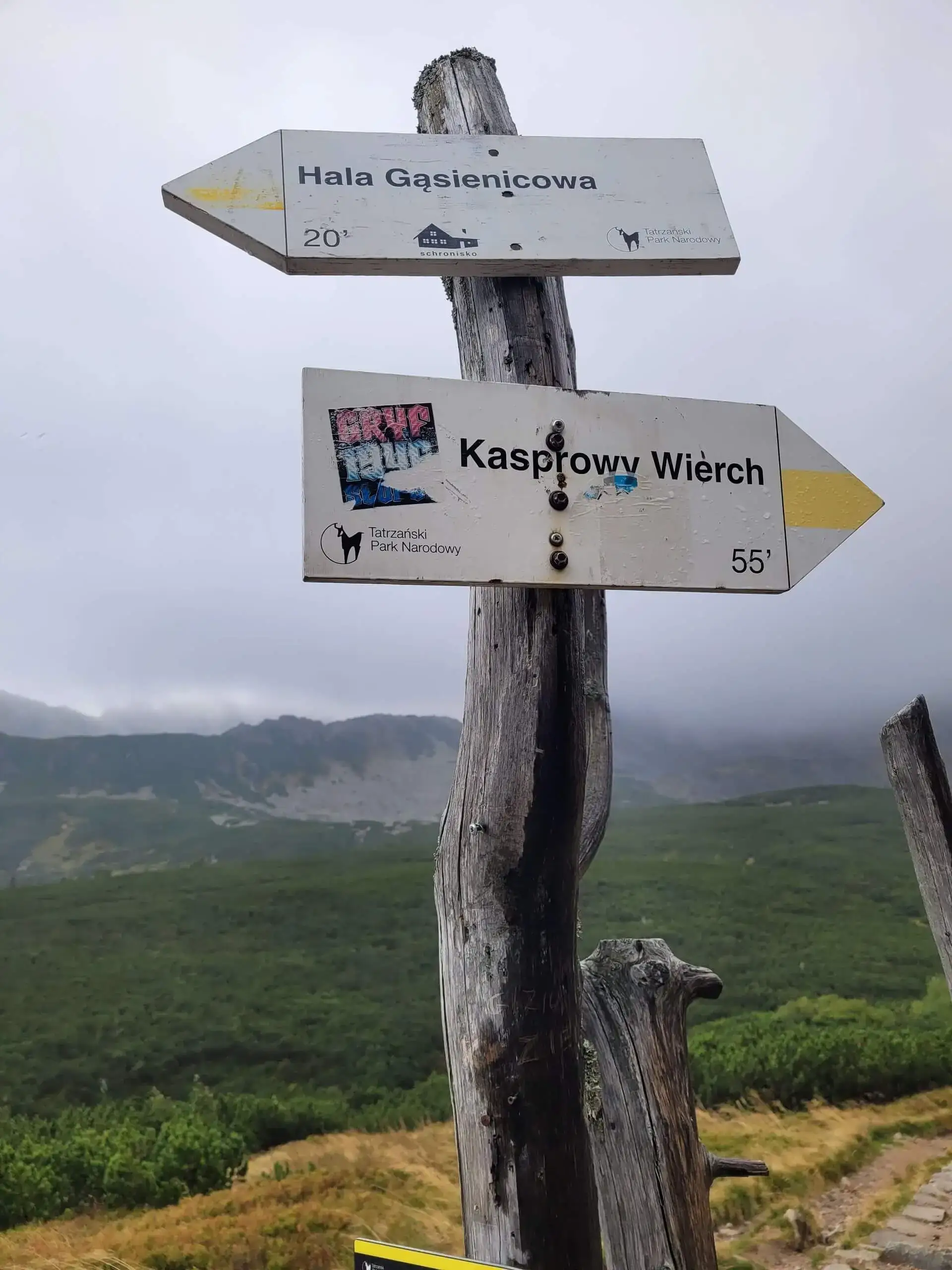
on foot – the green trail via Myślenickie Turnie or via Hala Gąsienicowa (about 3 h up),
by cable car from Kuźnice – a ride of just over a quarter of an hour; buy tickets online in advance, as the queues are long in season: Kasprowy cable car – tickets.
Taking the cable car saves several hours and makes the whole ridge with Giewont fit into one day even with average fitness. On foot it becomes a genuinely long and tiring loop.
The ridge to Kopa Kondracka
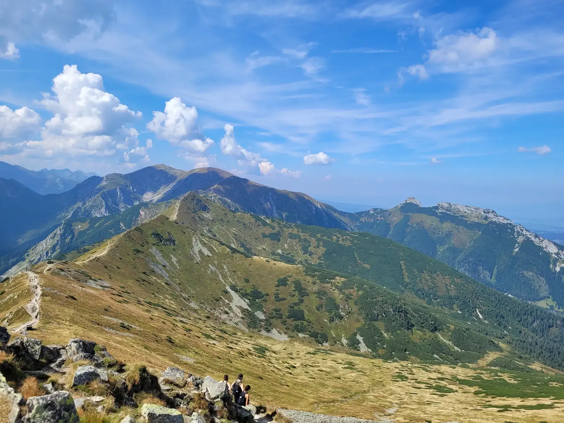
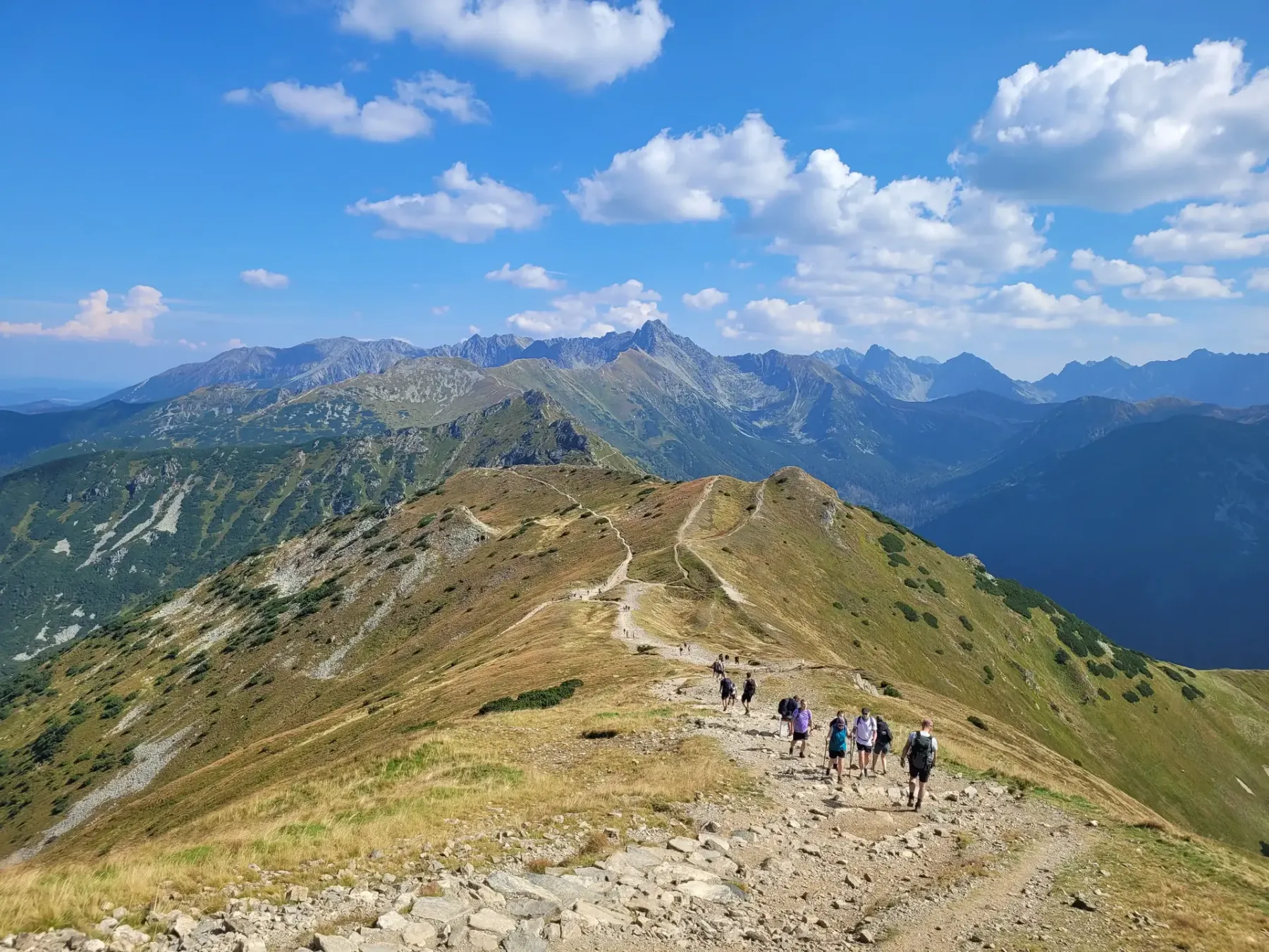
Ridge trail from Kasprowy Wierch towards Kopa Kondracka
From Kasprowy the red trail heads west along the main Tatra ridge – the Polish–Slovak border. On one side you have Dolina Goryczkowa and Zakopane, on the other the Slovak Tichá dolina. On the way you pass Goryczkowa Czuba and the rocky Suche Czuby, with two short rocky steps – no chains, but you’ll use your hands.
It’s about 1 h 20 min to Przełęcz pod Kopą Kondracką, and another 15 minutes to Kopa Kondracka (2005 m). It’s the first and lowest of the Czerwone Wierchy – and a great viewpoint over the whole ridge, Giewont and the High Tatras. If you have the energy and time, you can continue to the Czerwone Wierchy.
There’s no shade or water on the ridge. On a hot day that’s the most important thing to plan: water, a cap, sunscreen. On the other hand the ridge is exposed for a long time, so in a storm there’s nowhere to shelter – and summer storms in the Tatras usually come in the afternoon. That’s why it’s worth being on the ridge in the morning.
Giewont for dessert
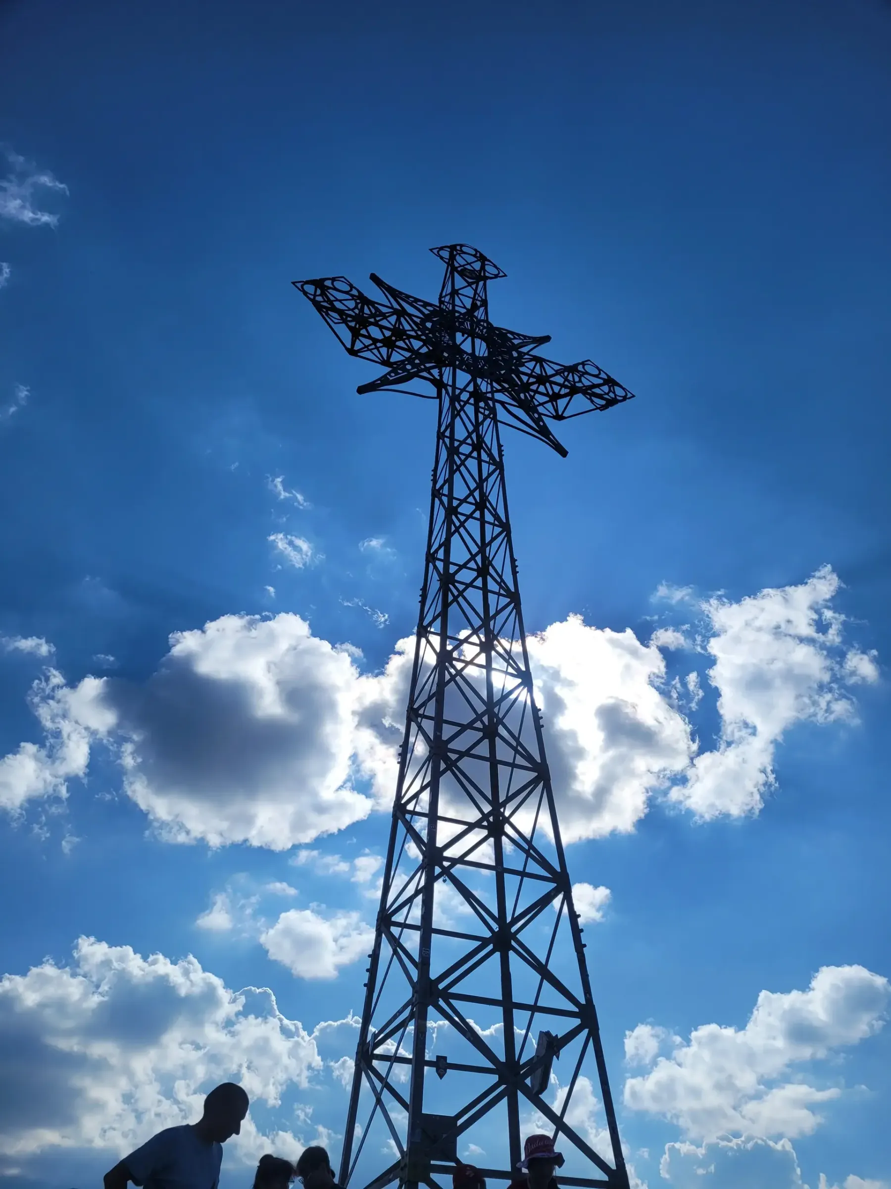
The cross on Giewont against the sky
From Kopa Kondracka you descend to Kondracka Przełęcz (about 45 min), then take the blue trail up Giewont – about 25 minutes, but with chains on the summit dome and one-way traffic below the cross. In season the queue for the chains is often a bigger problem than the difficulty itself.
The limestone below the cross is polished by thousands of boots and slippery even when dry. And the metal cross attracts lightning – with storms forecast, Giewont is the last place you want to be in the afternoon.
Back to Kuźnice
From Kondracka Przełęcz you return on the blue trail via Hala Kondratowa (mountain hut) and Kalatówki to Kuźnice – about 2 h. After a full day on the ridge it’s a long, rocky descent that takes its toll on your knees. Trekking poles help a lot.
Why this is not a winter route
The ridge looks easy in summer photos, but in winter it’s completely different terrain:
the slopes below the ridge and the descent into Dolina Goryczkowa are avalanche-prone,
it’s windy on the ridge, and snow and ice on the rocks of Suche Czuby and on Giewont’s summit dome need crampons and an ice axe,
the days are short – in December it’s dark before 16:00, and TPN has a night-time ban,
from 1 December to 15 May, sections including Przełęcz w Grzybowcu – Wyżnia Kondracka Przełęcz are closed.
The ridge from Kasprowy to Przełęcz pod Kopą Kondracką is about 1 h 20 min, with Kopa Kondracka about 1 h 35 min, the descent to Kondracka Przełęcz about 45 min and the climb up Giewont about 25 min. About 2 h 45 min of pure walking from Kasprowy to the cross, not counting the queue at the chains.
Are there chains on the ridge from Kasprowy to Kopa Kondracka?
No. There are two short rocky steps on Suche Czuby where you use your hands. The chains are only on Giewont.
Can you do it in one day?
Yes, especially if you take the cable car up Kasprowy. On foot from Kuźnice and back it’s a long day – you need good fitness and an early start.
Can you hike this ridge in winter?
Only with winter experience, crampons, an ice axe and avalanche knowledge. For hikers without that preparation – no.
How to call for help in the Tatras: TOPR numbers 985 and +48 601 100 300, the Ratunek app, what to tell the dispatcher, no signal, and HZS 18 300 in Slovakia.
When to turn back in the Tatras: wind, time, conditions worse than forecast, fatigue. My two retreats – 100 m below Kasprowy in a foehn wind and Wołowiec skipped.
Night ban in Tatra National Park: 1 Dec to end of Feb 22:00–5:00, 1 Mar to 30 Nov dusk to dawn. Sunrise and sunset table for Zakopane and how to plan your day.