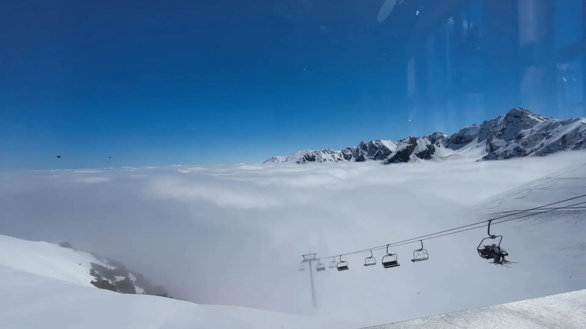
Difficulty: ModerateWestern Tatras
Kasprowy Wierch via Gąsienicowa
Start: Kuźnice · via Murowaniec hut and Hala Gąsienicowa
- 4:01 h
- Time
- 7.6 km
- Distance
- +1056 m
- Ascent
1987 m a.s.l. · trail green · start: Kuźnice
Snow and ice reported in upper Tatras. Crampons, ice axe, helmet and winter mountaineering experience required.
Warunki do uprawiania turystyki w wyższych partiach Tatr Wysokich są wciąż trudne - występuje tam miejscami śnieg i oblodzenia, zwłaszcza po stronie północnej - jest bardzo ślisko. Wyjścia w te partie Tatr wymagają doświadczenia w zimowej turystyce górskiej oraz użycia odpowiedniego sprzętu – raków, czekana i kasku, wraz z umiejętnością posługiwania się nim.
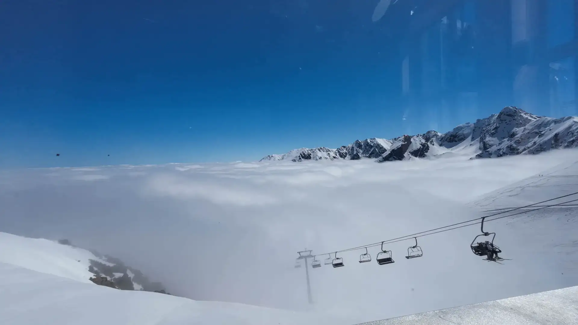
PolecanyGreen from Kuźnice
Czas i dystans dla całej wycieczki, z powrotem do startu.
Tempo
5 h 31 minSzacunek od czasu z opisu, bez kolejek i postojów.
Polecany jest na tej stronie. Inny start ma osobną kartę — własny opis i mapę.
| Wariant | Start | Czas przejścia | Łańcuchy | Kolor szlaku |
|---|---|---|---|---|
Green from KuźnicePolecany Myślenickie Turnie, switchbacks, almost 1,000 m of ascent. No chains. The figures at the top of the page show this loop. | Kuźnice | 5 h 31 min | Nie |
|
Yellow via Gąsienicowa Climb via Murowaniec and Sucha Pass. Separate page with its own map. No chains. Zobacz ten szlak → | Kuźnice | 4 h 01 min | Nie |
|
Cable car up, walk down Only with a ticket bought online. Yellow down to Gąsienicowa takes 2–2.5 h. At 11:00 at the ticket office you will not “get on somehow”. | Kuźnice (PKL) | 2 h 30 min | Nie |
|
Polecany
Green from Kuźnice
Myślenickie Turnie, switchbacks, almost 1,000 m of ascent. No chains. The figures at the top of the page show this loop.
Green from Kuźnice
Wykres podejść wygenerowany ze śladu GPX. Przesuń kursor lub palec po wykresie, aby sprawdzić profil podejścia i punkty kulminacyjne.
Wgraj trasę do zegarka sportowego (Garmin, Coros, Suunto, Apple Watch) lub aplikacji nawigacyjnej (Mapy.cz, Komoot, Locus Map, Strava) i nawiguj po szlaku w trybie offline bez zasięgu.
Kasprowy Wierch (1,987 m above sea level) is a legendary mountain. It is probably the most recognisable peak in Poland, a mecca for skiers, and a must-see for every tourist. Situated exactly on the border between the Western and High Tatras, it offers one of the broadest, most spectacular panoramas in the entire range.
💡 In a nutshell – Kasprowy Wierch:
- On foot or by cable car? Hiking up (green trail from Kuźnice) means almost 1000 m of elevation gain and no technical difficulties. Taking the cable car requires buying an online ticket (ticket office queues are a nightmare).
- Descent: If you take the cable car up, it’s worth walking down (e.g. via the yellow trail through Hala Gąsienicowa – approx. 2.5 h).
- Weather: It is much colder and windier at the summit than in Zakopane. Always carry a warm layer in your backpack.
- Trail junction: From Kasprowy you can head to Świnica (difficult, chains) or Czerwone Wierchy (easier, wide ridge).
Thanks to the modern cable car, the summit is accessible to almost everyone, but reaching it under your own power is a completely different story. It is a rewarding, long slog that lets you feel the true atmosphere of the high mountains and truly earn the views from the summit.
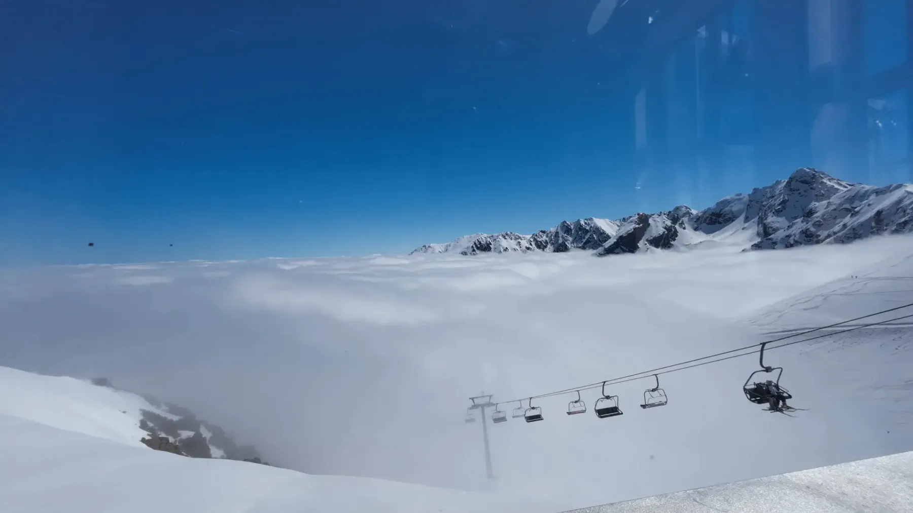
The most popular hiking route leads from Kuźnice. It is the simplest option logistically, as you start and finish in the same place.
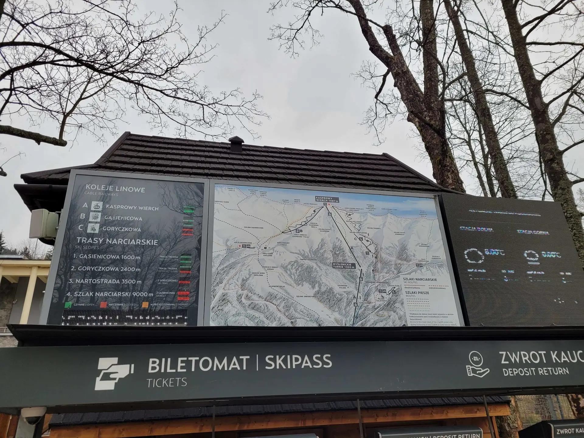
The trail starts right by the lower cable car station in Kuźnice. Initially, it follows a wide road through the forest, before soon starting to climb up stone steps. After about an hour of walking, we reach Myślenickie Turnie (1,352 m a.s.l.), where the cable car transfer station is located. This is a good place for your first sip of water.
Above Myślenickie Turnie, the real work begins. The trail emerges above the tree line, entering the dwarf pine zone, and then into the open terrain of the Goryczkowa Valley. The path climbs in seemingly endless zigzags. There are no technical difficulties here (no chains or precipices), but you have to conquer a total of almost 1,000 metres of elevation gain. The sun can beat down hard here, and your thighs will definitely feel the effort.
After about 3.5 hours of exhausting marching, we stand on the summit. We are greeted by the distinctive building of the IMGW High-Mountain Meteorological Observatory (the highest building in Poland) and the famous “Bell” at Sucha Przełęcz. We made it!
Many tourists choose to go up by cable car. The ride in a carriage with panoramic windows takes a dozen or so minutes (with one transfer) and is a great attraction in itself.
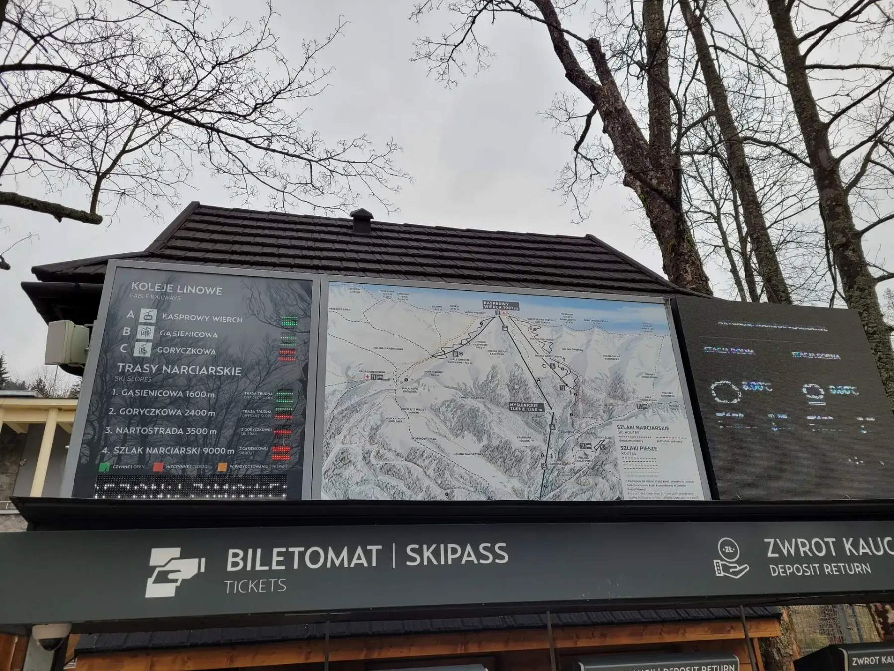
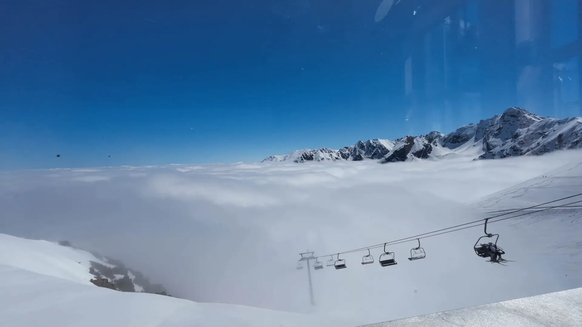
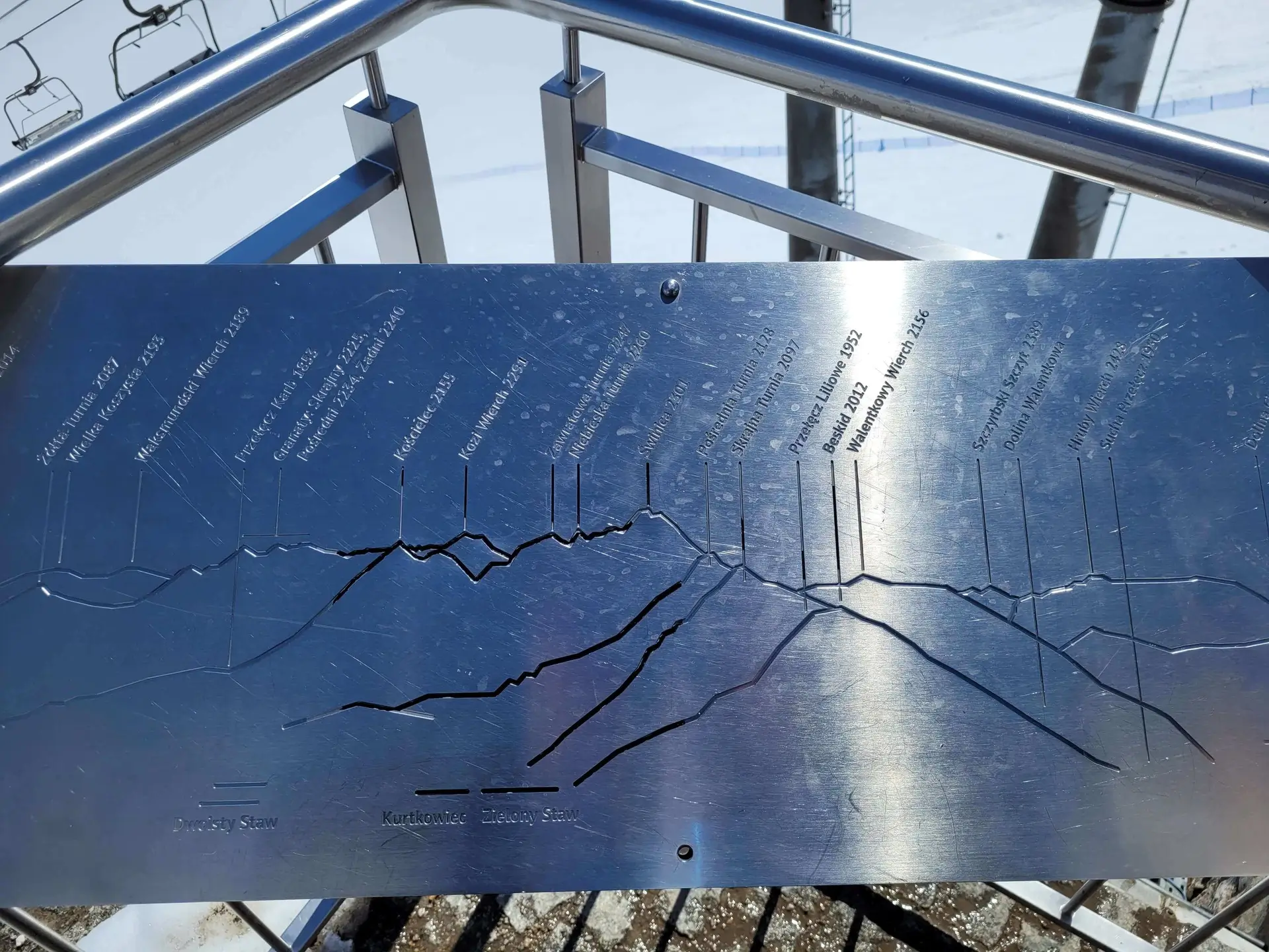
From Kasprowy Wierch, there is an insane 360-degree view. You can clearly see the mighty, rocky Świnica, the jagged ridge of Orla Perć, and on the Slovak side – the national mountain of the Slovaks, the curved Krywań.
Kasprowy is also a brilliant trail junction:
The entire walking loop is 5.5 to 6 hours of marching and almost 1,000 m of elevation gain.
In winter, Kasprowy is the kingdom of skiers, strong winds, and the cable car, which is sometimes closed in bad conditions. You only set off on foot from Kuźnice in microspikes or crampons, depending on the current avalanche bulletin. Do not confuse “taking the cable car up for a coffee” with heading out to Czerwone Wierchy in the fog – in winter, the ridge is a serious challenge.
On foot: Not for someone who is already breathing like a steam locomotive on the first kilometre in the forest. It is a long, tedious ascent that tests your fitness. By cable car: Not for someone who arrives at the ski jump at 11:00 a.m. without an online ticket and hopes for a miracle. Not for people who feel the cold and don’t have a jacket. It is cold on the summit even in August!
Trailhead logistics – reach the start smoothly without parking hassle.
Car parks near Rondo Jana Pawła II / Bronisława Czecha St.
Parking fee: 30–45 PLN / day (private & municipal car parks near Rondo JP2)
From Rondo Jana Pawła II, private cars are strictly prohibited. Reach Kuźnice only by local bus (5 min) or on foot via Aleja Przewodników Tatrzańskich (20–25 min).
Buses from Main Station & Rondo JP2 to Kuźnice
Route & bus stop: Main Station (Transport Hub) ➔ Rondo Jana Pawła II ➔ Kuźnice (cableway station)
Fare: ~5–6 PLN (cash payment to driver)
Buses shuttle every 5–10 minutes from dawn till dusk. Prepare exact change.
Local buses and transit help bypass morning traffic and parking hassles.
Complete guide to Tatra car parks, buses, and TPN reservations.
Tool
Check off items as you pack, switch between summer/winter and clear the list before your next trip. Progress is saved automatically.
Newsletter
A few times a year: trail conditions, closures, the best time to go and new routes. No weekly spam.
Planning your next hike? From the same starting point and area, we recommend:
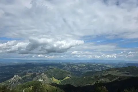
Czerwone Wierchy (Red Peaks) ridge from Kuźnice to Kiry over four summits: 15.4 km, 7 h 56 min, no chains. A gentle start near Zakopane and a long descent.
Start: Kuźnice · via Murowaniec hut and Hala Gąsienicowa
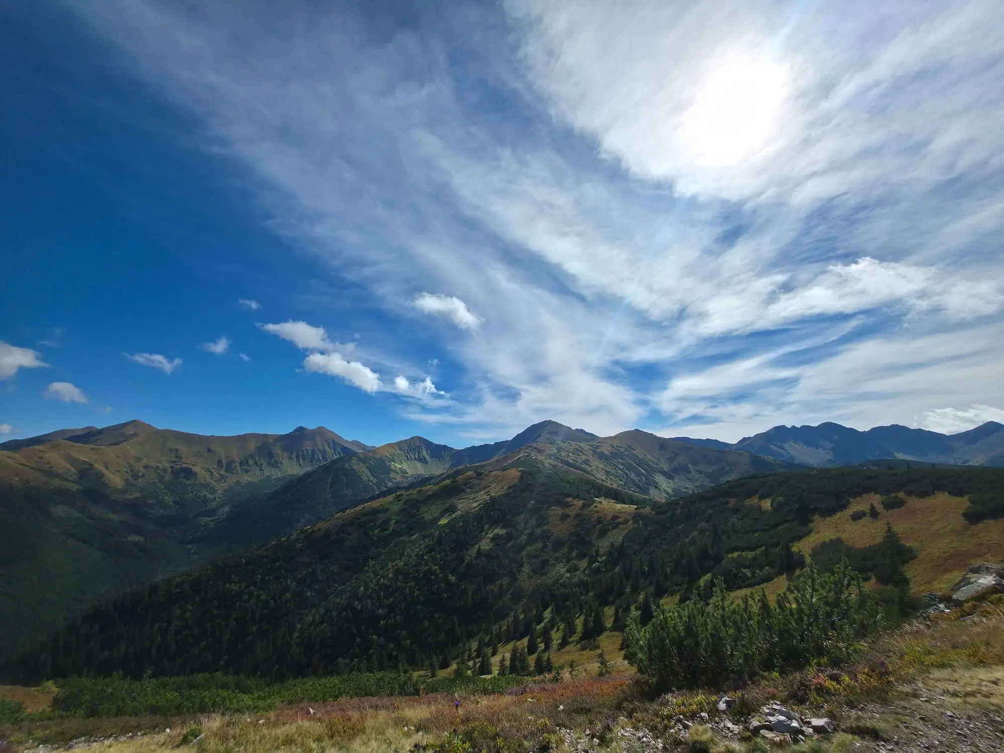
Start: Siwa Polana (Chochołów Valley) · via Views of the Roháče and Długi Upłaz
Start: Siwa Polana (Chochołów Valley) · via Views of Starorobociański Wierch and Jarząbcza Valley
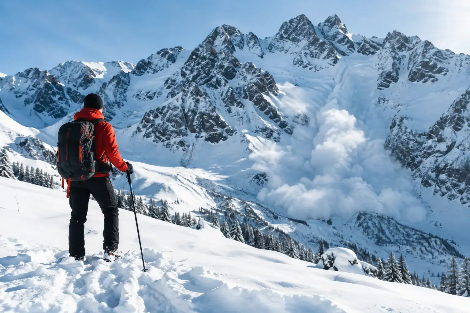
Avalanches in the Tatras do not forgive a rush. Check the bulletin, the weather, the ground and the decisions that help you get back safely from a ski tour or a hike.
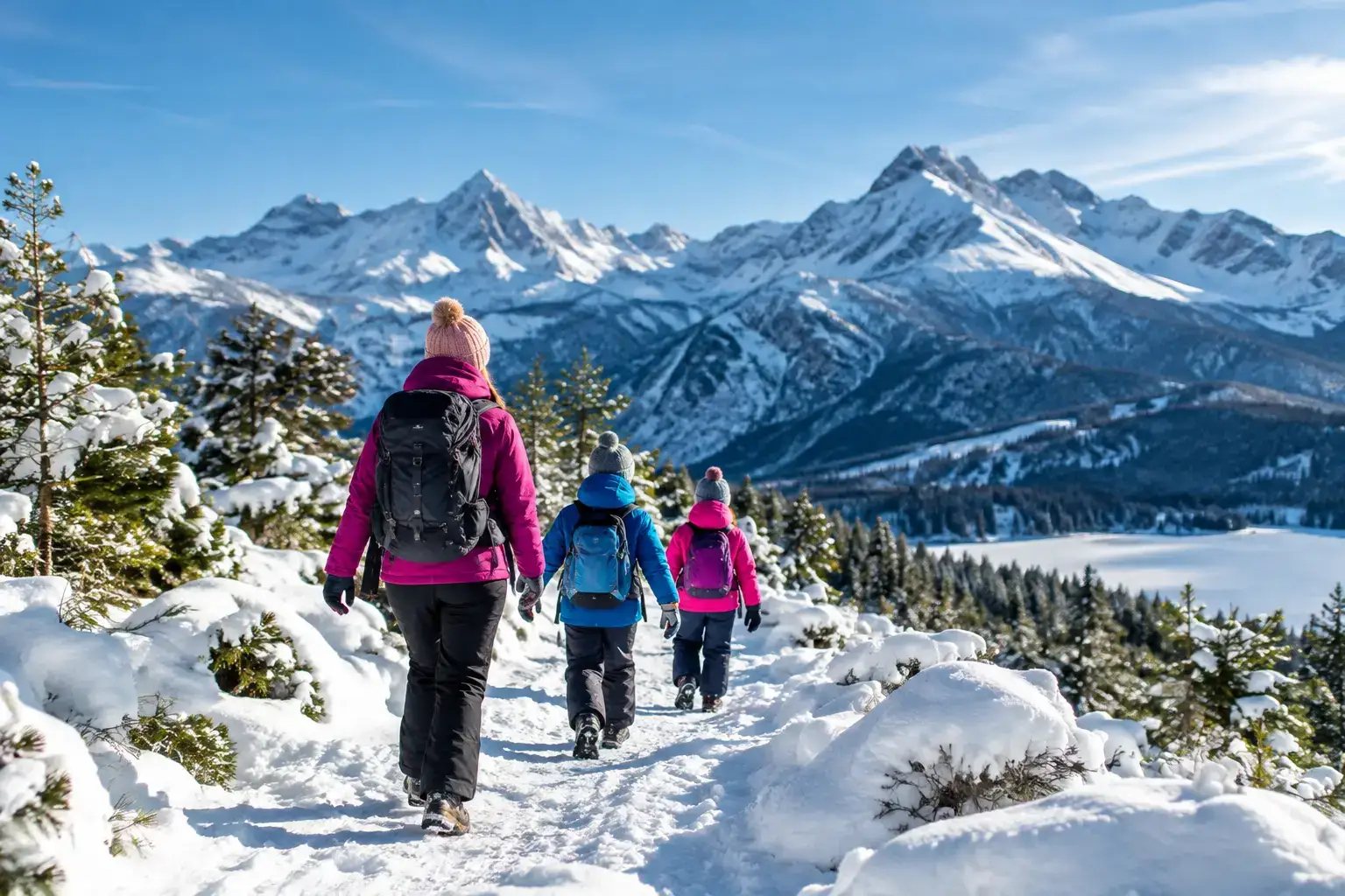
See where to go in the Tatras in winter with children, safely: valleys, meadows and places in Slovakia, plus how to pick a route for a family day in good conditions.
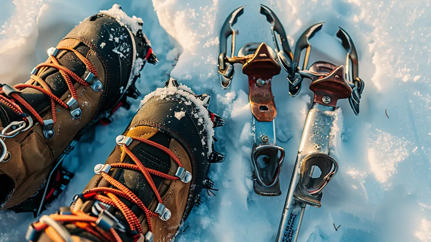
Microspikes for valleys, crampons and an ice axe for steep summits, merino layers and gloves. The winter gear you need for hiking in the Tatras.
These are affiliate links. If you book a stay or a ticket through them, we earn a small commission, for coffee :), at no extra cost to you.