Ridge — Tatra trails and posts
Found 13 results for ridge
Trails (13)
No photo Distance: 20.6 kmDuration: 9 h 50 minBanówka (Baníkov)
Banówka (2178 m) from the Žiarska Valley car park via Plačlivé and Hrubá kopa: 20.6 km, 9 h 50 min, chains and exposure. Trail closed 1 Nov – 31 May.
Difficulty: difficult (chains, exposure)
#slovakia#western tatras#chains+2View trailNo photo Distance: 16.7 kmDuration: 8 h 25 minBaraniec (Baranec)
Baraniec (2185 m) from the Žiarska Valley: up the yellow ridge, down past the hut. 16.7 km, 8 h 25 min, no chains. Above the hut closed 1 Nov – 15 Jun.
Difficulty: difficult (physically)
#slovakia#western tatras#fitness+2View trailNo photo Distance: 28.1 kmDuration: 11 h 50 minBystra (Bystrá)
Bystrá (2248 m) from Kiry via Ornak and Błyszcz: 28.1 km, 11 h 50 min there and back, no chains. The summit trail is closed from 1 Nov to 31 May.
Difficulty: very demanding (physically)
#slovakia#western tatras#highest peak+2View trail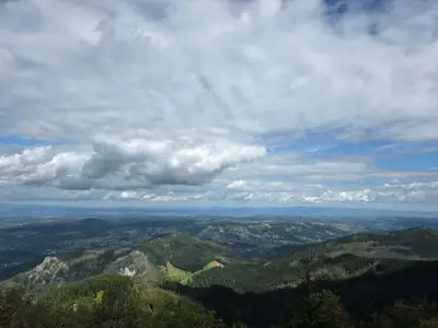 Distance: 15.6 kmDuration: 8 h 27 min
Czerwone Wierchy (Red Peaks)
Czerwone Wierchy (Red Peaks) from Kiry to Kuźnice over four 2000 m summits: 15.6 km, 8 h 27 min, no chains. Where to shorten the walk and what to do in fog.
Difficulty: average
#western tatras#ridge#fitness+2View trail- Distance: 15.4 kmDuration: 7 h 56 min
Czerwone Wierchy from Kuźnice
Czerwone Wierchy (Red Peaks) ridge from Kuźnice to Kiry over four summits: 15.4 km, 7 h 56 min, no chains. A gentle start near Zakopane and a long descent.
Difficulty: medium
#western tatras#ridge#fitness+1View trail No photo Distance: 17.5 kmDuration: 8 h 30 minGranaty
Granaty from Kuźnice: Skrajny, Pośredni and Zadni Granat, down Żleb Kulczyńskiego. 17.5 km, 8 h 30 min, chains and exposure. A section of Orla Perć, not a stroll.
Difficulty: very difficult
#high tatras#orla perć#chains+2View trailNo photo Distance: 24.1 kmDuration: 10 hJarząbczy Wierch
Jarząbczy Wierch (2137 m) from Siwa Polana via the hut and the Jarząbcza Valley, down Krowiniec: 24.1 km, 10 h, no chains but a lot of fitness needed.
Difficulty: difficult (fitness-wise)
#western tatras#fitness#ridge+2View trailNo photo Distance: 18.3 kmDuration: 8 hKończysty Wierch
Kończysty Wierch (2002 m) from Siwa Polana via Trzydniowiański Wierch: 18.3 km, 8 h there and back, no chains. A quiet 2000 m peak in the Western Tatras.
Difficulty: medium / difficult (fitness-wise)
#western tatras#2,000-metre peak#panorama+2View trail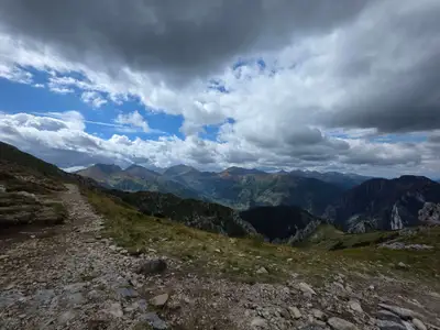 Distance: 15.6 kmDuration: 8 h 02 min
Małołączniak
Małołączniak (2096 m) from Gronik near Zakopane via Kondracka Pass and Kopa: 15.6 km, 8 h 02 min, no chains. A 2000 m peak for fit beginners. Parking and times.
Difficulty: medium
#western tatras#ridge#fitness+1View trail- Distance: 14.4 kmDuration: 7 h 27 min
Małołączniak via Kobylarzowy Żleb
Małołączniak from Gronik via Kobylarzowy Żleb with a short chain, down via Kopa Kondracka: 14.4 km, 7 h 27 min. Parking, times, when to turn around.
Difficulty: medium
#western tatras#chains#fitness+1View trail No photo Distance: 19.2 kmDuration: 7 h 49 minOrnak
Ornak (1854 m) from Kiry via the Ornak hut and Iwaniacka Pass: 19.2 km, 7 h 49 min, no chains. A quieter ridge than the Red Peaks (Czerwone Wierchy).
Difficulty: medium
#western tatras#ridge#quiet+2View trail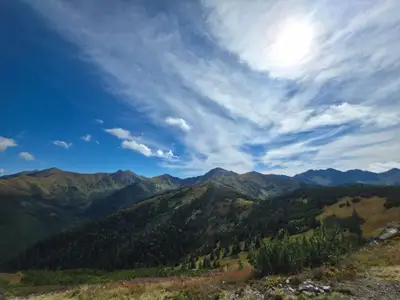 Distance: 22.6 kmDuration: 8 h 50 min
Rakoń
Rakoń (1879 m) from Siwa Polana via Grześ and Długi Upłaz, down the green trail: 22.6 km, 8 h 50 min, no chains. Gentle ridge, Roháče views, often windy.
Difficulty: medium
#western tatras#ridge#panorama+1View trailNo photo Distance: 22.4 kmDuration: 10 h 18 minStarorobociański Wierch
Starorobociański Wierch (2176 m), the highest peak of the Polish Western Tatras, from Siwa Polana: 22.4 km, 10 h 18 min, no chains, a lot of fitness needed.
Difficulty: difficult (fitness-wise)
#western tatras#highest peak#fitness+2View trail