Przysłop, gully, summit, Kopa, yellow into the valley. The map shows this loop.
The longer description below is about the recommended variant.
🗺️
Map and trail profile
Blue through the gully, yellow descent
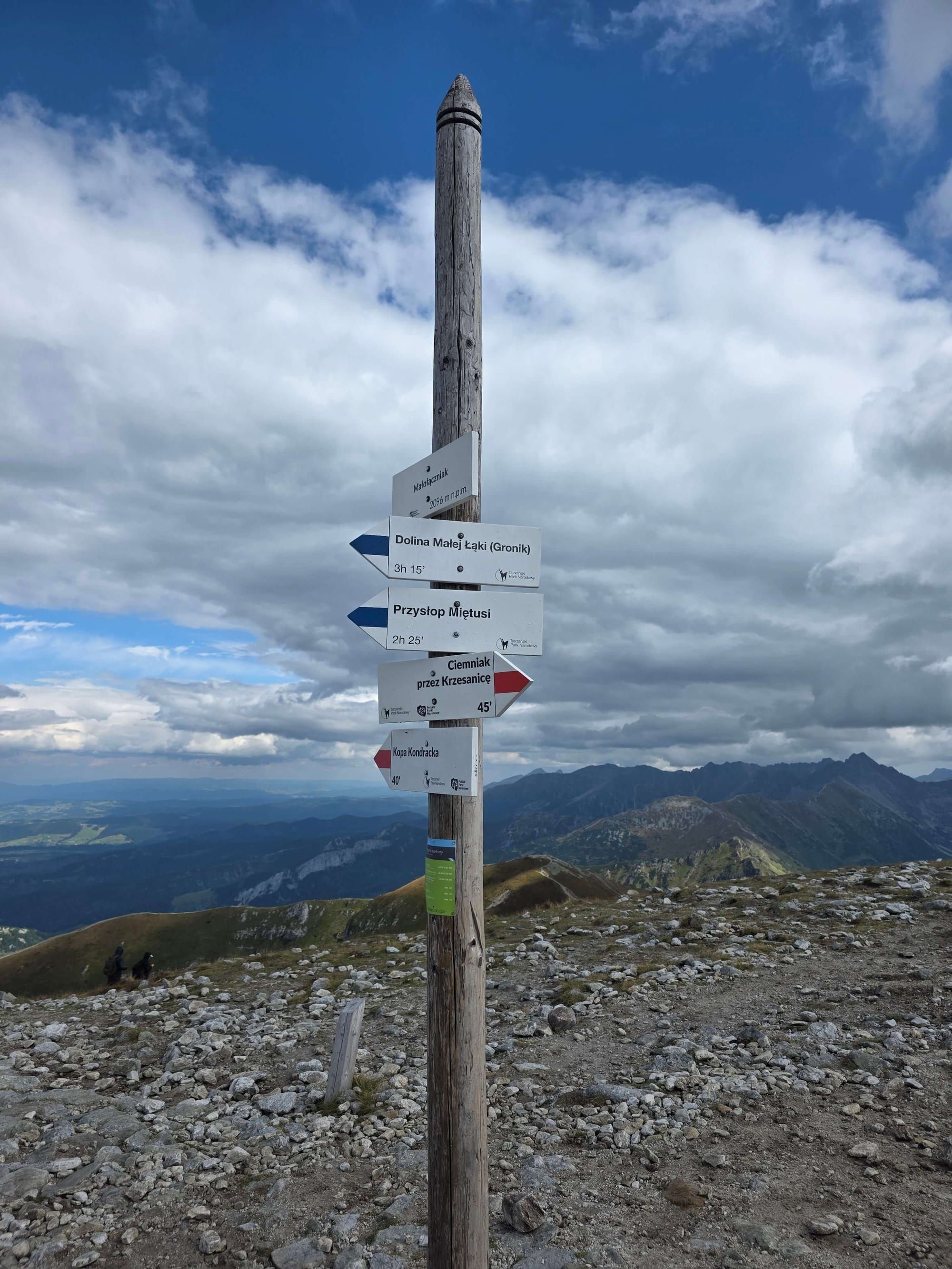
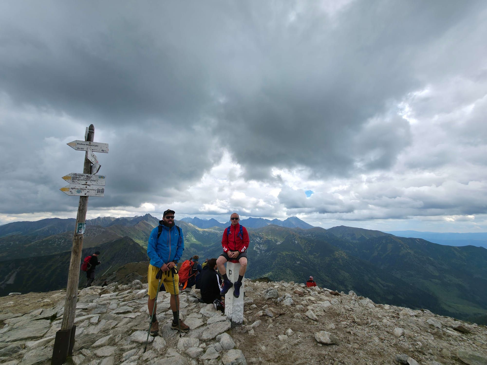
Małołączniak via Kobylarzowy Żleb is the blue trail from Gronik, not yellow via Kondracka. The summit is the same (2,096 m). The only chain is here: a short step in the gully.
The tiles and map are a loop: 14.4 km, 7 h 27 min, 1,350 m up. Climb the gully, descend yellow via Kopa Kondracka. The map does not send you down the same blue trail — for good reason.
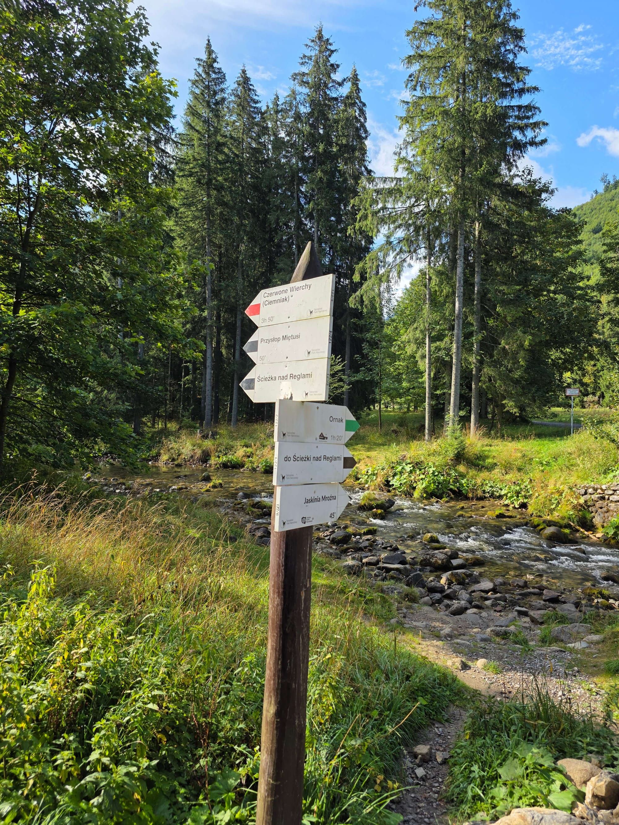
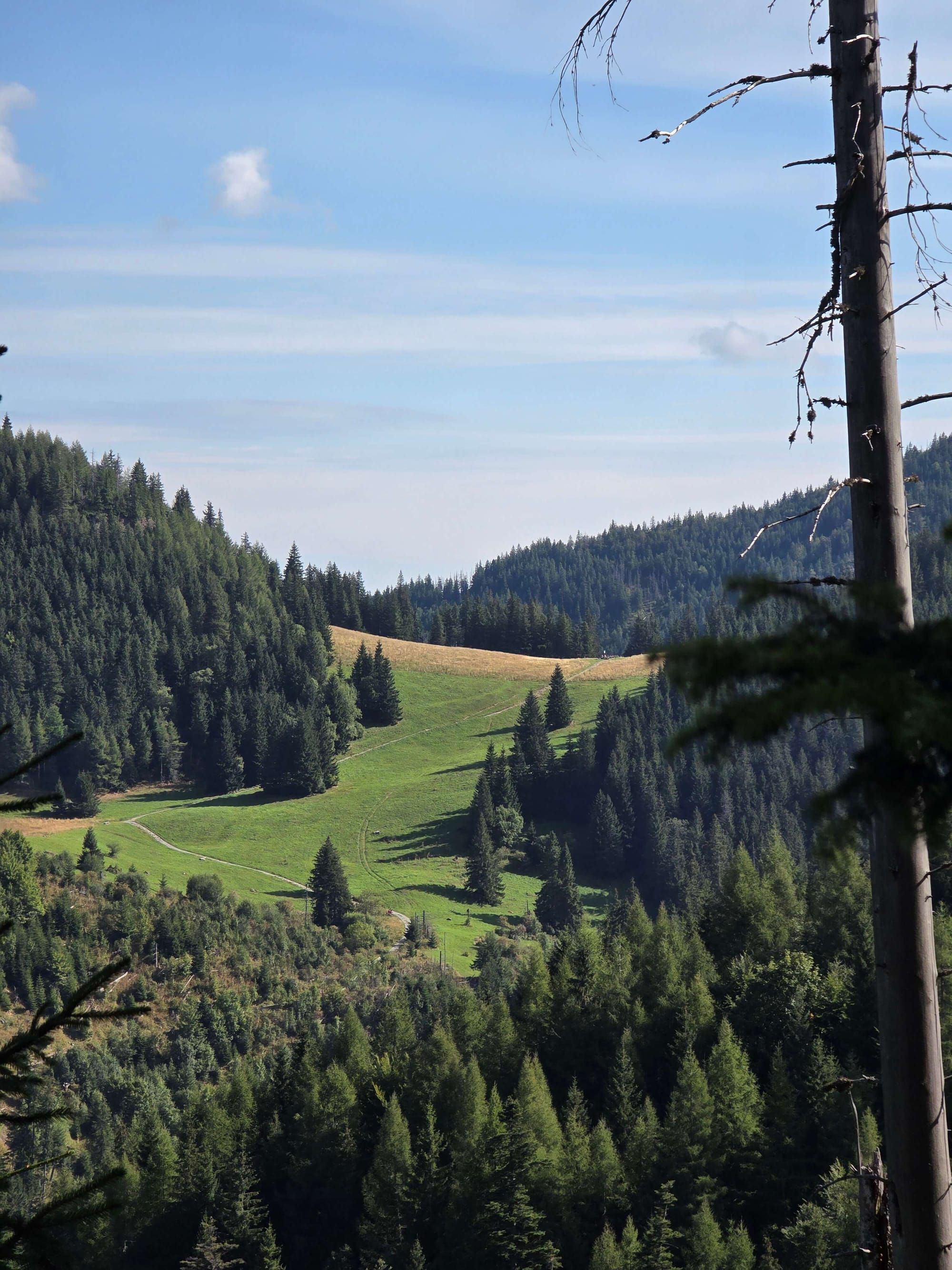
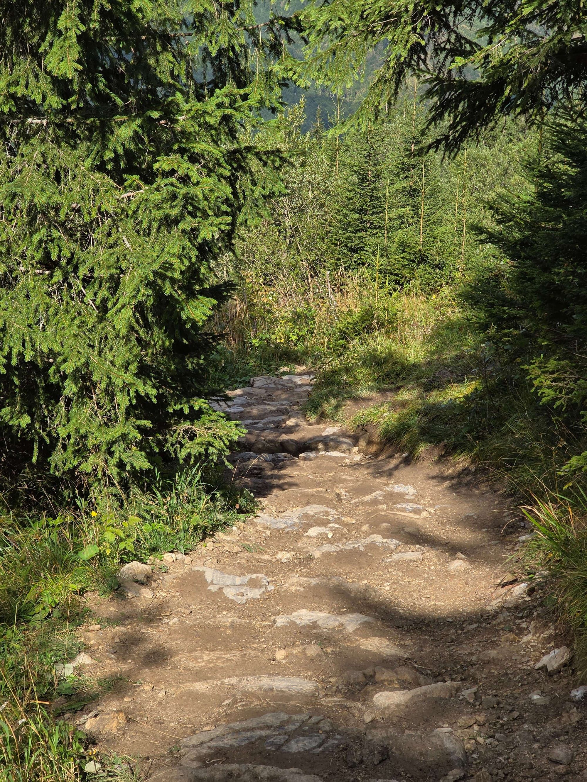
To Przysłop Miętusi (blue, about 1 h): Yellow and blue run together to the fork. Leave the valley on yellow. Blue turns up to Przysłop. Meadow, forest, then steeper.
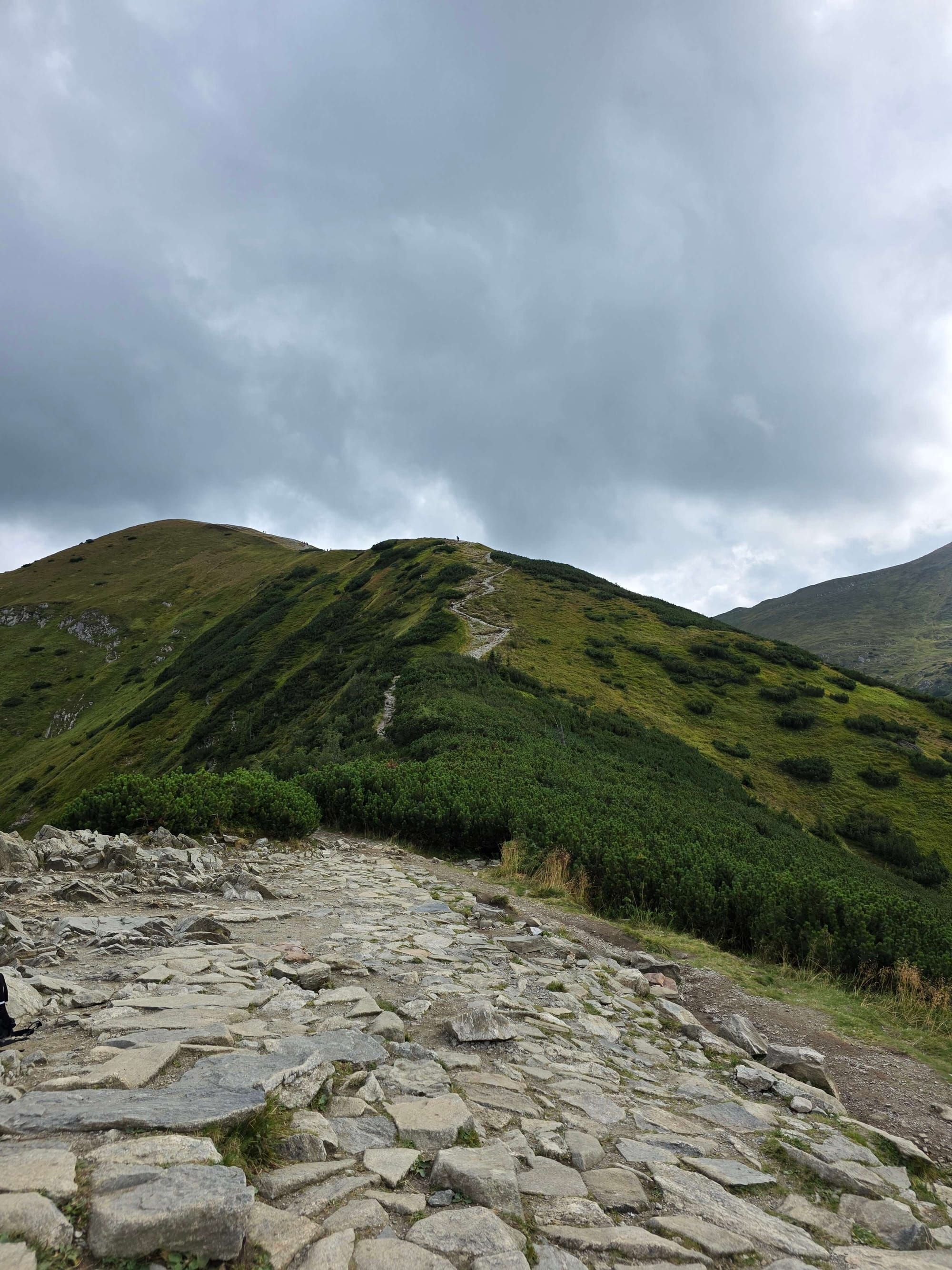
Kobylarz (blue, about 1 h 10 min from Przysłop): Dwarf pine, scree, Kobylarzowa Turnia on the right. Still no chain.
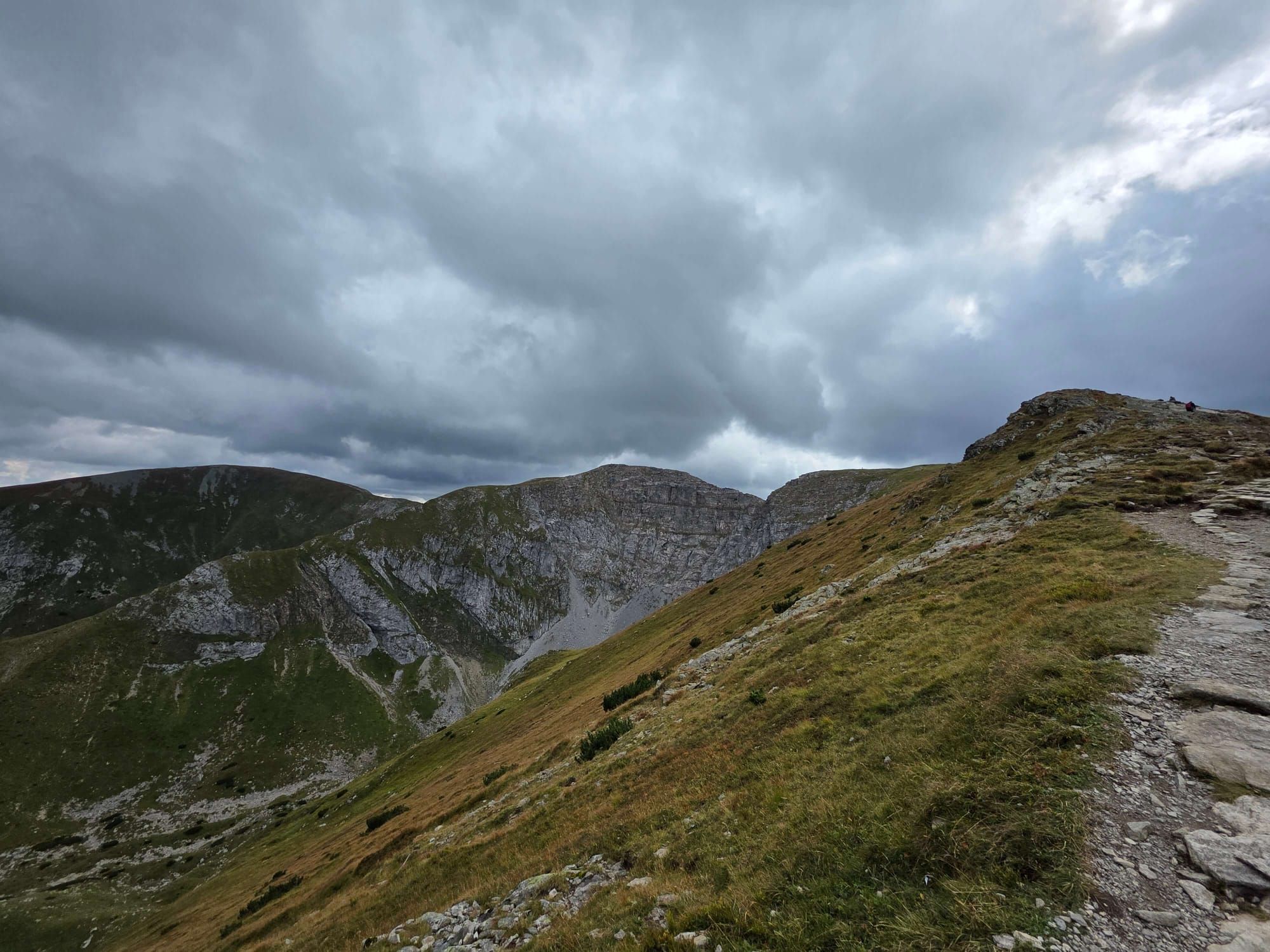
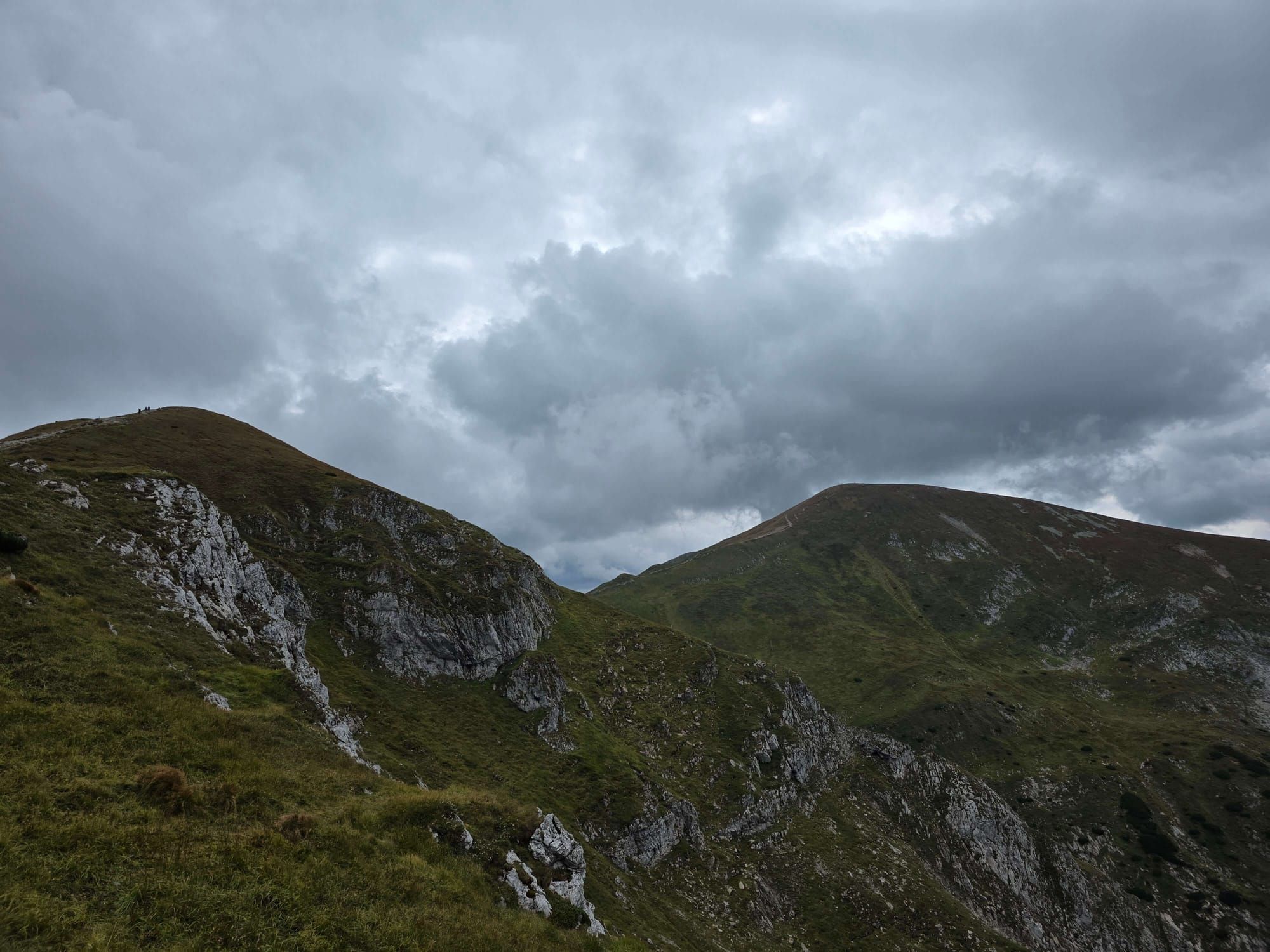
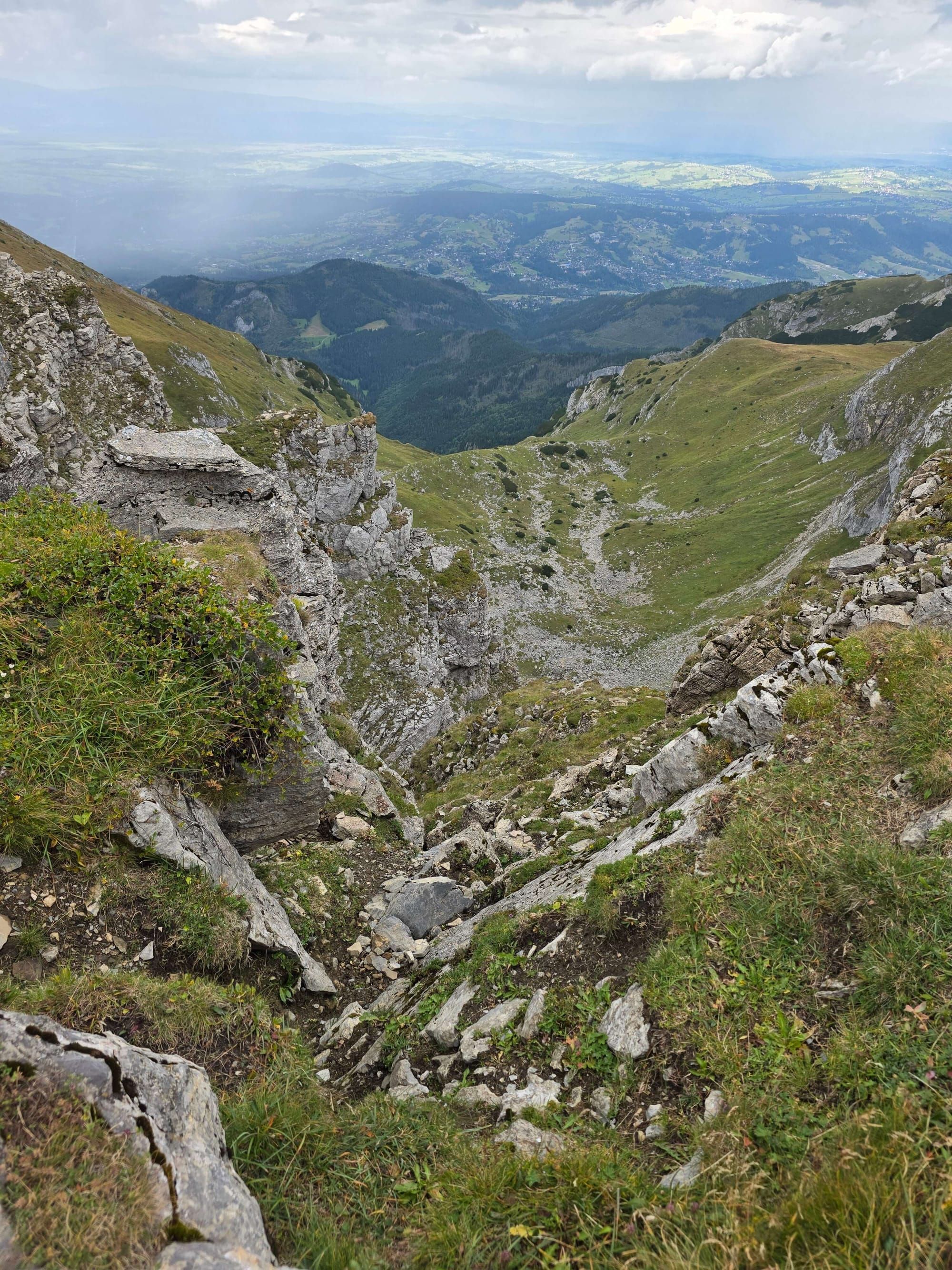
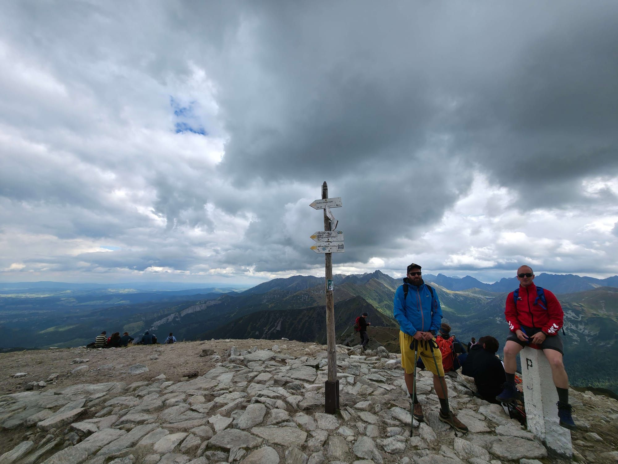
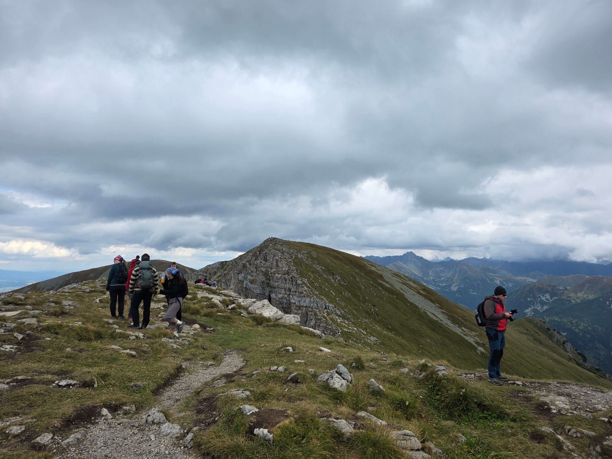
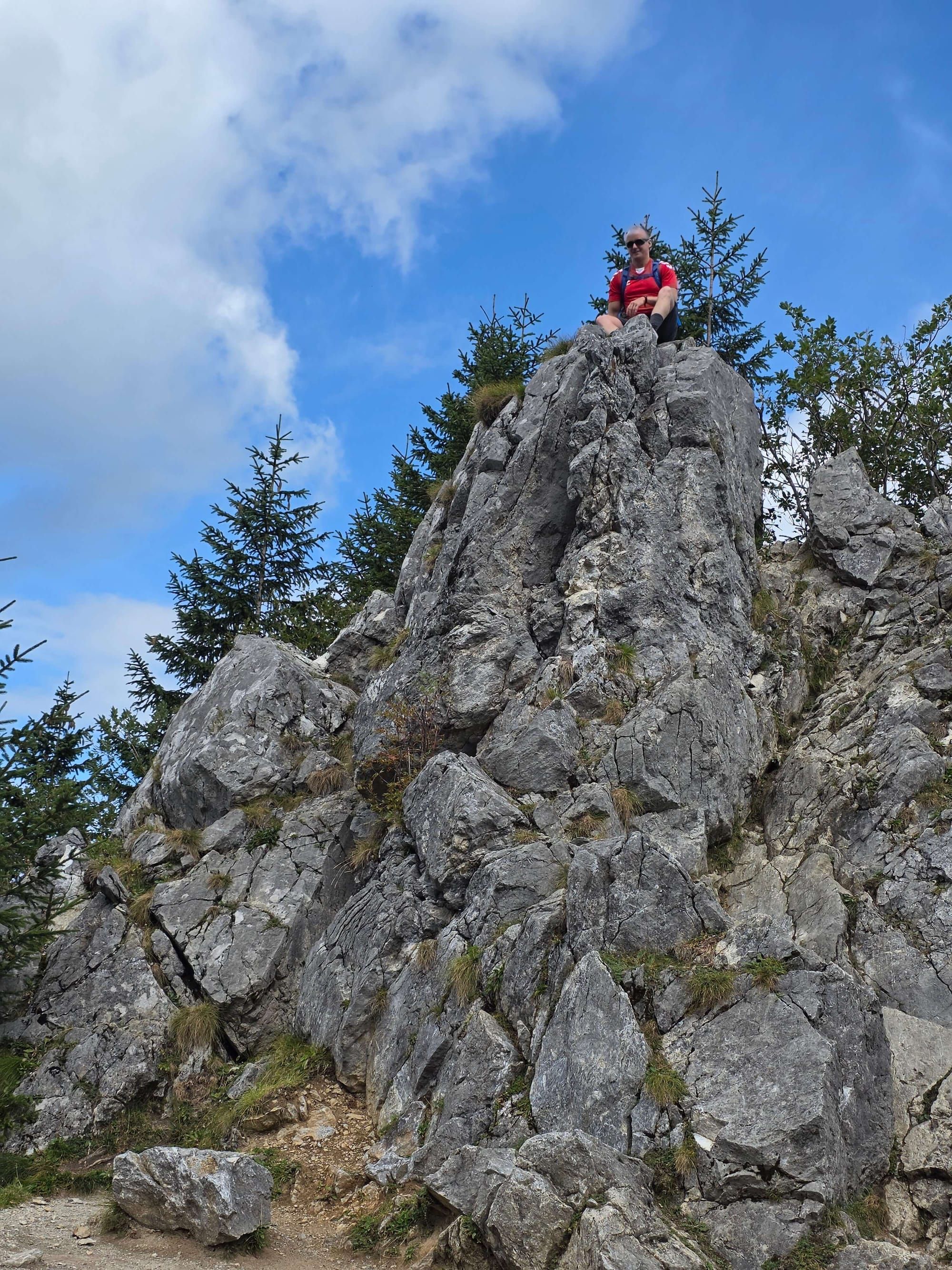
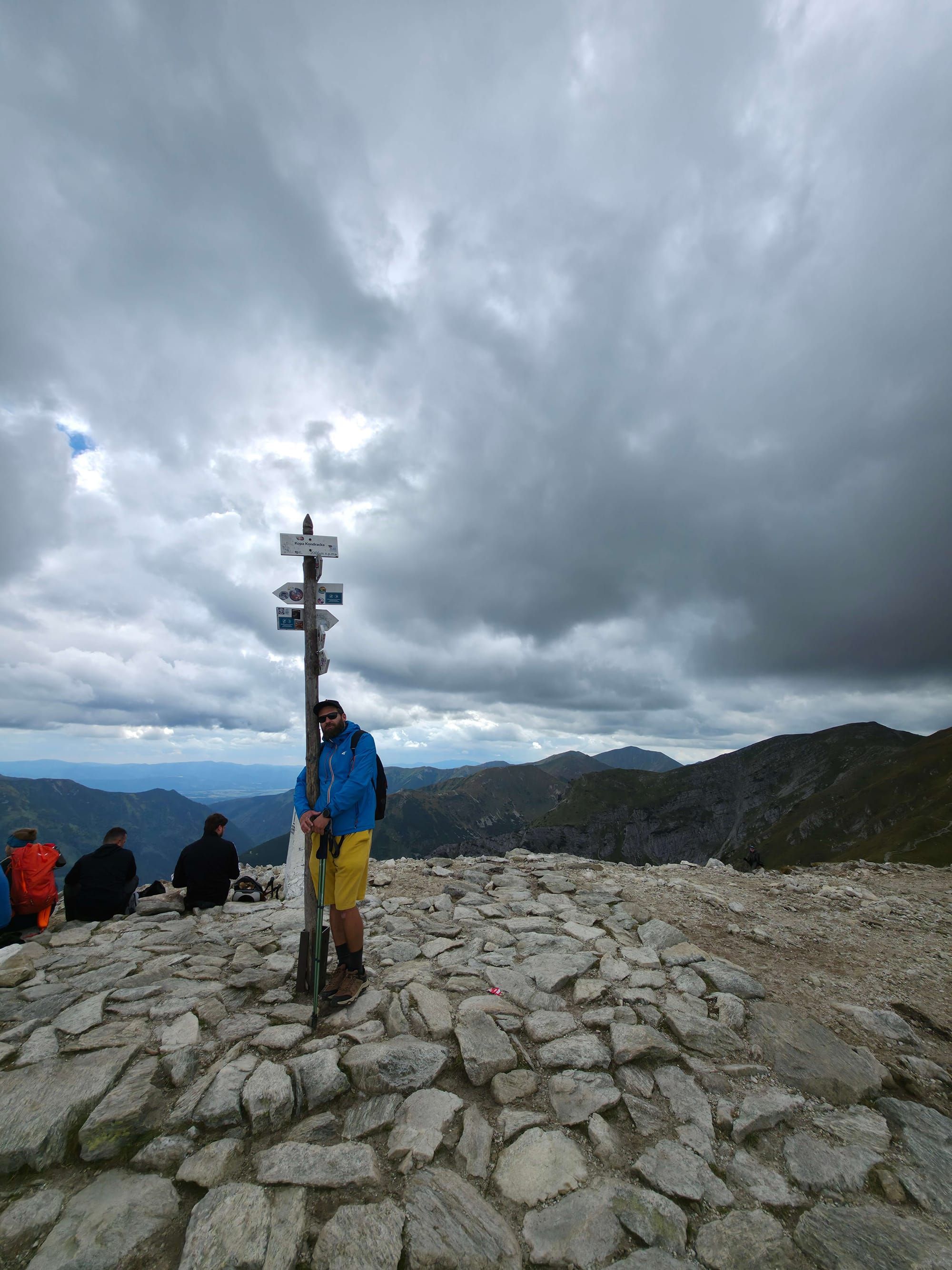
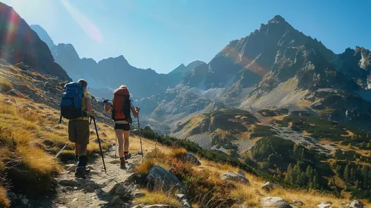
The gully (blue, about 1 h 50 min to the summit): Narrow between walls. Low down, a short chained step. On dry rock a fit hiker will pass without drama. After rain it is a mirror. Above: scree, then Czerwony Grzbiet — wide, grassy, Giewont to the side. The summit is flat. Do not test the north edge for a selfie.
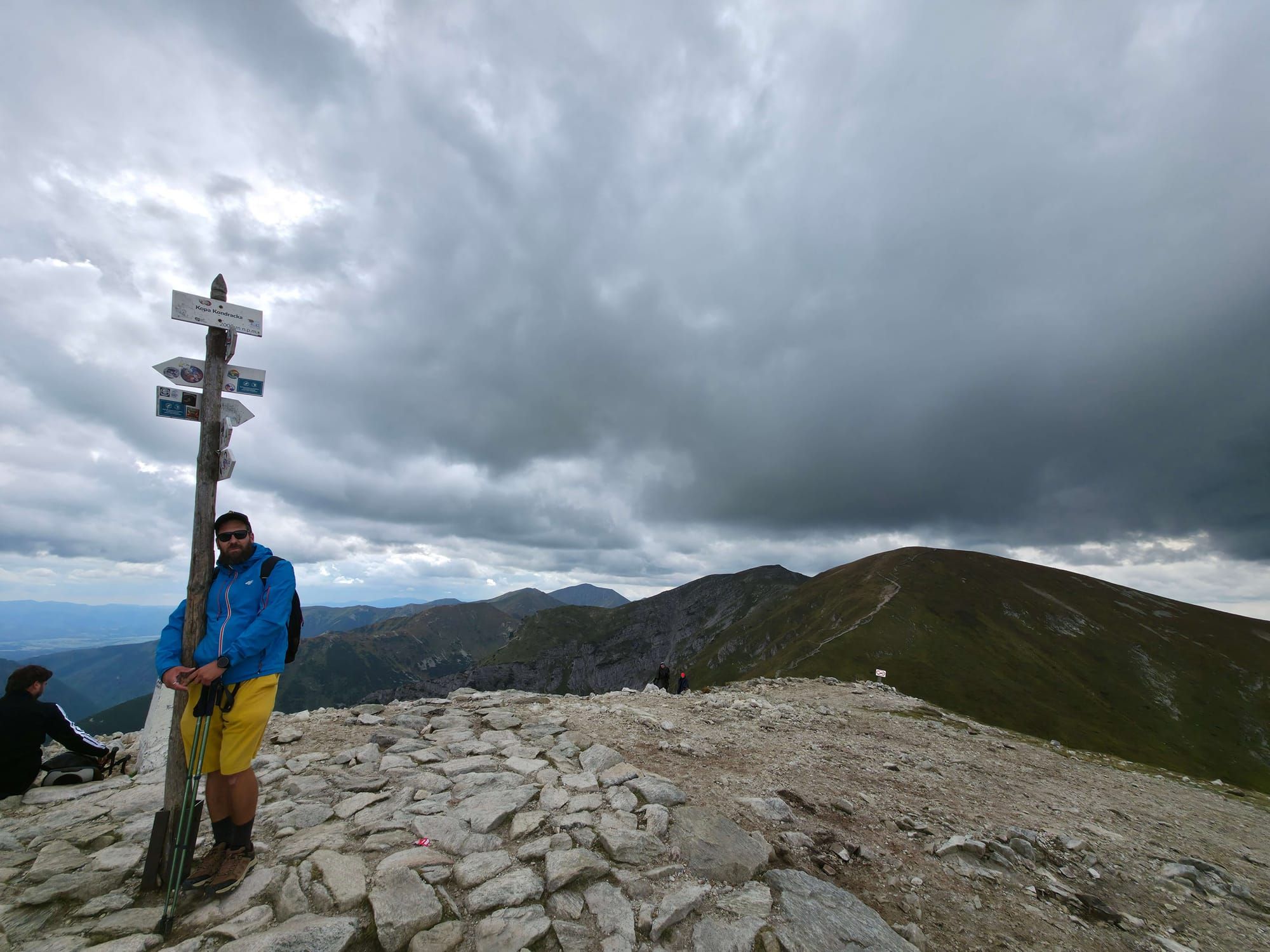
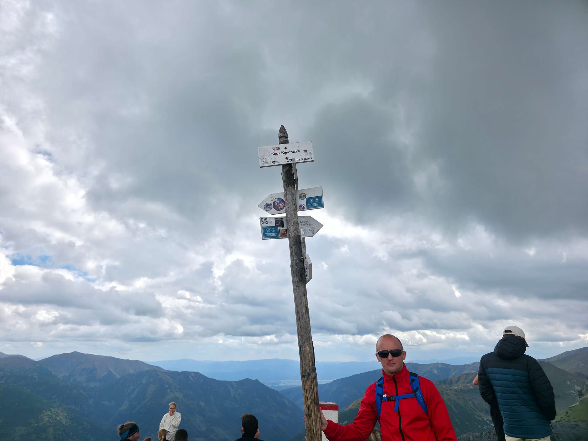
Descent: Red to Kopa (25 min), yellow to Kondracka and the valley. Do not return down the gully. Walking down that step is worse than going up.
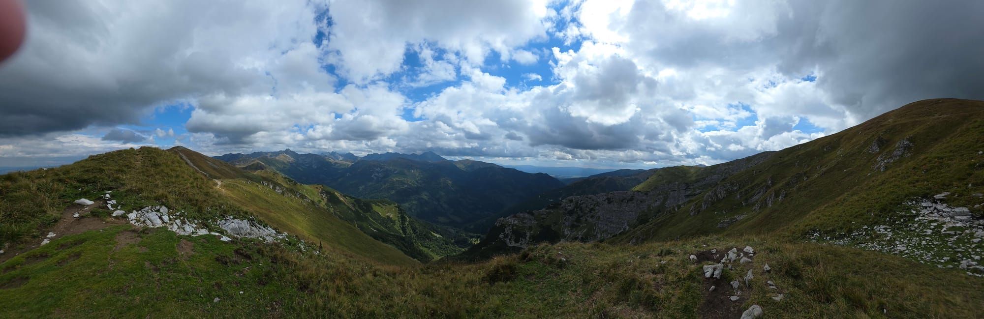
Panorama
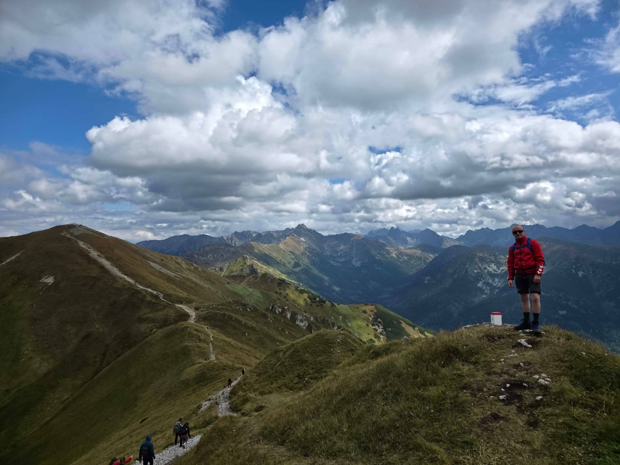
The climb onto Czerwone Wierchy
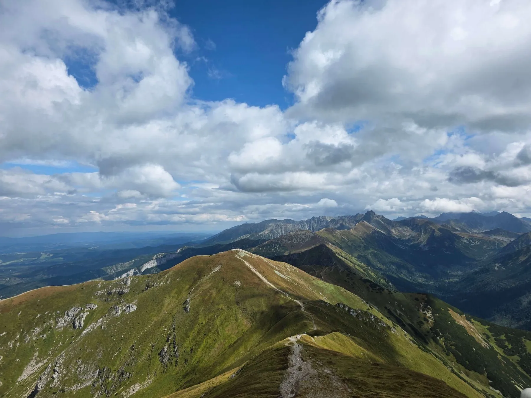
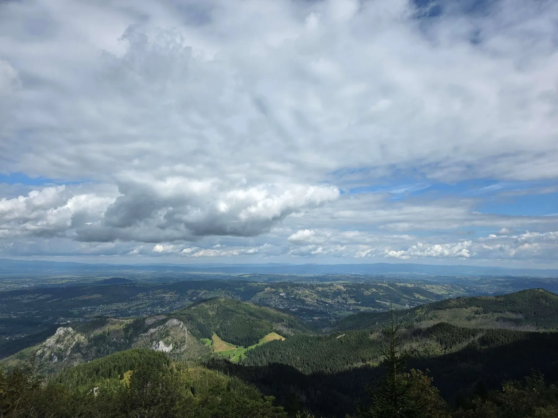
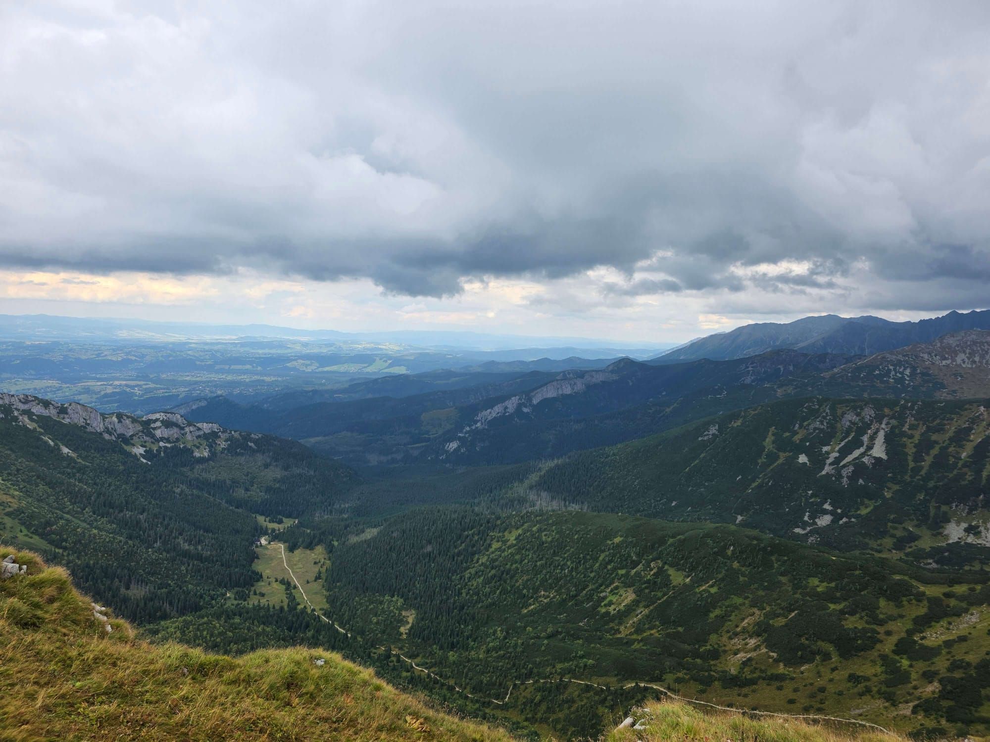
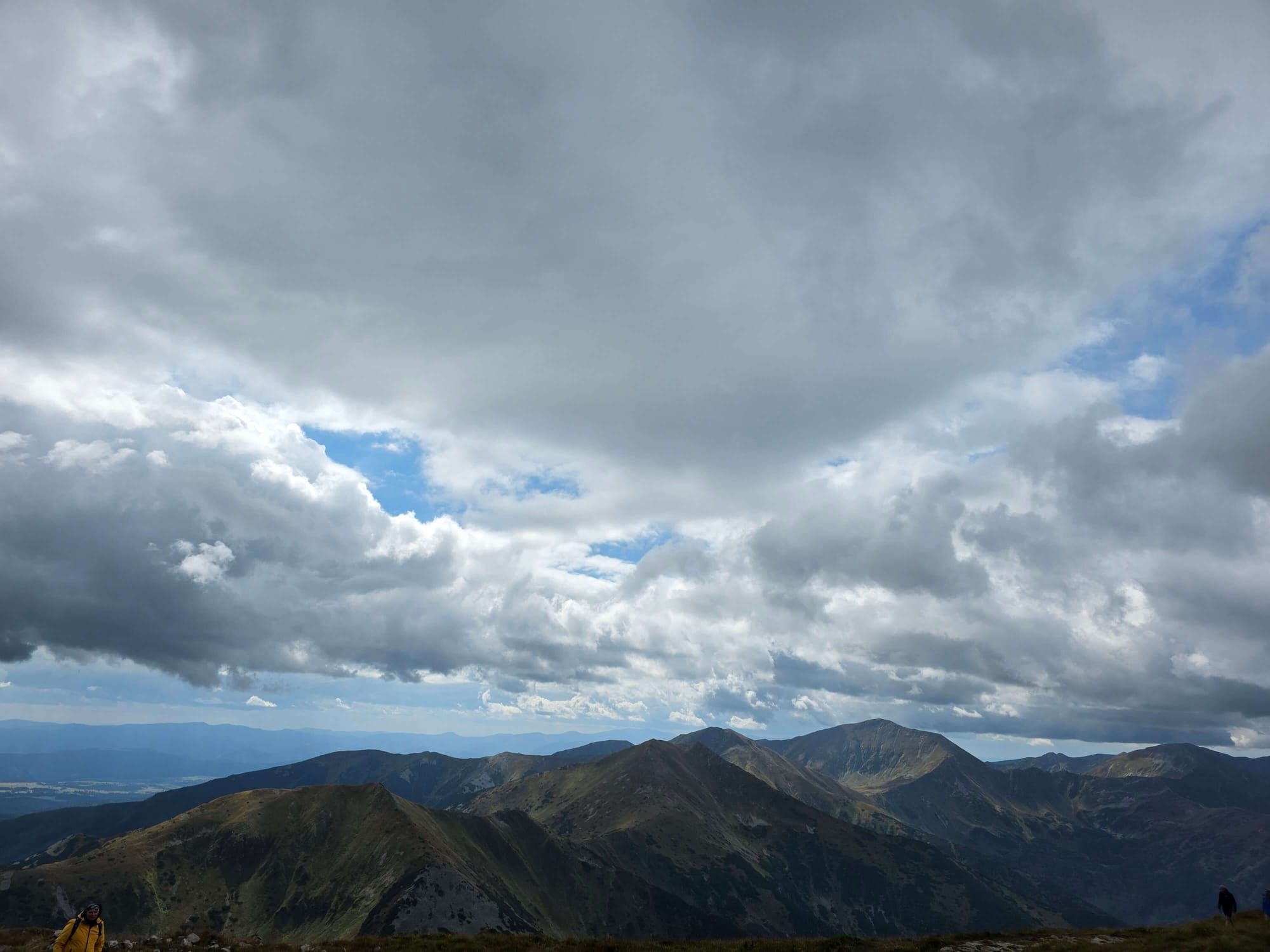
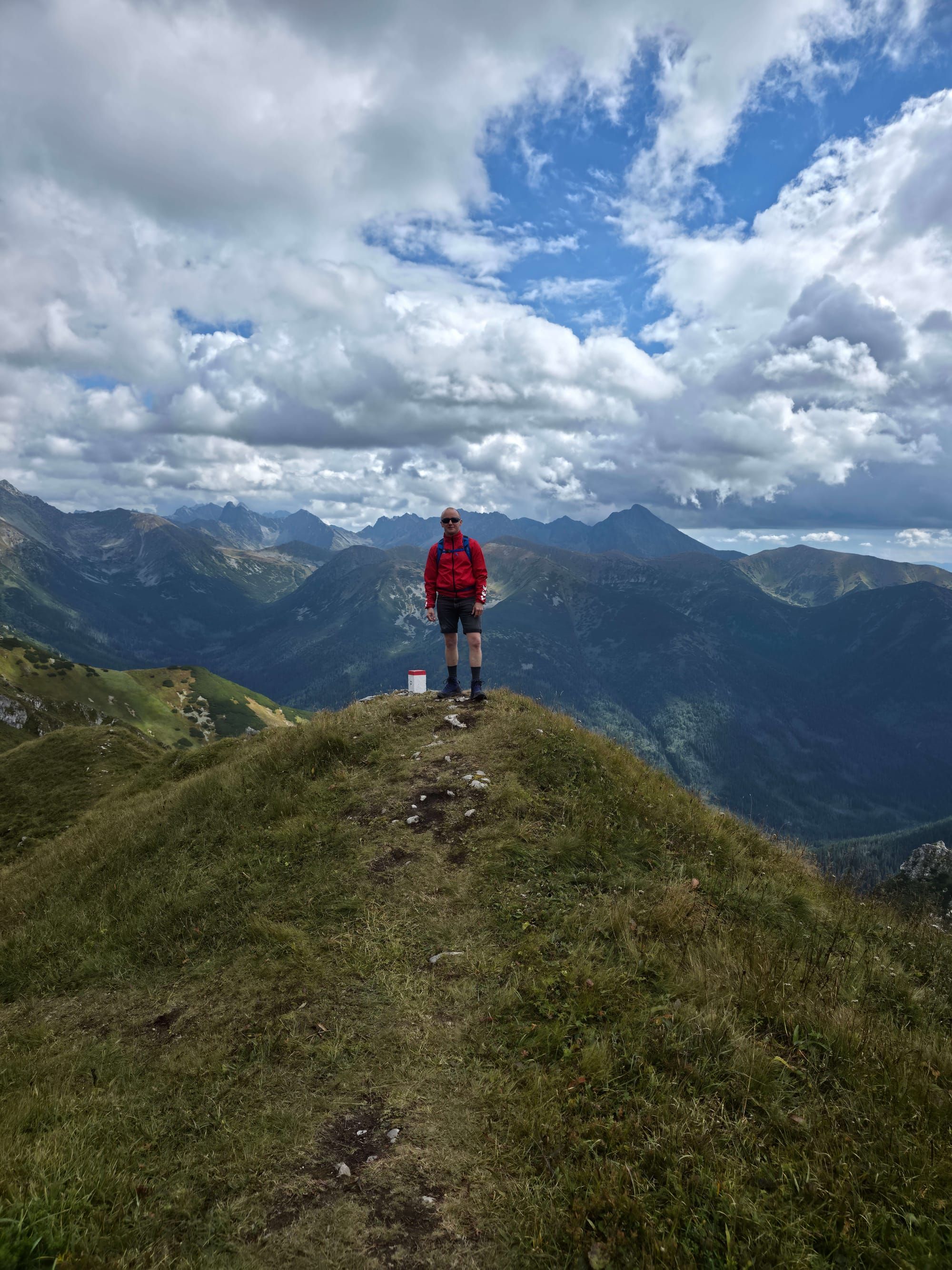
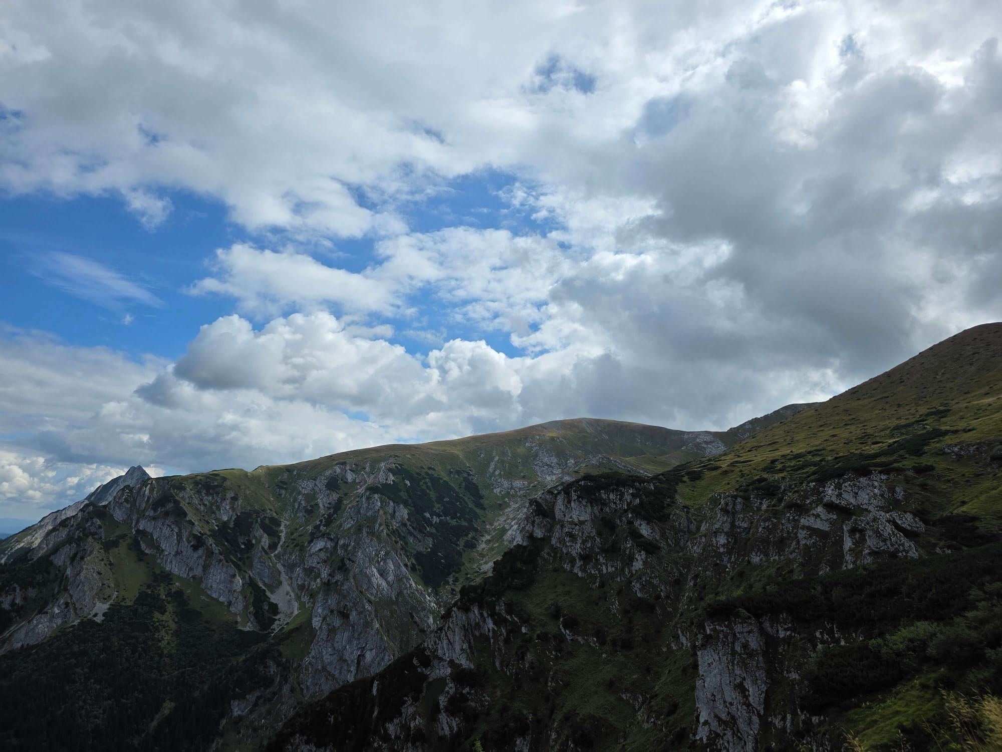
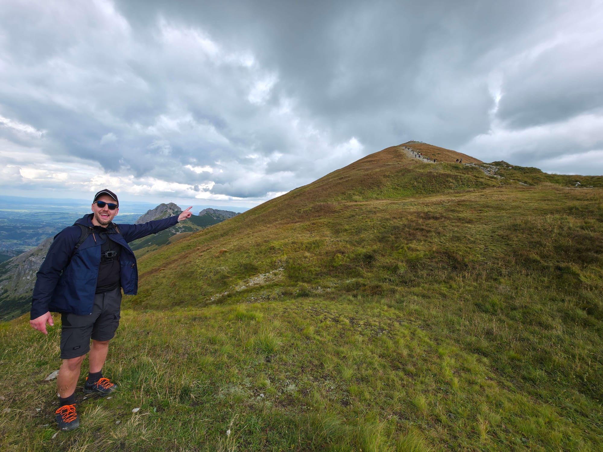
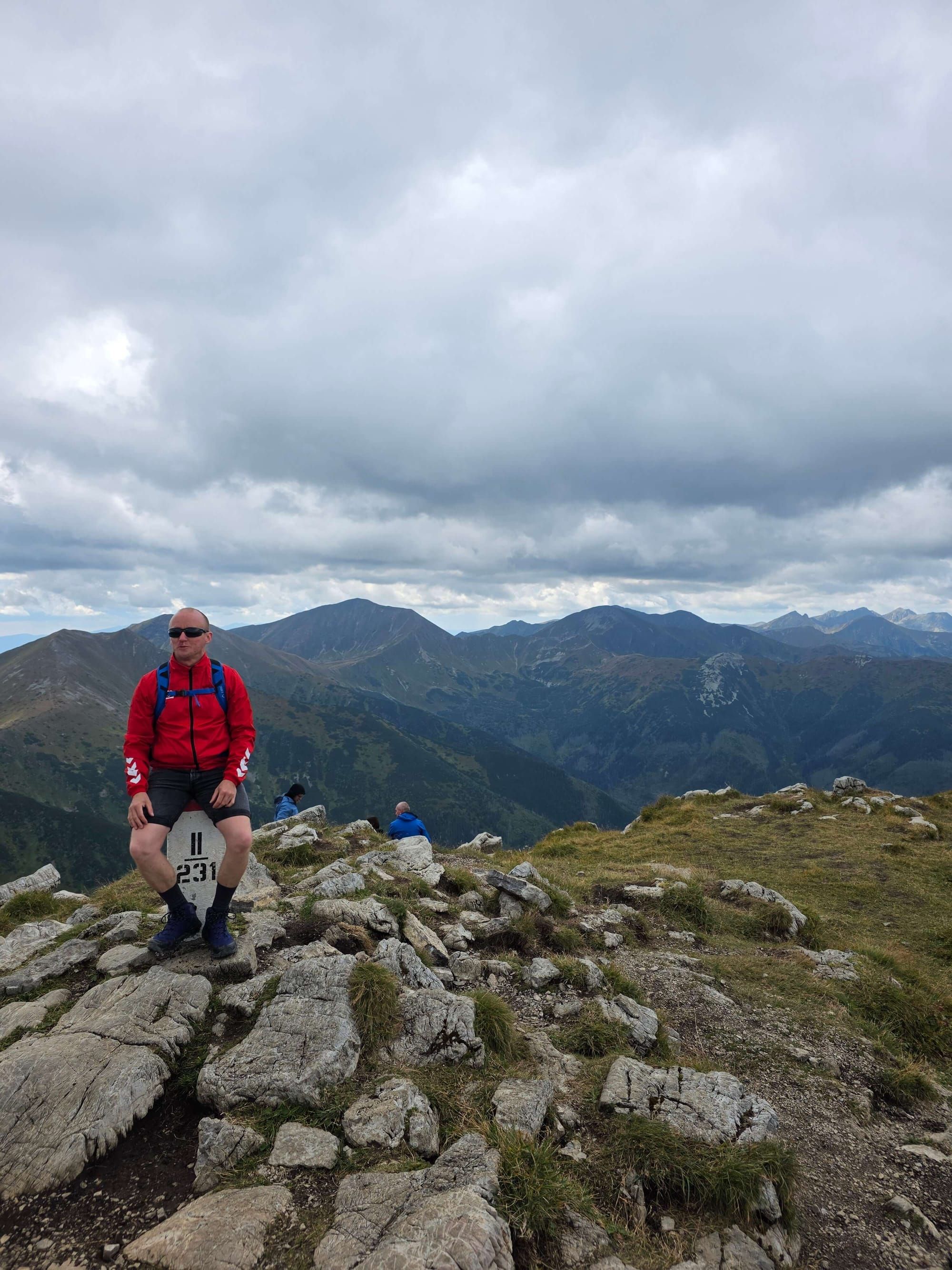
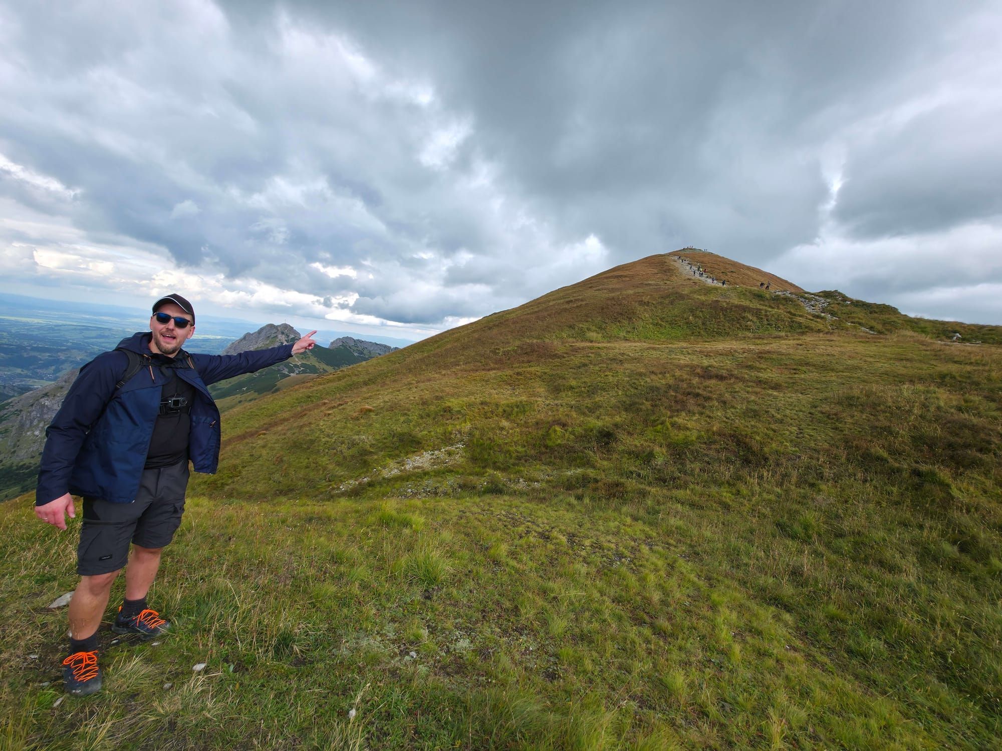
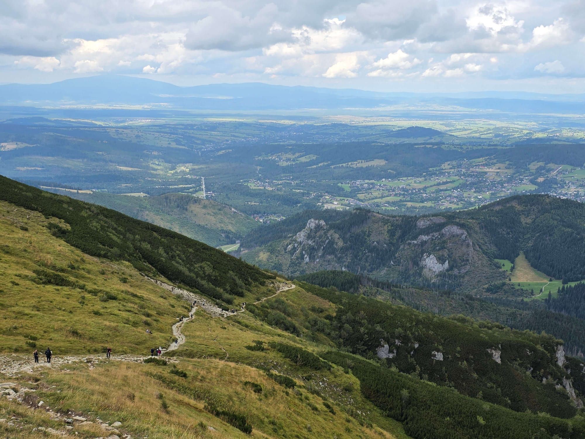
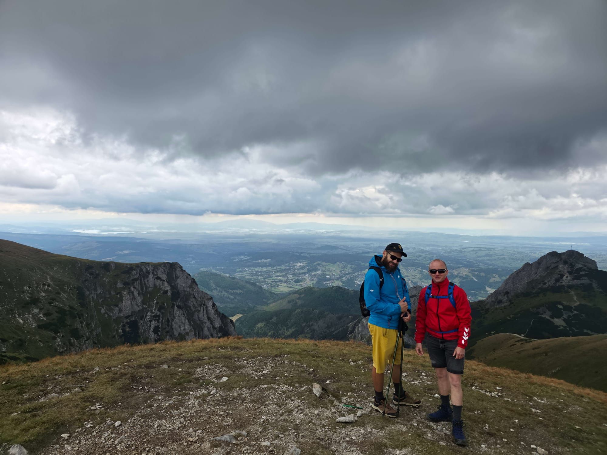
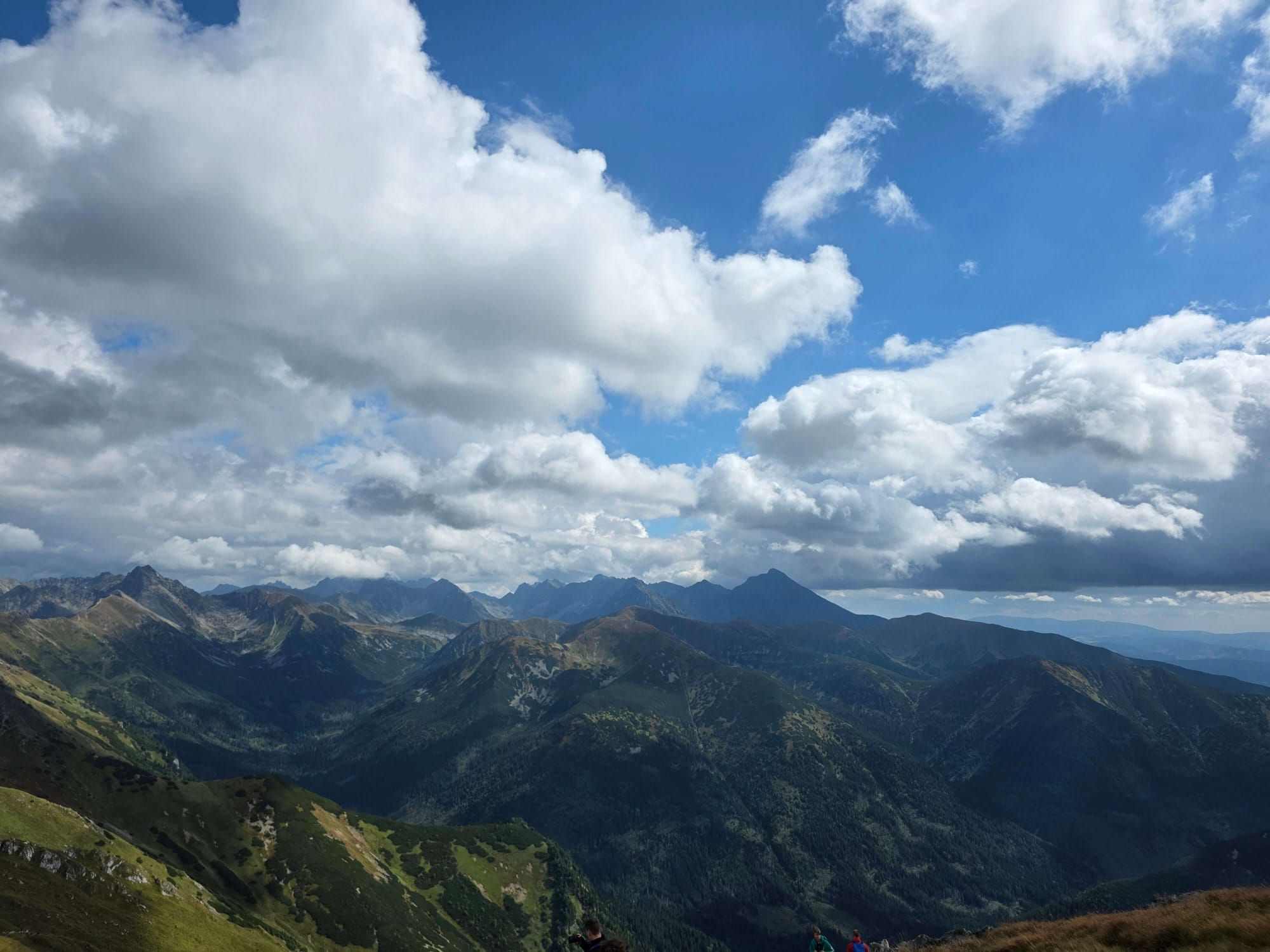
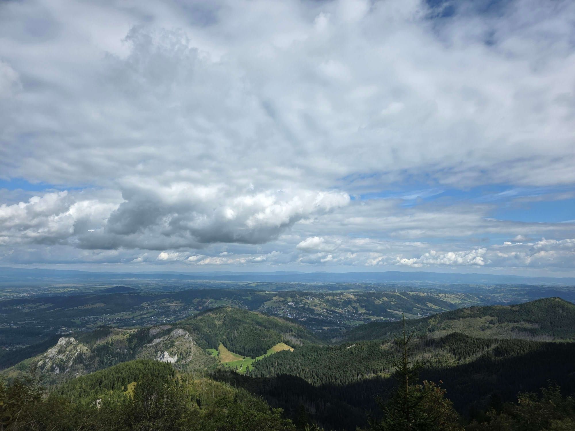
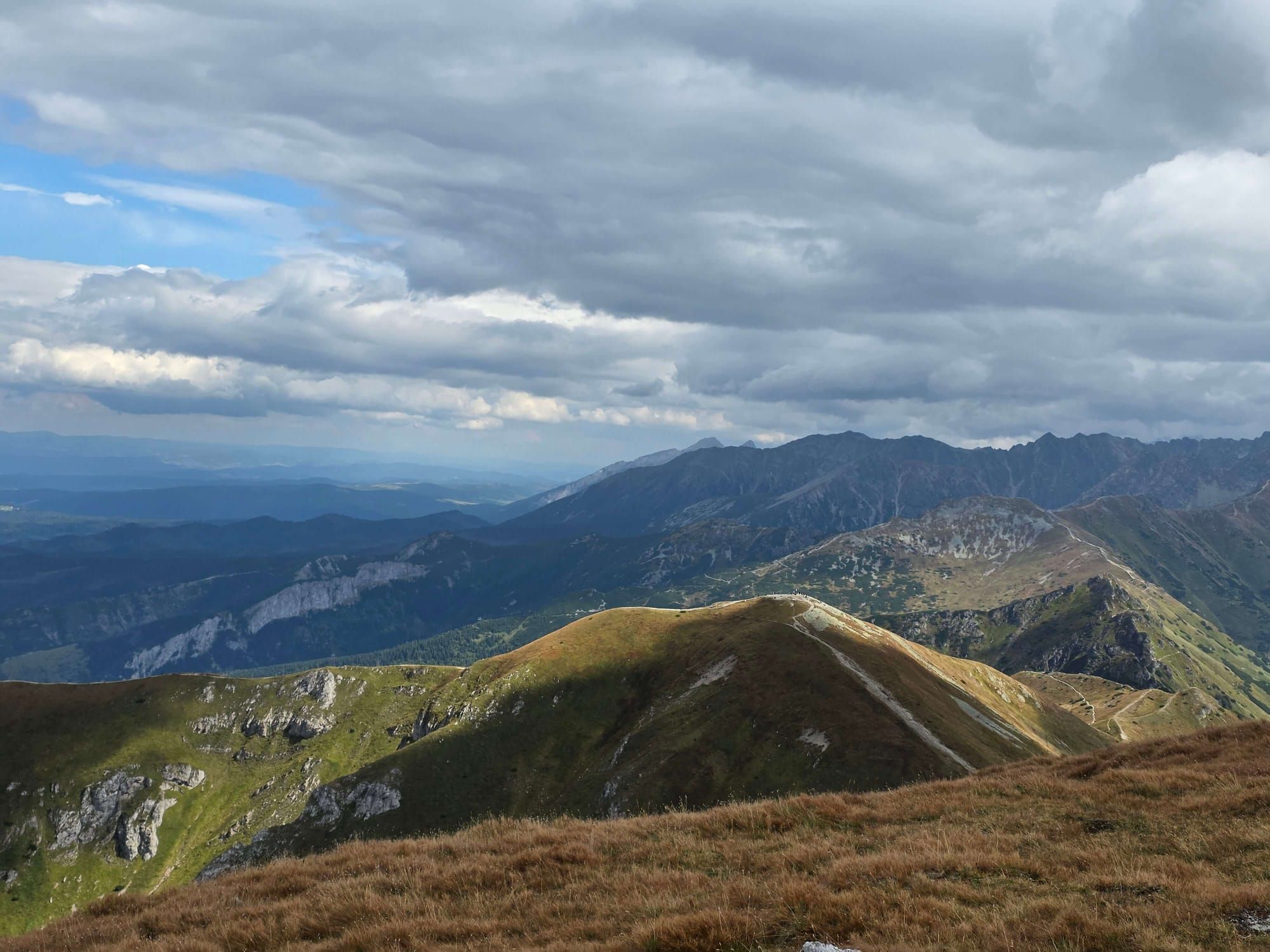
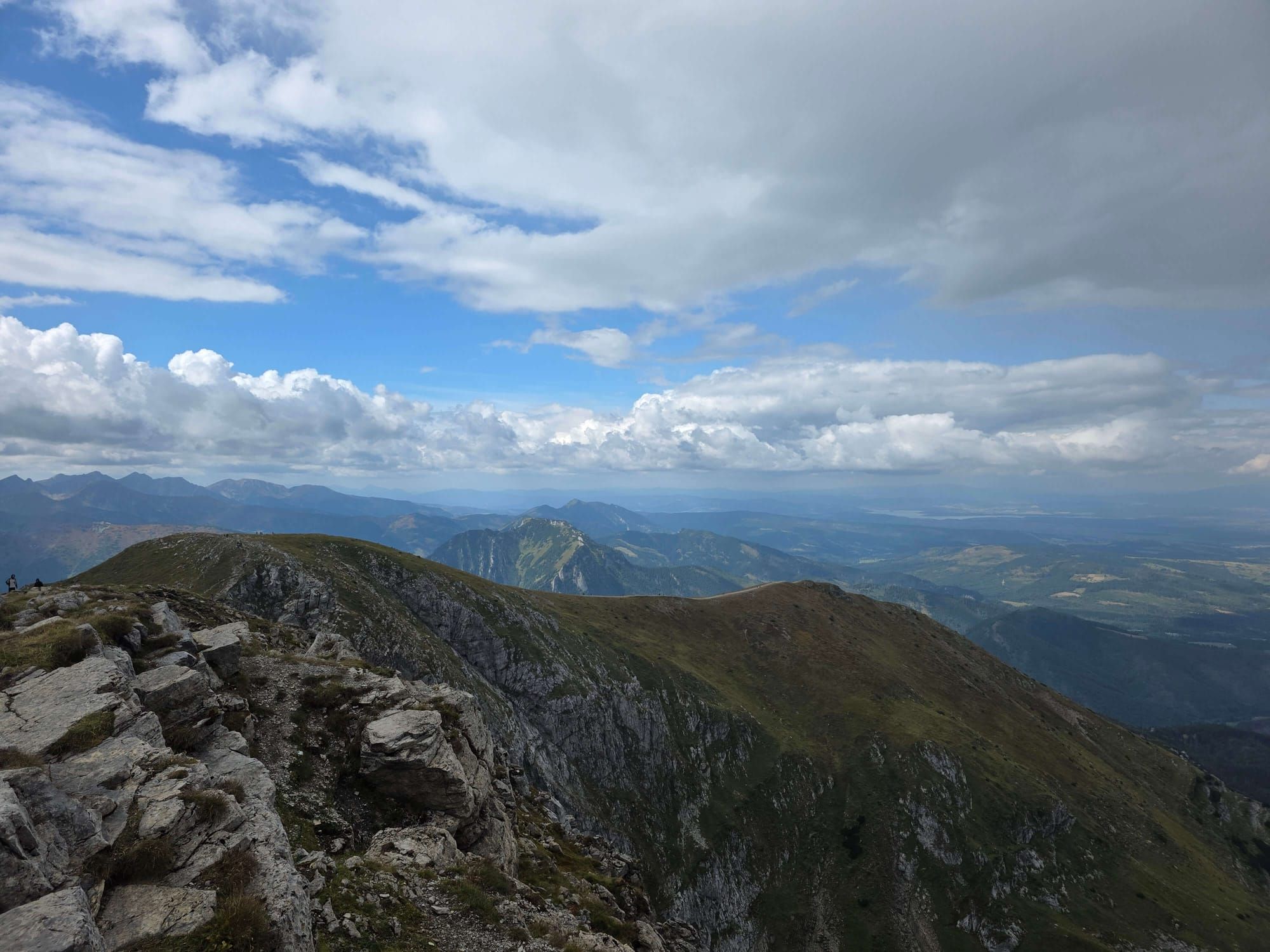
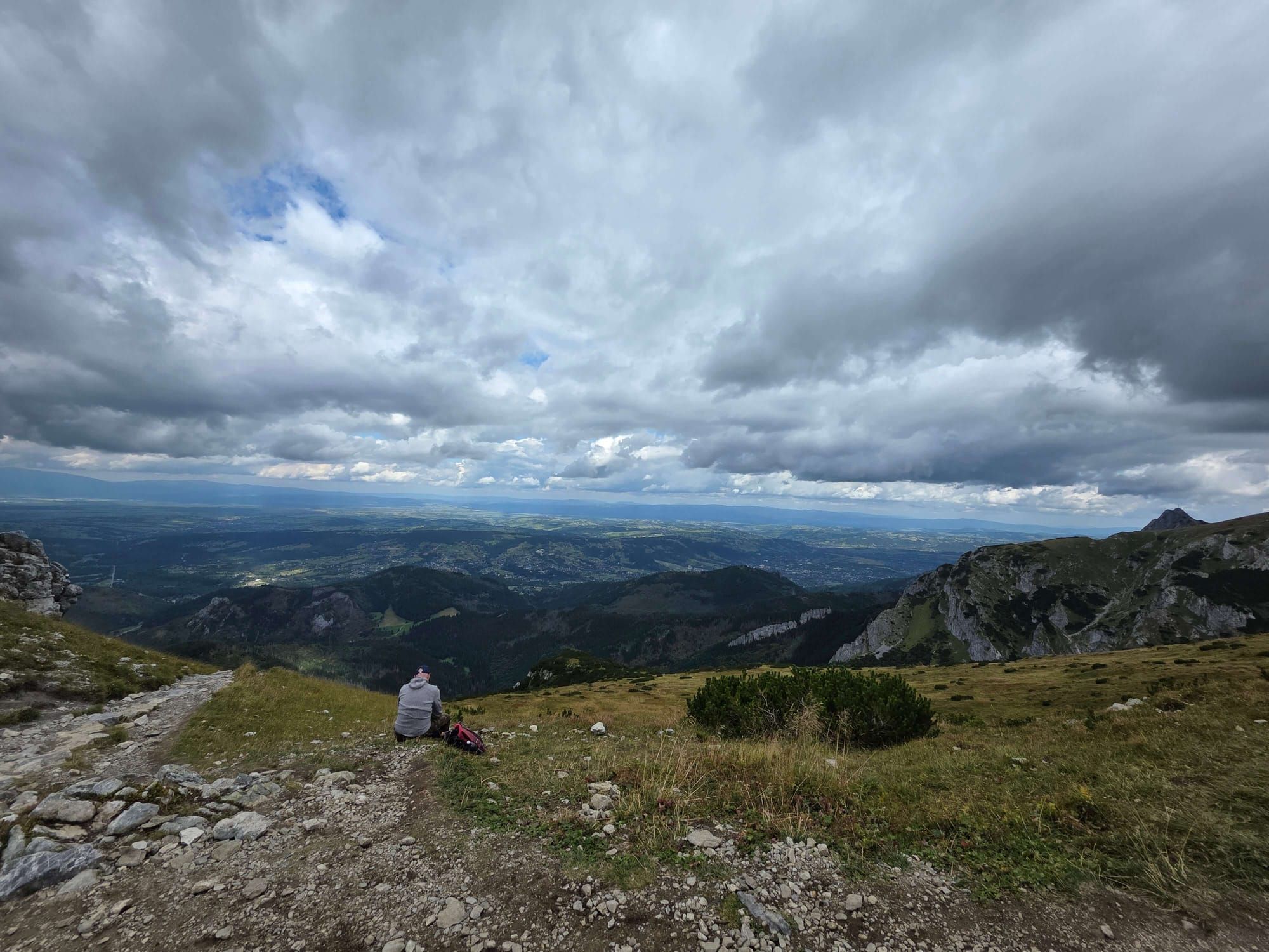
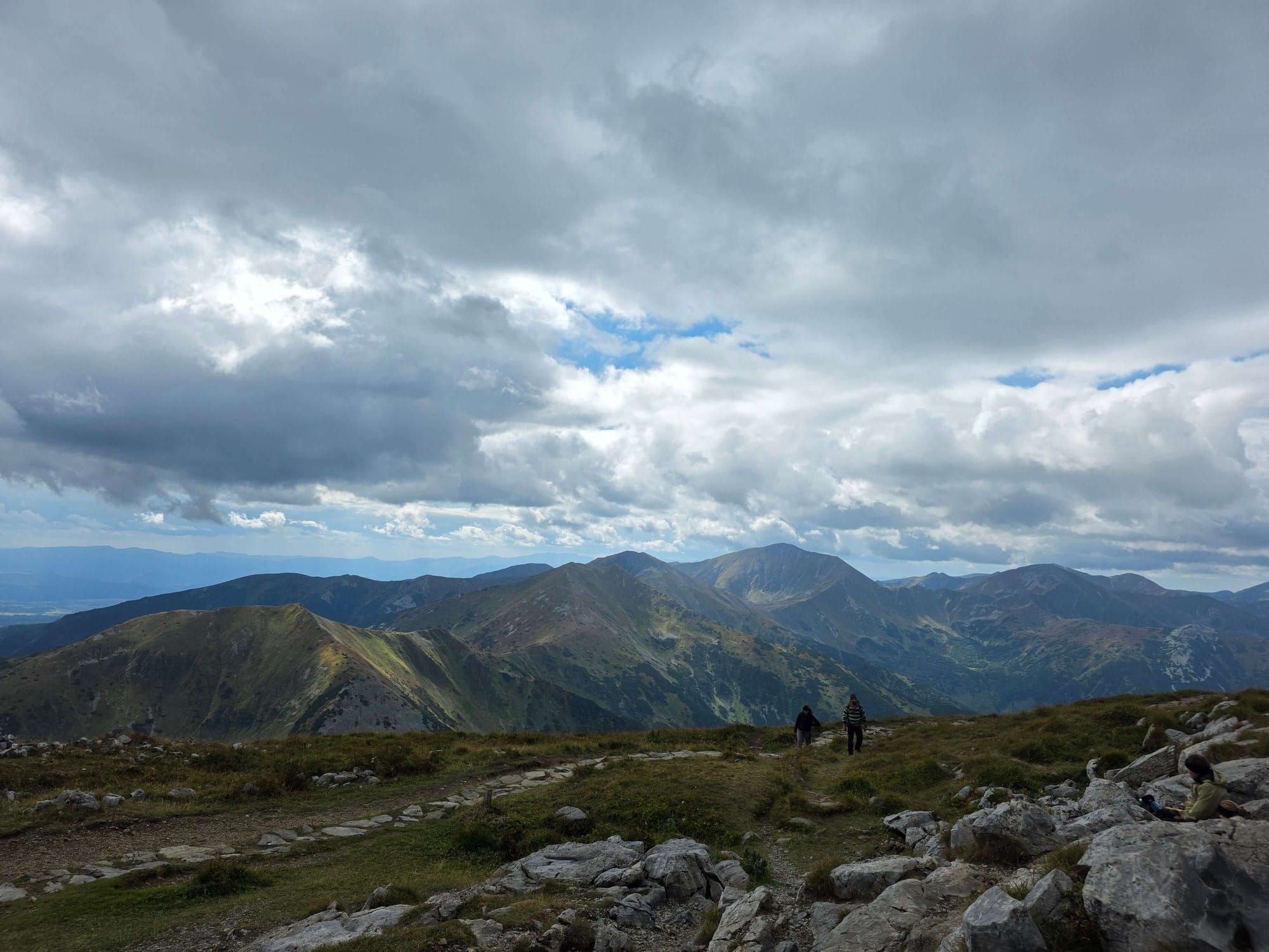
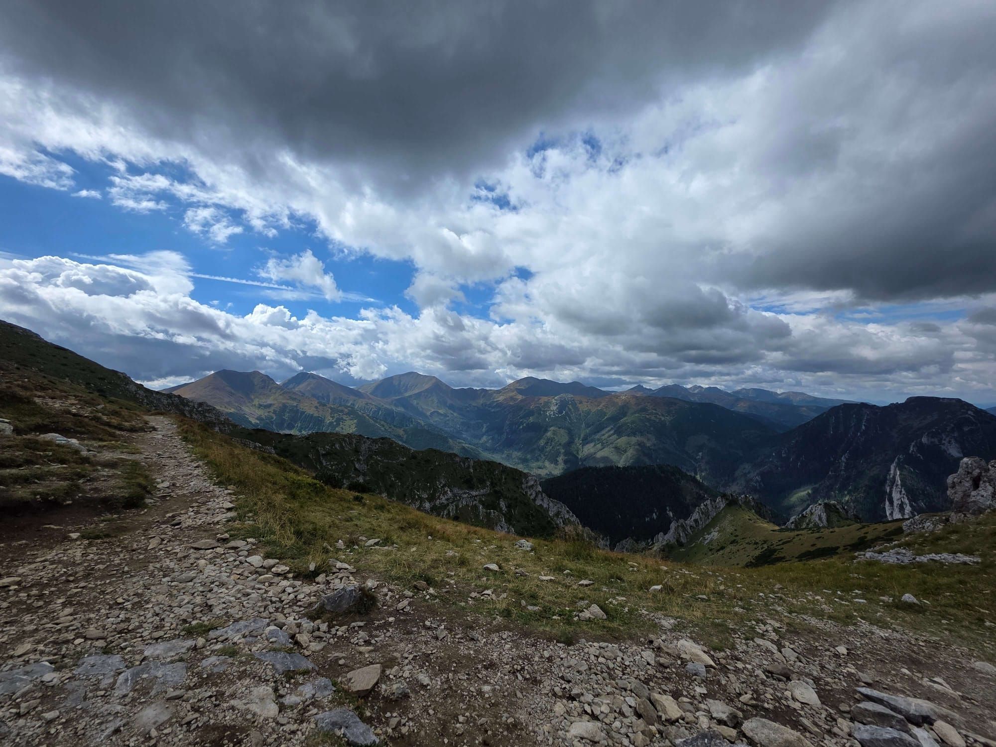
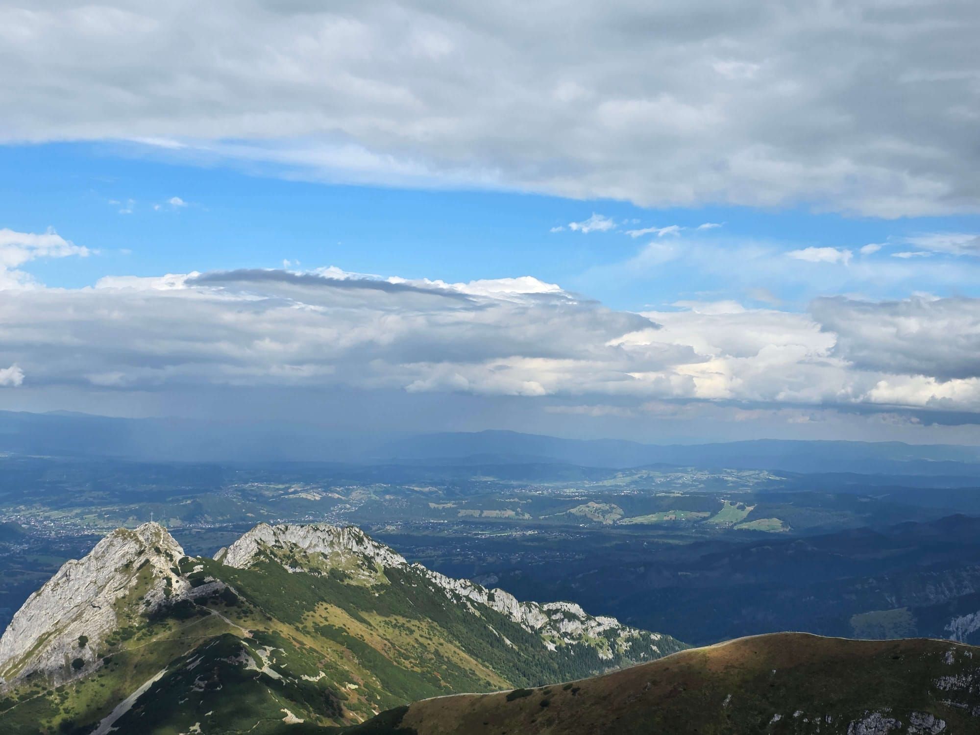
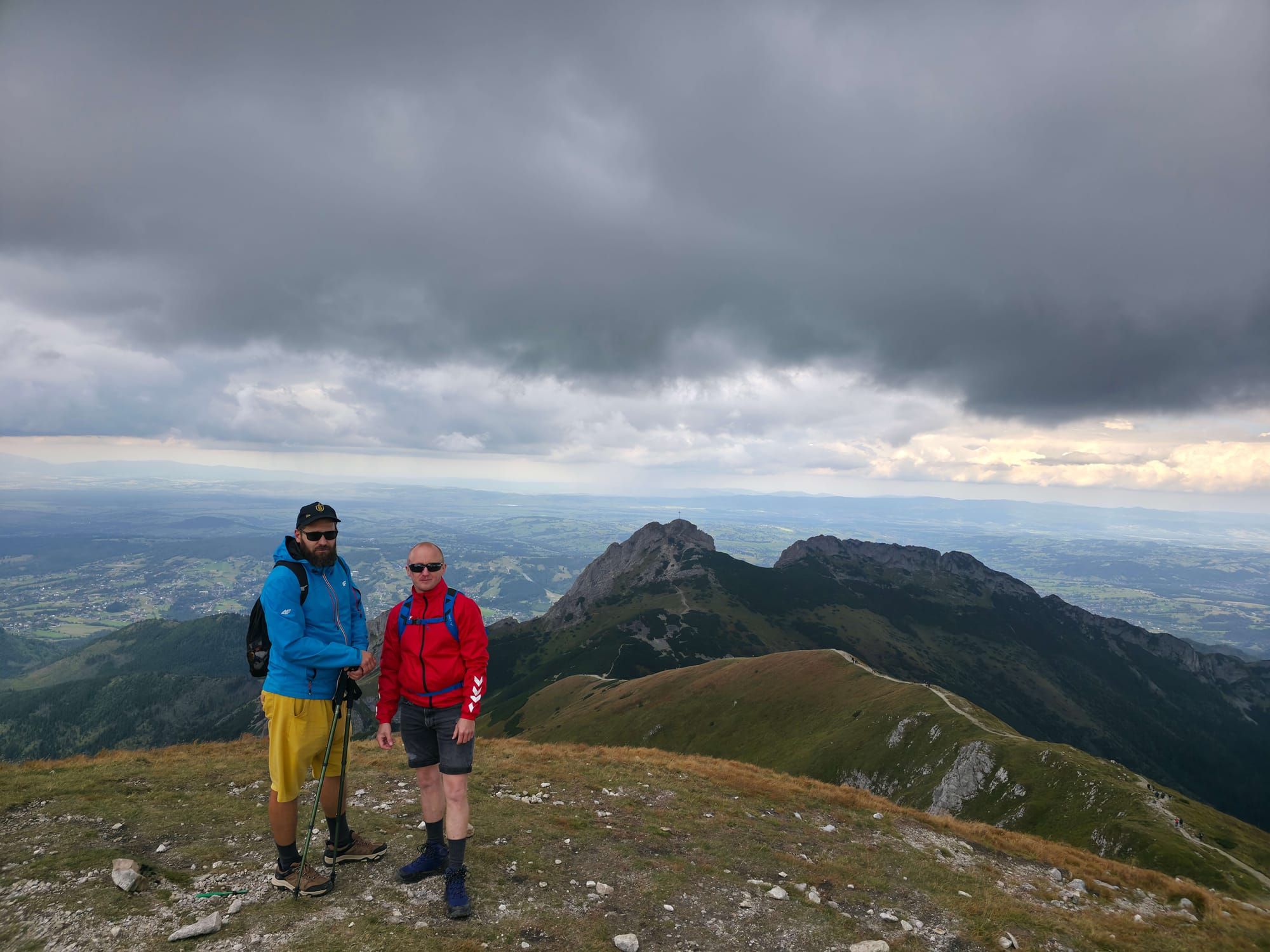
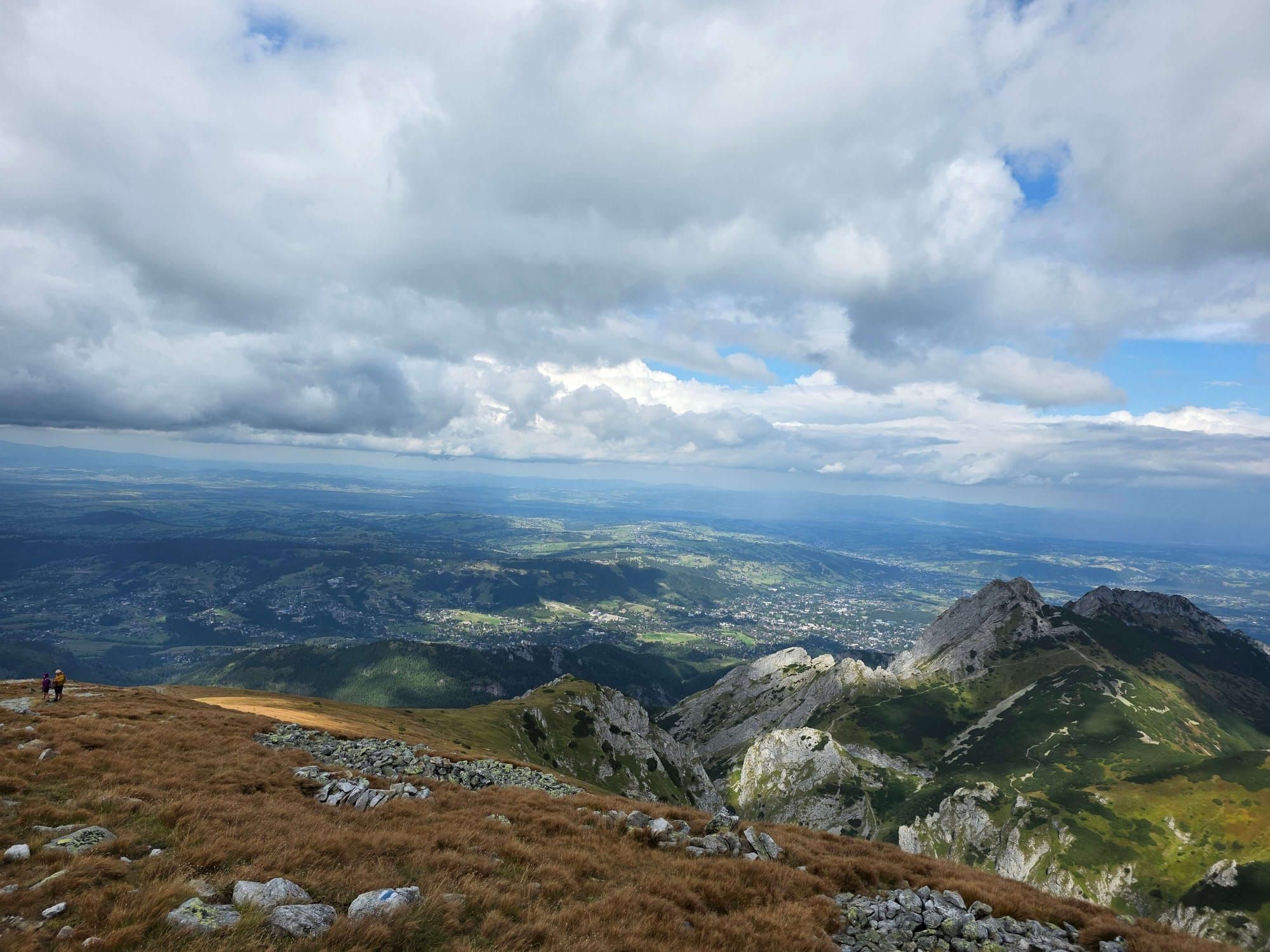
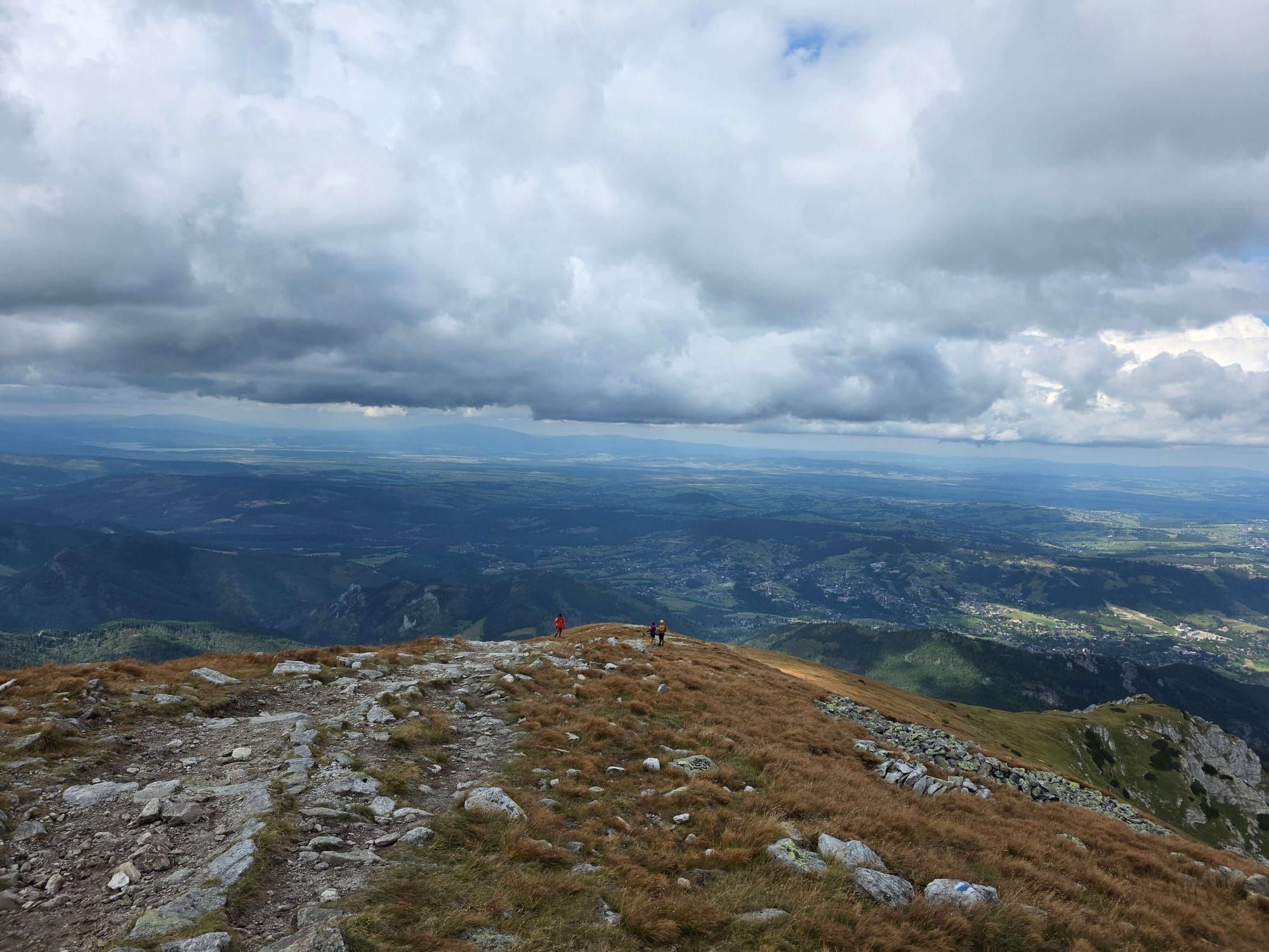
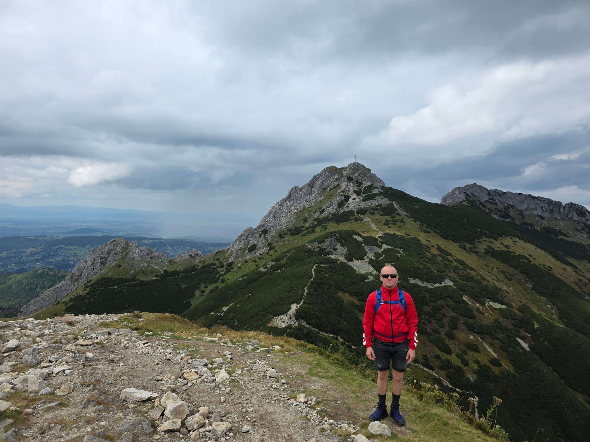
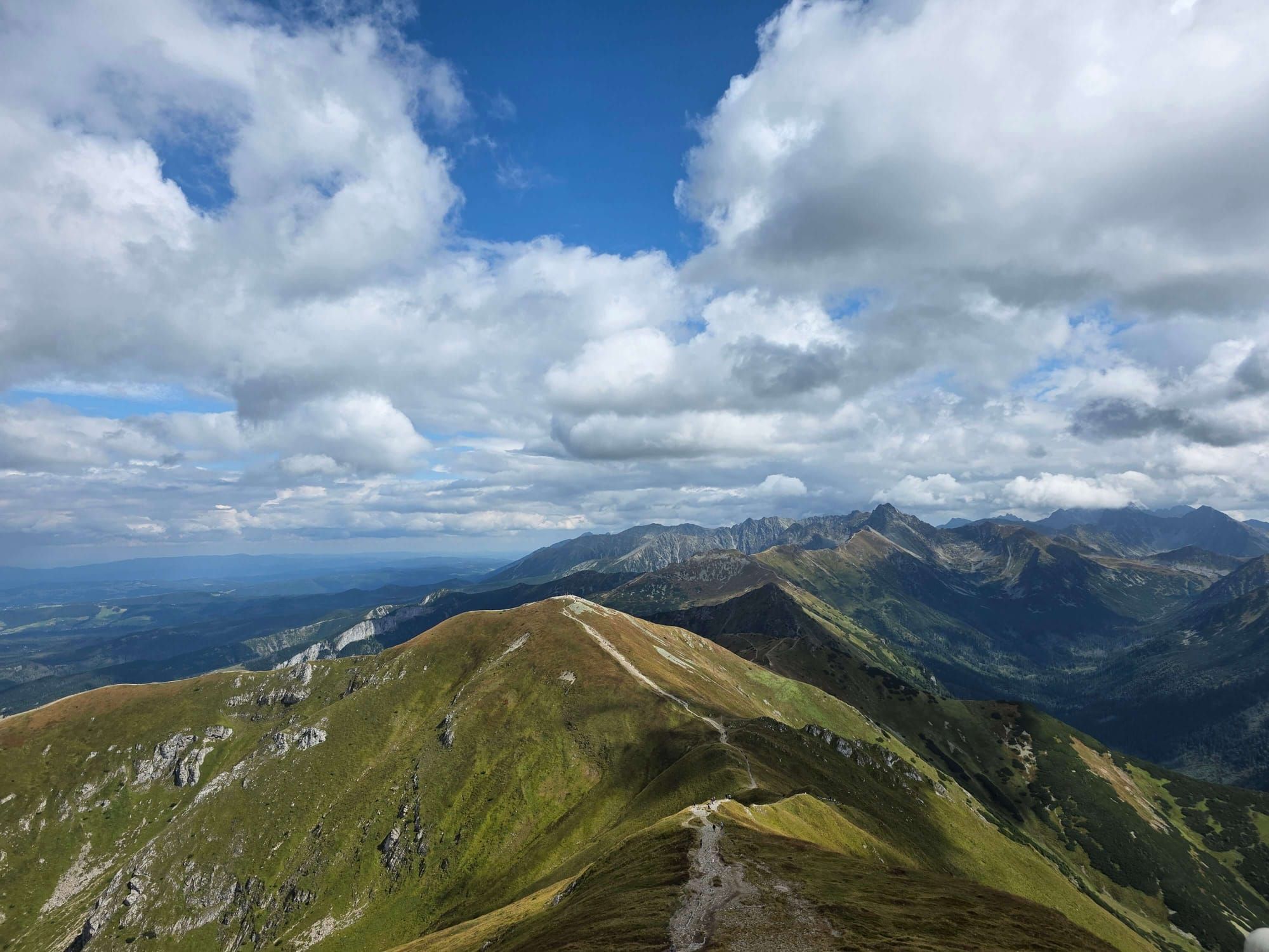
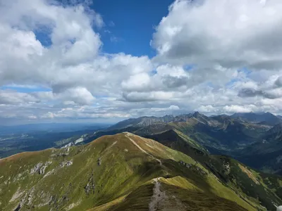
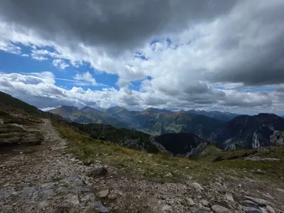
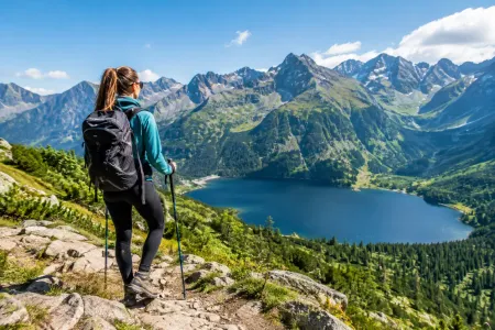
From Czerwony Grzbiet, Zakopane lies at your feet, Giewont from above. South: the High Tatras. The reward is the same as on yellow. The difference is the gully, not the summit.
Warnings
Chain: a step, not an exam before Rysy. Wet limestone means you turn around. Not “I’ll learn on the day”.
Fog on the ridge: the slopes are gentle, then a cliff. Stay on the marks, do not “feel your way to the meadow”.
Water: nothing after the stream in the valley. Two litres, not a sip at the car park.
Storms: the ridge is open. Dark clouds mean you go down yellow, you do not look for a shortcut in the gully.
Descent and logistics
The map closes the loop in Gronik. Same car park. TPN ticket at the mouth or online. No dogs on this page.
If someone is already sitting down at Przysłop — you go back. The gully does not get gentler higher up.
Segment times
From the map:
Gronik – Przysłop Miętusi: 1 h
Przysłop – Kobylarz: 1 h 10 min
Kobylarz – summit: 1 h 50 min
Summit – Kopa Kondracka: 25 min
Kopa – Gronik (yellow): 3 h 01 min
7 h 27 min is clean walking time. A holiday day with a break on the ridge is 8–9 hours.
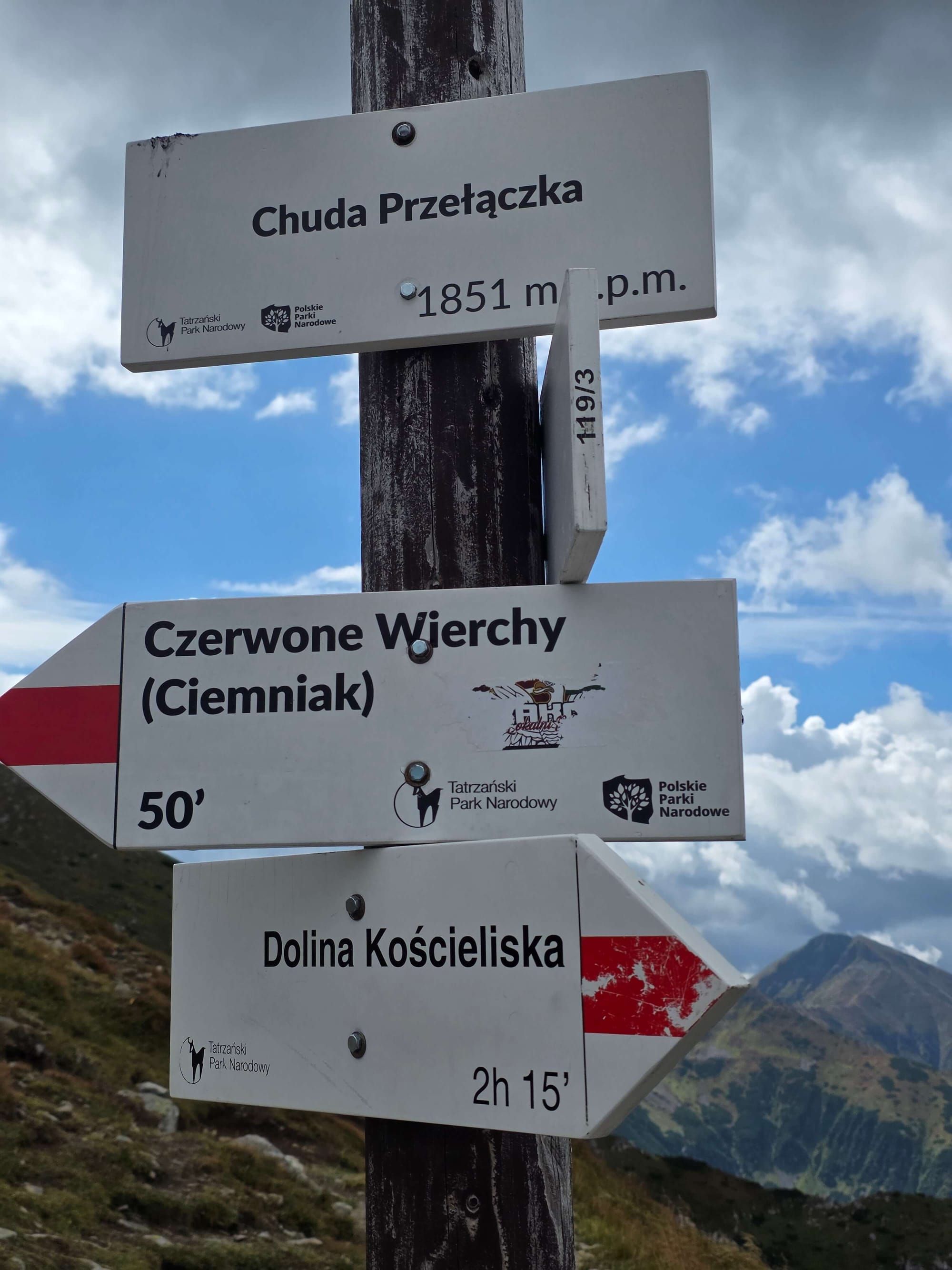
Czerwone Wierchy — the whole ridge, Małołączniak on the way, still no chain on the red trail.
In winter
The gully in winter is avalanches and ice on the step, not “the same trail in a hat”. If you do not hike in winter regularly, leave Małołączniak for a snow-free season or go only as far as Przysłop.
Who this is not for
Not for a first chain in your life if it has rained. Not with a fear of heights hoping the step “is short, so it is nothing”. Not a descent of the gully because the climb felt easy.
If you want a 2,000 m peak from Mała Łąka without technique, stay on the Małołączniak via Kondracka page. The gully is a variant, not the default way up.
🎯
What to see
✨Kobylarzowy Żleb
✨Czerwony Grzbiet
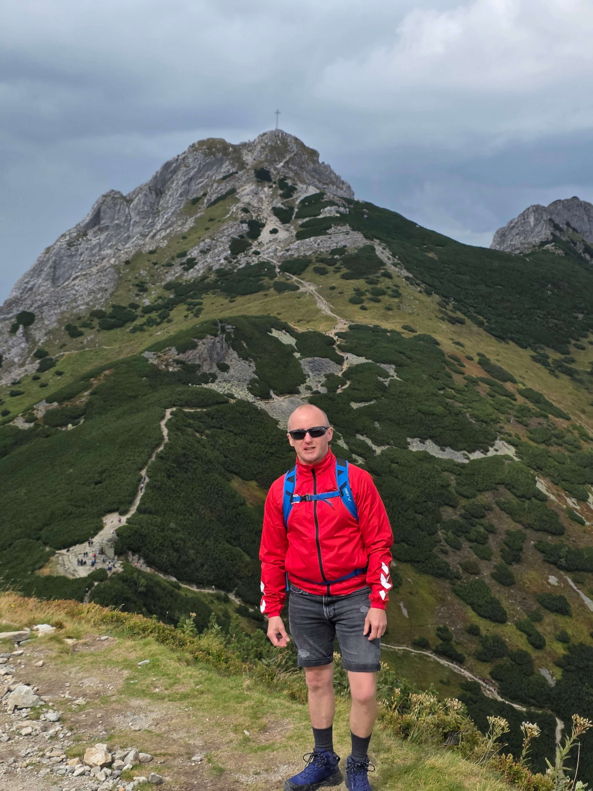
✨Giewont from above
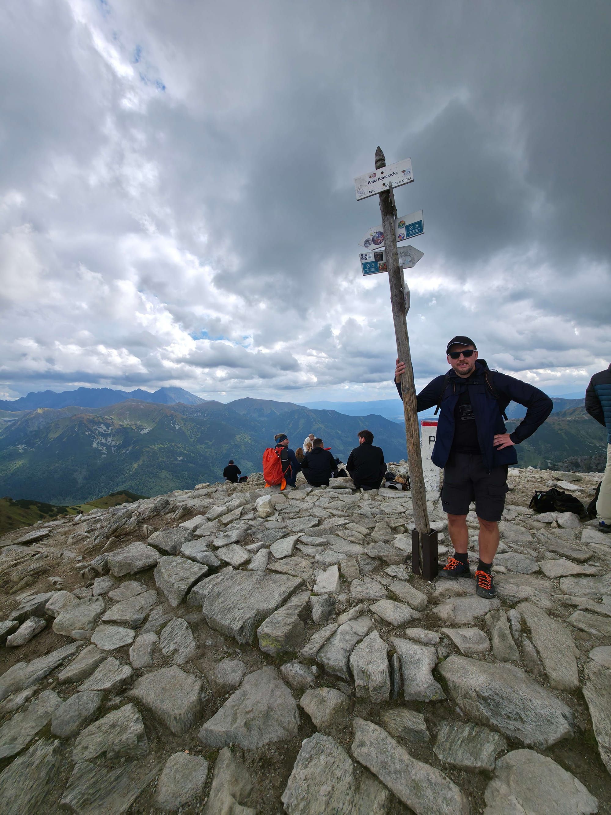
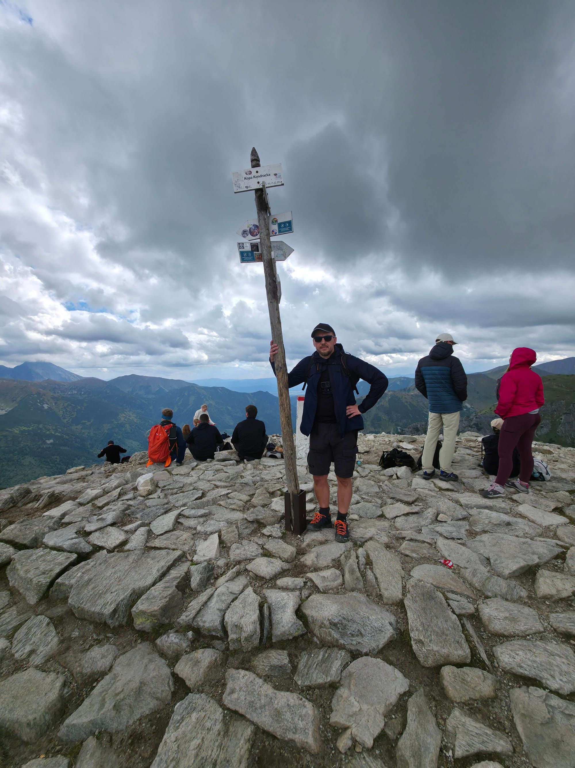
✨Kopa Kondracka on the descent
📸
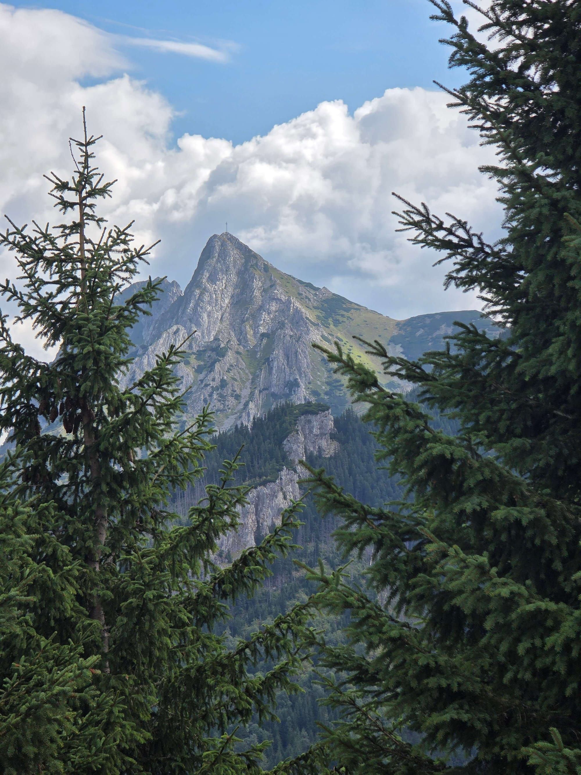
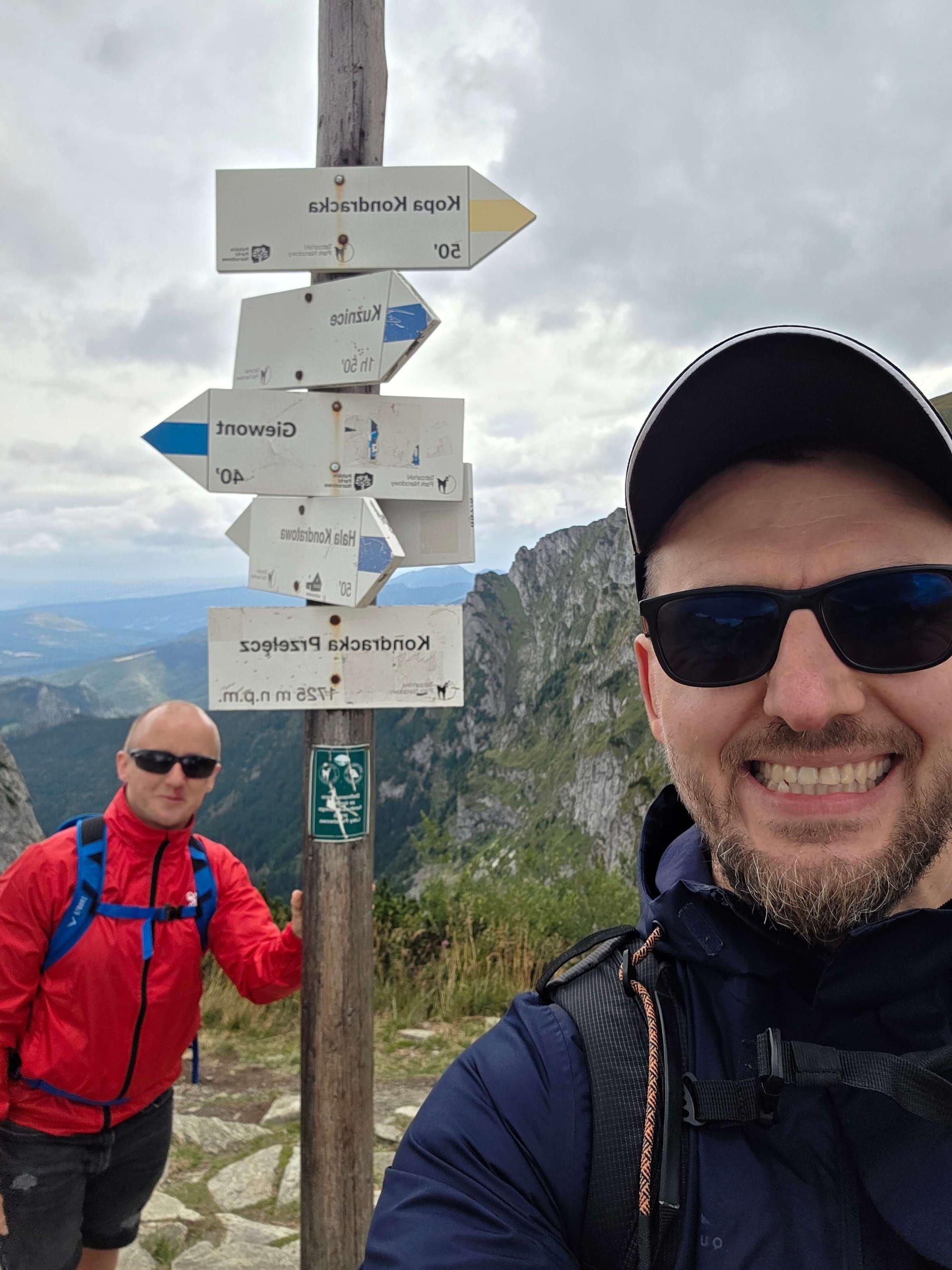
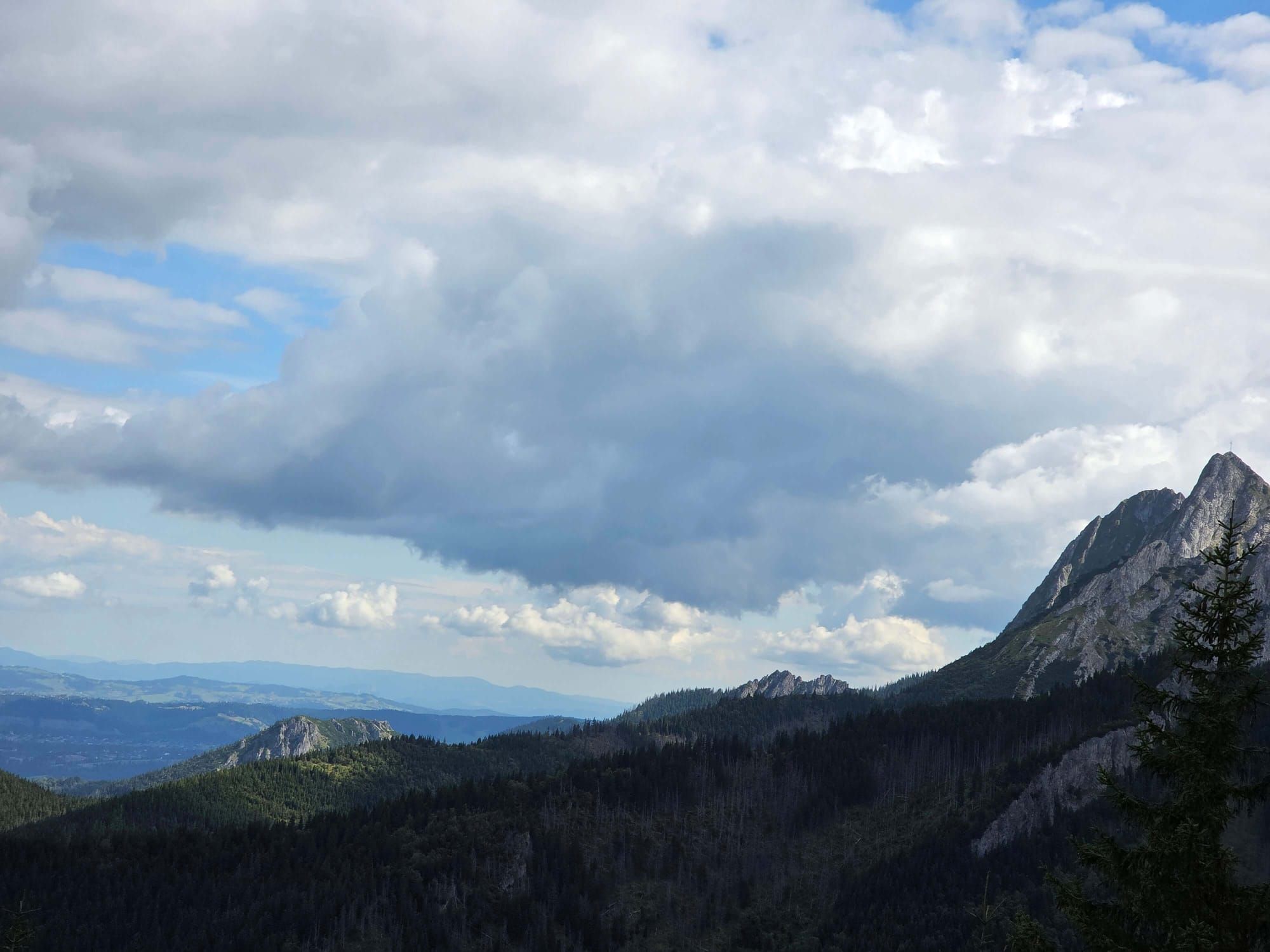
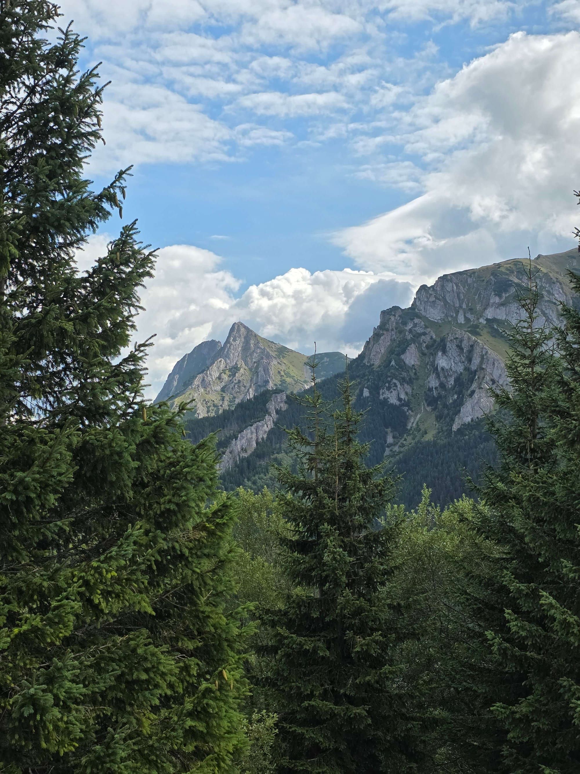
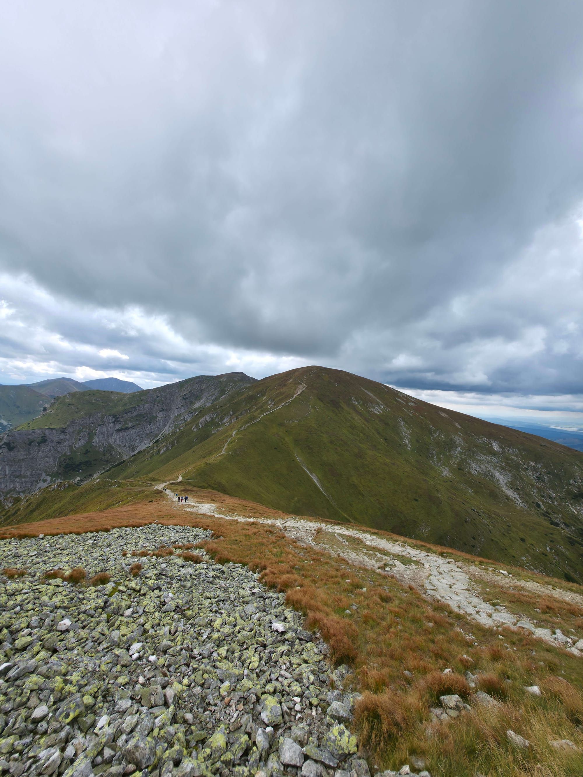
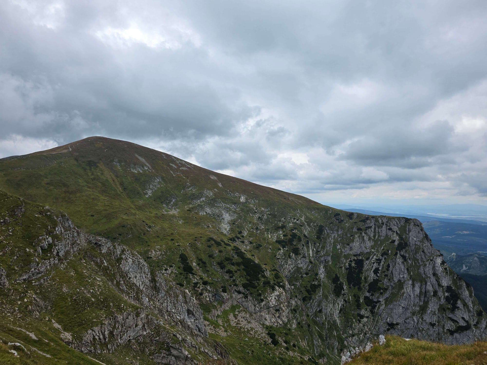
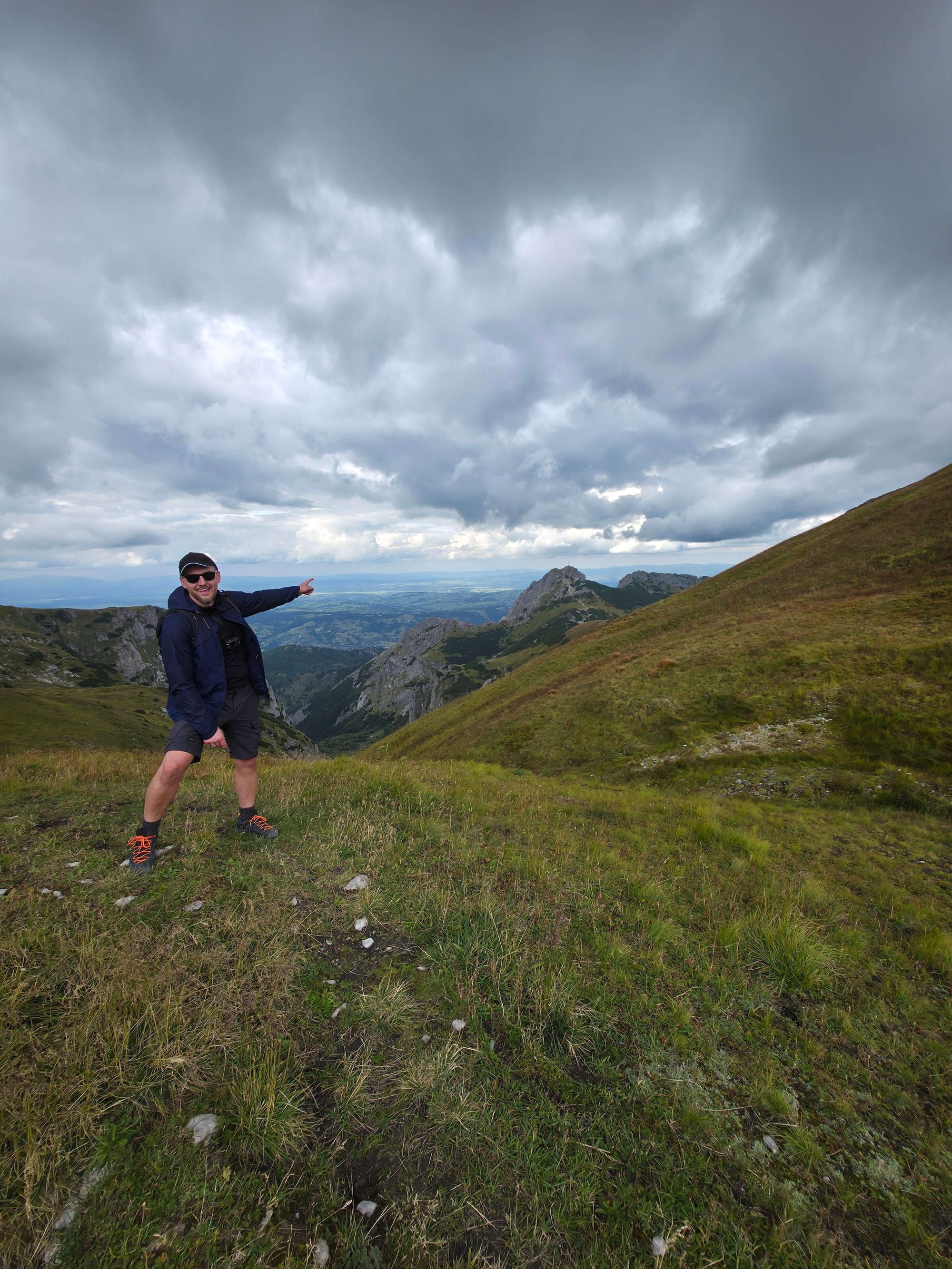
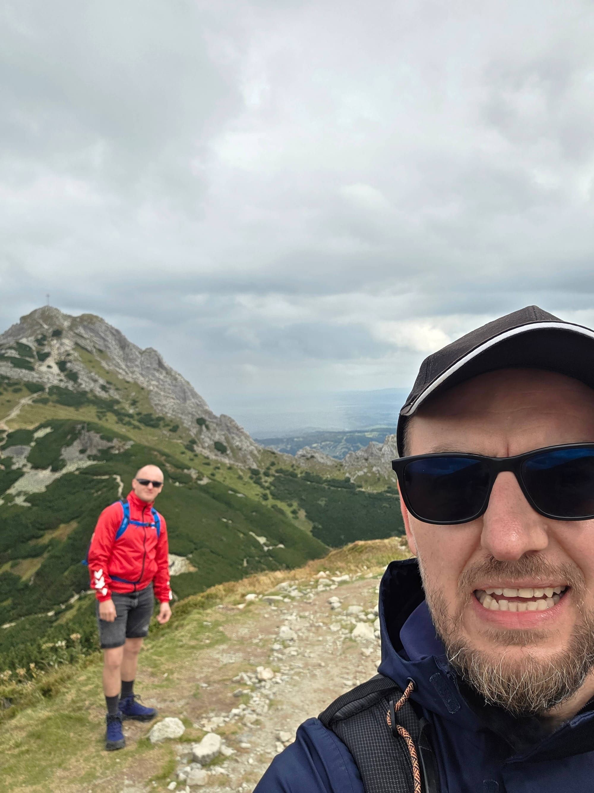
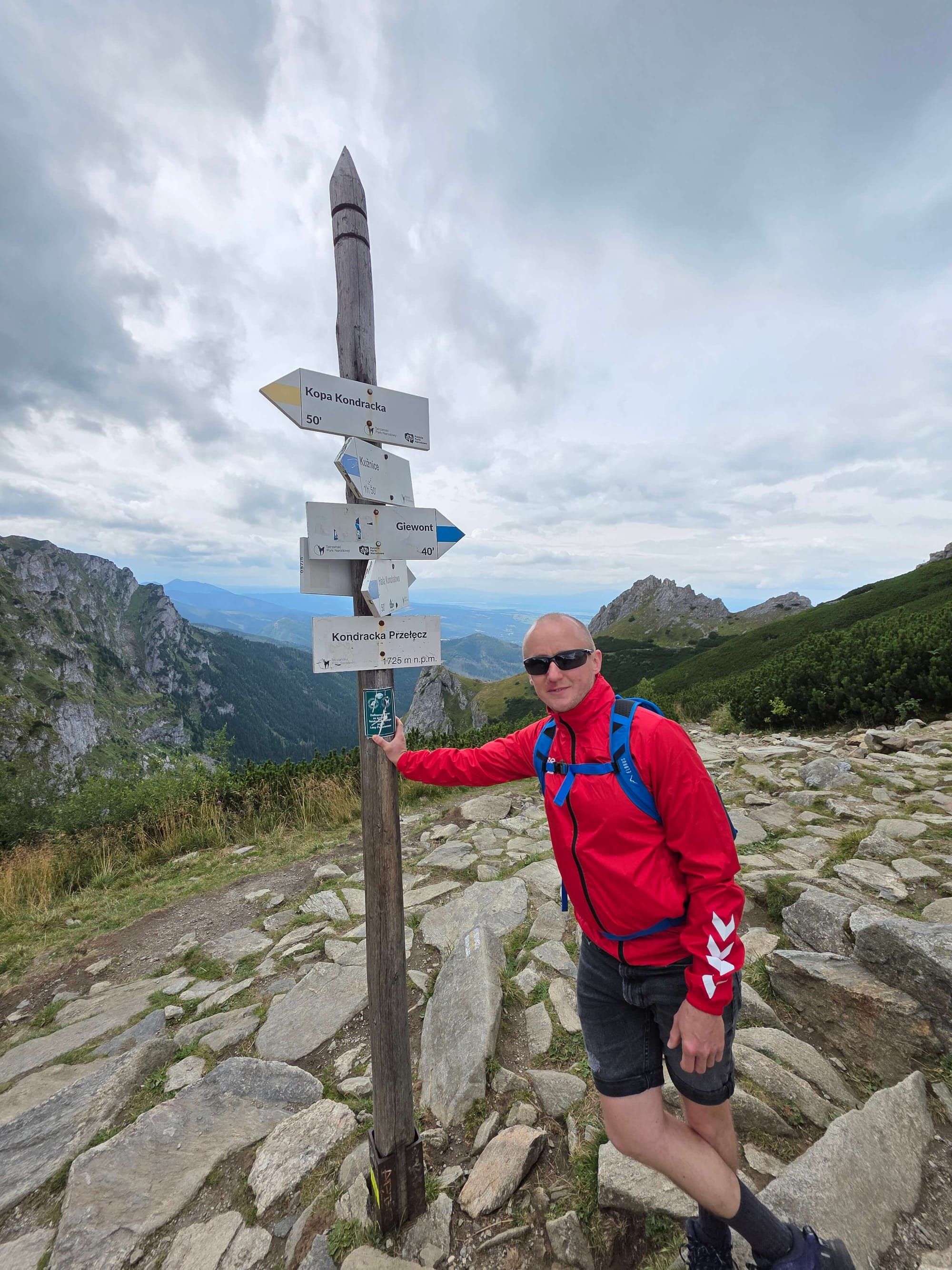
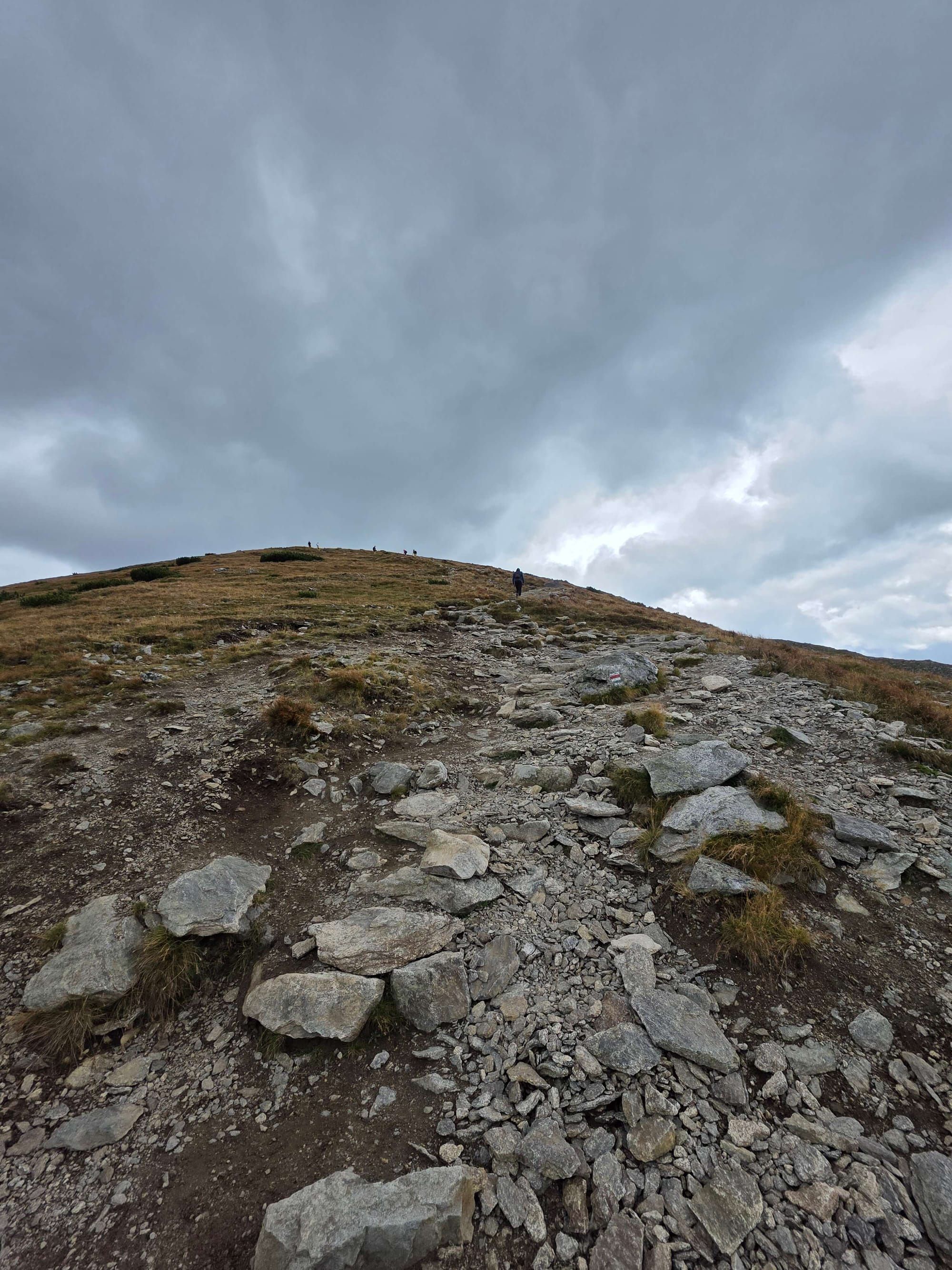
Photo gallery
❓
Questions and answers
Are there chains in Kobylarzowy Żleb?
Yes, but it is a short step low in the gully, not the Giewont dome. On dry rock it is a help. After rain the limestone is slippery — then you turn around at Przysłop, you do not “sort of go up”.
How long is the loop from Gronik?
The map counts 14.4 km and 7 h 27 min: blue to the summit, red to Kopa, yellow into the valley. Descending the same gully is worse than going up — the map does not recommend it.
Do I have to use the gully to bag Małołączniak?
No. Yellow via Kondracka has no chains. That is a separate page. Take the gully only if you want that step.
Where do I park?
The car park at the mouth of Mała Łąka in Gronik. In season it is full before 8:00. TPN ticket at the trailhead or online. Buses from Zakopane are rarer than to Kuźnice.
Is this the same chain as on Czerwone Wierchy?
No. There are no chains on the red ridge. If you walked Ciemniak–Krzesanica and there was no chain, you were on the ridge, not in the gully.

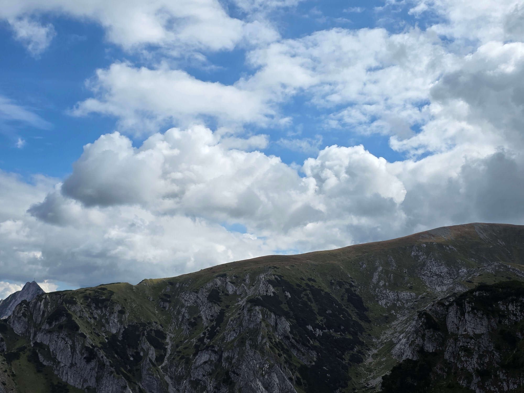
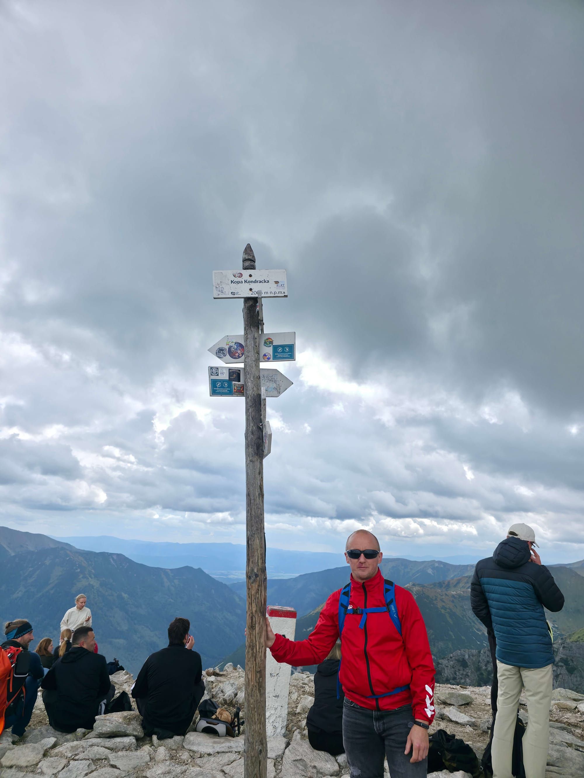
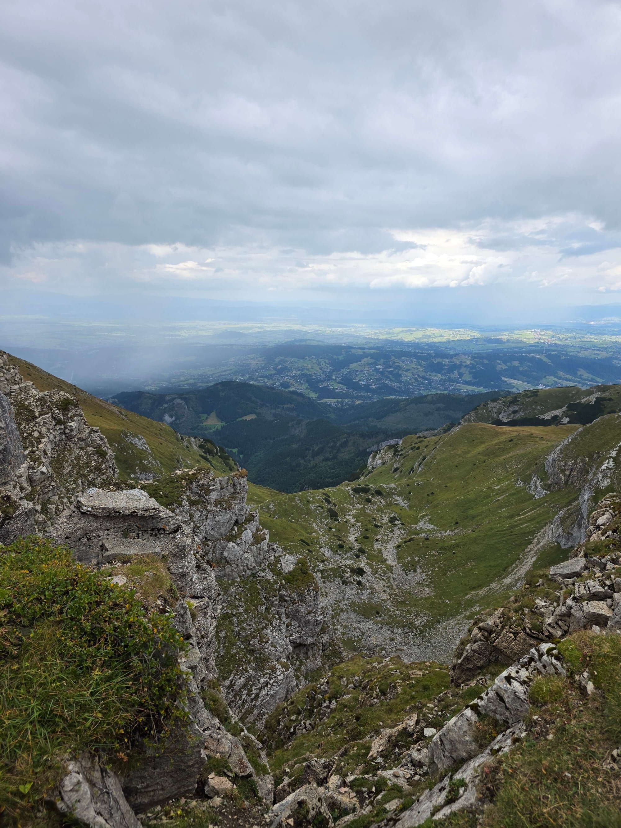
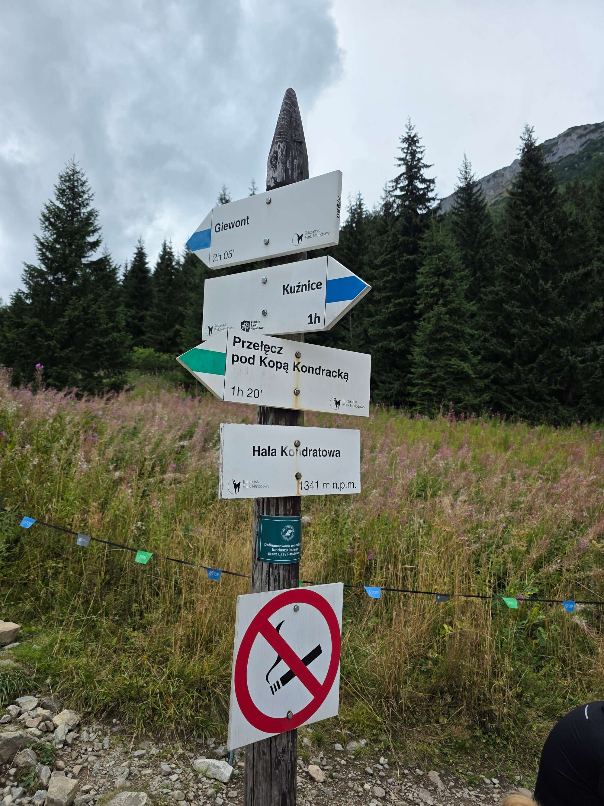
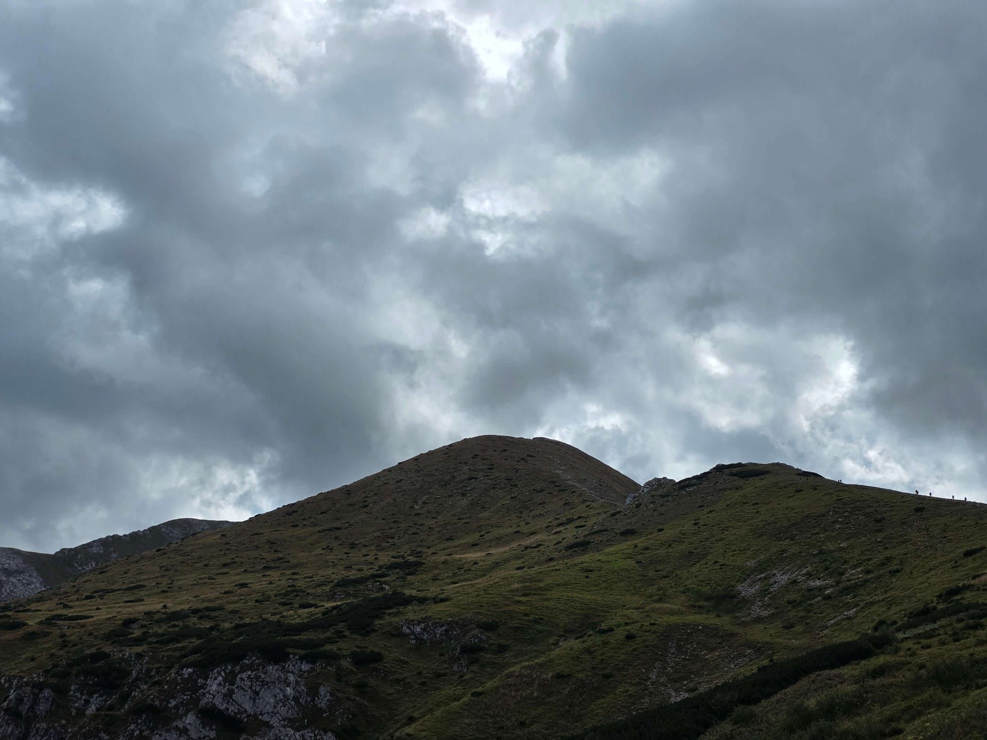
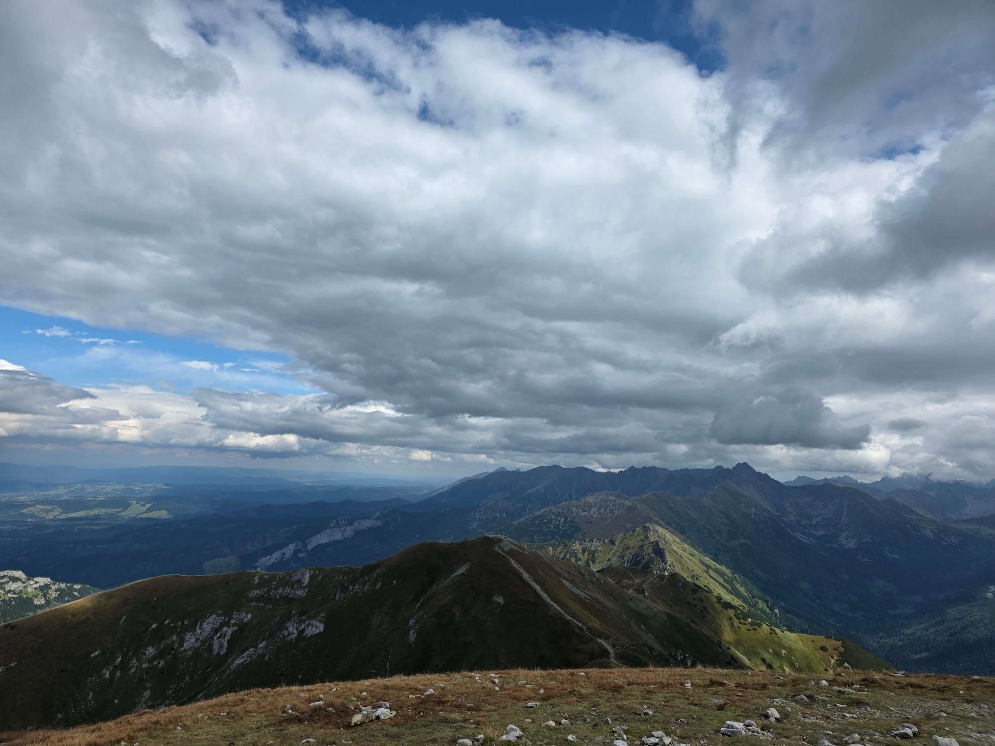
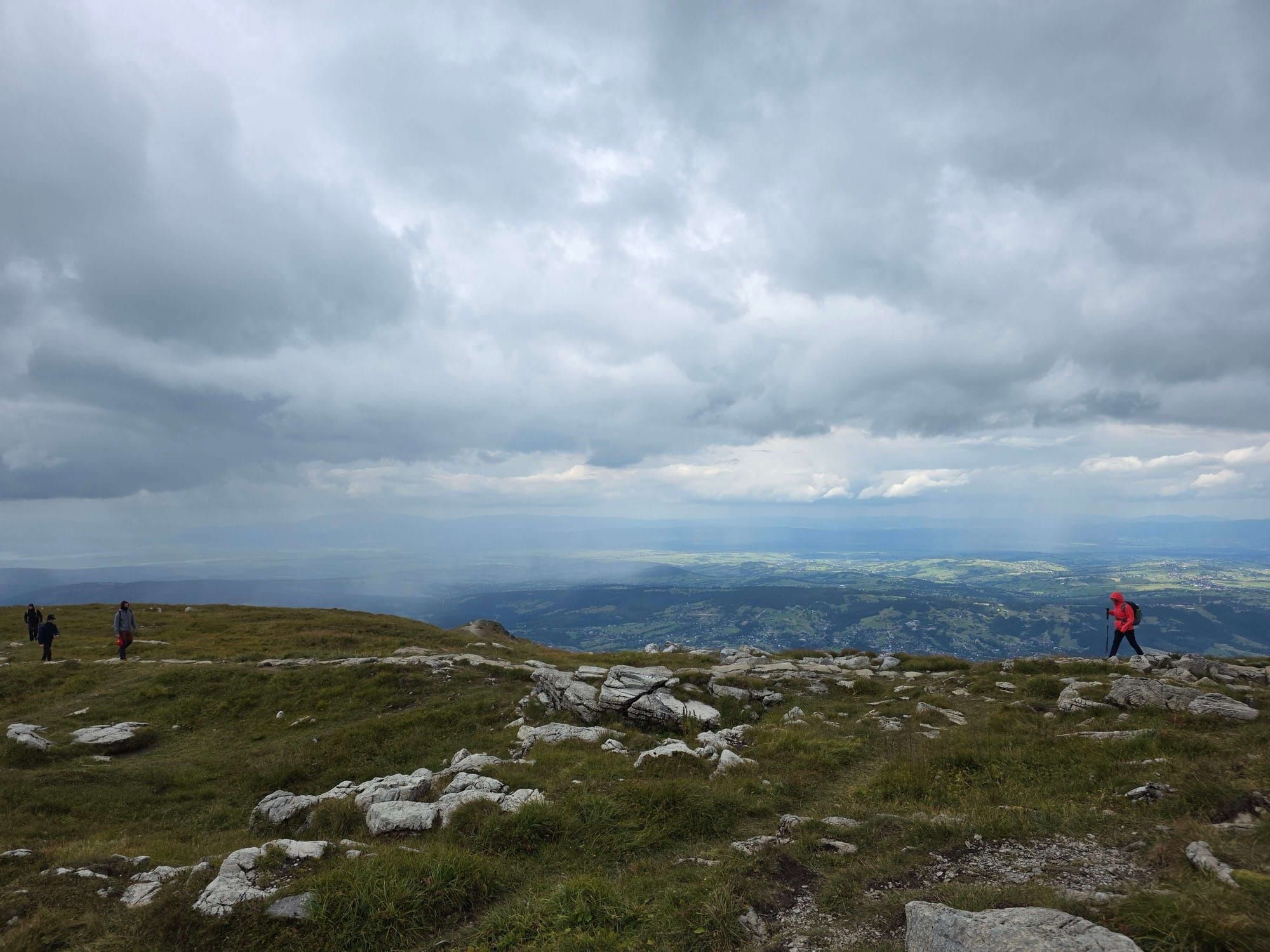
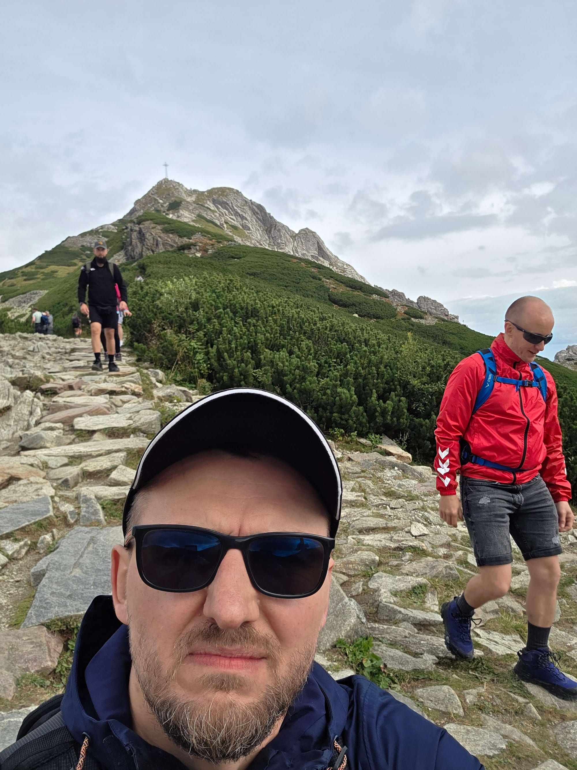
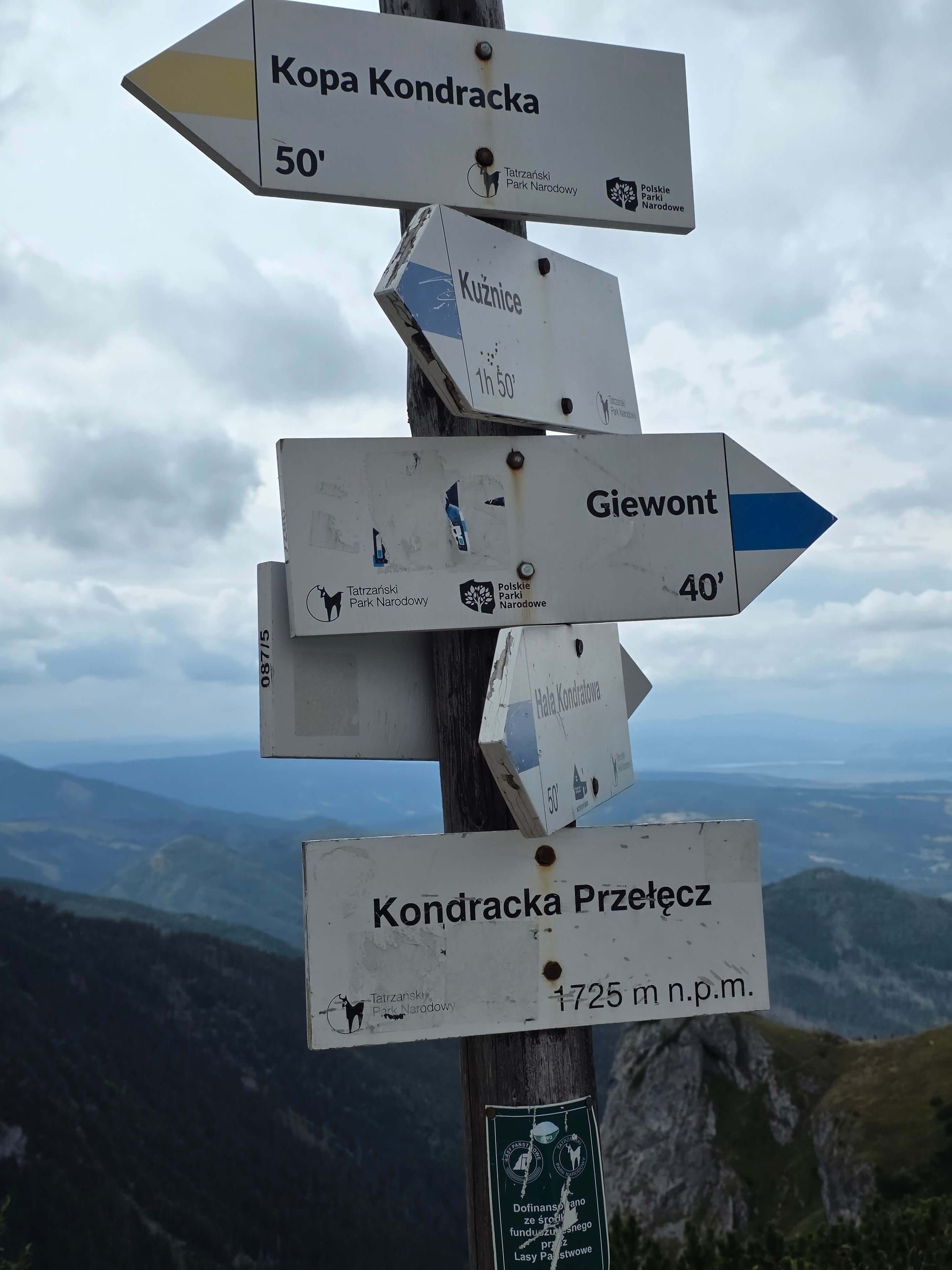
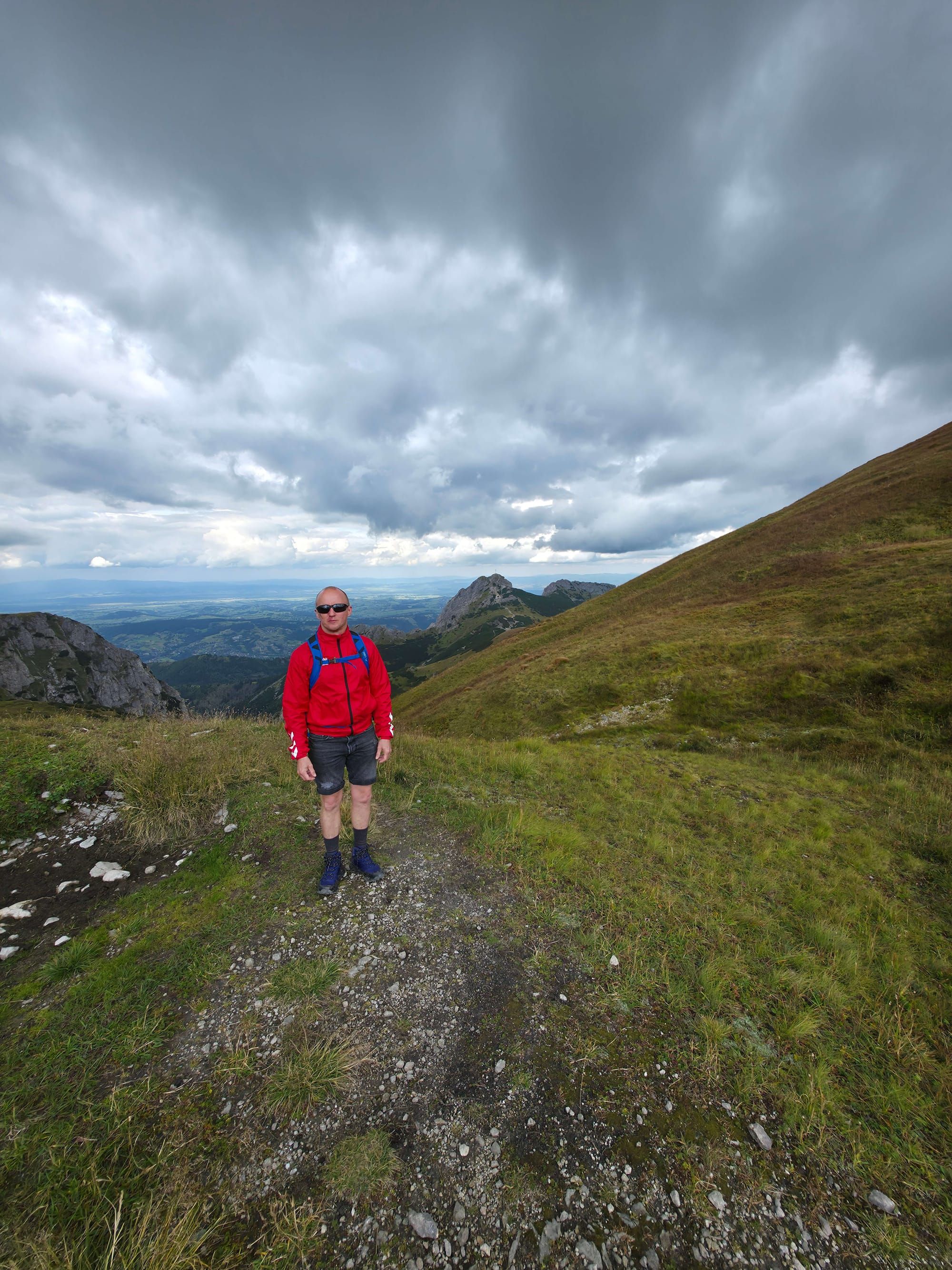
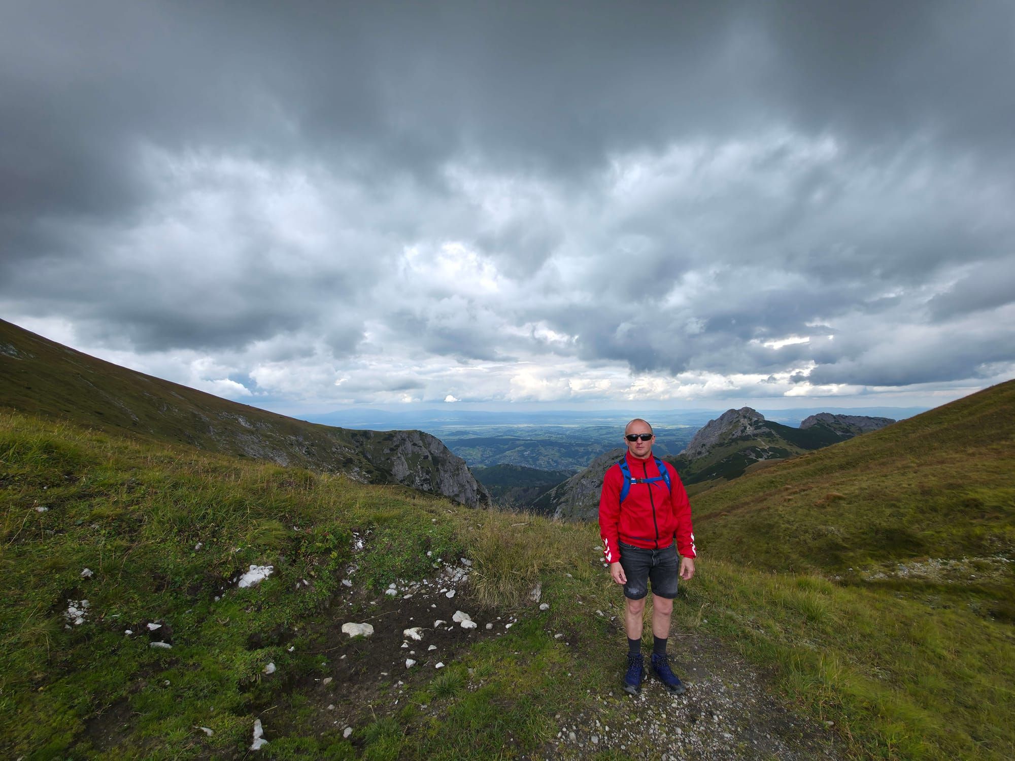
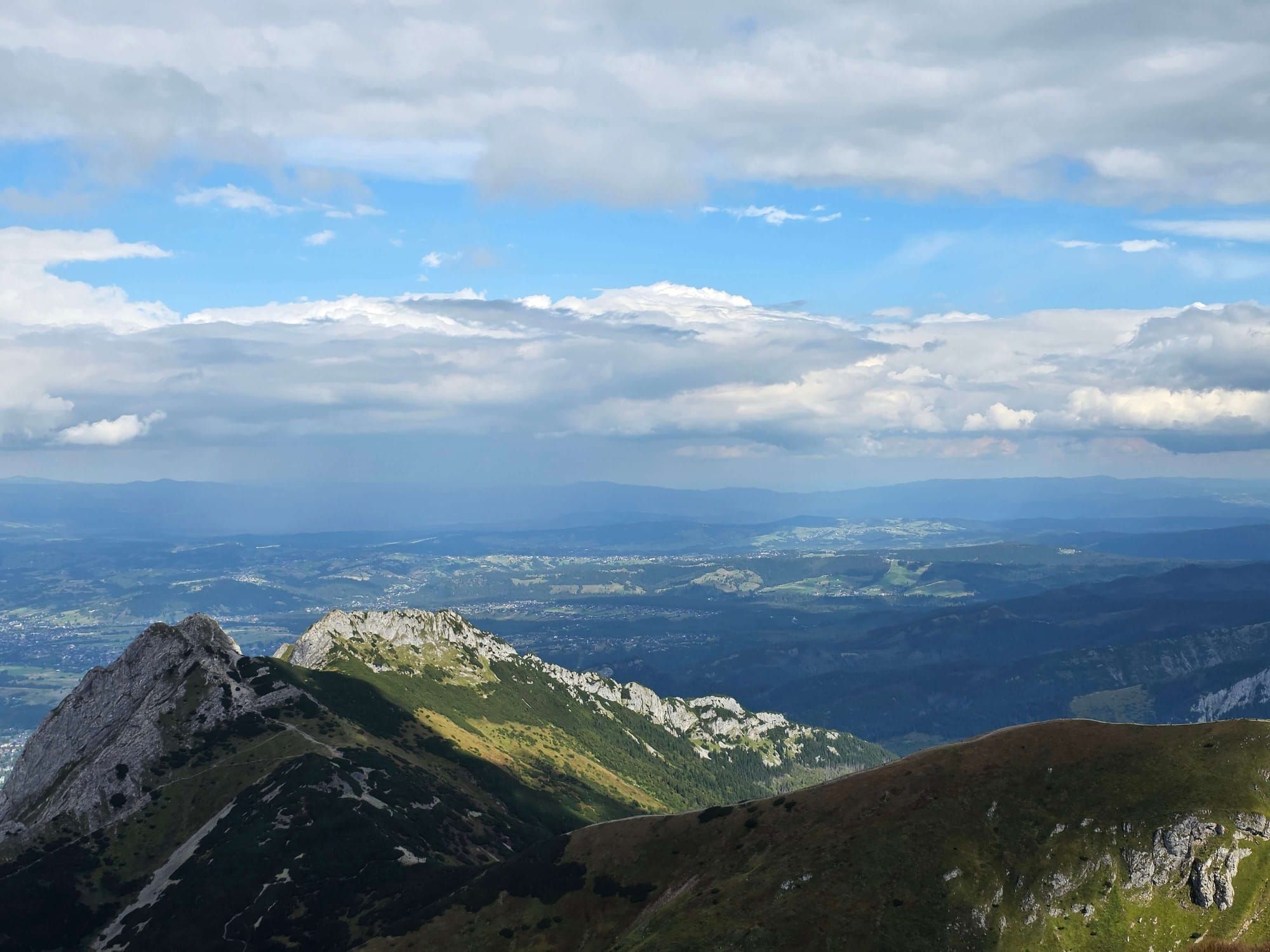
 Distance: 15.4 kmDuration: 7 h 56 min
 2026-09-19
 2026-09-18
 2026-09-17
 2026-09-16
 2026-09-15
 2026-09-14
 2026-09-13
 2026-09-10
 2026-08-30