Difficulty: ModerateWestern Tatras
Wąwóz Kraków and Smocza Jama
Start: Hala Pisana (Kościeliska Valley) · via Vertical walls of the gorge and Steel ladder
- 0:30 h
- Time
- 1.4 km
- Distance
- +96 m
- Ascent
1130 m a.s.l. · trail black · start: Polana Pisana (Kościeliska Valley)
No reported closures or obstacles on this trail according to the official TPN bulletin (21 października 2026).
PolecanyPolana Pisana – Raptawicka
Czas i dystans dla całej wycieczki, z powrotem do startu.
Tempo
30 minSzacunek od czasu z opisu, bez kolejek i postojów.
Polecany jest na tej stronie. Inny start ma osobną kartę — własny opis i mapę.
| Wariant | Start | Czas przejścia | Łańcuchy | Kolor szlaku |
|---|---|---|---|---|
Polana Pisana – RaptawickaPolecany Steep on rock, the ladder, the hall, the same way down. There are chains. The figures at the top of the page count this loop. | Polana Pisana | 30 min | TakChains on the approach and a 4 m ladder into the opening. |
|
With Mylna Mylna first, then black to the ladder. Separate page for the labyrinth: Jaskinia Mylna. Zobacz ten szlak → | Polana Pisana | 1 h 20 min | TakLadder on Raptawicka. On Mylna a chain on the exit from the opening. |
|
From Kiry The valley plus the cave. Separate page for the floor: Kościeliska Valley. Zobacz ten szlak → | Kiry | 2 h 30 min | TakChains and the ladder only at the cave. The valley without. |
|
Polecany
Polana Pisana – Raptawicka
Steep on rock, the ladder, the hall, the same way down. There are chains. The figures at the top of the page count this loop.
Polana Pisana – Raptawicka
Wykres podejść wygenerowany ze śladu GPX. Przesuń kursor lub palec po wykresie, aby sprawdzić profil podejścia i punkty kulminacyjne.
Wgraj trasę do zegarka sportowego (Garmin, Coros, Suunto, Apple Watch) lub aplikacji nawigacyjnej (Mapy.cz, Komoot, Locus Map, Strava) i nawiguj po szlaku w trybie offline bez zasięgu.
Jaskinia Raptawicka is a massive hole suspended high in Raptawicka Turnia, towering over the Kościeliska Valley. Unlike the neighbouring Jaskinia Mylna, you do not have to crawl in the mud here. The main attraction (and challenge at the same time) is the entrance to the cave itself, which requires negotiating a vertical wall.
💡 In a nutshell – Jaskinia Raptawicka:
- Access: From Polana Pisana (Kościeliska Valley), turn onto the black trail. The approach and return from the valley floor takes about 30 minutes.
- Difficulties: You descend into the cave via a vertical, 4-metre steel ladder. Before that, there is a short section with chains.
- Inside: The main chamber is huge and lit by daylight (you can stand up in it). A headlamp is only needed for the side corridors.
- Warning: The trail is two-way. Only one person can be on the ladder at a time, which causes queues in season.
It is a short but exciting adventure, ideal for people who want to try their hand at chains and a ladder, but are not yet ready for high peaks.
The figures at the top of the page show the time and distance for the approach to the cave itself, starting and finishing at Polana Pisana (in the Kościeliska Valley). To get here, you first have to walk from Kiry (about 1 h).
From Polana Pisana we set off on the black trail (initially it goes together with the red trail to Jaskinia Mylna).
We reach a vertical rock wall. This is where the real fun begins.
After descending the ladder we find ourselves in the massive Main Chamber of Jaskinia Raptawicka.
Do not drive a pushchair in here (leave it on the valley floor). Do not bring a dog here (TPN ban). Do not try to climb the ladder in flip-flops or sandals. If you are looking for a long wander in the dark and crawling, choose the neighbouring Jaskinia Mylna. If you are only interested in a flat walk, stay on the main trail in the Kościeliska Valley.
Trailhead logistics – reach the start smoothly without parking hassle.
Kiry car parks (at Kościeliska Valley entrance)
Parking fee: 30–40 PLN / day
Numerous parking lots line the road in Kiry. On sunny weekend mornings they fill up after 8:30 AM. Some accept cards, but cash is recommended.
Buses from Main Station towards Kościelisko & Kiry
Route & bus stop: Zakopane Main Station ➔ Aleje 3 Maja ➔ Kościelisko ➔ Kiry (bus stop right by TPN gate)
Fare: ~8–10 PLN one-way
Buses marked „Kiry / Dolina Kościeliska” depart every 10–15 minutes.
Local buses and transit help bypass morning traffic and parking hassles.
Complete guide to Tatra car parks, buses, and TPN reservations.
Tool
Check off items as you pack, switch between summer/winter and clear the list before your next trip. Progress is saved automatically.
Newsletter
A few times a year: trail conditions, closures, the best time to go and new routes. No weekly spam.
Planning your next hike? From the same starting point and area, we recommend:
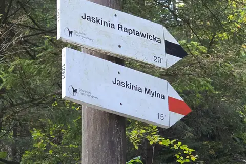
Mylna Cave in the Kościeliska Valley: an unlit labyrinth, crawling, a chain on the way down and Pawlikowski's Window. 57 min from Polana Pisana, about 3 h from Kiry.
Start: Hala Pisana (Kościeliska Valley) · via Vertical walls of the gorge and Steel ladder
Start: Mouth of the Žiarska Valley (car park) · via Highest point of the Western Tatras main ridge and Plačlivý Roháč
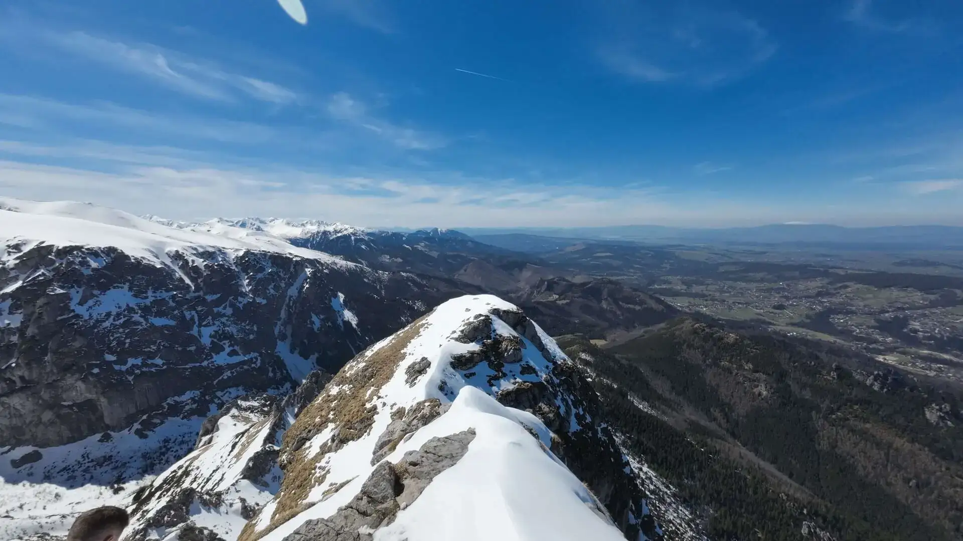
Start: Kuźnice · via The cross on Giewont and The mountain hut at Hala Kondratowa
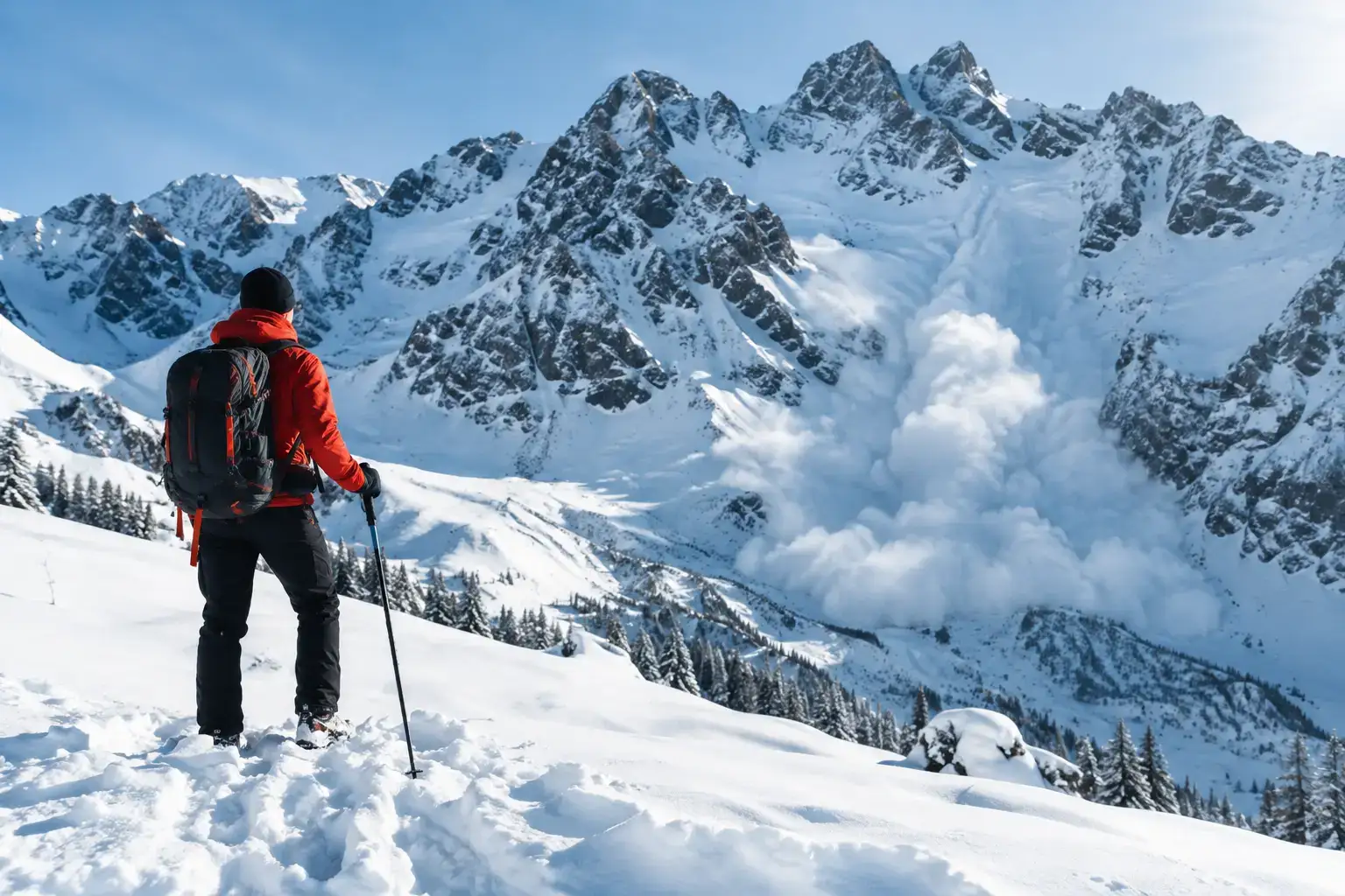
Avalanches in the Tatras do not forgive a rush. Check the bulletin, the weather, the ground and the decisions that help you get back safely from a ski tour or a hike.
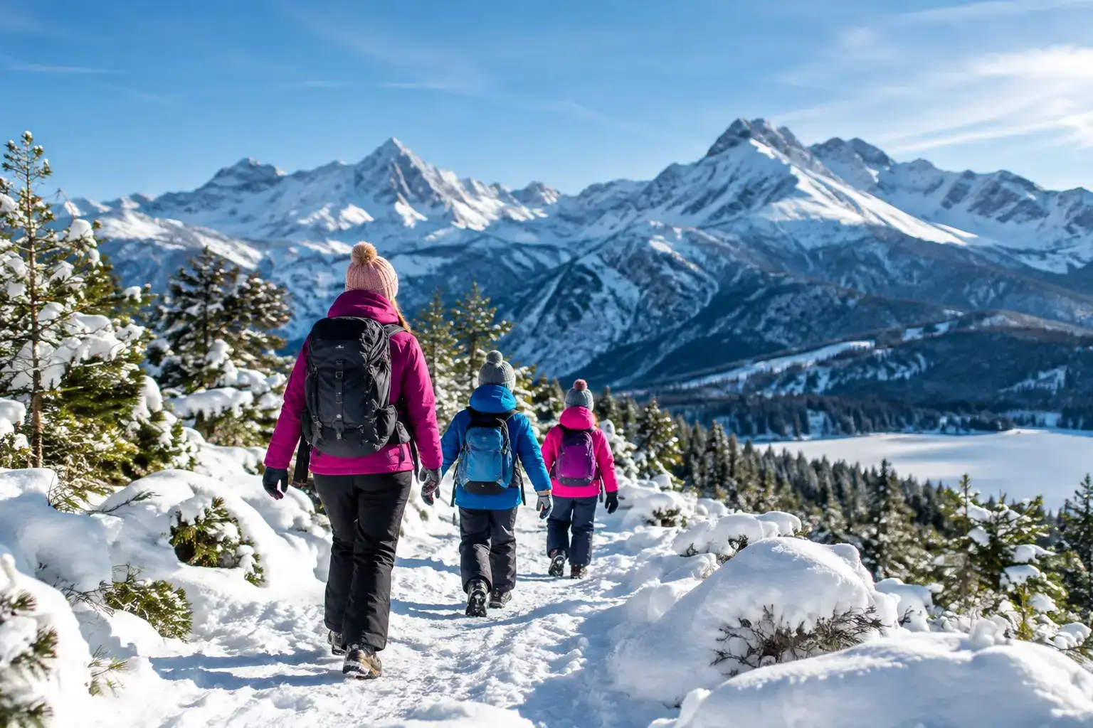
See where to go in the Tatras in winter with children, safely: valleys, meadows and places in Slovakia, plus how to pick a route for a family day in good conditions.

Tatra sights with little effort: reliable places, cable cars and short walks when you want to see the mountains without a long hike or extra risk.
These are affiliate links. If you book a stay or a ticket through them, we earn a small commission, for coffee :), at no extra cost to you.