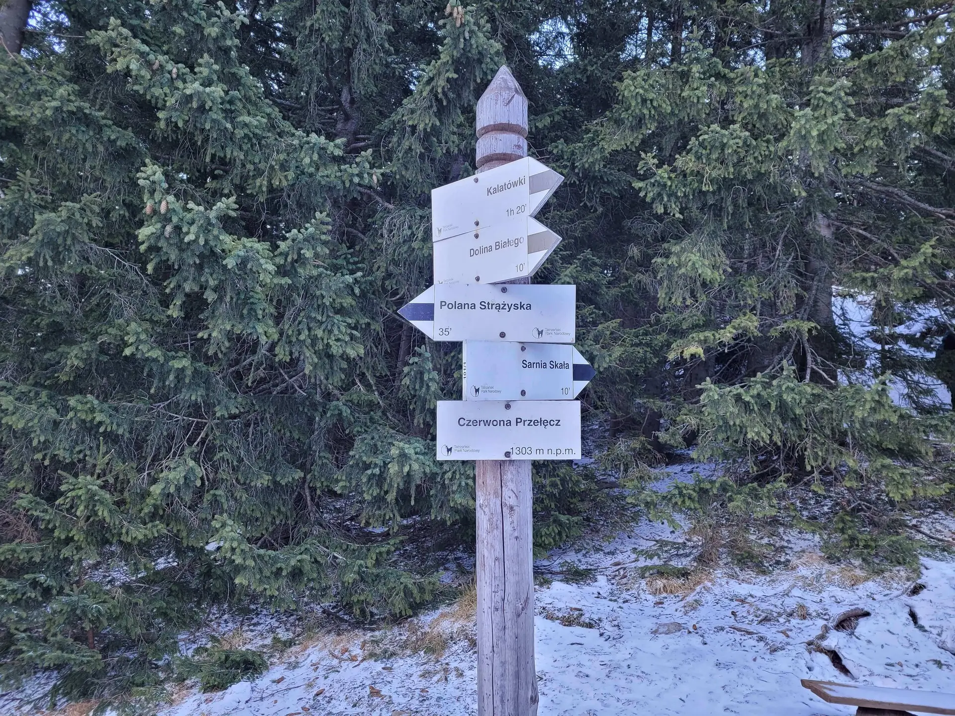
Sarnia Skała
- Trail color
- Elevation
- 1377 m a.s.l.
- Total ascent
- 520 m
- Distance
- 8.2 km
- Difficulty
- medium
- Duration
- 3 h 45 min
- Start
- Zakopane (Dolina Strążyska)
- Finish
- Zakopane (Dolina Białego)
- Family friendly
- Yes
- Dog friendly
- No
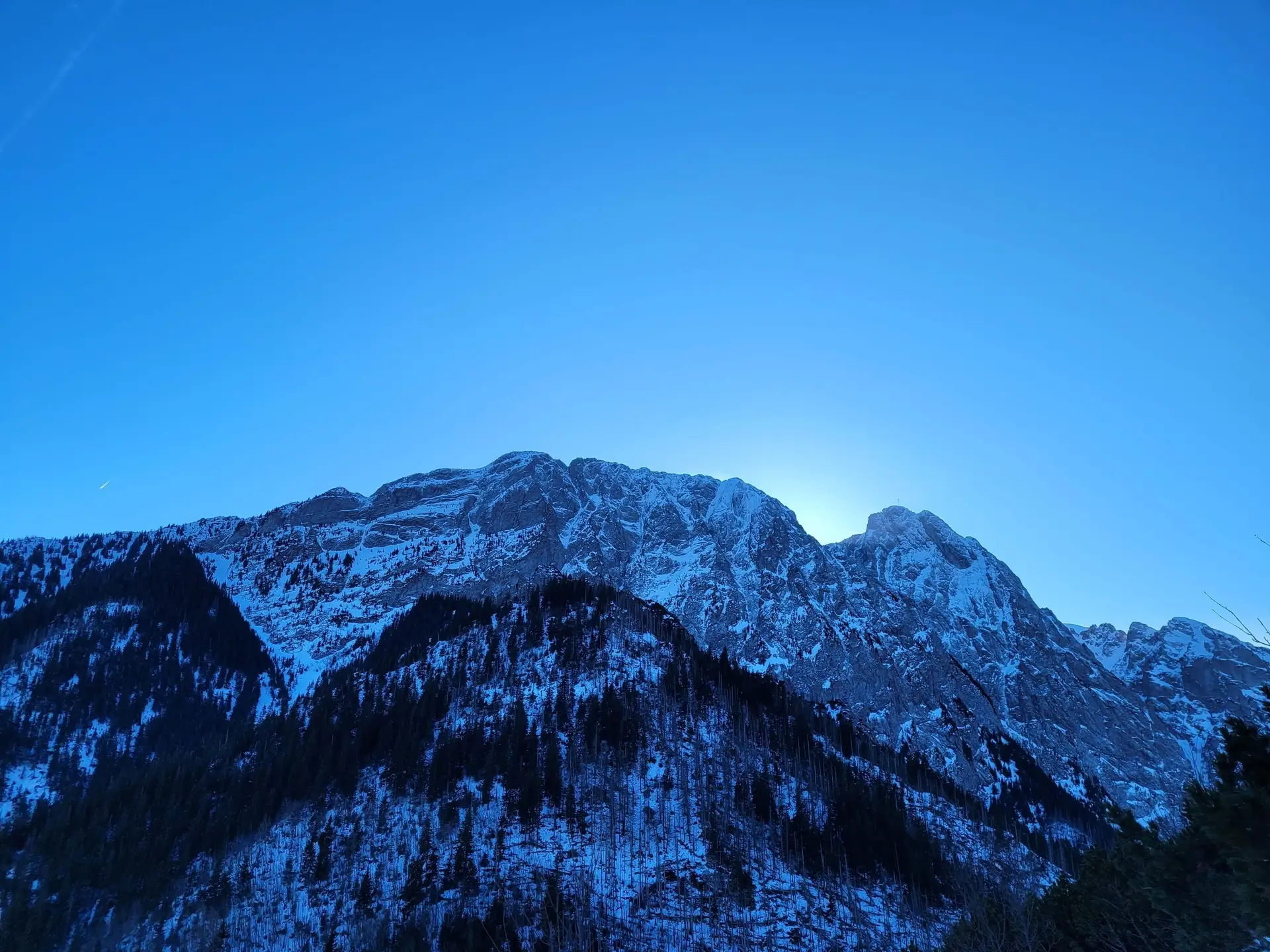
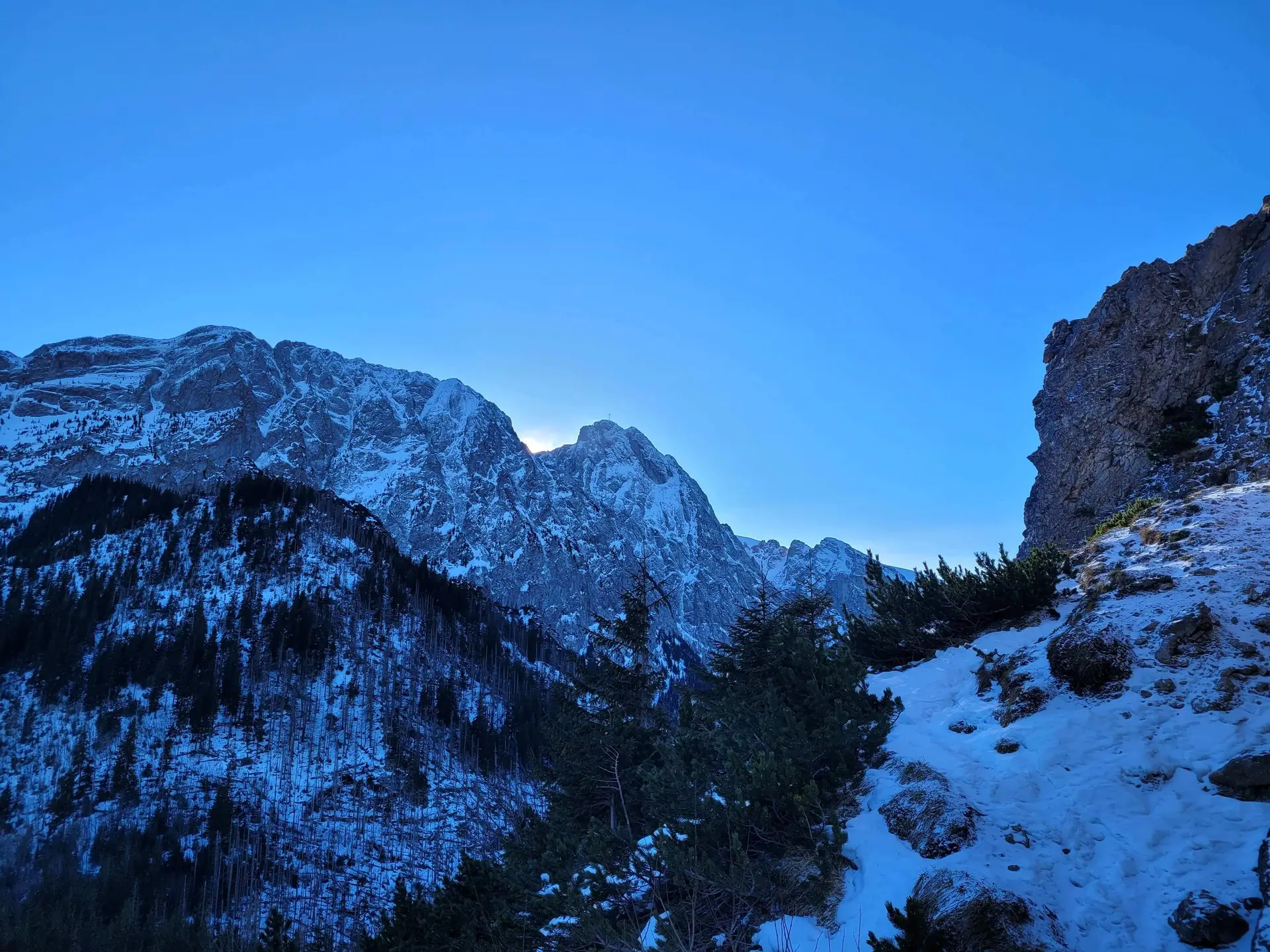
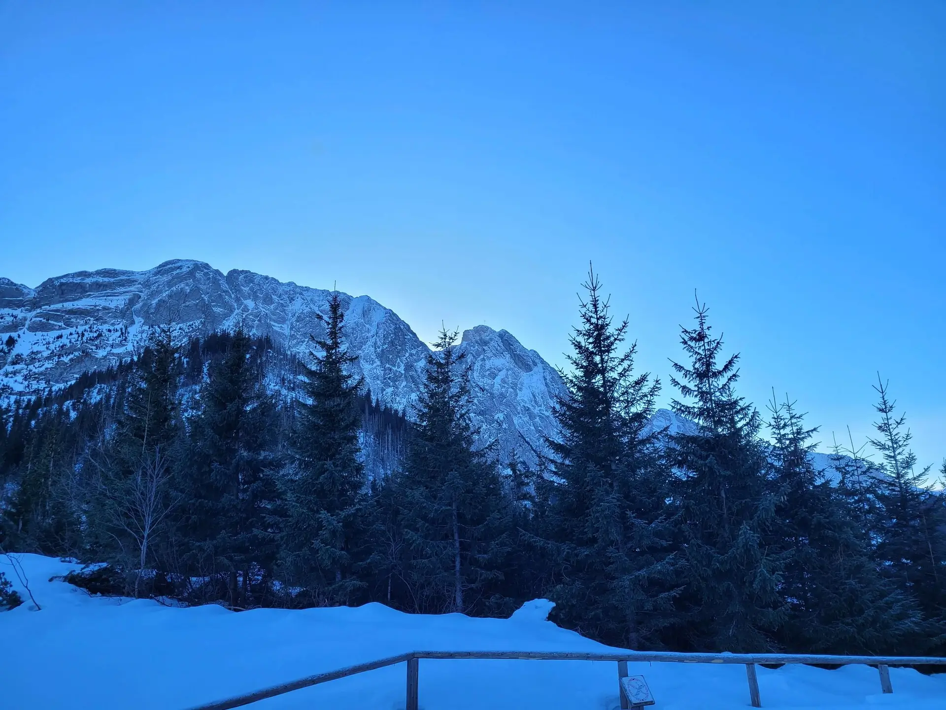
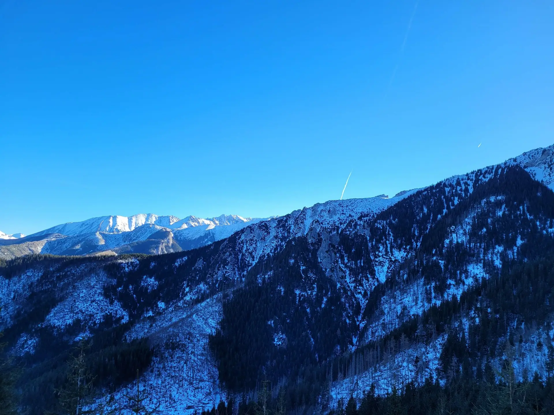
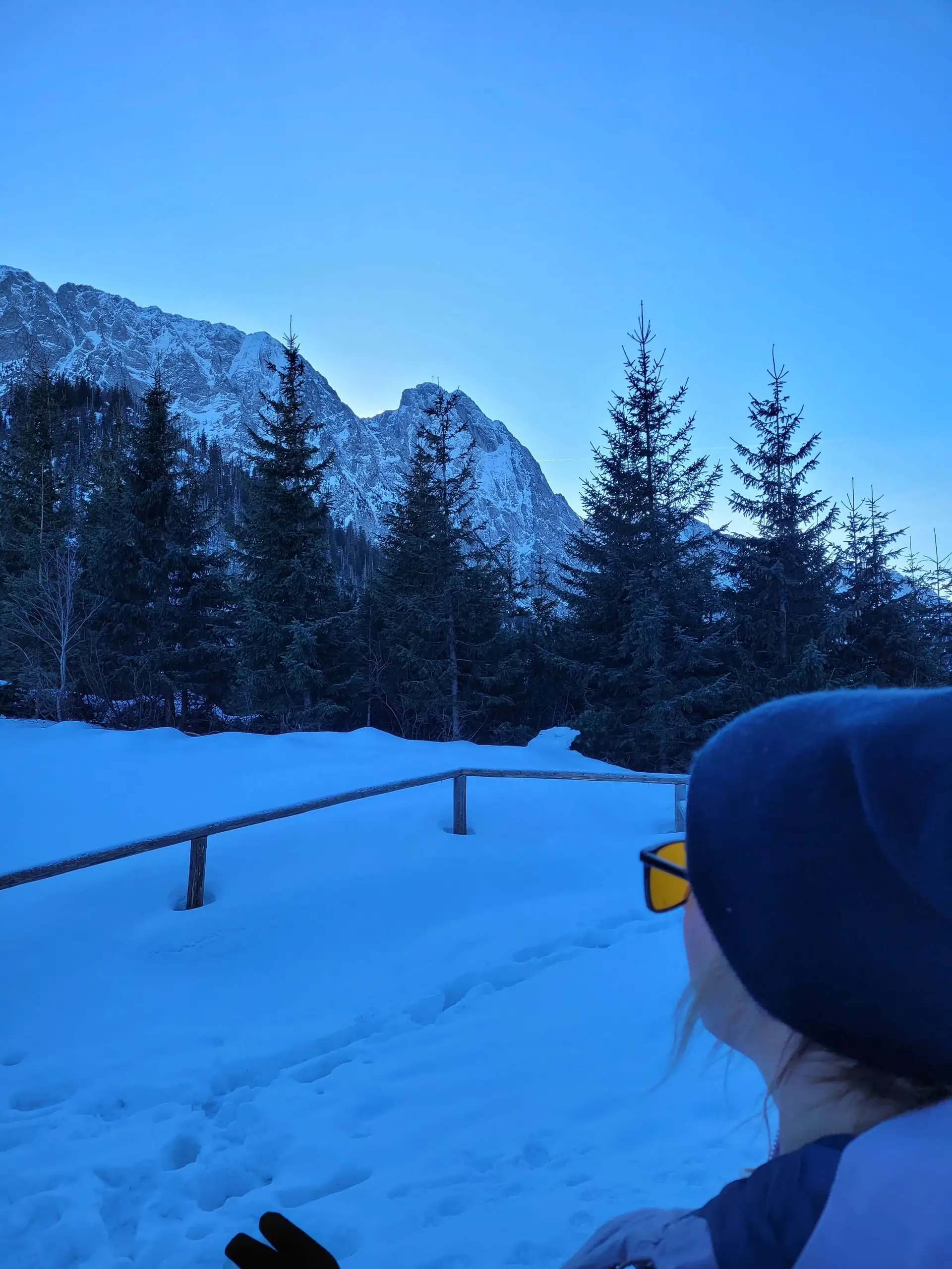
Sarnia Skała stands at 1,377 m above sea level. It is a summit that gives you the feeling of being in high mountains without requiring iron stamina. Located in the very heart of the foothills, it is famous for offering an eye-to-eye view of Giewont - nowhere else does the Sleeping Knight look so imposing and menacing.
Trail description: the recommended loop
Instead of going up and down the same way, we recommend a trip in the form of a loop that combines two beautiful valleys and a waterfall.
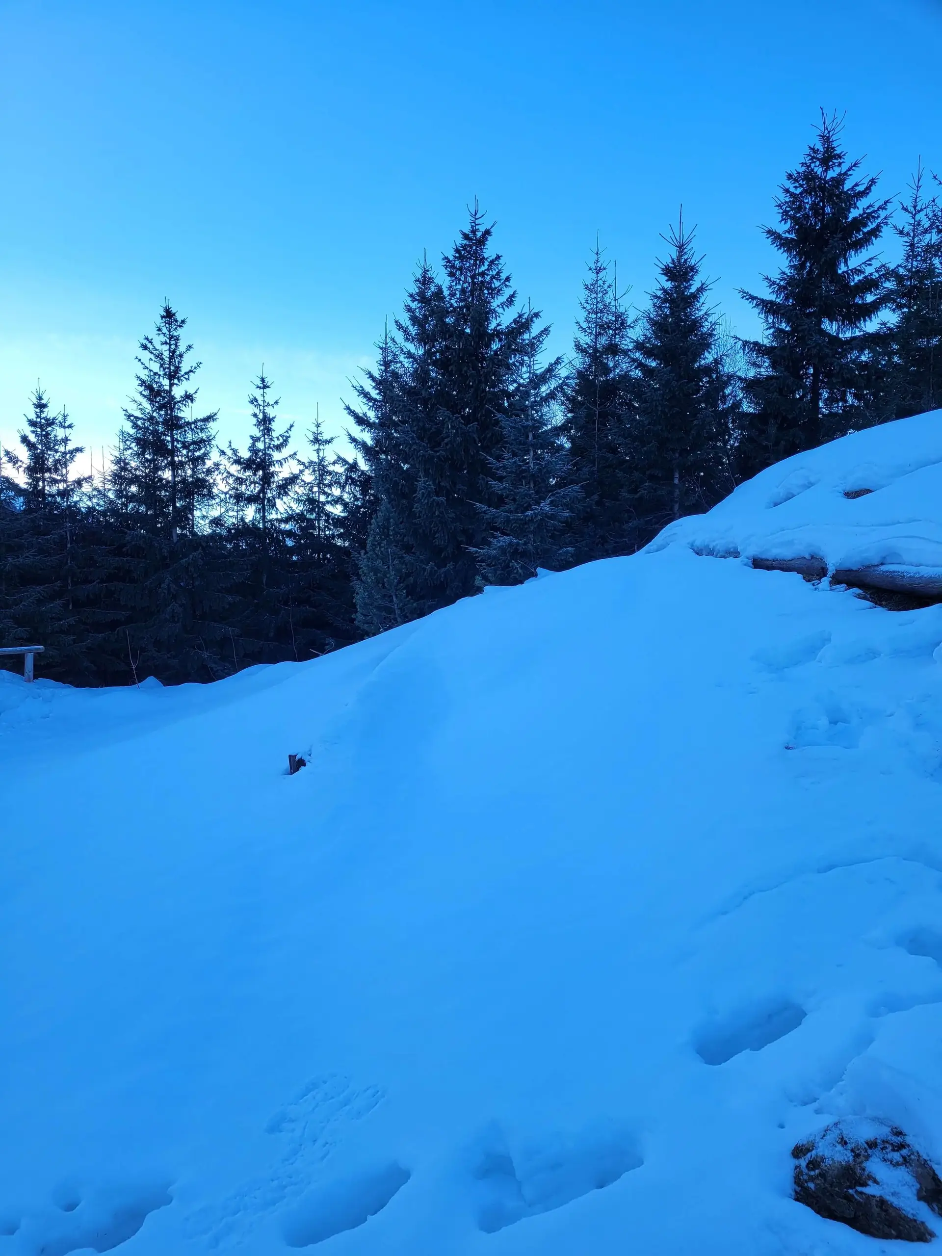
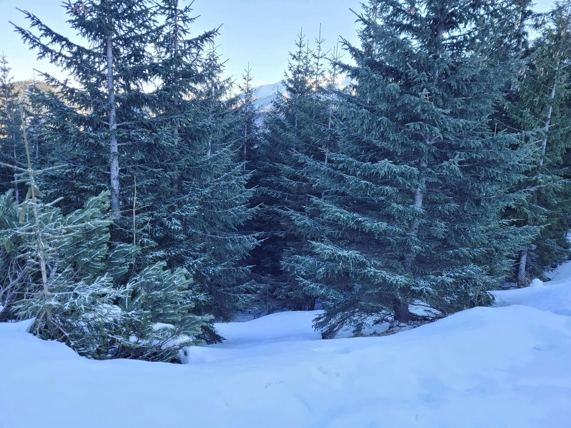
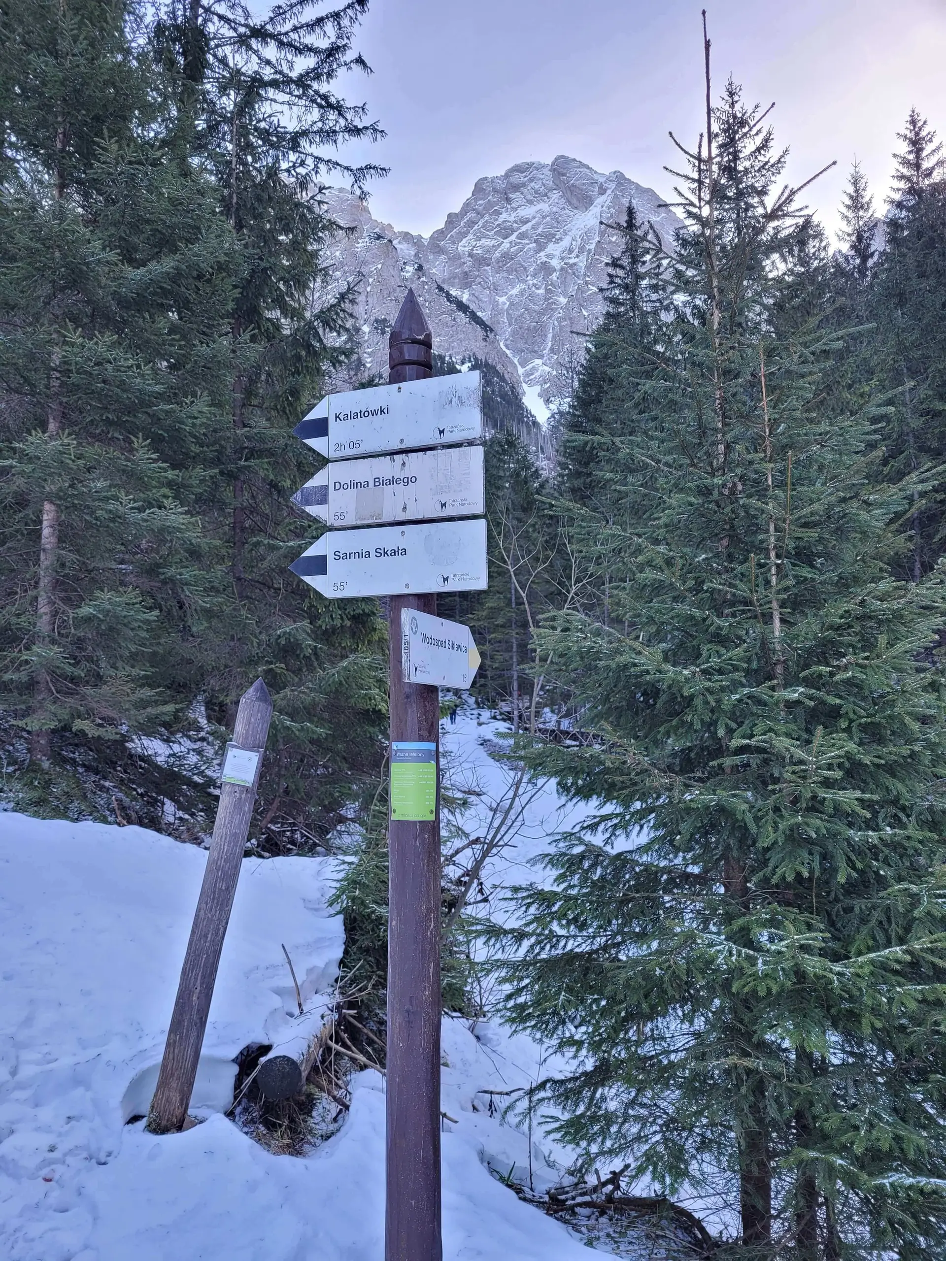
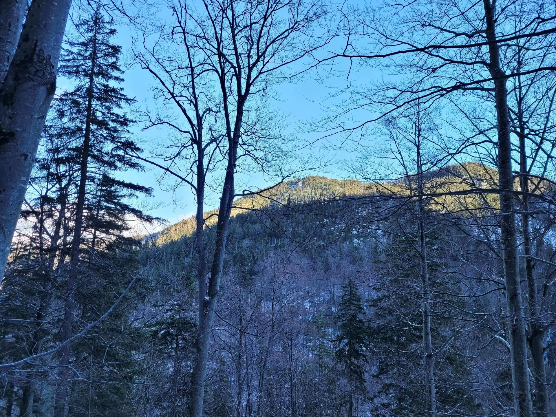
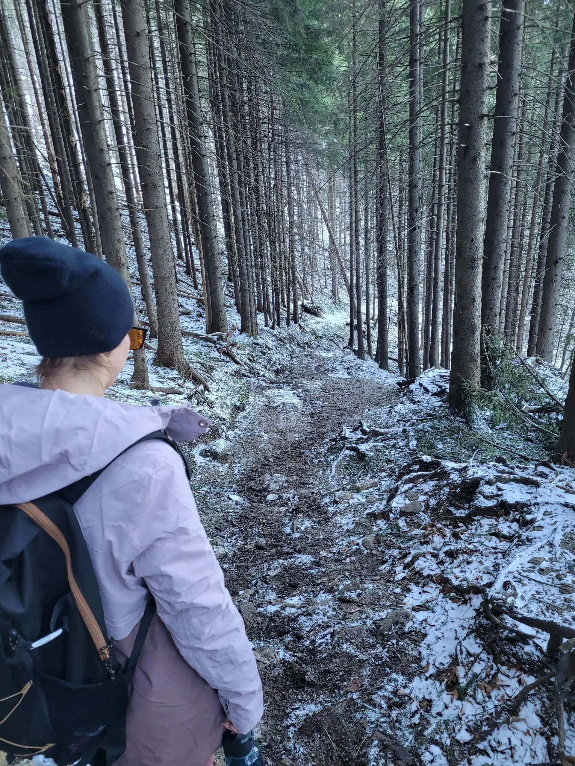
- Dolina Strążyska (warm-up): We start on the red trail. It is a flat, relaxing walk along a wide avenue with a view of Giewont. After about 40 minutes we reach Polana Strążyska, where the famous Tea House stands (a historic wooden hut).
- Bonus: Siklawica Waterfall: From the glade it is worth climbing (10 minutes on the yellow trail) to the very foot of the Giewont wall to see the 23-metre Siklawica waterfall. Worth it!
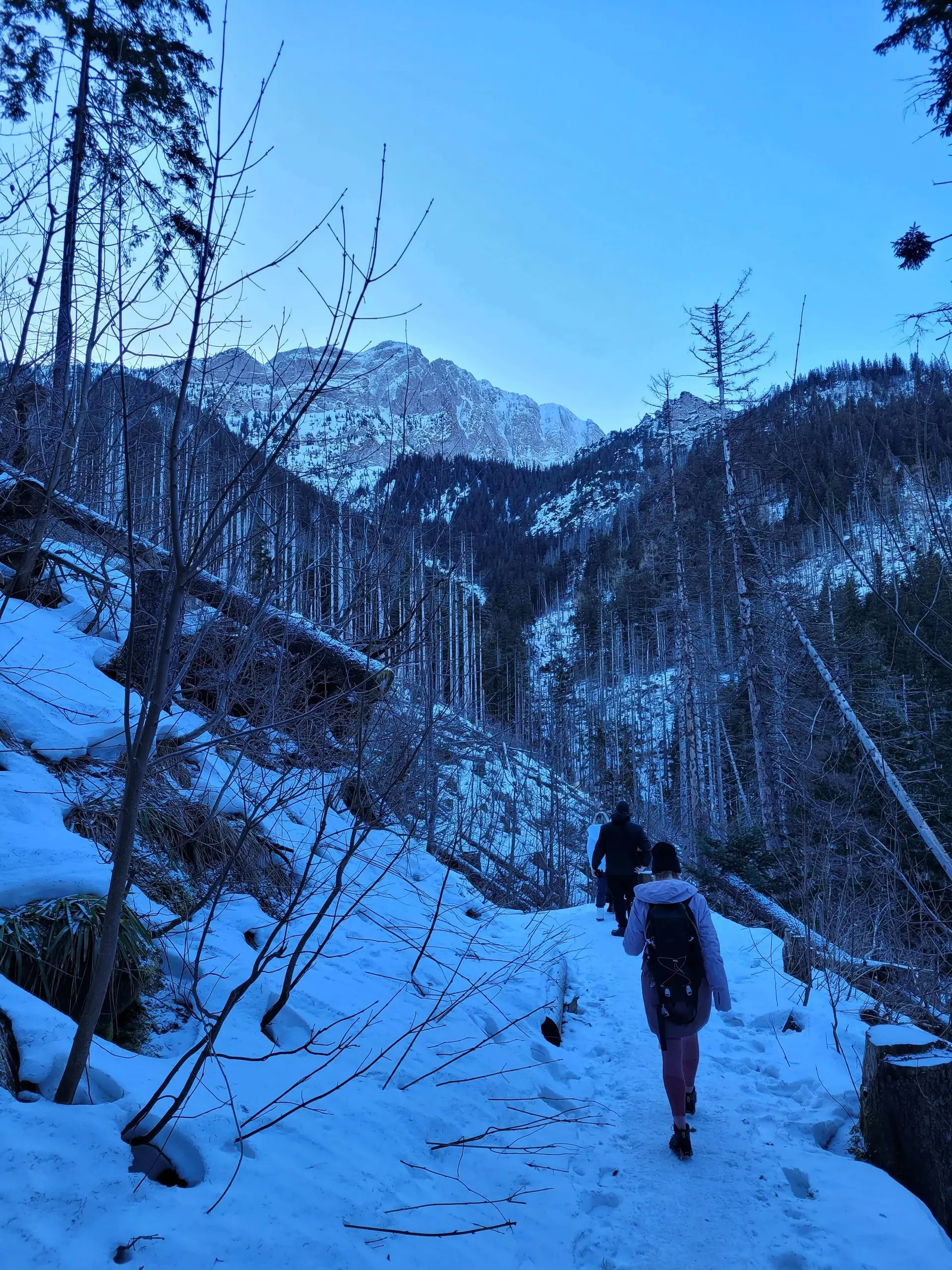
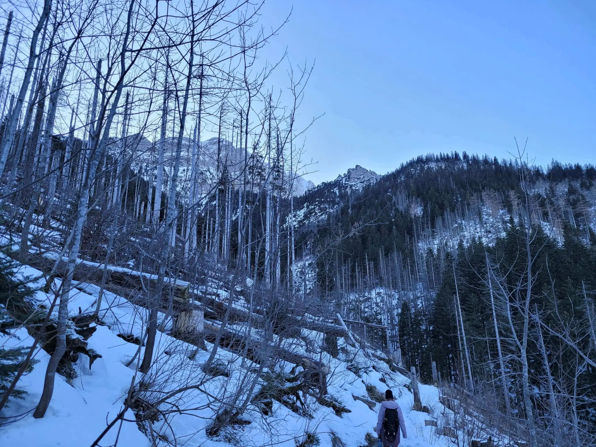
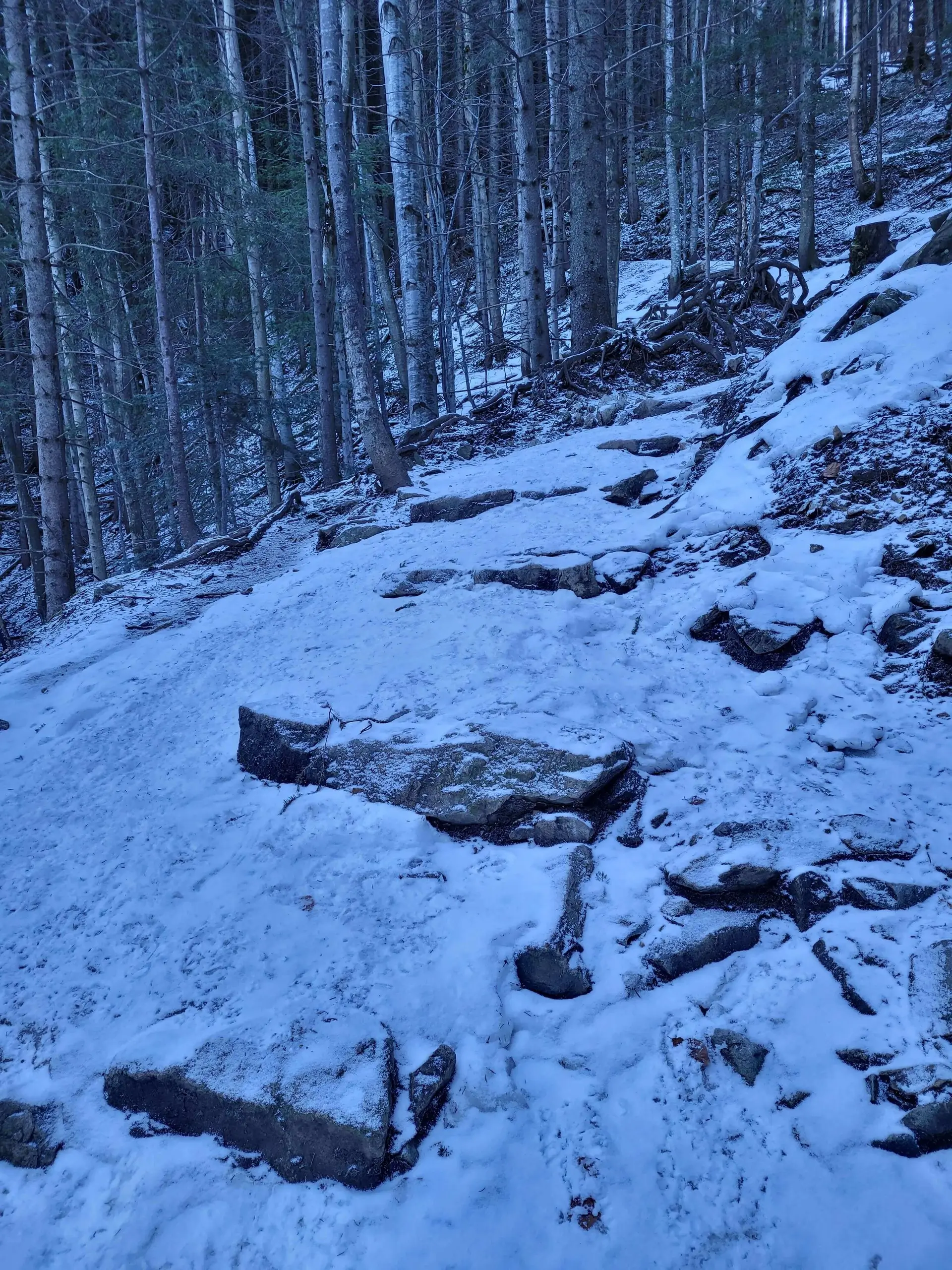
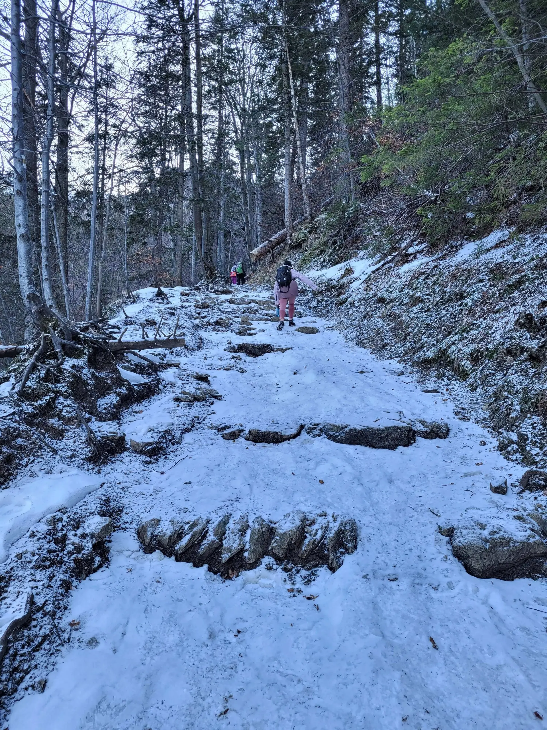
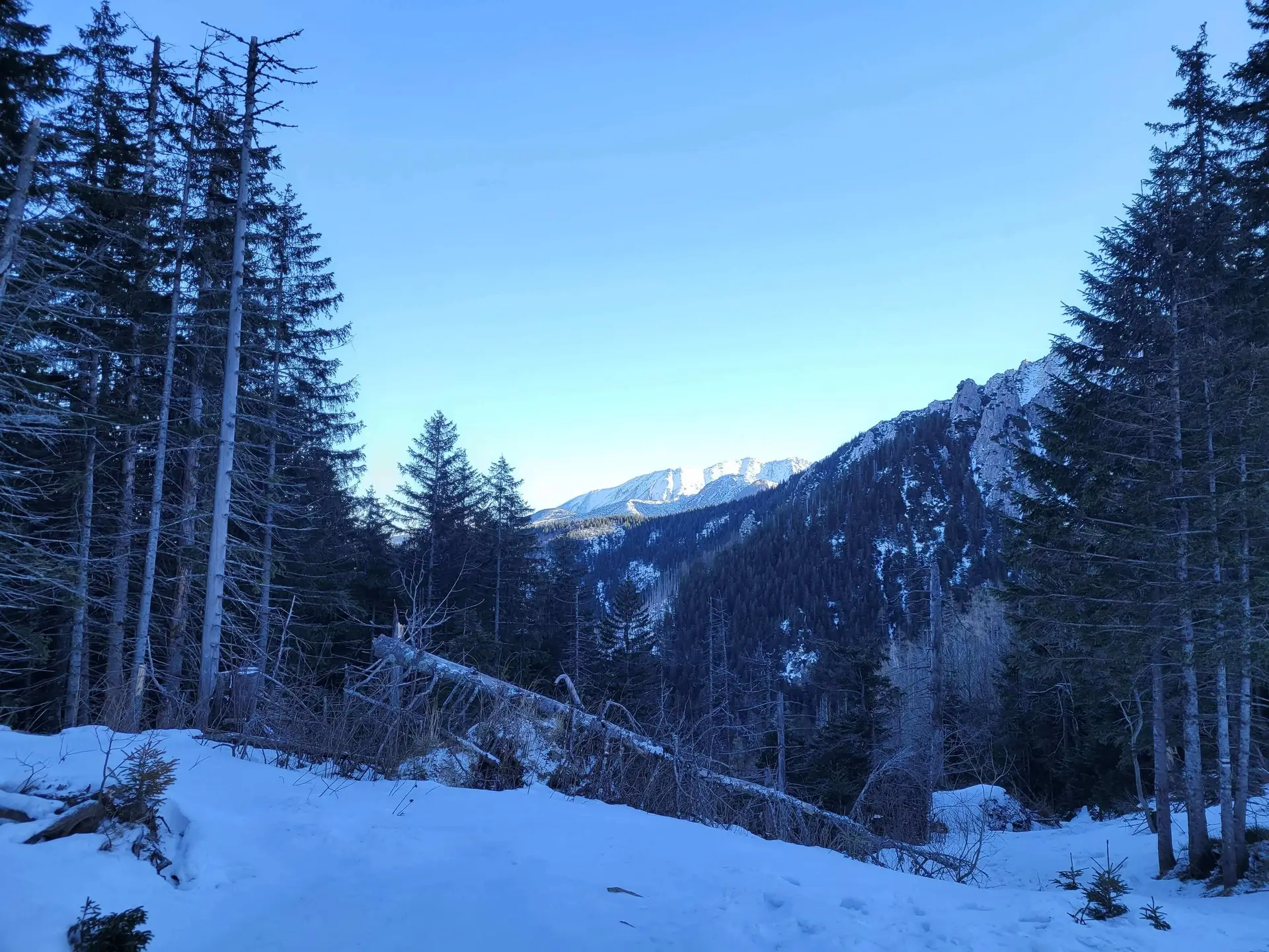
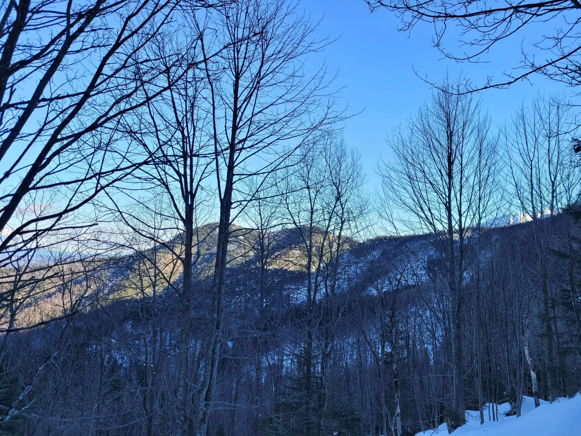
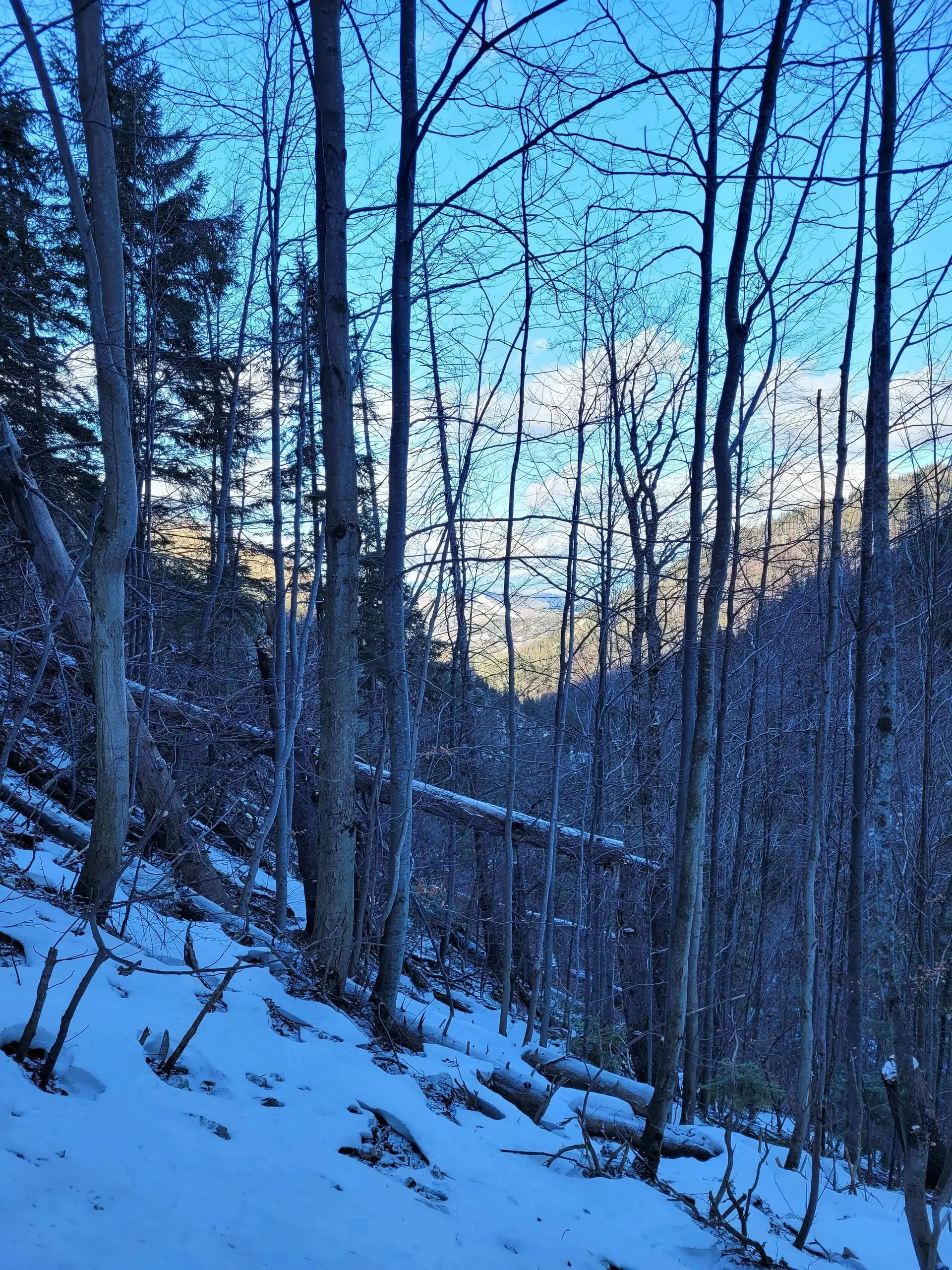
- Ascent (Czerwona Pass): We return to the glade and turn onto the black trail. This is where the effort begins. The path climbs in zigzags through the forest. The ascent is quite steep and can be tiring, but it only takes about 40-50 minutes.
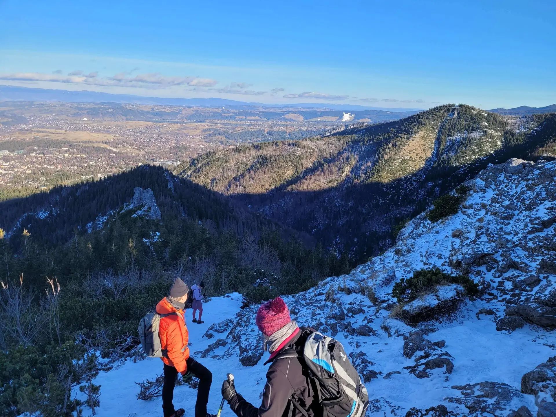
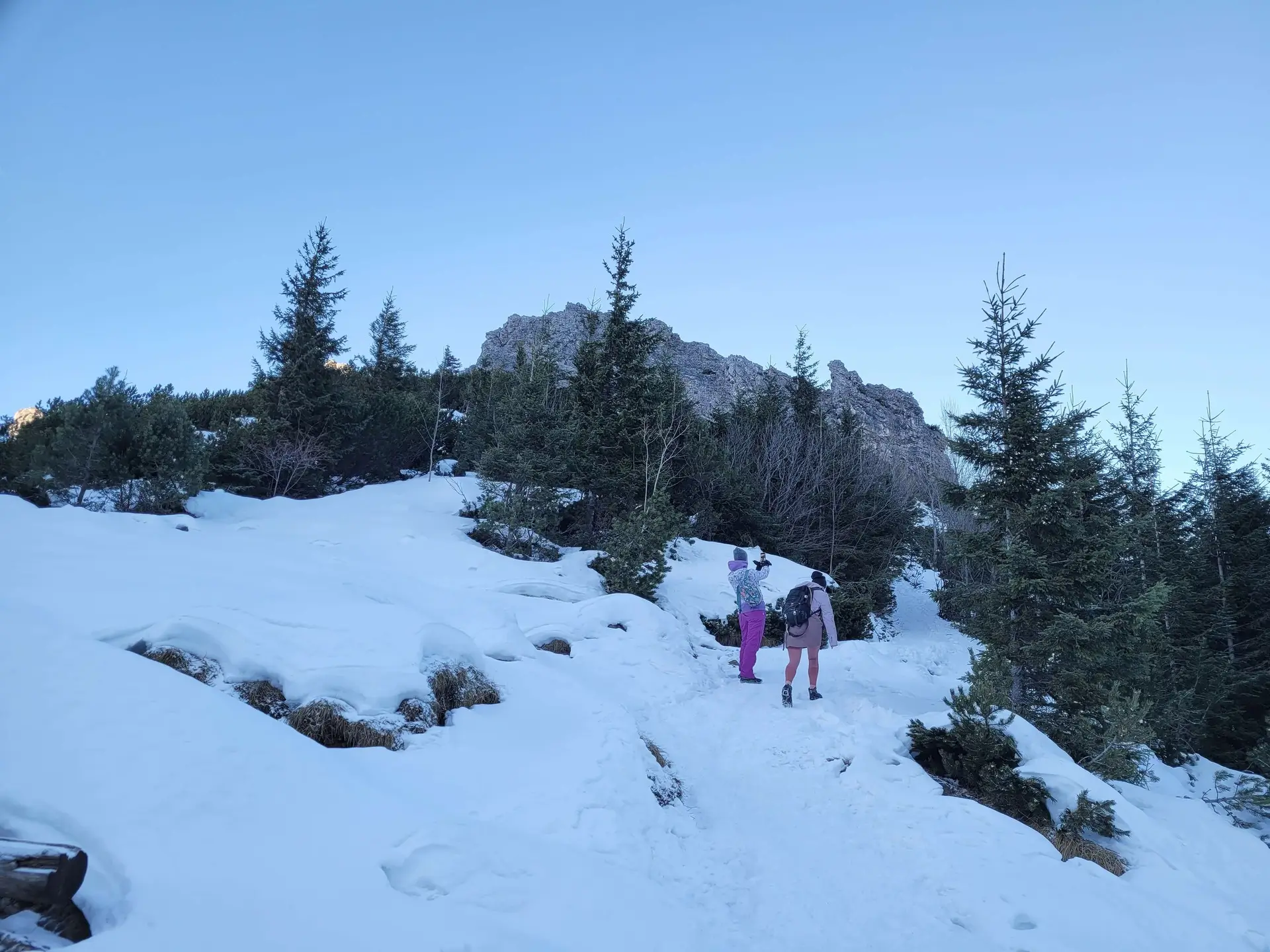
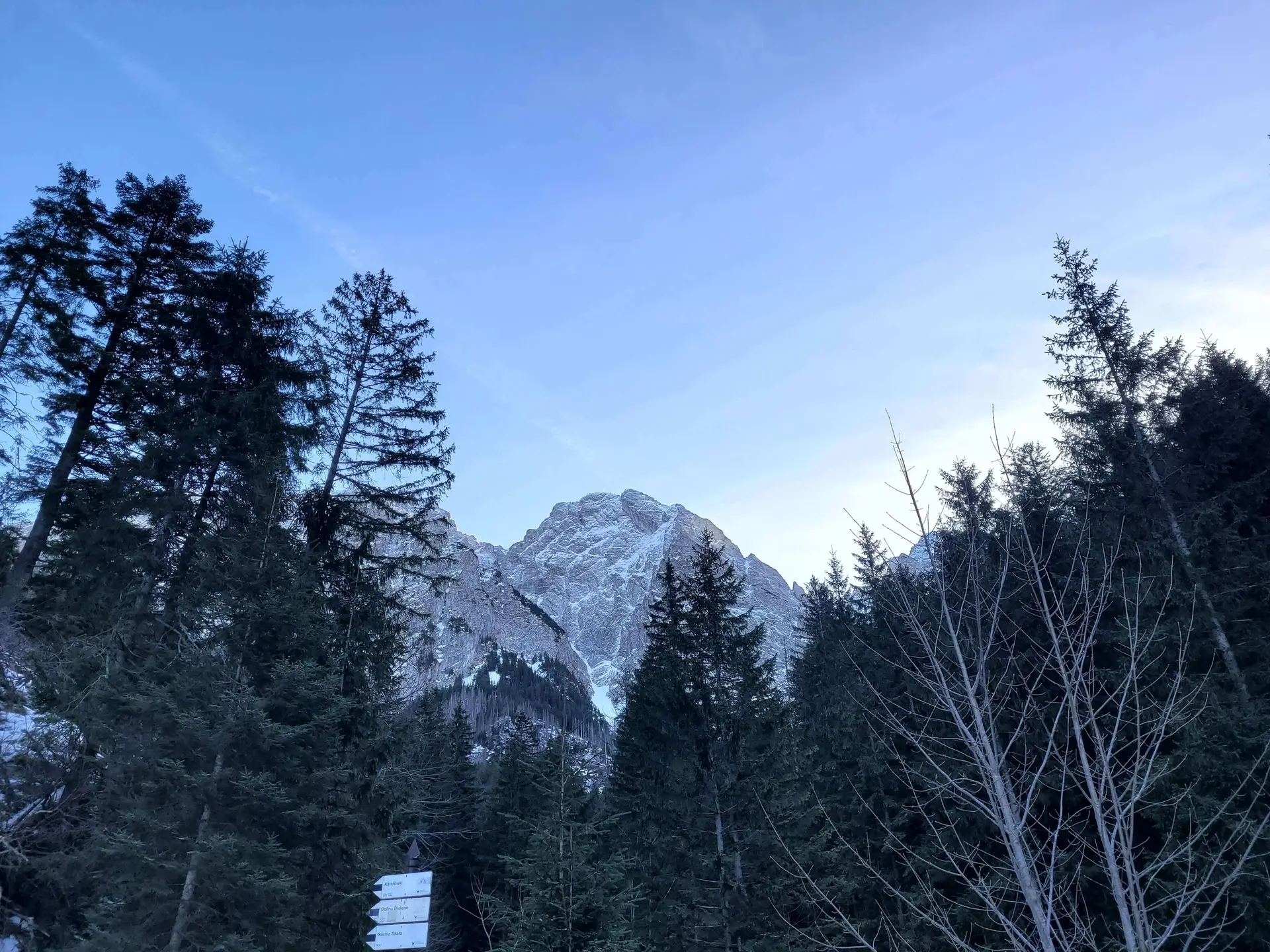
- Summit: From Czerwona Pass to the summit of Sarnia Skała it is a 10-minute climb up a rocky path. The peak is a rocky “island” in a sea of forest.
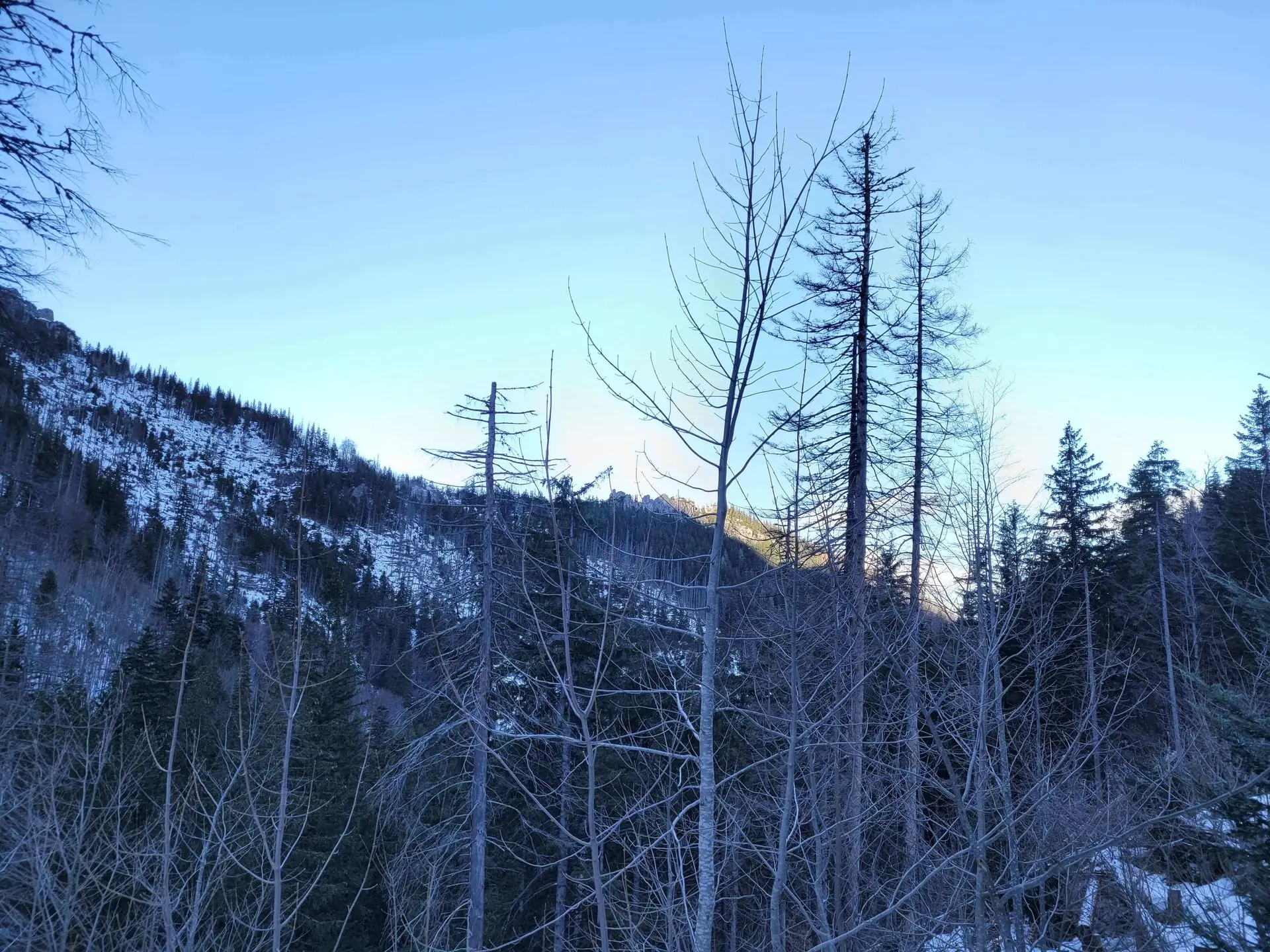
- Descent (via Dolina Białego): From the pass we descend the other way - to Dolina Białego (black trail, then yellow). This descent is extremely scenic, leading over little bridges and through gorges, ending near Wielka Krokiew.
Panorama
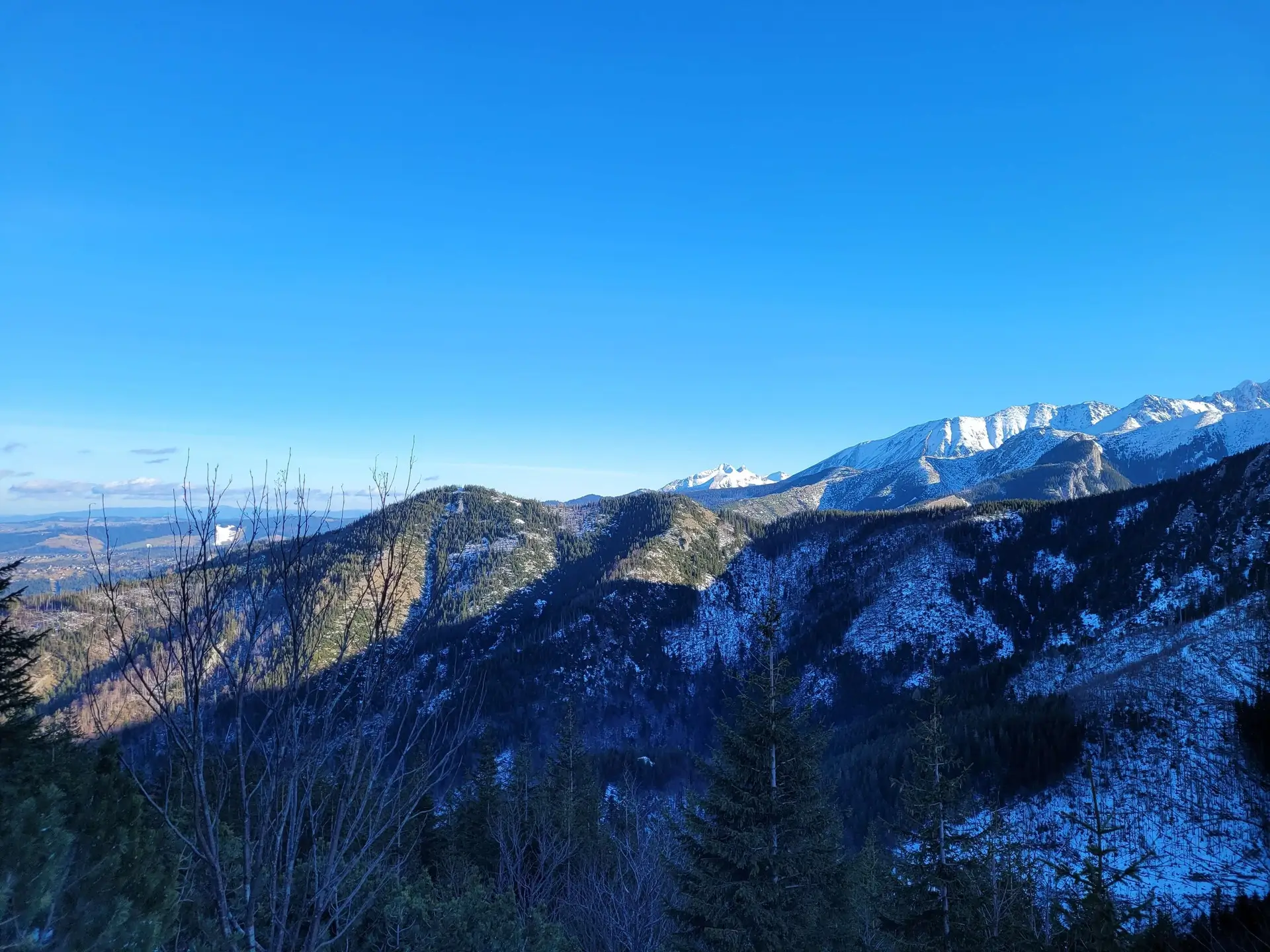
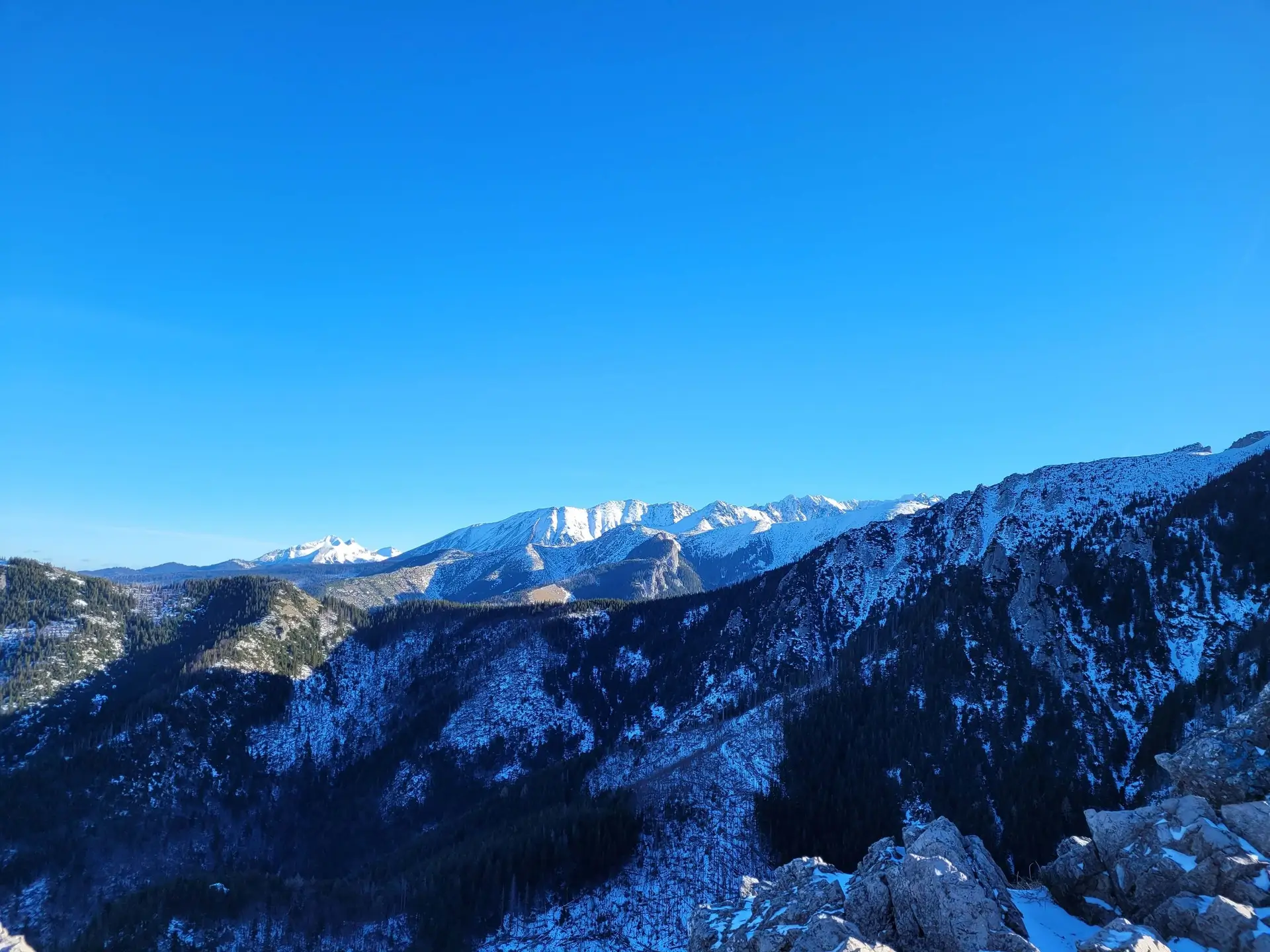
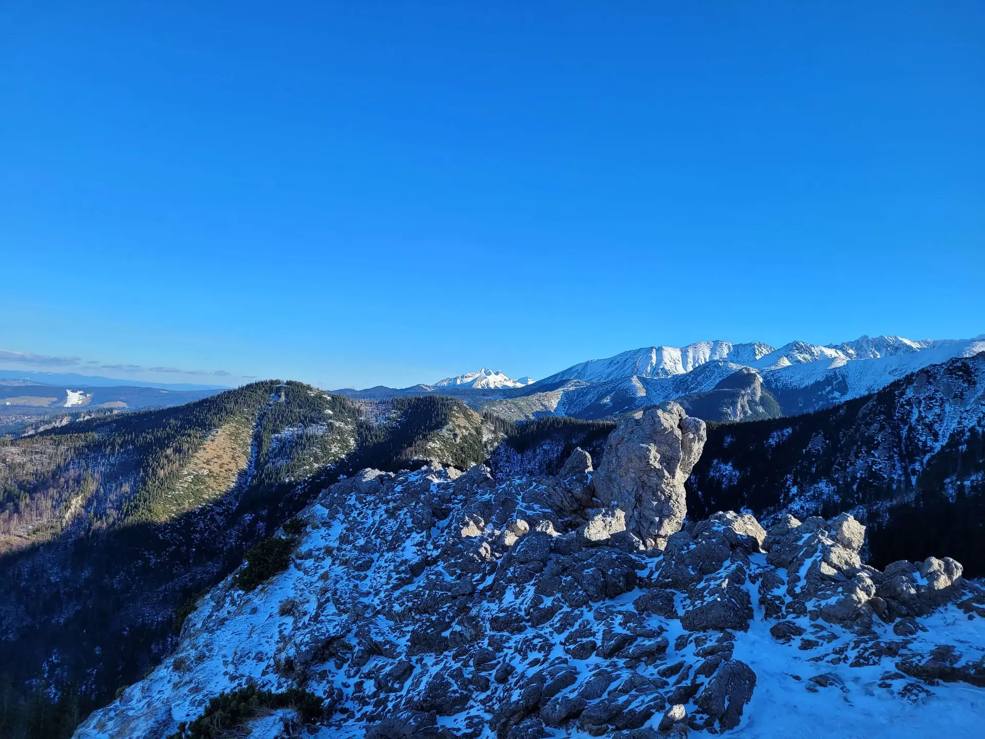
Sarnia Skała offers a 360-degree view, but two directions steal the show:
- South: The vertical, 600-metre wall of Giewont is so close it seems within arms reach. You can see hikers at the cross from here.
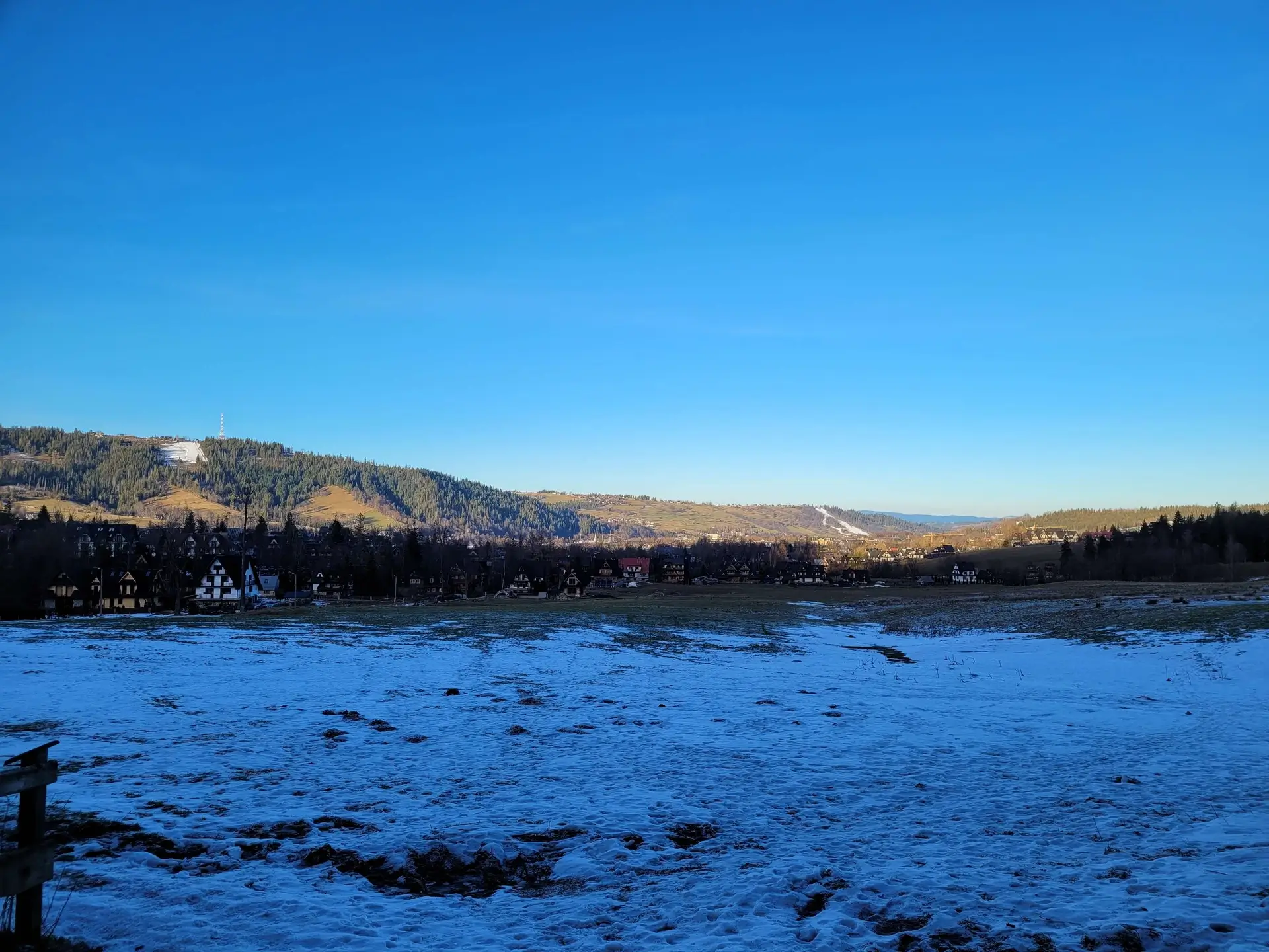
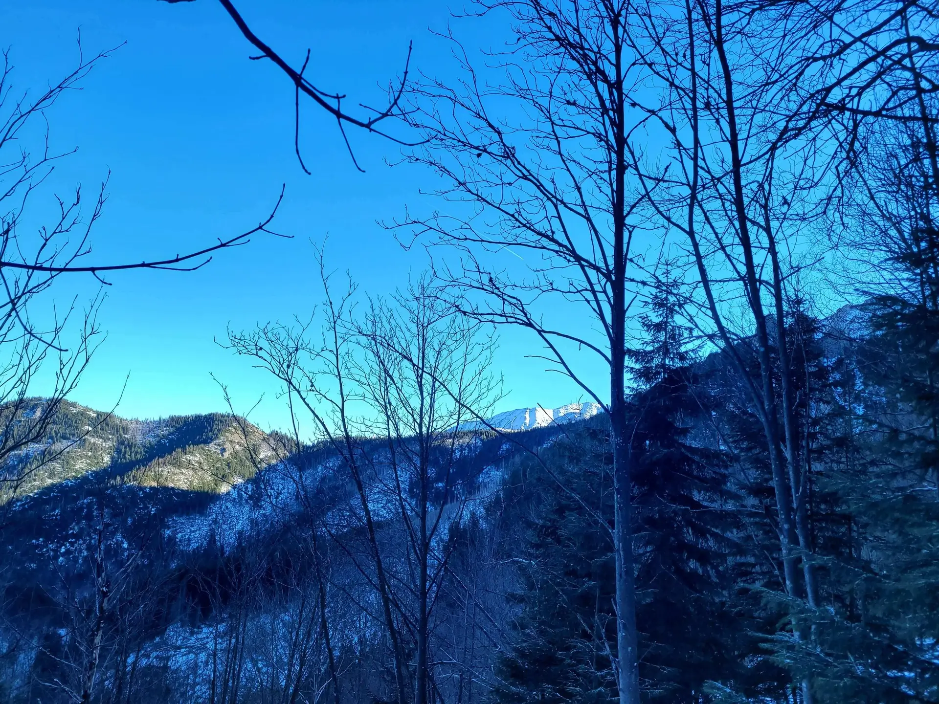
- North: A panorama of Zakopane and Podhale. You can clearly see from here how the town “spills out” below the mountains.
Practical information
- Slippery rocks: The limestone rocks at the very summit are polished to a mirror finish. After rain or in frosty conditions it can be very dangerous here - it is easy to fall.
- For whom: The route is ideal for people who find valleys too little, but high summits still too much.
- Return to the car: If you leave your car at the entrance to Dolina Strążyska and descend via Dolina Białego, you have about 15-20 minutes of walking along the pavement (Ścieżka pod Reglami) to return to your car.
What to see
Pytania i odpowiedzi - Questions and answers
Is the route safe for children?
Which way is best to go up?
Photo gallery


Similar trails
- Difficulty: 12.9 km Duration: 5 h 31 min
Kasprowy Wierch
Difficulty: medium
#western tatras #cable car #panorama +2View trail - Difficulty: 22.6 km Duration: 8 h 50 min
Rakoń
Difficulty: medium
#western tatras #ridge #panorama +1View trail - Difficulty: 4.8 km Duration: 1 h 41 min
Dolina Strążyska i Wodospad Siklawica (The Strążyska Valley and Siklawica Waterfall)
Difficulty: very easy
#western tatras #valley #family-friendly +3View trail
Tags - Tags
Before you head to the mountains
- Check the weather forecast, mountain weather changes dynamically
- Match the trail to your abilities, don't overestimate your strength
- Take appropriate equipment: comfortable hiking boots, rain jacket, warm clothing, map, charged phone, first aid kit, power bank, food and water
- Inform someone about your plans, provide the route and expected return time
- Save the emergency number GOPR/TOPR, 601 100 300 or 985
- Buy a ticket to the Tatra National Park
Recent blog posts
 2026-07-27
Heat at the bottom, a fridge at the summit. How should you dress for the Tatras so you do not ruin the trip?
A sunny morning in Zakopane is the worst advisor when you are packing your backpack. See how the layering system works and why one clothing mistake can turn a summit hike into a nightmare.
#affiliate #gear #tips +5View post 2026-07-20
I betrayed the Tatras for the Pieniny. We did Sokolica and Trzy Korony in one day (with bikes!)
What to do when you are tired of the crowds under Giewont? Head to Szczawnica. Here is our plan for the perfect loop: hike up to the most famous peaks and cycle back along the Dunajec Gorge.
#pieniny #bikes #beyond the tatras +3View post 2026-07-13
I ate, I paid, and I didn’t go broke. Where to eat after hiking in Zakopane?
You hiked for 10 hours and you could eat a horse with hooves? Here’s what to try in Podhale without falling for tourist traps on Krupówki — and what’s actually worth paying for.
#food #tips #zakopane +1View post 2026-07-05
Mountain backpacks: Why your old school backpack will ruin your holiday
A gym sack on Rysy? A cube backpack from high school in the Kościeliska Valley? See why a good backpack matters as much as boots — and how to choose one without wasting money.
#gear #tips #backpack +1View post 2026-06-28
Want the High Tatras but scared of chains? The easiest rocky summits
Do you dream of “real”, sharp, rocky mountains, but the thought of exposure and chains makes your legs shake? Here’s a list of summits you’ll reach like climbing stairs — without climbing gear.
#easy routes #tips #high tatras +2View post 2026-06-21
Mountain gear: What you can save on and what’s worth paying extra for
A 2,000 zł jacket for a walk in the Kościeliska Valley? Overkill. But market boots on Świnica? That’s asking for trouble. Here’s what to cut costs on — and what to splurge on.
#gear #tips #boots +2View post
Did you find the information here useful? I spent quite a bit of time compiling it. If it helped you plan your trip, buy me a virtual coffee! ☕
Buy me a