
Sun in Zakopane, a storm on Kasprowy. Why do the mountains lie about the weather?
You wake up in your guesthouse by Krupówki. A beautiful July sun is shining. You open a popular weather app, type “Zakopane,” and see a sunshine icon for the entire day. “Perfect!” you think, pack some sandwiches, and set off towards Giewont.
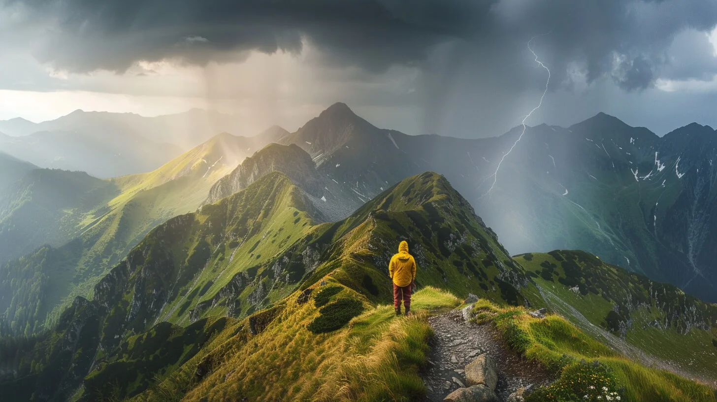
Three hours later, just below the summit, the sky turns coal-black, the temperature drops by 15 degrees, and lightning strikes nearby.
What went wrong? Did the forecast lie? No. The mountains simply play by completely different rules than the lowlands. If you do not want Tatra weather to ruin your trip, you need to learn how to “read” it.
Mistake #1: checking the weather for “Zakopane”
This is the most common mistake hikers make. Zakopane sits at about 800–900 m above sea level. The peaks of the High Tatras, such as Rysy or Świnica, are around 2300–2500 m.
In meteorology there is a rule called the temperature lapse rate: the temperature drops by about 0.6°C for every 100 meters of elevation.
- If it is 25°C in Zakopane, it is around 15°C on Kasprowy Wierch (and that is in ideal conditions, without factoring in the cooling wind on the ridge!).
- How should you check it? Do not look at the forecast for the town. Use apps such as Meteoblue, Mountain Forecast, or Yr.no, which show a forecast (a “meteogram”) for a specific peak and a specific elevation.
Mistake #2: ignoring wind (feels-like temperature)
You see in the forecast that it will be 10°C on Czerwone Wierchy. “Great, I will only take a light hoodie,” you think. But you forget to check the wind. On an exposed ridge, a 50 km/h wind can make the feels-like temperature drop close to 0°C. It almost always blows on ridges. That is why—even in summer—there should always be room in your backpack for a light, windproof jacket (a windstopper/softshell).
The iron rule: “on the summit before noon”
In summer, the Tatras are the kingdom of sudden thermal (convective) storms. How do they form? In the morning, the sun heats up the rocks. The rocks warm the air, which rises quickly and builds huge, towering clouds (cumulonimbus). Around 13:00–15:00 those clouds “burst,” dumping rain, hail, and lightning.
The rule is brutally simple: If you are planning an exposed summit hike with chains (for example Kościelec or Szpiglasowy Wierch), you should pass the hardest point of the route before 12:00. In the afternoon, you should already be on your way down—ideally near a forest or a mountain hut. If at 14:00 you are still climbing towards a summit on a hot day, you are playing Russian roulette.
A storm radar is your third eye
I can tell you this directly: if you are in the mountains and you start hearing thunder, it is already too late for a safe evacuation. Lightning can strike several kilometres ahead of the main storm front.
You have to stay ahead of the situation.
- Install a good app on your phone with a precipitation/thunderstorm radar (for example Burzowo.info or the radar in Meteoblue).
- When you are on the trail (and you have signal), check the radar. If you see a growing red blob approaching from the Slovak side—turn back. No summit ambition is worth being on wet chains during electrical activity.
What if the weather just does not cooperate? (Plan B)
Tatra weather does not have to mean sitting indoors and watching TV. If the forecast shows rain (but WITHOUT storms and strong gusts), the mountains are still yours—you just need to change the plan.
- Instead of heading for the slippery limestone rocks of Sarnia Skała, go for a walk along the valley floor.
- In the rain, Kościeliska Valley or Strążyska Valley take on an incredible, misty atmosphere. Waterfalls are stronger, and the trail is empty. A good rain poncho is enough—you can still go!
Weather in the Tatras can be moody, but it is rarely deadly if you treat it with respect and can read the warnings nature sends you.
Read next
 2026-09-14
Tatra weather - how to read the forecast before you go
Tatra weather can turn a good plan into a wet retreat. Learn how to read forecasts, spot a storm coming, and match your route to the conditions in the Tatras.
#safety#weather#planningView post 2026-08-30
Trial by fire. How do you take a friend into the Tatras without ruining your friendship?
You are in iron shape and want to show your friend or partner the beauty of the Tatras? Before you drag them onto Orla Perć in trainers, read how to plan the trip so they do not come home in tears.
#for beginners#tips#safety+2View post 2026-08-20
15 tabs open in your browser? How to plan a Tatras trip without losing your mind
You look up a trail, then a hotel, then tickets for the thermal baths... and suddenly you have 20 tabs open. See how from today you can do it all in one place, over your morning coffee.
#planning#tips#accommodation+2View post
Related trails
- Distance: 15.6 kmDuration: 8 h 27 min
Czerwone Wierchy (Red Peaks)
Difficulty: average
#western tatras#ridge#fitness+2View trail - Distance: 11.1 kmDuration: 2 h 59 min
Dolina Kościeliska (The Kościeliska Valley)
Difficulty: easy
#western tatras#valley#for family+3View trail - Distance: 4.8 kmDuration: 1 h 41 min
Dolina Strążyska i Wodospad Siklawica (The Strążyska Valley and Siklawica Waterfall)
Difficulty: very easy
#western tatras#valley#for family+3View trail
Plan your trip
These are affiliate links. If you book a stay or a ticket through them, we earn a small commission, for coffee :), at no extra cost to you.
Recent blog posts
 2026-09-17
8 of the best Tatra trails for a good day
The best Tatra trails for beginners and seasoned hikers: specific routes, difficulties, walking times, and advice on when to turn back without taking extra risk in season.
#trails#tatras#views+1View post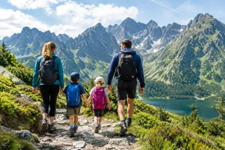 2026-09-16
Trails with kids in the Tatras - 7 routes without the traps
Trails with kids in the Tatras: routes that do not overestimate their strength. Check times, difficulty, weather, pushchairs, crowds and the rules of a safe turnaround.
#for family#ranking#easy routes+1View post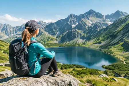 2026-09-15
7 beginner-friendly trails in the Tatras, without the stress
Beginner trails in the Tatras: proven valleys, lakes and viewpoints. Pick a destination, a start time and the right gear without the risky mistakes along the way.
#ranking#trails#viewsView post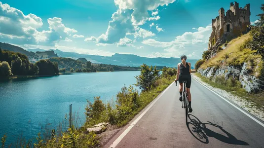 2026-09-10
The Tatras at full throttle and a cycling reset. Our 5-day marathon (and the drive back to Szczecin)
How do you squeeze the most out of a holiday when you have to drive across the whole of Poland? Here is our plan: 4 days of hard hiking in the Tatras and 1 day of cycling chill by Lake Czorsztyn to loosen up the knees.
#trip report#planning#bikes+2View post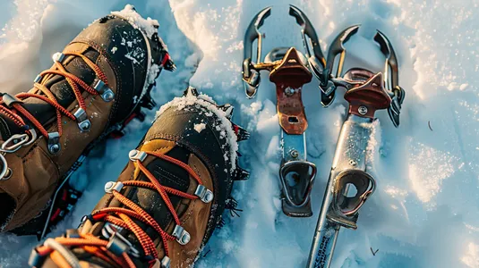 2026-07-28
Crampons or microspikes? How to prepare your gear for a winter trip in the Tatras
Planning a winter walk to Kościeliska Valley or heading up to Grzes? See what gear you need so your hike doesn’t turn into a slide on your own back.
#winter#gear#safety+4View post 2026-07-27
Heat at the bottom, a fridge at the summit. How should you dress for the Tatras so you do not ruin the trip?
A sunny morning in Zakopane is the worst advisor when you are packing your backpack. See how the layering system works and why one clothing mistake can turn a summit hike into a nightmare.
#affiliate#gear#tips+5View post
Popular trails
- Distance: 21.4 kmDuration: 10 h 10 min
Banówka (Baníkov)
Difficulty: difficult (high exposure, climbing, chains!)
#slovakia#western tatras#západné tatry+3View trail - Distance: 19.1 kmDuration: 5 h 54 min
Czarny Staw pod Rysami
Difficulty: moderate
#high tatras#lake#views+1View trail - Distance: 15.6 kmDuration: 8 h 27 min
Czerwone Wierchy (Red Peaks)
Difficulty: average
#western tatras#ridge#fitness+2View trail - Distance: 5.1 kmDuration: 2 h 10 min
Dolina Białego (The Biały Valley)
Difficulty: easy
#western tatras#valley#walk+1View trail - Distance: 12.6 kmDuration: 3 h 45 min
Dolina Chochołowska (The Chochołowska Valley)
Difficulty: easy
#western tatras#valley#for family+1View trail - Distance: 11.1 kmDuration: 2 h 59 min
Dolina Kościeliska (The Kościeliska Valley)
Difficulty: easy
#western tatras#valley#for family+3View trail
Did you find the information here useful? I spent quite a bit of time compiling it. If it helped you plan your trip, buy me a virtual coffee! ☕
Buy me a