
Wielki Kopieniec
No reported closures or obstacles on this trail according to the official TPN bulletin (3 października 2026).
RecommendedCyrhla there and back
- Elevation
- 1328 m a.s.l.
- Distance
- 4.8 km
- Duration
- 1 h 50 min
- Total ascent
- 333 m
- Start
- Toporowa Cyrhla
- Finish
- Toporowa Cyrhla
Pace
1 h 50 minEstimate from the published time, without queues or breaks.
- easy
- green
- Western Tatras
- Family friendly: Yes
- Dog friendly: No
Approach variants
The recommended route is on this page. A different start has its own page — description and map.
| Variant | Start | Duration | Chains | Trail color |
|---|---|---|---|---|
Cyrhla there and backRecommended Green to the meadow and the knoll, back the same way. No chains. The tiles above show this loop. | Toporowa Cyrhla | 1 h 50 min | No |
|
Cyrhla – Kopieniec – Jaszczurówka The summit and a descent through Polana Olczyska. Bus back to Cyrhla. Still no chains. | Toporowa Cyrhla | 2 h 25 min | No |
|
Polana Kopieniec only Huts and the view without the last stone steps. You do not have the summit from here. | Toporowa Cyrhla | 1 h 20 min | No |
|
Recommended
Cyrhla there and back
Green to the meadow and the knoll, back the same way. No chains. The tiles above show this loop.
Map and trail profile
Cyrhla there and back
Getting there, parking & buses
Trailhead logistics – reach the start smoothly without parking hassle.
Parking & car access
Toporowa Cyrhla (by the trail / “7 kotów”)
Parking fee: small, paid, full before 9:00 in season
Quiet roadside car park along Droga Oswalda Balzera. Ideal starting spot for Wielki Kopieniec and Hala Gąsienicowa via Sucha Woda.
Bus & transit access
Buses from Station towards Morskie Oko
Route & bus stop: Zakopane Main Station ➔ Cyrhla stop (right by green trail)
Fare: ~7–9 PLN
Frequent buses on the Zakopane – Morskie Oko route. Journey time is approx. 12 minutes.
Local buses and transit help bypass morning traffic and parking hassles.
Transport guide in the Tips section
Complete guide to Tatra car parks, buses, and TPN reservations.
Wielki Kopieniec (1,328 m a.s.l.) is a knoll above Zakopane from which you can see the Tatras from Osobitá to Havran. It is not high. It is short. That is why half the town stands on it at the weekend.
💡 In a nutshell – Wielki Kopieniec:
- For whom: A first summit, a child on foot, a day with afternoon storms.
- Start: Toporowa Cyrhla, green trail. TPN booth after 15 minutes.
- Pushchair: No. The meadow and summit are a path, not Droga pod Reglami.
- Tip: Spring = crocuses on the meadow. August 11:00 = a queue on the stones.
The tiles count Cyrhla there and back. The descent to Jaszczurówka is in the table.
Trail description: Forest, meadow, knoll
Stage 1: Cyrhla and the booth
From the car park red-green across a field and into forest. TPN boundary, ticket booth, Hala Kopieniec junction. Green stays.
Stage 2: Polana Kopieniec
Shepherds’ huts, the view, a place for a sandwich. The summit is 10–15 min higher on stone steps.
Stage 3: The top
High and Western Tatras at once. Giewont, Kasprowy, Świnica, Koszysta. Then either the same way or green down to Polana Olczyska and Jaszczurówka.
Logistics and practical information
- Parking: Small, paid, gone before 9:00. A city bus to Cyrhla solves it.
- Ticket: TPN from the booth. Online or in the machine.
- Dog: Banned. Do not improvise at the gate.
- Further: From Olczyska you can go to Nosal. That is another card and a steeper path.
Who is this absolutely NOT for?
Not for someone who wants emptiness on an August Sunday. Not with a pushchair “because it is short”. If you want a meadow with a pushchair and Giewont in the frame, take Rusinowa Polana. If you want more steps and the same kind of view — Gęsia Szyja.
Tool
🎒 What to pack? Interactive checklist
Check off items as you pack, switch between summer/winter and clear the list before your next trip. Progress is saved automatically.
What to see
- Panorama from Osobitá to Havran
- Polana Kopieniec and huts
- Crocuses in spring
- A short first summit
Questions and answers
Is this a good first Tatra summit?
Can I take a pushchair?
From Cyrhla or from Jaszczurówka?
Can I bring a dog?
Next trail in this area
Planning your next hike? From the same starting point and area, we recommend:
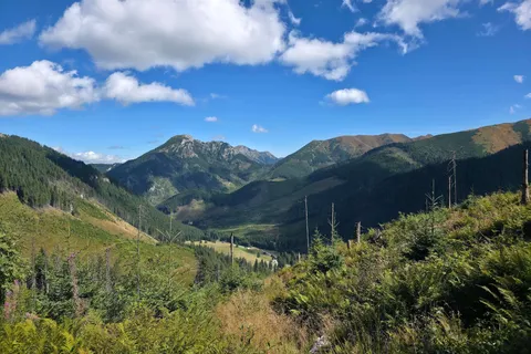
Grześ
Grześ from Siwa Polana: the valley, yellow trail from the hut, Roháče panorama. The tiles are the summit and back. Rakoń and Wołowiec have other pages. No chains.
Similar trails
No photo Distance: 2.5 kmDuration: 58 minNosal
Difficulty: easy
#western tatras#panorama#for family+2View trail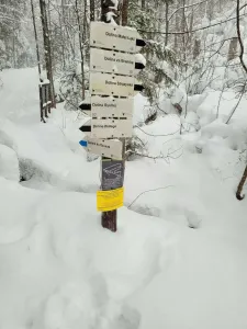 Distance: 5.1 kmDuration: 2 h 10 min
Dolina Białego (The Biały Valley)
Difficulty: easy
#western tatras#valley#for family+2View trailNo photo Distance: 12.6 kmDuration: 3 h 45 minDolina Chochołowska (The Chochołowska Valley)
Difficulty: easy
#western tatras#valley#for family+2View trail

Read next
 2026-09-21
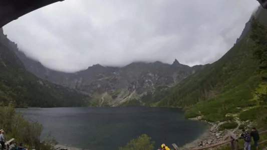
Morskie Oko: how long on foot? Real trail time
Morskie Oko: how long on foot? Check the real walk from Palenica, pace on the trail, stops, weather and a return plan without the summer rush and queues.
#tips#views#planning+1View post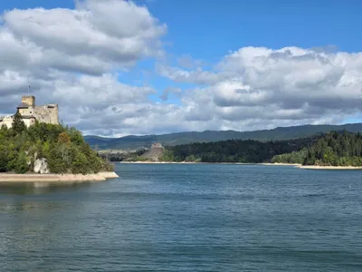 2026-09-20
Lake Czorsztyn attractions for 1 day
Lake Czorsztyn attractions: castles, boat trips, Velo Czorsztyn and views. See what to pick, where to stop, and how to dodge the crowds in summer heat.
#tips#views#summer+2View post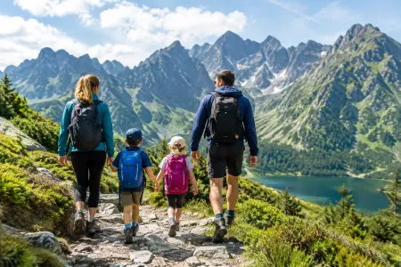 2026-09-16
Trails with kids in the Tatras - 7 routes without the traps
Trails with kids in the Tatras: routes that do not overestimate their strength. Check times, difficulty, weather, pushchairs, crowds and the rules of a safe turnaround.
#for family#ranking#easy routes+1View post
Plan your trip
These are affiliate links. If you book a stay or a ticket through them, we earn a small commission, for coffee :), at no extra cost to you.
Before you head to the mountains
- Check the weather forecast, mountain weather changes dynamically
- Match the trail to your abilities, don't overestimate your strength
- Take appropriate equipment: comfortable hiking boots, rain jacket, warm clothing, map, charged phone, first aid kit, power bank, food and water
- Inform someone about your plans, provide the route and expected return time
- Save the emergency number GOPR/TOPR, 601 100 300 or 985
- Buy a ticket to the Tatra National Park
Recent blog posts
 2026-10-08
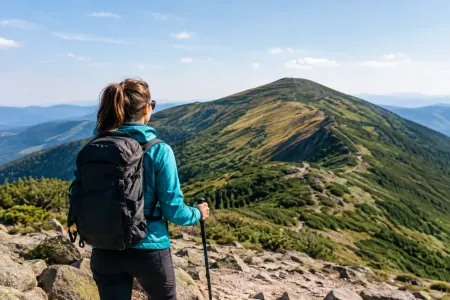
Is Wołowiec hard? A look at the route to the summit
Is Wołowiec hard? See how much effort the climb takes, where the route wears you out, when to turn back, and how to plan the day with some sense.
#planning#tips#safety+1View post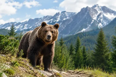 2026-10-07
Bears in Zakopane - what to do if you meet one
Bears in Zakopane: where you might meet one, how not to provoke the animal, and what to do on the trail if a bear stands in your way. Without the panic.
#safety#planning#tips+1View post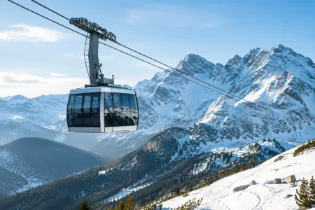 2026-10-06
The Kasprowy cable car - when does it run, and who is it for?
Check when the Kasprowy cable car runs, how weather and maintenance change the timetable, and how to plan the day so you are not standing for hours or walking into a July crowd.
#planning#tips#weather+1View post 2026-10-05
Do you need insurance in Slovakia? Mountain rescue guide
Find out whether you need insurance in Slovakia. The EHIC covers basic healthcare, but will not cover HZS mountain rescue or helicopter costs after an accident.
#safety#tips#slovakia+1View post 2026-10-04
Chains in the Tatras for beginners, without panic
Chains in the Tatras for beginners: how to judge a route, get through a hard section, and know when to turn back safely in bad weather and a crowd.
#planning#tips#safety+1View post 2026-10-04
Tatra Parking, Buses & Trailhead Access. Complete Logistics Guide
Where to park in the Tatras and how to catch local buses? Practical guide to TPN online parking reservations, Kuźnice car restrictions, cash-only rules and Slovakia access.
#tips#logistics#planningView post
Did you find the information here useful? I spent quite a bit of time compiling it. If it helped you plan your trip, buy me a virtual coffee! ☕
Buy me a