Why Do Traffic Jams Form in the Tatras? The Anatomy of a Mountain Crowd
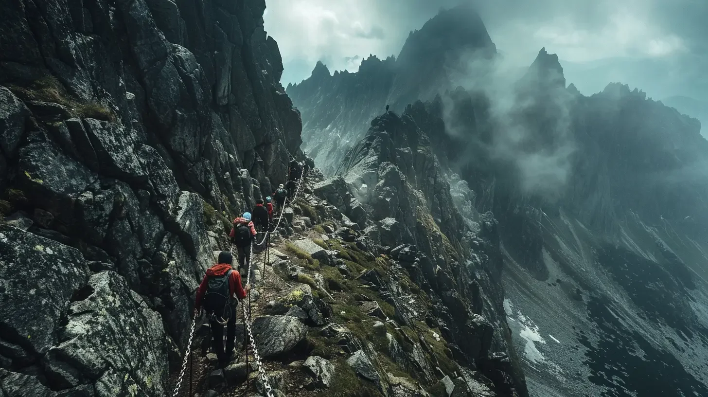
Have you seen those photos on Facebook? The summit of Giewont, with a snake of several hundred people winding across the rocks underneath it. Or the “Death Passing Point” on Rysy, where people stand still for 40 minutes, freezing and muttering under their breath.
Traffic jams used to mean the Zakopianka road. Today they have moved up to an altitude of 2,000 metres. Why this absurdity? Has everyone gone mad? No, it is just pure physics, topography and our own mistakes.
Here is why you end up in a queue in the Tatras and how to avoid it.
1. The “bottleneck” effect (Why is the chain the problem?)
Imagine a three-lane motorway that suddenly narrows to one lane, and on top of that you have to get out of the car and push it by hand. That is how difficult trails in the Tatras work.
You are walking along a wide, comfortable path from Hala Kondratowa. People walk at their own pace and overtake each other. Then suddenly you reach a rock face with a chain.
The chain rule: On one span of chain (from anchor to anchor), there should be only one person.
Most hikers do not have climbing technique. Pulling themselves up takes them four times longer than the “standard” assumes.
One person freezes in fear for three minutes. Fifty more are standing behind them. Congratulations, you have just created a traffic jam.
2. Where will you get stuck for sure? (The blacklist)
There are places in the Tatras where, in July and August, a queue is as certain as rain in Zakopane.
The summit dome of Giewont: A classic. One-way traffic theoretically helps, but getting onto the “sleeping knight” often means an hour of standing still in the sun.
Rysy (the so-called “Passing Point”): In the upper part of the trail (below the notch), there is a narrow section where the uphill and downhill route is the same steep gully. Passing there is a logistical nightmare.
The ladder at Kozia Przelecz (Orla Perc): An eight-metre ladder, a yawning abyss and people paralysed by fear.
The descent from Szpiglasowy Wierch to the Five Ponds Valley: A long chain section where descending hikers (for whom it is harder) mix with those going up.
3. The “golden hour” phenomenon (Everyone leaves at 10:00)
Why do queues form so suddenly? Because as a society we are painfully repetitive. Statistically, 80% of tourists leave their accommodation after breakfast, arrive at the car park (for example in Palenica or Kuznice) between 9:00 and 10:00, and head for the trail.
If we take average walking times into account, those thousands of people arrive at the key difficult spots at exactly the same hour (usually between 12:00 and 14:00). Those are the rush hours, when you wait the longest.
4. How do you avoid mountain traffic jams? (Tricks for the smart)
You do not have to give up Rysy or Giewont. You just have to stop doing what everyone else does.
The “crazy” method (dawn): Set off on the trail at 5:00 in the morning. You will be on Giewont by 8:00 and have breakfast alone under the cross. When you pass people on the way down, you will look at their sweat with a compassionate smile.
The “with the wind” method (Slovakia): There are not as many chains on the southern side of the Tatras (except for Rohatka, for example). If you go for somewhere like Krywan or Baraniec, you will get utterly exhausted, but you will not stand in a queue for even a minute, because the terrain is wide.
Choose one-way trails wisely: If you are going to Szpiglasowy Wierch, go up from the Five Ponds Valley side. Climbing chains is faster and safer than descending them (when most people get stuck staring into the abyss).
Mountains in season are a compromise. If you are heading to the country’s most popular peak on Saturday 15 August, pack some lemon balm tea to calm yourself down. Or just turn off to the side, towards the Czerwone Wierchy, where instead of a traffic jam you will only end up in a sheep pile at worst.

 2026-09-28
 2026-09-22
 2026-09-18
 2026-09-27
 2026-09-26
 2026-09-25
 2026-09-24
 2026-09-23
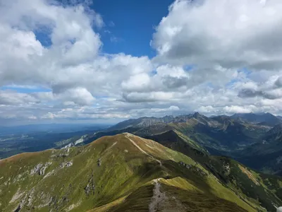 Distance: 18.5 kmDuration: 8 h 09 min
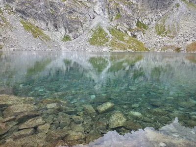 Distance: 24.7 kmDuration: 7 h 38 min
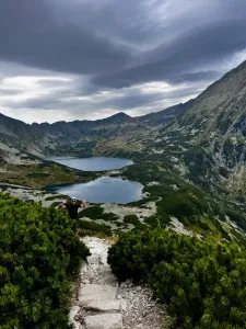 Distance: 16.5 kmDuration: 5 h 45 min
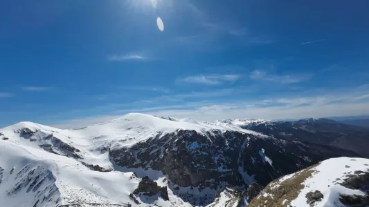 Distance: 6 kmDuration: 3 h 15 min
 Distance: 18.1 kmDuration: 6 h 50 min