Difficulty: ModerateWestern Tatras
Kasprowy Wierch via Gąsienicowa
Start: Kuźnice · via Murowaniec hut and Hala Gąsienicowa
- 4:01 h
- Time
- 7.6 km
- Distance
- +1056 m
- Ascent
2172 m a.s.l. · trail red / yellow · start: Palenica Białczańska
Snow and ice reported in upper Tatras. Crampons, ice axe, helmet and winter mountaineering experience required.
Warunki do uprawiania turystyki w wyższych partiach Tatr Wysokich są wciąż trudne - występuje tam miejscami śnieg i oblodzenia, zwłaszcza po stronie północnej - jest bardzo ślisko. Wyjścia w te partie Tatr wymagają doświadczenia w zimowej turystyce górskiej oraz użycia odpowiedniego sprzętu – raków, czekana i kasku, wraz z umiejętnością posługiwania się nim.
PolecanyCeprostrada out and back
Czas i dystans dla całej wycieczki, z powrotem do startu.
Tempo
9 h 03 minSzacunek od czasu z opisu, bez kolejek i postojów.
Polecany jest na tej stronie. Inny start ma osobną kartę — własny opis i mapę.
| Wariant | Start | Czas przejścia | Łańcuchy | Kolor szlaku |
|---|---|---|---|---|
Ceprostrada out and backPolecany Tarmac to Morskie Oko, yellow to the pass and summit, same way back. No chains. The figures at the top of the page show this loop. | Palenica Białczańska | 9 h 03 min | Nie |
|
Loop via Five Lakes Chains up, Ceprostrada down. Separate page with its own map. Two valleys, a short chain. Zobacz ten szlak → | Palenica Białczańska | 9 h 22 min | TakA short section from Five Lakes, not Ceprostrada. |
|
Polecany
Ceprostrada out and back
Tarmac to Morskie Oko, yellow to the pass and summit, same way back. No chains. The figures at the top of the page show this loop.
Ceprostrada out and back
Wykres podejść wygenerowany ze śladu GPX. Przesuń kursor lub palec po wykresie, aby sprawdzić profil podejścia i punkty kulminacyjne.
Wgraj trasę do zegarka sportowego (Garmin, Coros, Suunto, Apple Watch) lub aplikacji nawigacyjnej (Mapy.cz, Komoot, Locus Map, Strava) i nawiguj po szlaku w trybie offline bez zasięgu.
Szpiglasowy Wierch (2,172 m a.s.l.) is an absolute hit of the High Tatras. This summit is famous for one thing: the panorama. Standing on top, you have two of the largest Tatra valleys beneath your feet at the same time: on one side the “well” of Morskie Oko and Czarny Staw, on the other the vast plateau of the Valley of Five Polish Lakes.
💡 In a nutshell – Szpiglasowy Wierch in a nutshell:
- For whom: For people with very good fitness who want to climb over 2,100 m without chains (the Ceprostrada variant).
- Difficulties: No precipices or chains, but the distance is a monster (almost 25 km from the car park and back).
- Views: From the pass and the summit, you can see both Morskie Oko and the Valley of Five Lakes at the same time.
- Variant with chains: If you want to do the loop via Five Lakes, remember that there (from the D5S side) is a short but steep section with chains.
For many hikers, it is a natural “next step” after reaching Giewont or Czerwone Wierchy, and before attacking Rysy.
The variant recommended on this page is technically the easiest route to Szpiglasowy Wierch. There is not a single chain here, no precipices. However, there is a lot of walking.
We start at the car park in Palenica Białczańska and head along the red trail (the famous tarmac road) towards Morskie Oko. This is an 8-kilometre walk, which you can shorten by taking a horse-drawn carriage (though you still have a solid effort ahead of you higher up).
From the mountain hut at Morskie Oko, we join the yellow trail. This is the famous “Ceprostrada” – a wide, comfortable path made of large boulders that climbs in gentle zigzags up the slopes of Miedziane.
Ceprostrada leads us to Szpiglas Pass. From here, it is literally a 15-minute walk along the ridge to the summit of Szpiglasowy Wierch. This is where the legendary view of two valleys at once opens up! After resting, we return exactly the same way (yellow trail to Morskie Oko, then tarmac to Palenica).
If you want to vary your trip and see both valleys “up close”, you can climb Szpiglasowy Wierch from the Valley of Five Lakes and descend via Ceprostrada.
Do not bring people here who complain about leg pain halfway up the tarmac to Morskie Oko. Do not be fooled by the name “Ceprostrada” (tourist highway) – this is not a promenade, it is still high mountains. Do not go here in ordinary trainers, especially after rain, because it is easy to take a painful fall on wet boulders.
Trailhead logistics – reach the start smoothly without parking hassle.
TPN Car Park Palenica Białczańska / Łysa Polana
Parking fee: 45–65 PLN / day (seasonal dynamic pricing via tpn.pl/bilety only)
No on-site ticket sales! QR e-tickets must be booked online in advance via tpn.pl. During peak season, slots sell out days ahead. Cars without booking are turned away at the roundabout.
Buses from Zakopane Station (towards Morskie Oko)
Route & bus stop: Main Station (Platform 1) ➔ Cyrhla ➔ Wierch Poroniec ➔ Palenica Białczańska
Fare: ~15–20 PLN one-way
Departures every 10–15 min from early morning. CAUTION on return: last buses from Palenica leave around 19:30–20:30 depending on season. Miss them, and you will need an expensive taxi.
Local buses and transit help bypass morning traffic and parking hassles.
Complete guide to Tatra car parks, buses, and TPN reservations.
Tool
Check off items as you pack, switch between summer/winter and clear the list before your next trip. Progress is saved automatically.
Newsletter
A few times a year: trail conditions, closures, the best time to go and new routes. No weekly spam.
Planning your next hike? From the same starting point and area, we recommend:
Zawrat Pass (2158 m) from Palenica via the Five Polish Lakes Valley: 11.3 km, 4 h 45 min up, no chains. The easier side of the pass. When not to go on to Orla Perć.
Start: Kuźnice · via Murowaniec hut and Hala Gąsienicowa
Start: Palenica Białczańska · via Views of Morskie Oko from above and The shadow of Rysy and Kazalnica
Start: Kuźnice · via Four 2,000-metre peaks and Kopa Kondracka
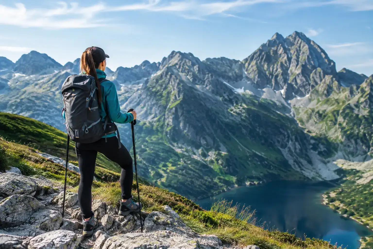
How to plan a trip up Rysy: the route, the weather, the kit, the fitness and the decisions that let you enjoy the summit without needless risk in the Polish Tatras.
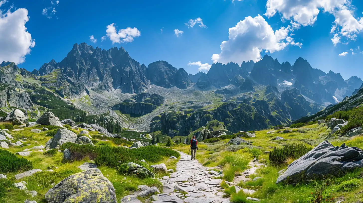
Do you dream of “real”, sharp, rocky mountains, but the thought of exposure and chains makes your legs shake? Here’s a list of summits you’ll reach like climbing stairs — without climbing gear.
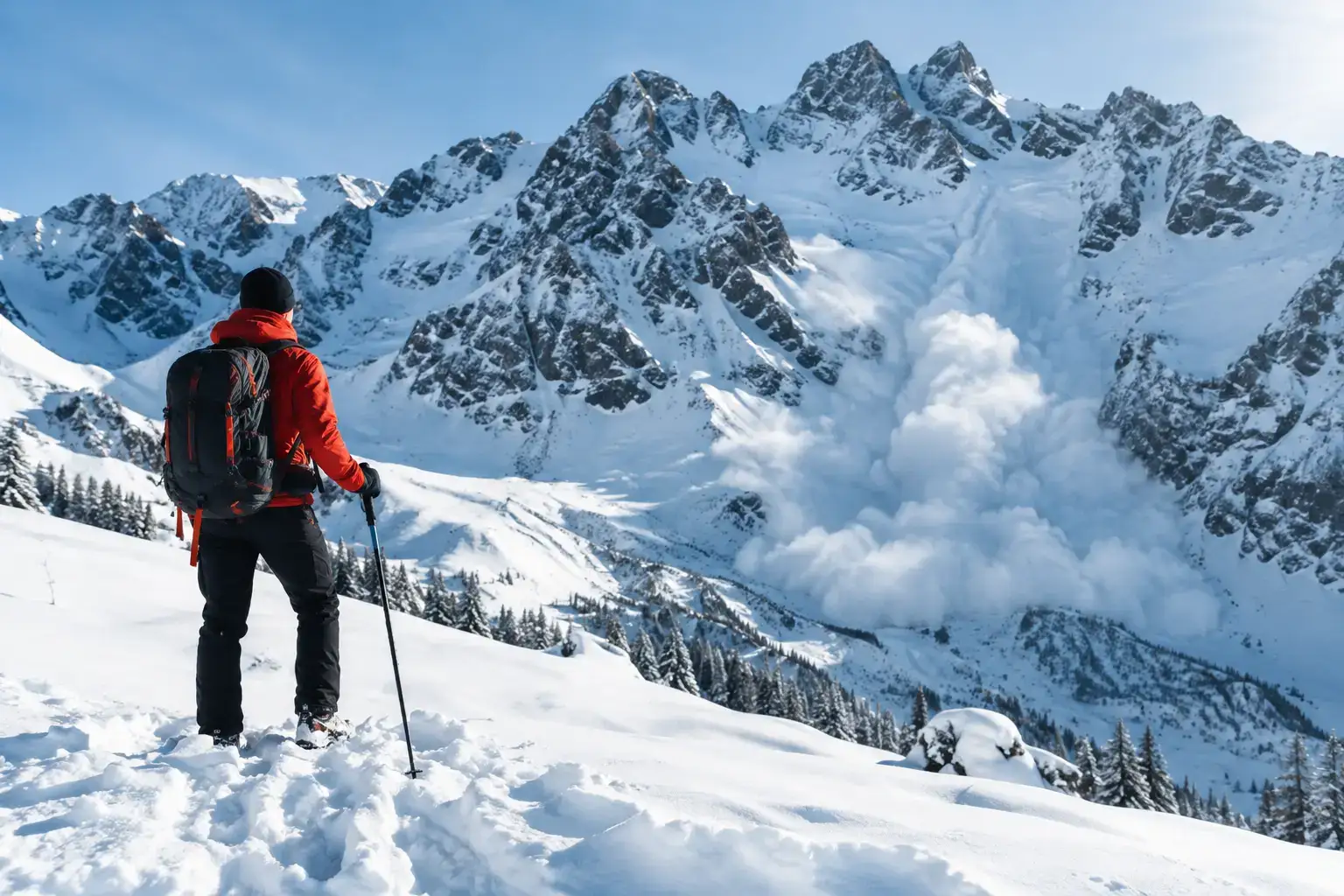
Avalanches in the Tatras do not forgive a rush. Check the bulletin, the weather, the ground and the decisions that help you get back safely from a ski tour or a hike.
These are affiliate links. If you book a stay or a ticket through them, we earn a small commission, for coffee :), at no extra cost to you.