Easy trails in the Tatras
An easy Tatra trail can still wreck your knees if it is long, icy, or packed. These are routes without chains or exposure: valleys, meadows, and short summits. They work for a first day, shaky weather, and kids. After rain the rocks are still slippery, and Morskie Oko is still more than 15 km even though the surface is asphalt.
Found 17 results for easy routes
Trails (14)
 Distance: 5.1 kmDuration: 2 h 10 min
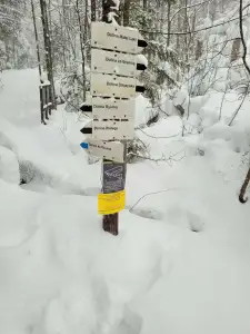
Dolina Białego (The Biały Valley)
Dolina Białego, a gorge walk right from Zakopane: 5.1 km, 2 h 10 min there and back, easy. Pushchair only in the lower part. The Sarnia Skała loop is separate.
Difficulty: easy
#western tatras#valley#for family+2View trailNo photo Distance: 12.6 kmDuration: 3 h 45 minDolina Chochołowska (The Chochołowska Valley)
Dolina Chochołowska from Siwa Polana to the mountain hut: 12.6 km, 3 h 45 min, easy. The only valley in Tatra National Park open to dogs on a lead. Bikes, crocuses.
Difficulty: easy
#western tatras#valley#for family+2View trailNo photo Distance: 4.2 kmDuration: 1 h 47 minDolina Małej Łąki (The Mała Łąka Valley)
Dolina Małej Łąki from Gronik to Wielka Polana with a view of Giewont: 4.2 km, 1 h 47 min, easy and quieter than the other valleys near Zakopane.
Difficulty: easy
#western tatras#valley#for family+2View trailNo photo Distance: 10.1 kmDuration: 3 h 26 minDolina Siedmich prameňov (Chata Plesnivec)
Dolina Siedmiu Źródeł from Tatranská Kotlina to Chata Plesnivec, the only hut in the Belianske Tatras: 10.1 km, 3 h 26 min, short and steep, no chains.
Difficulty: moderate (short, steep)
#slovakia#valley#mountain huts+2View trail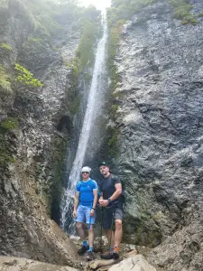 Distance: 4.8 kmDuration: 1 h 41 min
Dolina Strążyska i Wodospad Siklawica (The Strążyska Valley and Siklawica Waterfall)
Dolina Strążyska from Zakopane to Siklawica waterfall: 4.8 km, 1 h 41 min, very easy. Pushchair to the tea room on the meadow. Parking and the Sarnia Skała add-on.
Difficulty: very easy
#western tatras#valley#for family+2View trail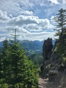 Distance: 9 kmDuration: 2 h 55 min
Gęsia Szyja
Gęsia Szyja (1489 m) from Wierch Poroniec via Rusinowa Polana: 9 km, 2 h 55 min, easy but hundreds of steps. One of the best High Tatras panoramas near Zakopane.
Difficulty: easy
#high tatras#panorama#for family+1View trail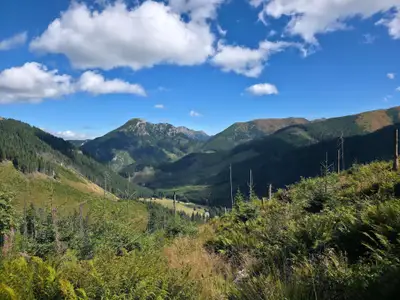 Distance: 18.1 kmDuration: 6 h 50 min
Grześ
Grześ (1653 m) from Siwa Polana via the Chochołowska Valley and hut: 18.1 km, 6 h 50 min, easy, no chains. A Roháče panorama to start the Western Tatras.
Difficulty: easy
#western tatras#panorama#for family+2View trail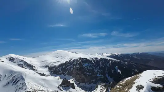 Distance: 7.2 kmDuration: 3 h 20 min
Kalatówki and Hala Kondratowa
Kalatówki and Hala Kondratowa from Kuźnice: an easy walk to the Kondratowa hut, 7.2 km, 3 h 20 min, +327 m. A good first day in the Tatras.
Difficulty: easy
#western tatras#easy routes#for family+1View trail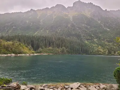 Distance: 15.5 kmDuration: 4 h 14 min
Morskie Oko
Morskie Oko from Palenica Białczańska on the tarmac road: 15.5 km, 4 h 14 min, easy, pushchair-friendly. Parking reservation, buses from Zakopane, horse carts.
Difficulty: easy
#high tatras#lake#for family+2View trailNo photo Distance: 2.5 kmDuration: 58 minNosal
Nosal (1206 m) from Kuźnice: a short 2.5 km loop in 58 min, easy, no chains. A quick view over Zakopane and Giewont for a first day or an afternoon.
Difficulty: easy
#western tatras#panorama#for family+2View trailNo photo Distance: 9.6 kmDuration: 3 hPopradské pleso and the Symbolic Cemetery
Popradské pleso from the Tatra electric railway stop and the Symbolic Cemetery under Ostrva: 9.6 km, 3 h, +280 m, easy. A simple walk in the Slovak High Tatras.
Difficulty: easy
#slovakia#high tatras#lake+2View trail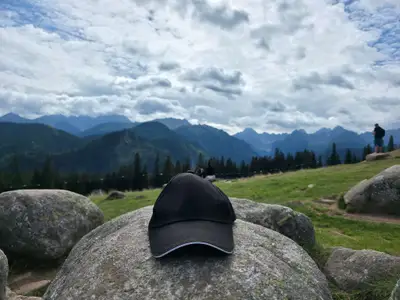 Distance: 7.5 kmDuration: 2 h 19 min
Rusinowa Polana and Wiktorówki
Rusinowa Polana and Wiktorówki from Wierch Poroniec: 7.5 km, 2 h 19 min, very easy, pushchair-friendly. A High Tatras panorama for little effort. Parking.
Difficulty: very easy
#high tatras#panorama#for family+2View trail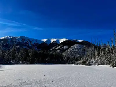 Distance: 13.5 kmDuration: 3 h 52 min
Smreczyński Staw
Smreczyński Staw from Kiry via the Kościeliska Valley and the Ornak hut: 13.5 km, 3 h 52 min, easy, no chains. A quiet lake in a spruce forest near Zakopane.
Difficulty: easy
#western tatras#lake#for family+2View trailNo photo Distance: 4.8 kmDuration: 1 h 50 minWielki Kopieniec
Wielki Kopieniec (1328 m) from Toporowa Cyrhla near Zakopane: 4.8 km, 1 h 50 min, easy. A warm-up summit: meadow, shepherd huts, spring crocuses and Tatra views.
Difficulty: easy
#western tatras#easy routes#panorama+2View trail
Blog (3)
 2026-09-16
Trails with kids in the Tatras - 7 routes without the traps
Trails with kids in the Tatras: routes that do not overestimate their strength. Check times, difficulty, weather, pushchairs, crowds and the rules of a safe turnaround.
#for family#ranking#easy routes+1View post 2026-06-28
Want the High Tatras but scared of chains? The easiest rocky summits
Do you dream of “real”, sharp, rocky mountains, but the thought of exposure and chains makes your legs shake? Here’s a list of summits you’ll reach like climbing stairs — without climbing gear.
#easy routes#tips#high tatras+2View post 2026-06-07
Quick picks: 5 short Tatras trails when you only have half a day
You arrived Friday afternoon? You’re leaving in the morning, but you still want to feel the mountains? Or you just overslept? Here are 5 short but spectacular Tatras trails you can do “in one go”.
#easy routes#tips#short hikes+1View post