
Kasprowy Wierch via Gąsienicowa
RecommendedVia Hala Gąsienicowa
- 1987 m a.s.l.
- medium
- blue
- yellow
- Western Tatras
- Family friendly: No
- Dog friendly: No
- 4 photos
Approach variants
The recommended route is on this page. A different start has its own page — description and map.
| Variant | Start | Duration | Chains | Trail color |
|---|---|---|---|---|
Via Hala GąsienicowaRecommended Boczań, Murowaniec, Sucha Pass. The map shows this climb. Count the descent separately. No chains. | Kuźnice | 4 h 01 min | No |
|
Green from Kuźnice Myślenickie Turnie and switchbacks. Separate page, there and back. View this trail → | Kuźnice | 5 h 31 min | No |
|
Recommended
Via Hala Gąsienicowa
Boczań, Murowaniec, Sucha Pass. The map shows this climb. Count the descent separately. No chains.
Map and trail profile
Via Hala Gąsienicowa
Kasprowy via Gąsienicowa is not the green trail under the cable car. The summit is the same (1,987 m), and there are still no chains. You take blue onto the Hala, yellow onto Sucha Pass.
The tiles and map are the ascent: 7.6 km, 4 h 01 min, 1,056 m up. The map skips the green descent to Kuźnice or yellow back to the Hala.
Trail description
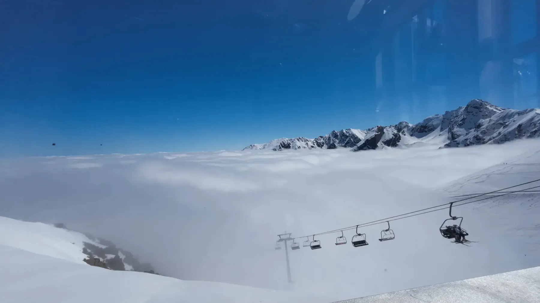
Start in Kuźnice, as on the green trail. You turn off immediately.
- Kuźnice – Murowaniec (blue over Boczań, about 2 h 15 min): Ridge, views of Giewont and Zakopane, Przełęcz między Kopami, down onto the Hala. This is the same Boczań as on the Hala Gąsienicowa page — here you do not turn back to Czarny Staw, you keep going up.
- Murowaniec – Dwoiśniak (yellow, about 40 min): Stones, the Gąsienicowa chairlift to the side. In summer the crowds can be lighter than on green under the cable car; in winter yellow can be avalanche-prone.
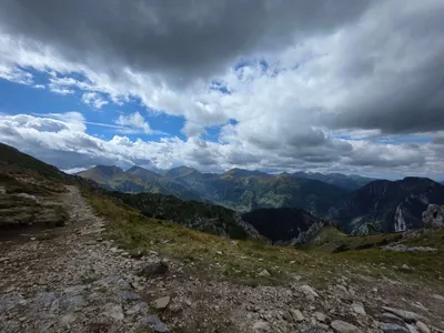
- Dwoiśniak – Sucha Pass (yellow, about 55 min): Above the dwarf pine. Wind. Sucha Pass is the saddle between Kasprowy and Beskid, not “already the summit”.
- Sucha Pass – Kasprowy (red, about 10 min): A short stretch over slabs and steps by the IMGW observatory. Leave the red trail to Świnica here — that has chains and a different page.
Panorama
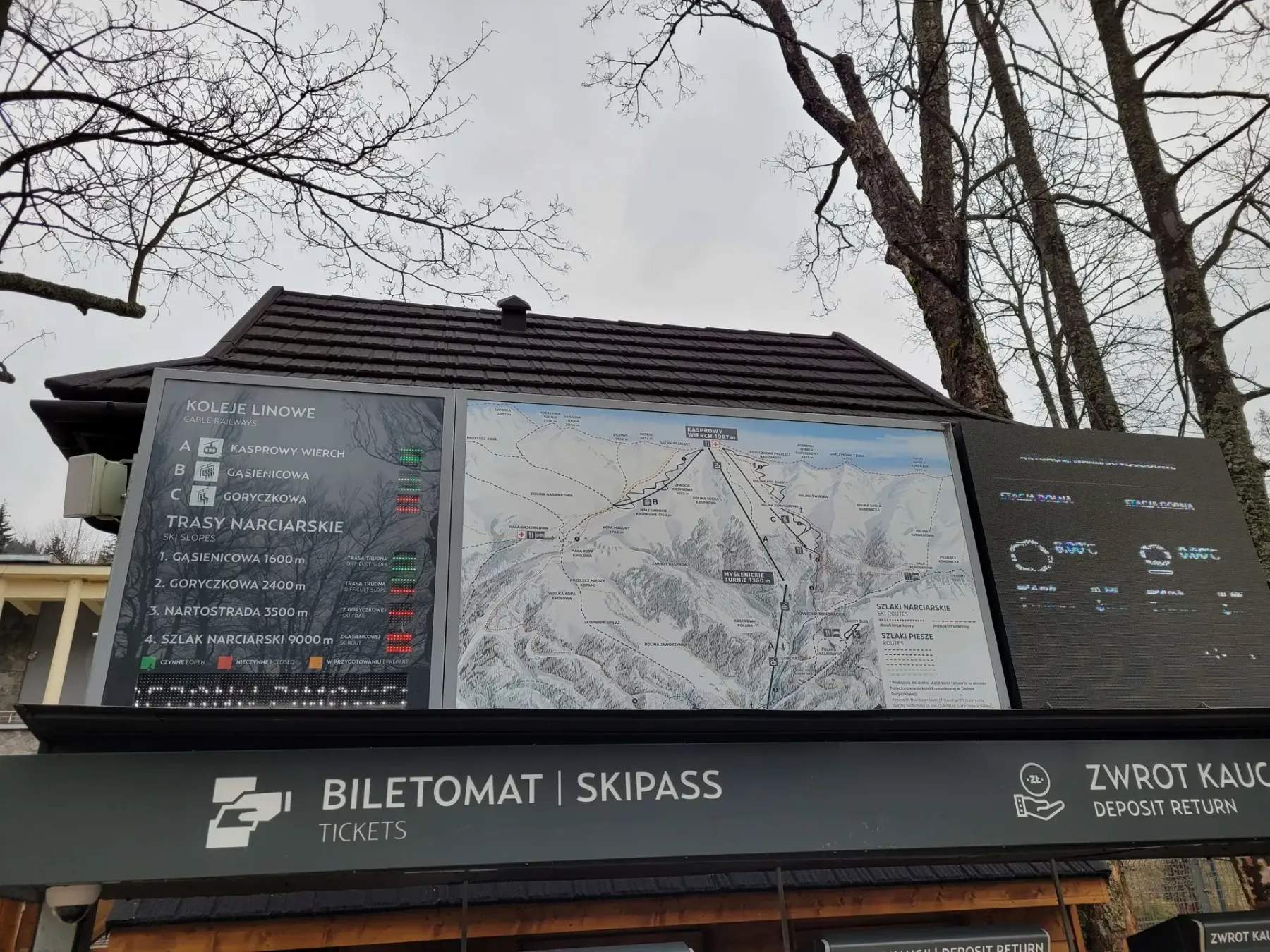
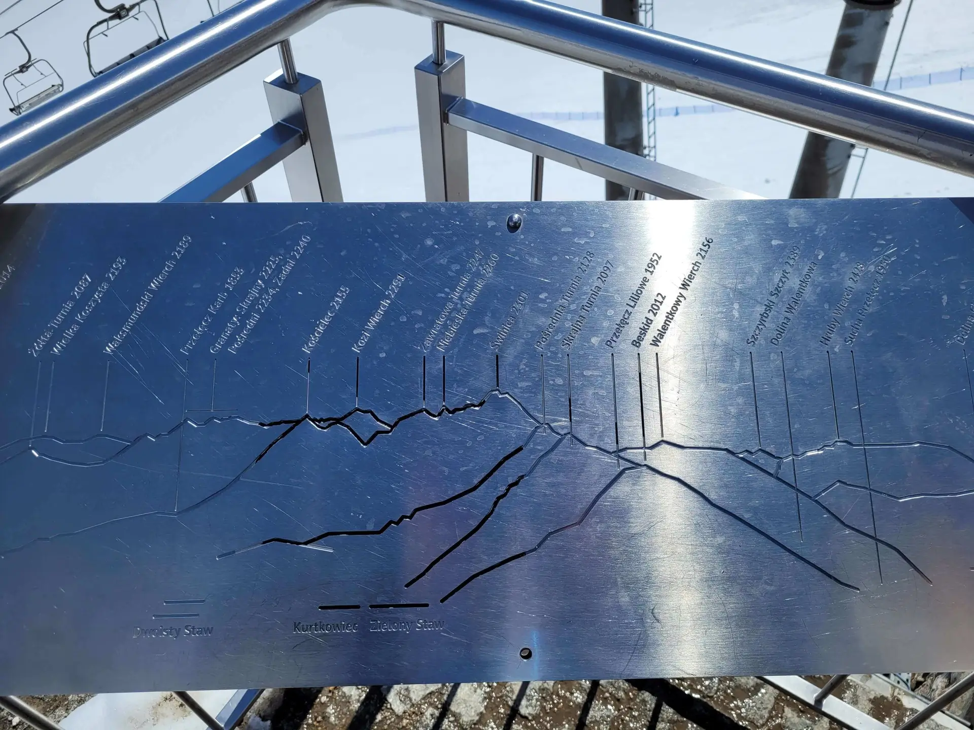
360 degrees: Świnica, Orla Perć, Krywań, Czerwone Wierchy. The summit is crowded from the cable car even when the Hala was quiet. The jacket goes in the rucksack, not in the car under the ski jump.
Warnings
- There are no chains — until someone turns towards Świnica. That is not a Kasprowy variant.
- Winter: Yellow from the Hala can be avalanche-prone. Green under the cable car is often the more sensible walk. The cable car can still stop.
- Weather: It blows on Sucha Pass when Kuźnice is warm.
- PKL cable car: You do not buy a ticket “just in case” if you are walking. At 11:00 at the office without an online ticket you still will not get on.
Descent and logistics
From the summit, three exits make sense:
- Green to Kuźnice — the simplest return to the bus, fewer views, hard switchbacks.
- Yellow to the Hala — prettier, then Boczań or Jaworzynka. Jaworzynka can be avalanche-prone in winter.
- Cable car down — only with a ticket. Walking up does not guarantee a ride down at peak season.
You cannot drive a private car into Kuźnice. TPN ticket at the booth or online. No dogs.
Segment times (ascent)
From the map:
- Kuźnice – Murowaniec (Boczań): 2 h 15 min
- Murowaniec – Dwoiśniak: 40 min
- Dwoiśniak – Sucha Pass: 55 min
- Sucha Pass – summit: 10 min
4 h 01 min is walking time up. Green descent 2.5–3 h. A holiday day is 7–8 hours.
Other ways up
- Green from Kuźnice — a 12.9 km / 5 h 31 min loop, the simplest logistics.
- Cable car up and walking down stays on the parent page. This page is the climb via the Hala, not the ride.
In winter
Kasprowy in winter is skiing, wind and a cable car that may close. On foot via Gąsienicowa you check avalanches on the yellow trail, not just the temperature in Zakopane. The upper edge by IMGW is sometimes closed.
Who this is not for
Not for someone already sitting down on Boczań hoping “it gets flatter”. From Murowaniec there is still almost two hours up. Not with a pushchair. Not onto Świnica “since we are already here”.
If you only want the Hala and Czarny Staw, stay on the Hala Gąsienicowa page. Kasprowy starts on the yellow trail beyond the hut.
What to see
- Murowaniec hut
- Hala Gąsienicowa
- Sucha Pass
- IMGW observatory
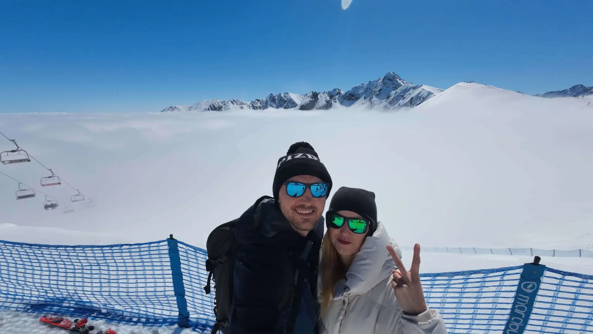
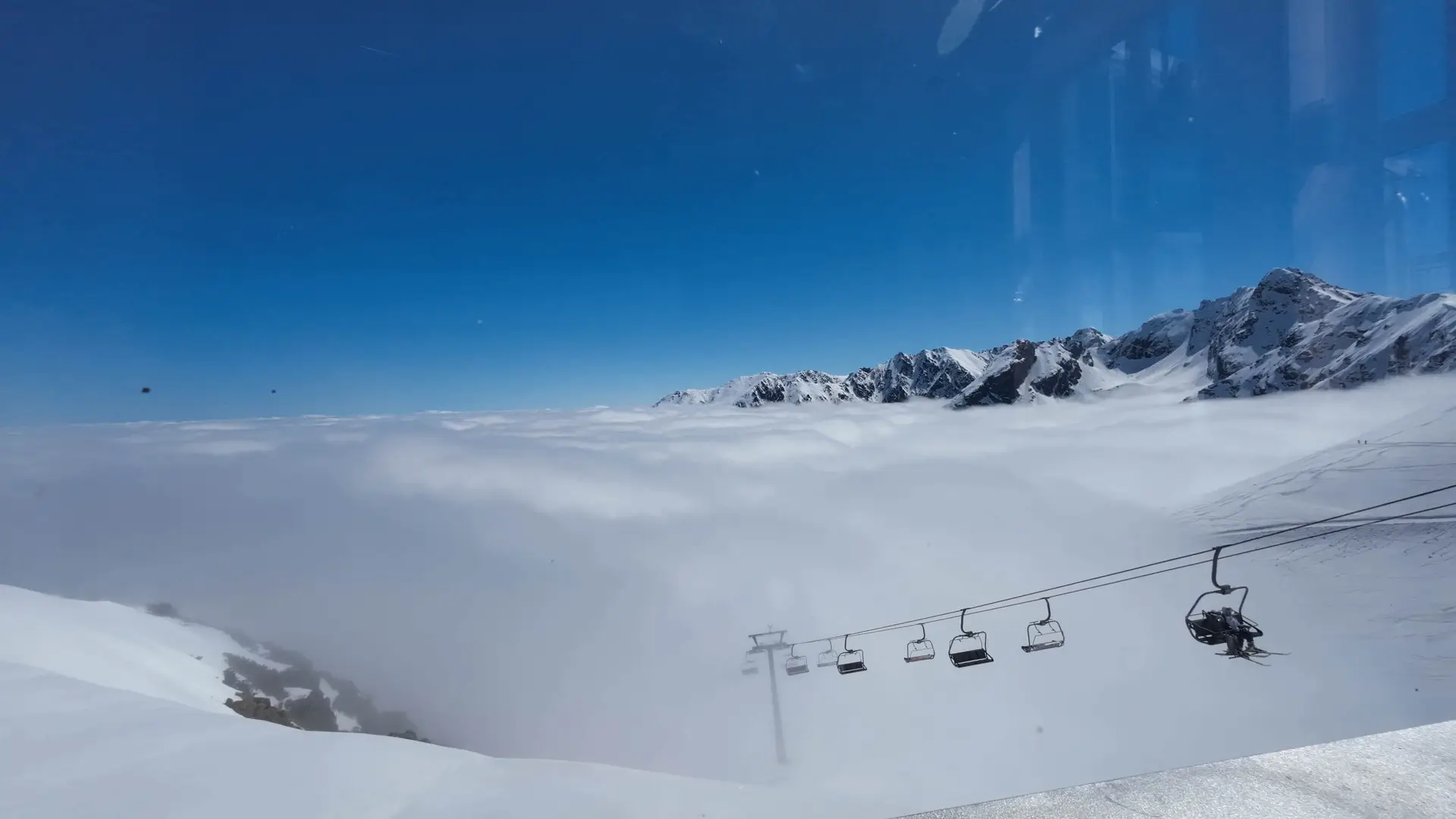
Photo gallery
Questions and answers
How long is Kasprowy via Gąsienicowa?
How is this different from the green trail from Kuźnice?
Is it far from Murowaniec to Kasprowy?
Do I have to go via Boczań?
Where do I park?
Similar trails
 Distance: 15.4 kmDuration: 7 h 56 min
Czerwone Wierchy from Kuźnice
Difficulty: medium
#western tatras#ridge#fitness+1View trail Distance: 12.9 kmDuration: 5 h 31 min
Kasprowy Wierch
Difficulty: medium
#western tatras#panorama#winter+2View trail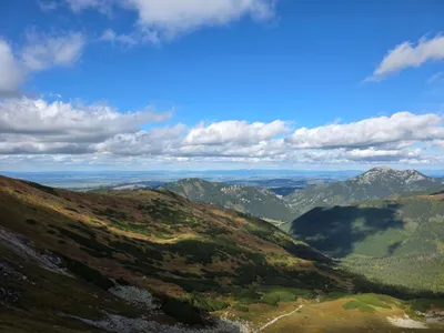 Distance: 22.6 kmDuration: 8 h 50 min
Rakoń
Difficulty: medium
#western tatras#ridge#panorama+1View trail
Read next
 2026-06-28
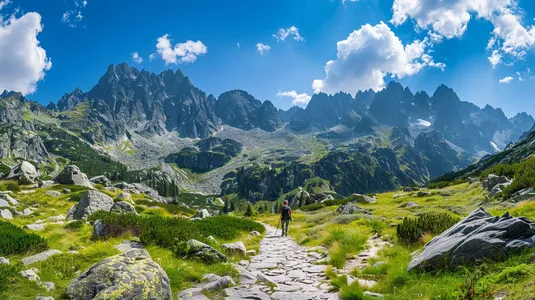
Want the High Tatras but scared of chains? The easiest rocky summits
Do you dream of “real”, sharp, rocky mountains, but the thought of exposure and chains makes your legs shake? Here’s a list of summits you’ll reach like climbing stairs — without climbing gear.
#easy routes#tips#high tatras+2View post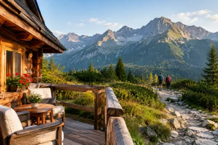 2026-09-19
Accommodation in Zakopane near the trails - where to sleep?
Accommodation in Zakopane near the trails: check where to sleep so you can set off early, skip the jams and match your base to real plans in the Tatras, with less morning chaos.
#zakopane#planning#accommodation+1View post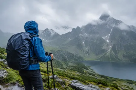 2026-09-18
Hiking in the rain in the Tatras: safety
Hiking in the rain in the Tatras: safety, gear and decisions that help you get back without stupid risk, getting chilled, or wet frustration on the trail.
#tips#safety#weather+1View post
Plan your trip
These are affiliate links. If you book a stay or a ticket through them, we earn a small commission, for coffee :), at no extra cost to you.
Before you head to the mountains
- Check the weather forecast, mountain weather changes dynamically
- Match the trail to your abilities, don't overestimate your strength
- Take appropriate equipment: comfortable hiking boots, rain jacket, warm clothing, map, charged phone, first aid kit, power bank, food and water
- Inform someone about your plans, provide the route and expected return time
- Save the emergency number GOPR/TOPR, 601 100 300 or 985
- Buy a ticket to the Tatra National Park
Recent blog posts
 2026-09-17
Czerwone Wierchy - difficulty and the real risk
Czerwone Wierchy difficulty: check who this trail is for, how much fitness it takes, where the exposure is, and when it is wise to turn back before a summer storm.
#tips#safety#weather+1View post 2026-09-16
Trails with kids in the Tatras - 7 routes without the traps
Trails with kids in the Tatras: routes that do not overestimate their strength. Check times, difficulty, weather, pushchairs, crowds and the rules of a safe turnaround.
#for family#ranking#easy routes+1View post 2026-09-15
7 beginner-friendly trails in the Tatras, without the stress
Beginner trails in the Tatras: proven valleys, lakes and viewpoints. Pick a destination, a start time and the right gear without the risky mistakes along the way.
#ranking#trails#viewsView post 2026-09-14
Tatra weather - how to read the forecast before you go
Tatra weather can turn a good plan into a wet retreat. Learn how to read forecasts, spot a storm coming, and match your route to the conditions in the Tatras.
#safety#weather#planningView post 2026-09-13
8 of the best Tatra trails for a good day
Eight Tatra trails for one specific day: difficulties and walking times. The full trail catalogue is separate — this is a shortlist, not a map of the whole park.
#trails#tatras#views+1View post 2026-09-10
The Tatras at full throttle and a cycling reset. Our 5-day marathon (and the drive back to Szczecin)
How do you squeeze the most out of a holiday when you have to drive across the whole of Poland? Here is our plan: 4 days of hard hiking in the Tatras and 1 day of cycling chill by Lake Czorsztyn to loosen up the knees.
#trip report#planning#bikes+2View post
Did you find the information here useful? I spent quite a bit of time compiling it. If it helped you plan your trip, buy me a virtual coffee! ☕
Buy me a