Difficulty: ModerateHigh Tatras
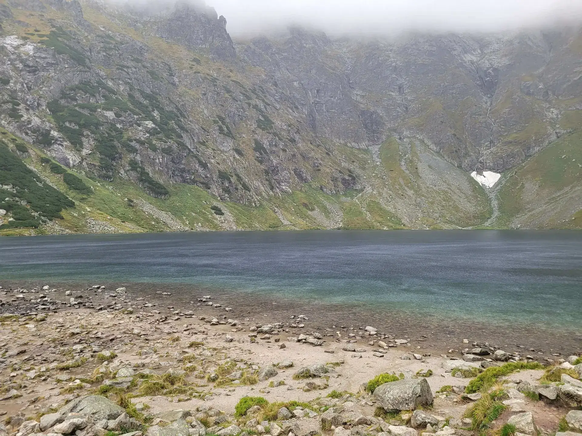
Czarny Staw pod Rysami
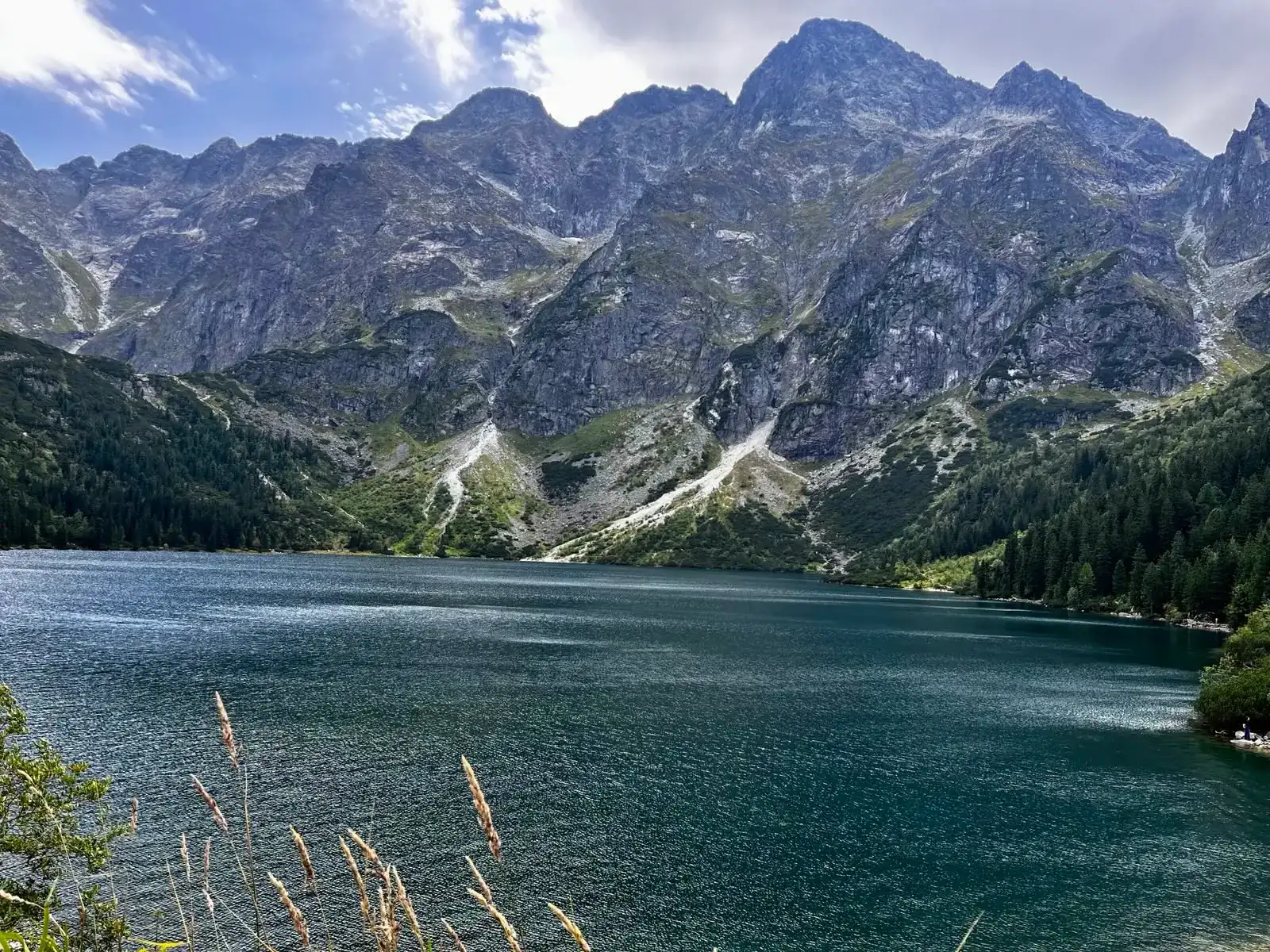
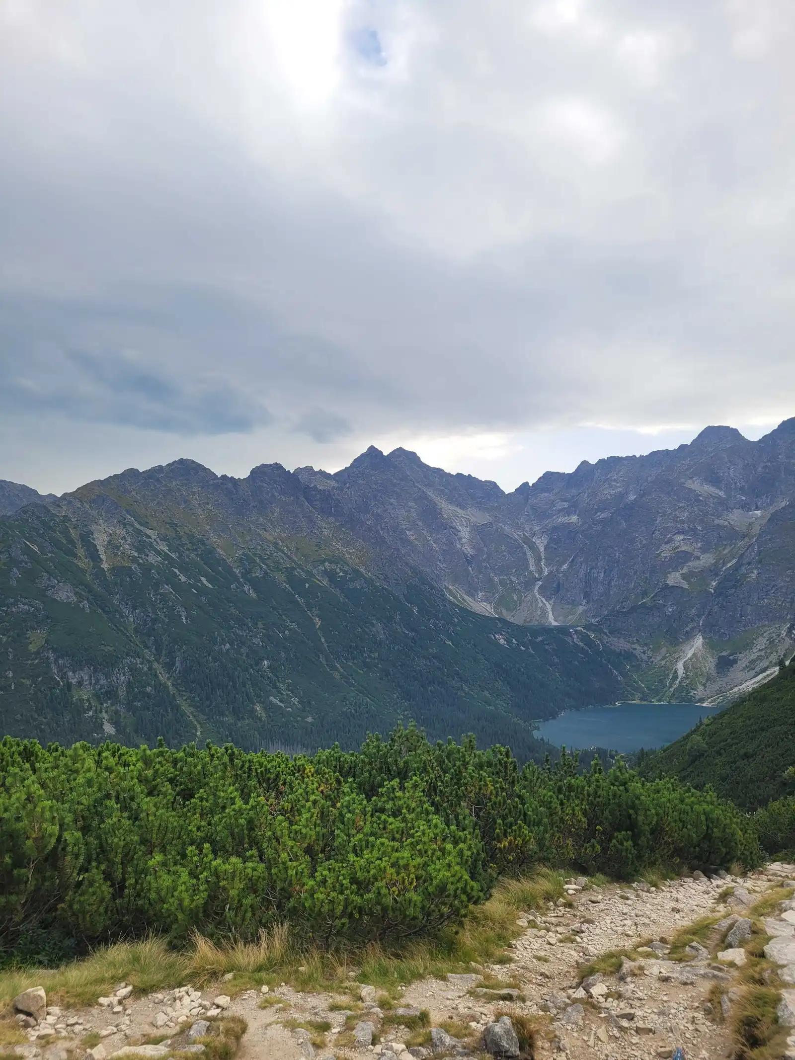
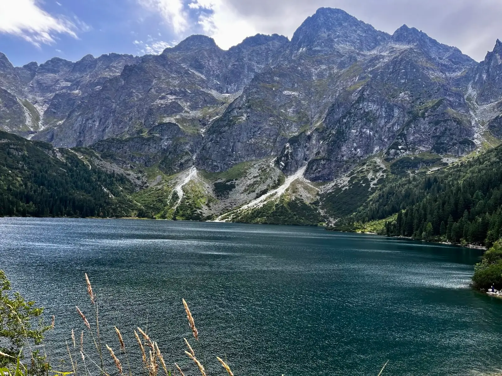
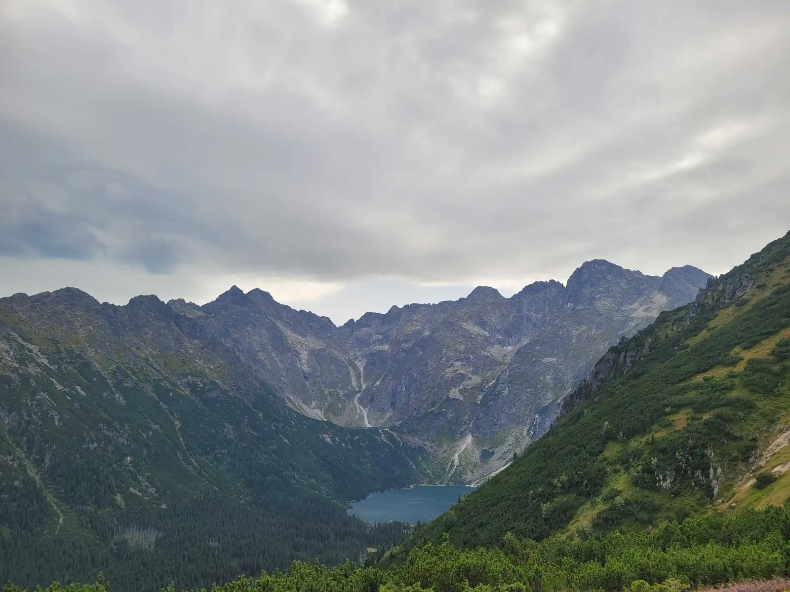
Start: Palenica Białczańska · via Views of Morskie Oko from above and The shadow of Rysy and Kazalnica
- 5:54 h
- Time
- 19.1 km
- Distance
- +819 m
- Ascent
2158 m a.s.l. · trail red / green / blue · start: Palenica Białczańska
Snow and ice reported in upper Tatras. Crampons, ice axe, helmet and winter mountaineering experience required.
Warunki do uprawiania turystyki w wyższych partiach Tatr są bardzo trudne. Na szlakach zalega śnieg i występują liczne oblodzenia. Jest bardzo ślisko. Wybierając się tam, należy posiadać doświadczenie w zimowej turystyce górskiej oraz odpowiedni sprzęt – lawinowe ABC, raki, czekan i kask, wraz z umiejętnością posługiwania się nim. Poślizgnięcie się na lodzie lub zmrożonym śniegu, może skończyć się długim, niekontrolowanym upadkiem, prowadzącym do ciężkich obrażeń lub śmierci.
PolecanyFrom Palenica via Five Lakes
Czas i dystans tylko do celu. Zejście licz osobno.
Tempo
4 h 45 minSzacunek od czasu z opisu, bez kolejek i postojów.
Polecany jest na tej stronie. Inny start ma osobną kartę — własny opis i mapę.
| Wariant | Start | Czas przejścia | Łańcuchy | Kolor szlaku |
|---|---|---|---|---|
From Palenica via Five LakesPolecany Roztoka, the hut, blue to the pass. The map shows this climb. Count the descent separately. No chains. | Palenica Białczańska | 4 h 45 min | Nie |
|
From Hala Gąsienicowa The harder side. Separate page, a traverse into Five Lakes. Zobacz ten szlak → | Kuźnice | 8 h 34 min | TakNew Zawrat. Gully, rungs, falling stones. |
|
Polecany
From Palenica via Five Lakes
Roztoka, the hut, blue to the pass. The map shows this climb. Count the descent separately. No chains.
From Palenica via Five Lakes
Wykres podejść wygenerowany ze śladu GPX. Przesuń kursor lub palec po wykresie, aby sprawdzić profil podejścia i punkty kulminacyjne.
Wgraj trasę do zegarka sportowego (Garmin, Coros, Suunto, Apple Watch) lub aplikacji nawigacyjnej (Mapy.cz, Komoot, Locus Map, Strava) i nawiguj po szlaku w trybie offline bez zasięgu.
Zawrat (2,158 m a.s.l.) is a legendary pass associated with chains, precipices, and the start of Orla Perć. But there is a catch: Zawrat has two sides.
💡 In a nutshell – Zawrat from Five Lakes:
- No chains: The approach via the blue trail from the Valley of Five Lakes has no artificial aids and no major exposure.
- Demanding fitness: It’s a long route (over 11 km one way from Palenica). The climb from the hut in Five Lakes alone takes approx. 2 hours.
- Descent: The safest way is to return the same way. Descending towards Hala Gąsienicowa means a steep gully with chains (often snow-covered until July).
- Orla Perć: Zawrat is the start of the hardest trail in Poland. Do not treat entering Orla as a spontaneous extension of your trip!
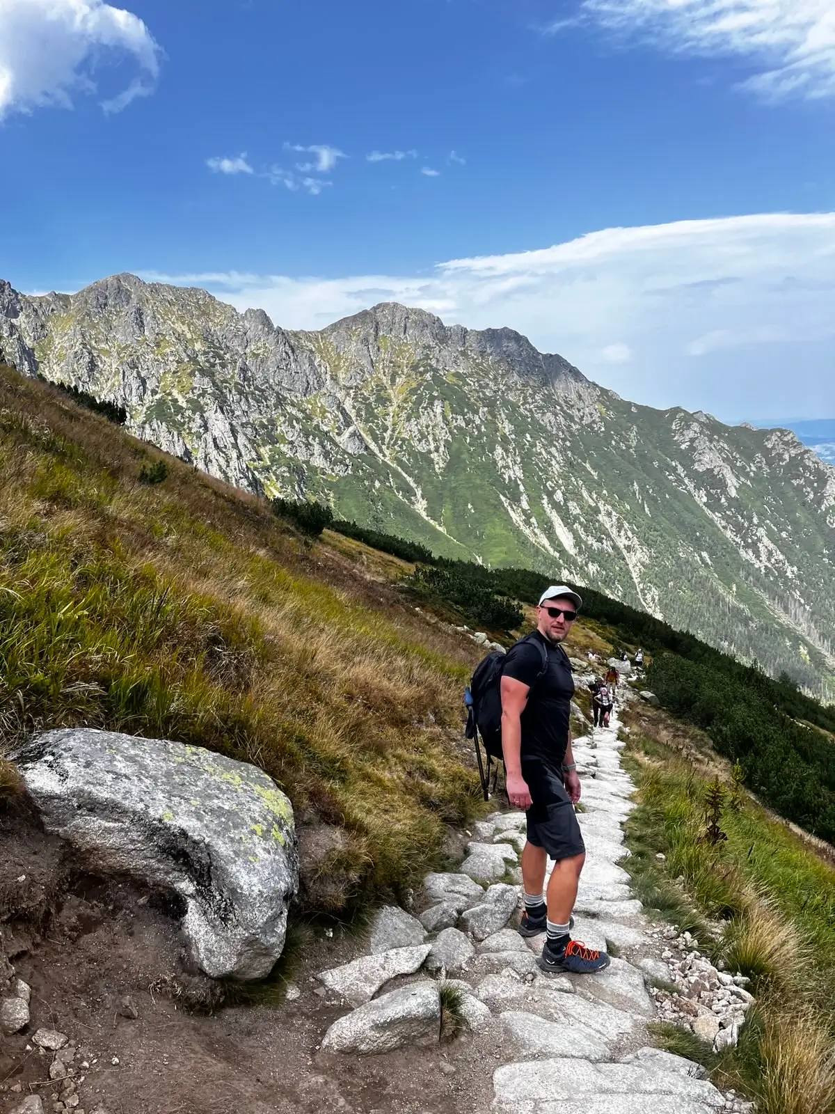
If you climb to the pass from the Valley of Five Lakes (blue trail), you will not encounter a single chain on your way! This is the perfect variant for people who want to feel the atmosphere of the high mountains but are paralyzed by the fear of rock climbing.
The figures at the top of the page show the parameters of the ascent itself from Palenica Białczańska to the pass (11.3 km one way).
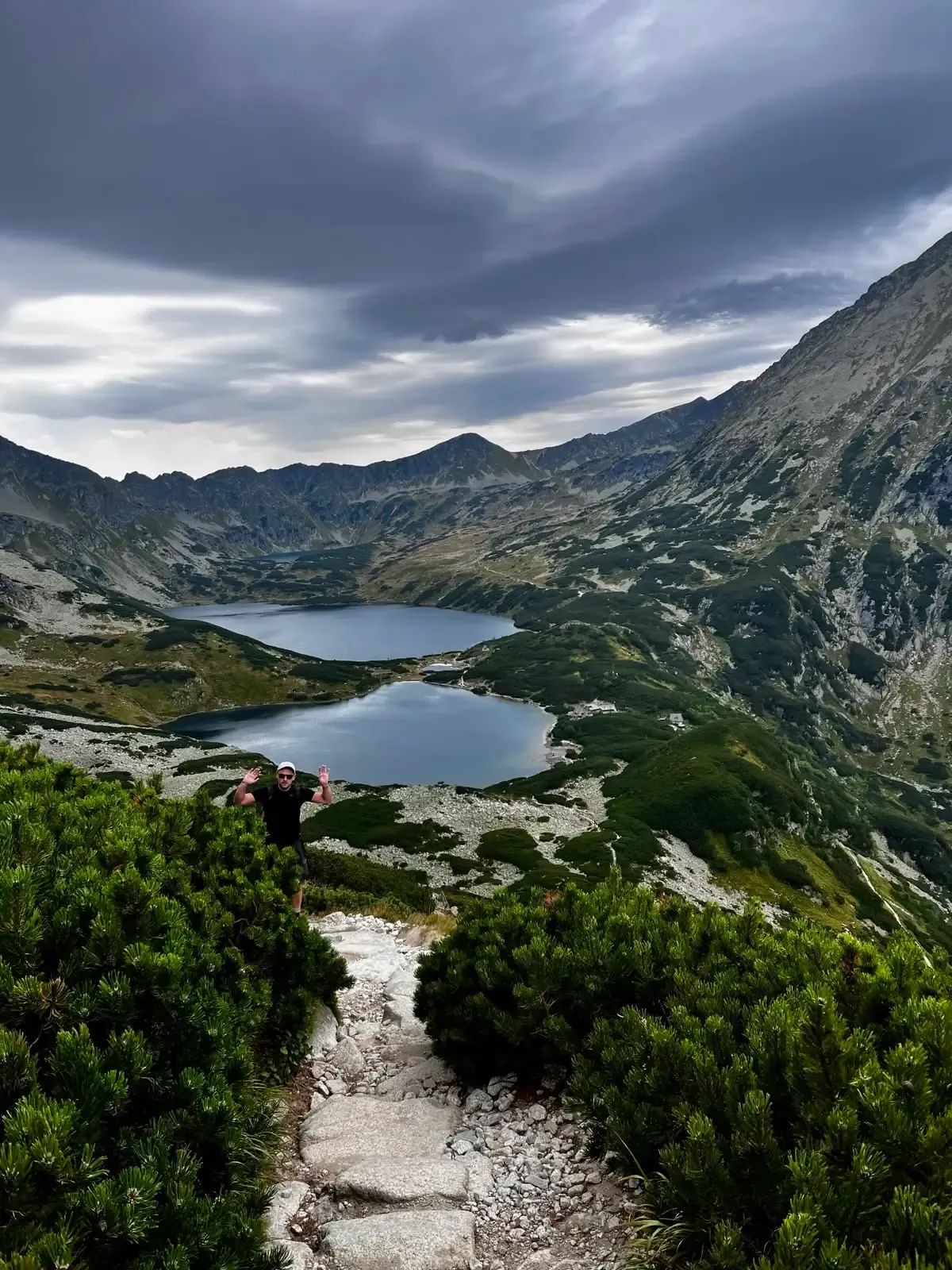
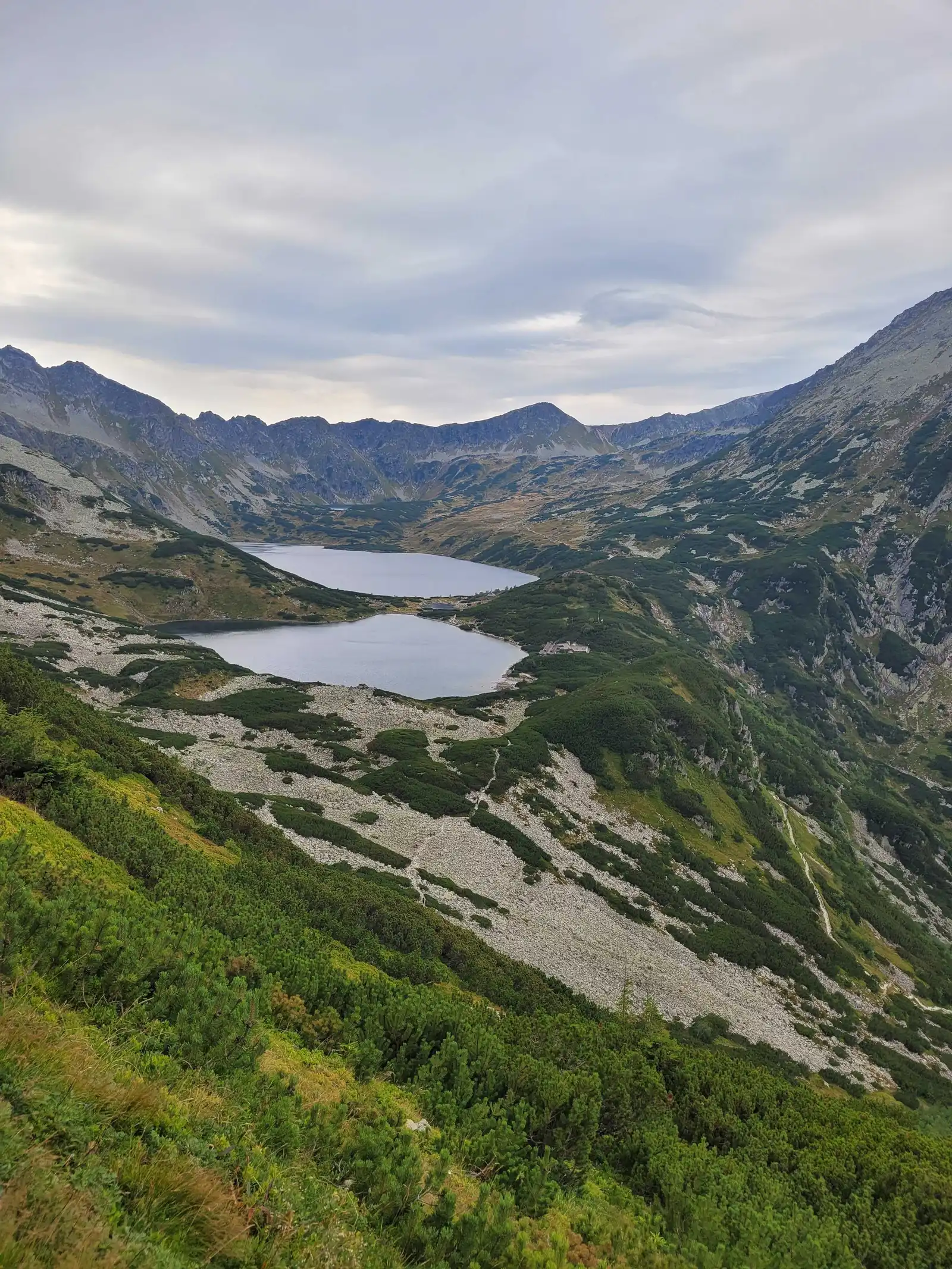
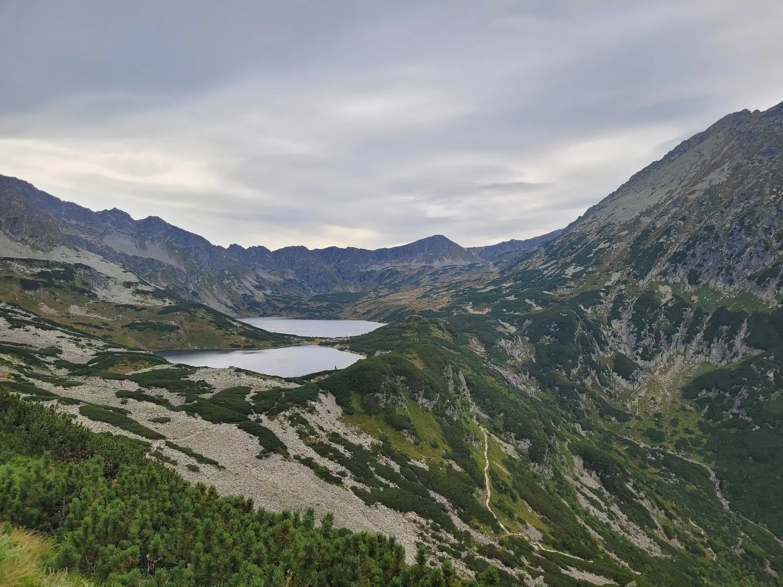
We start at Palenica Białczańska. We walk along the tarmac to Wodogrzmoty Mickiewicza, where we turn onto the green trail into the Roztoka Valley. After about 2.5 hours of walking, we reach the Valley of Five Lakes. This is a great place to rest before the main ascent.
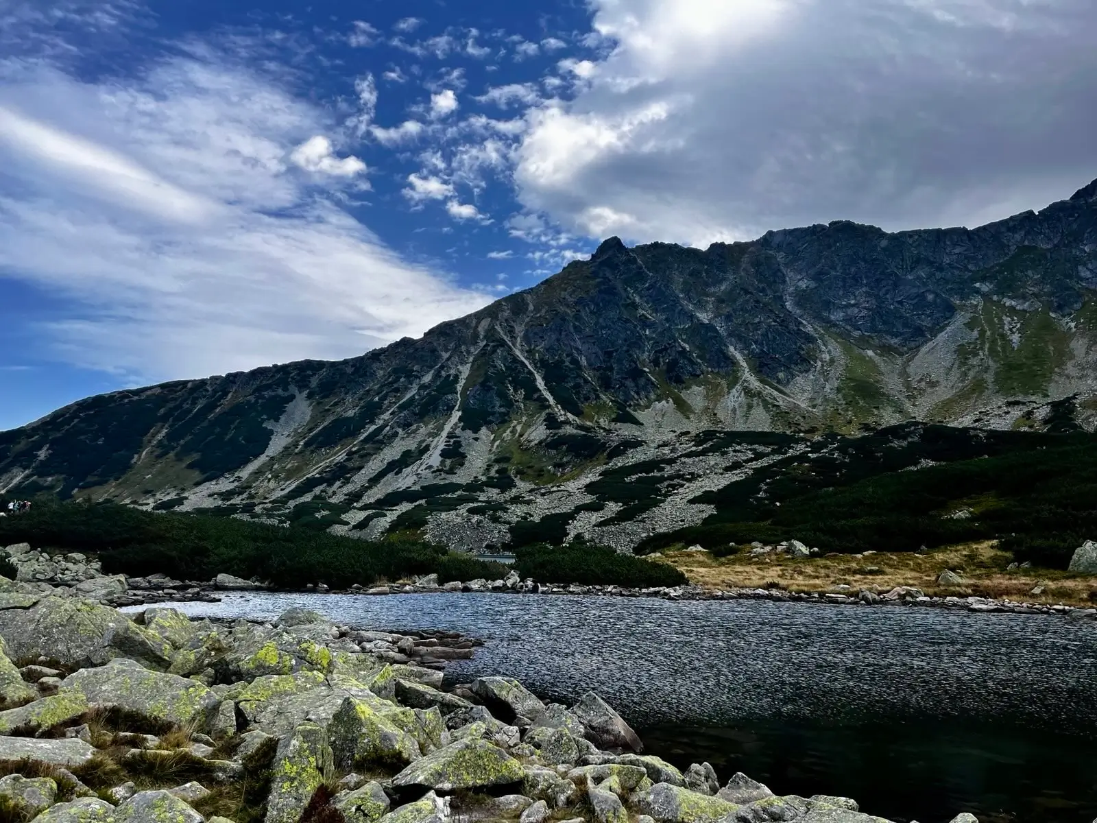
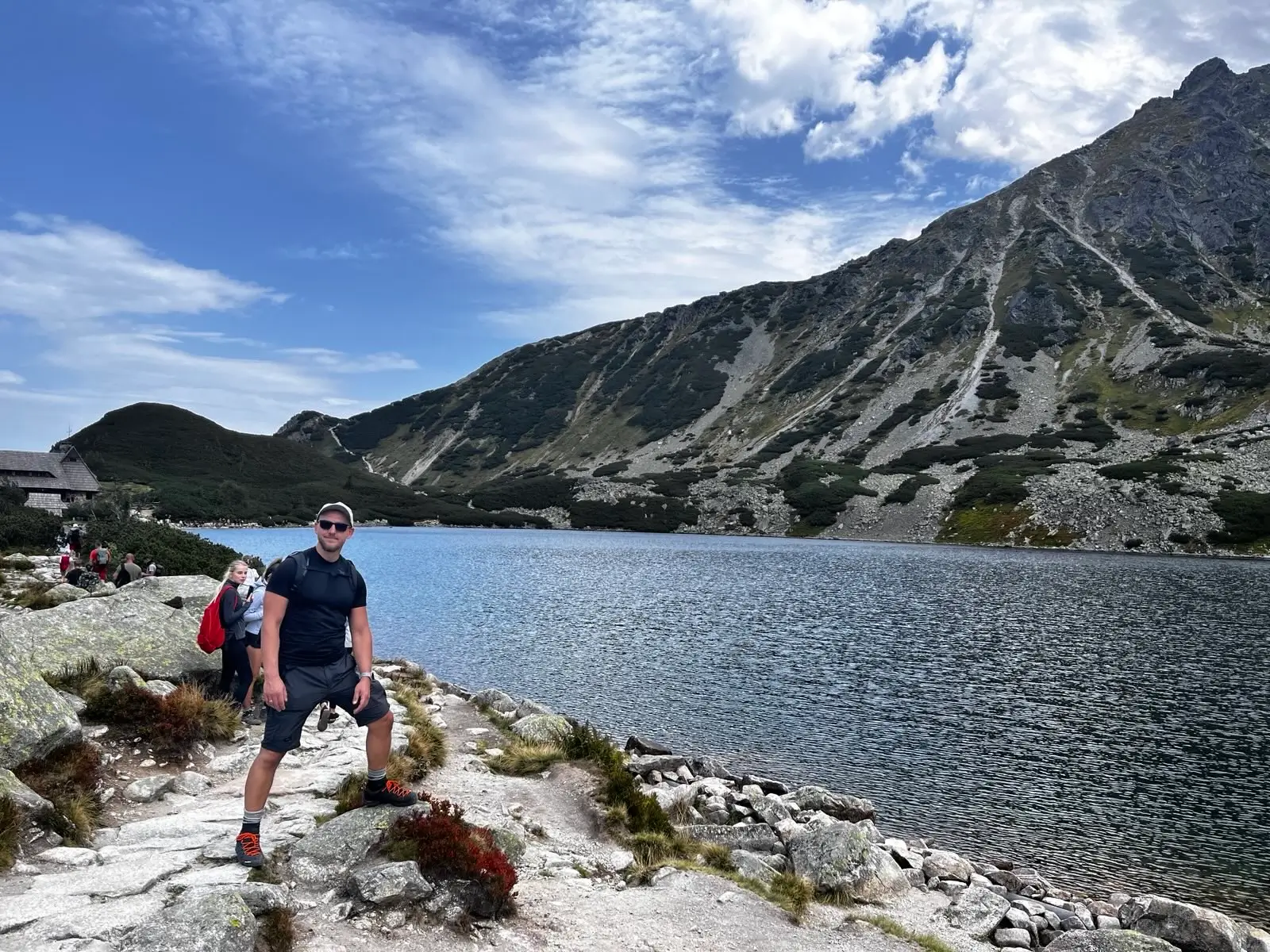
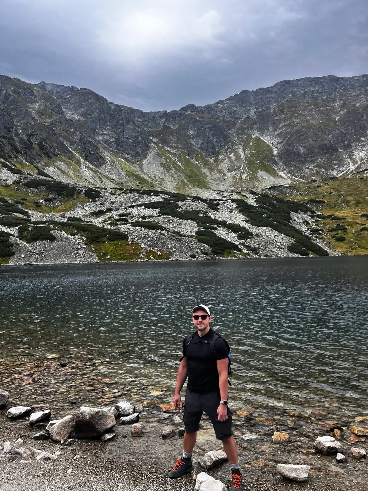
From the hut, we follow the blue trail, passing successive lakes. The path rises gently along the valley floor. We pass the turn-offs for Szpiglas Pass and Kozi Wierch, consistently sticking to the blue markers.
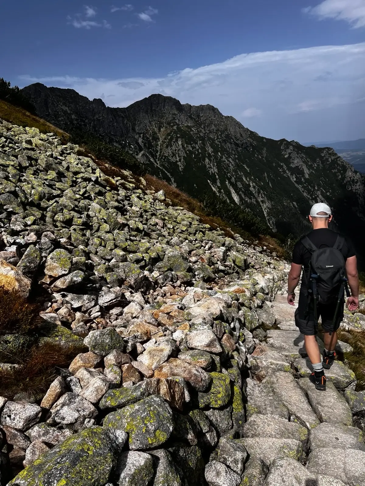
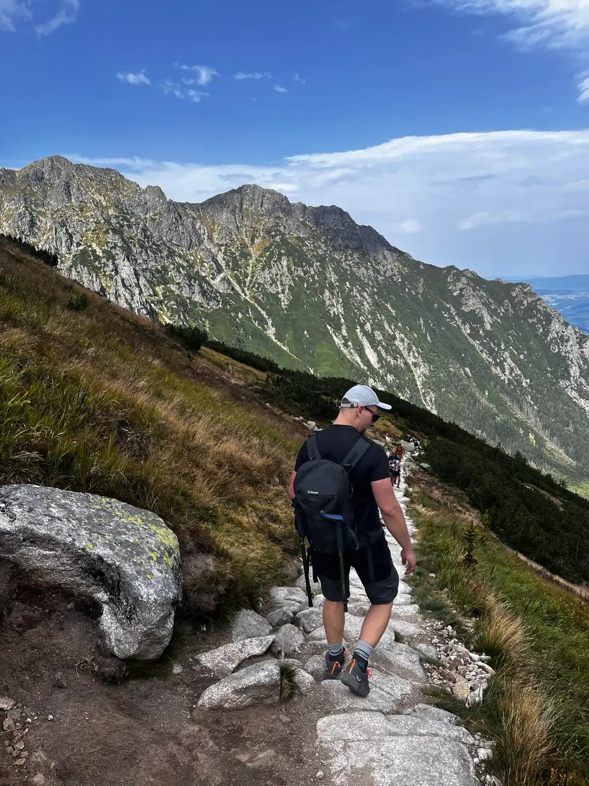
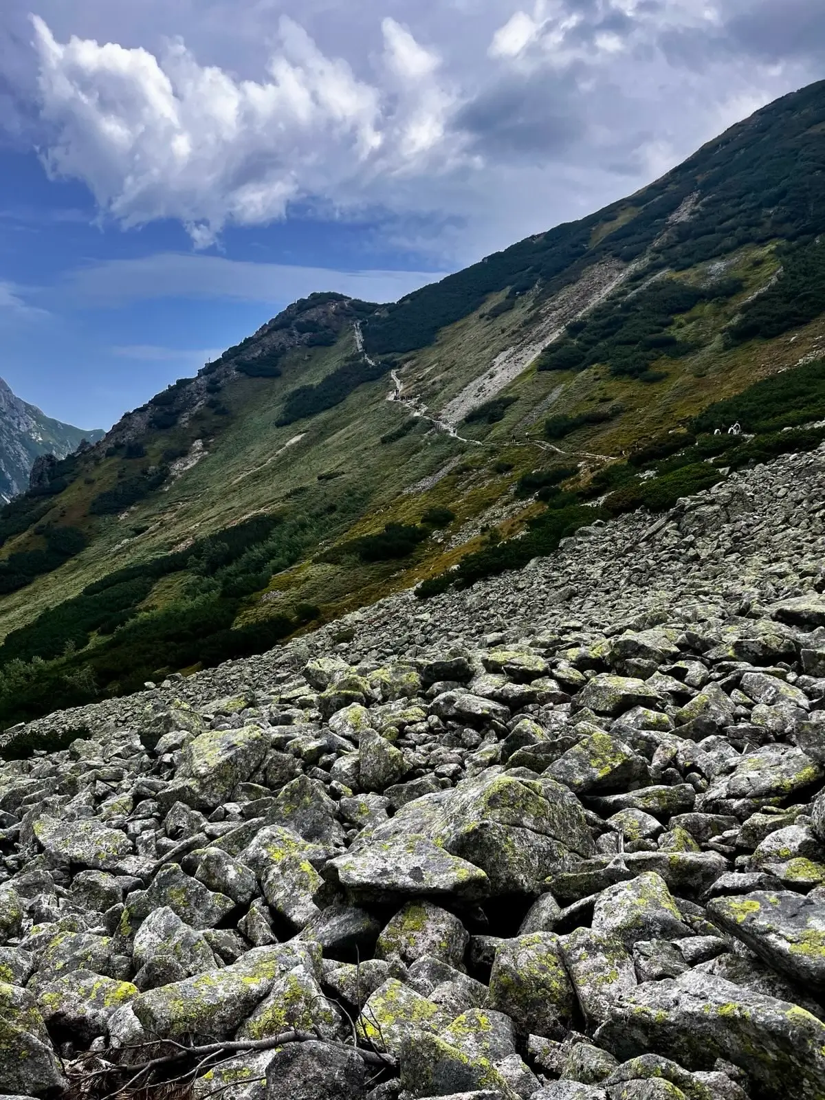
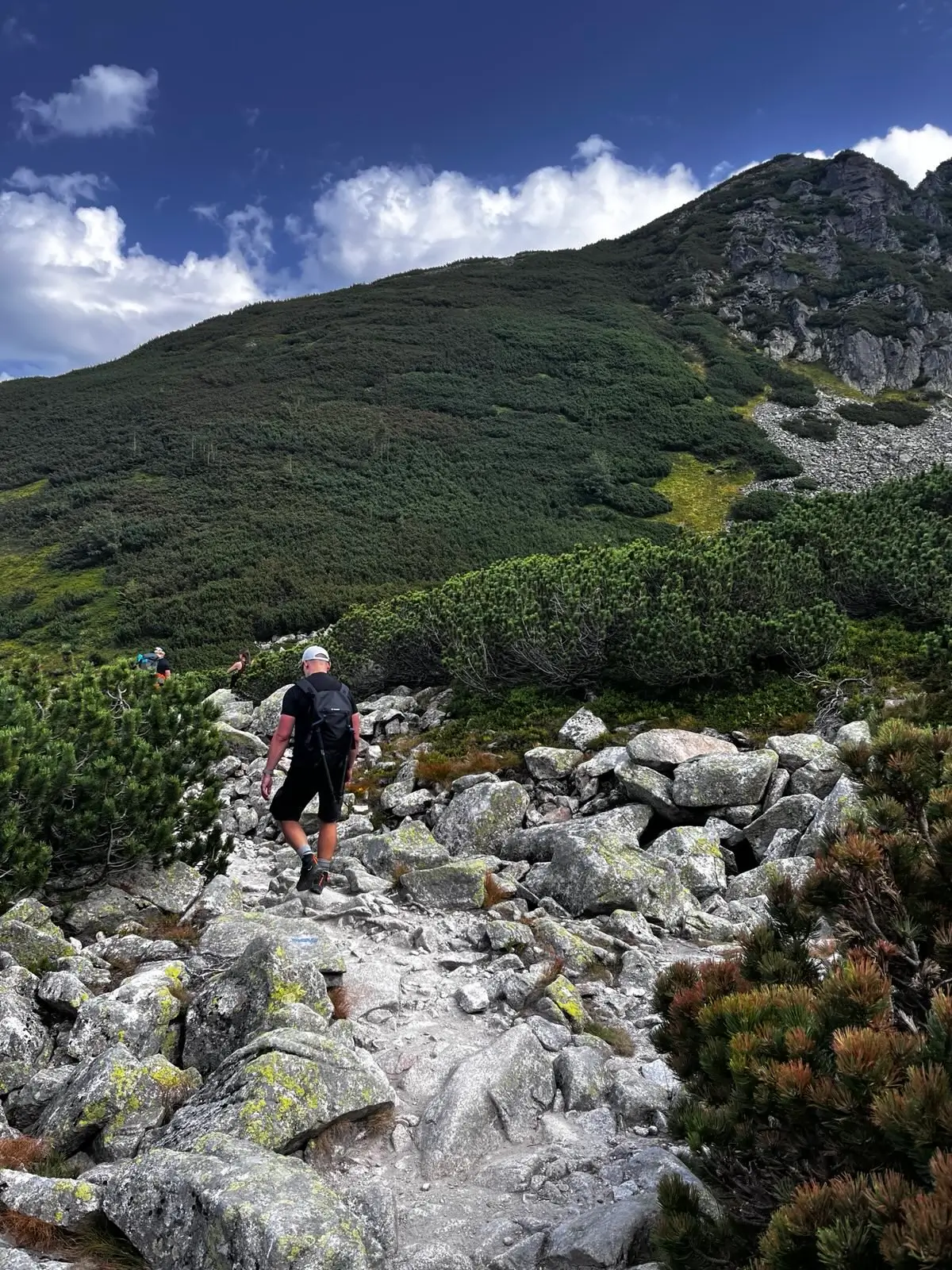
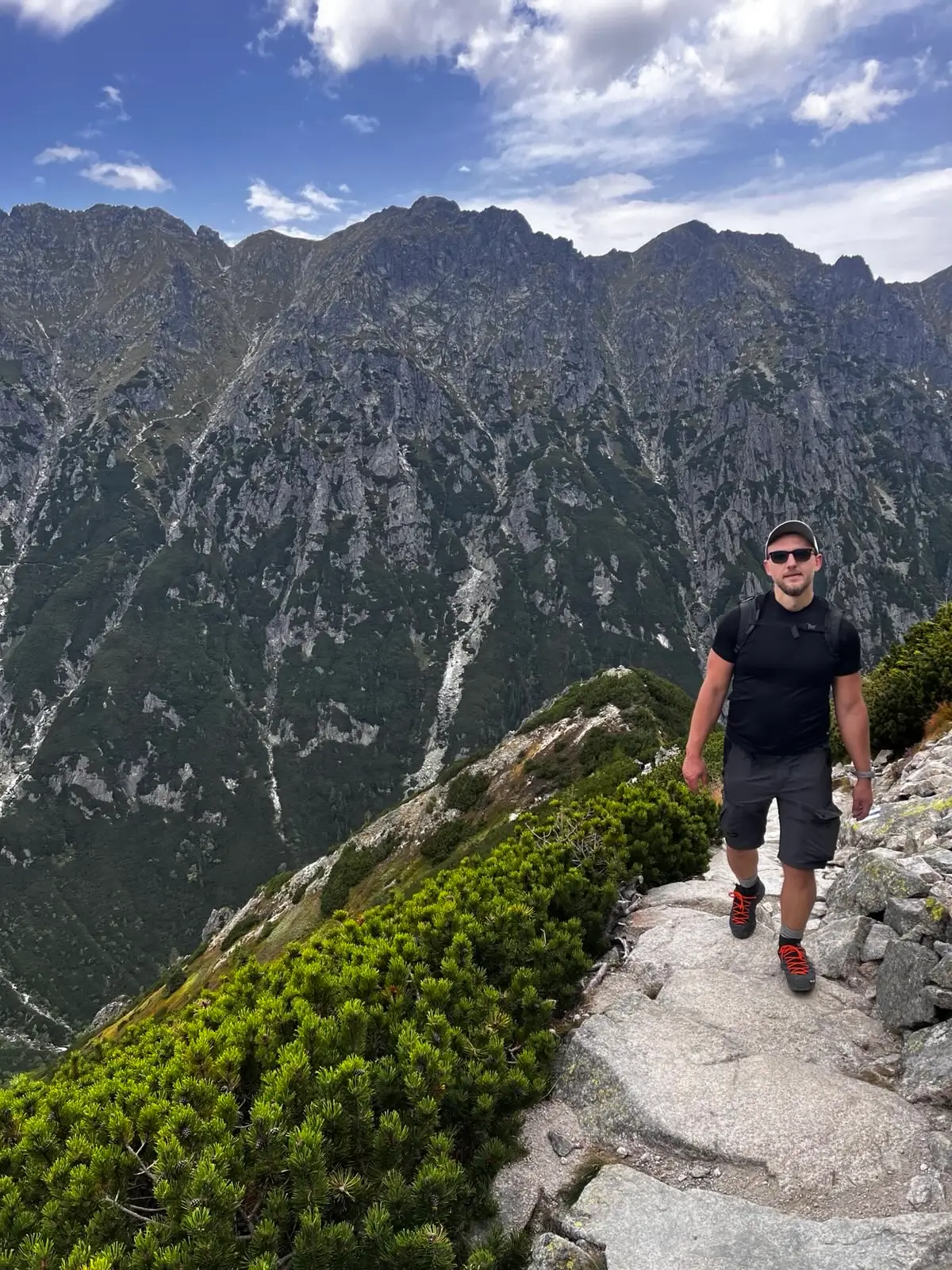
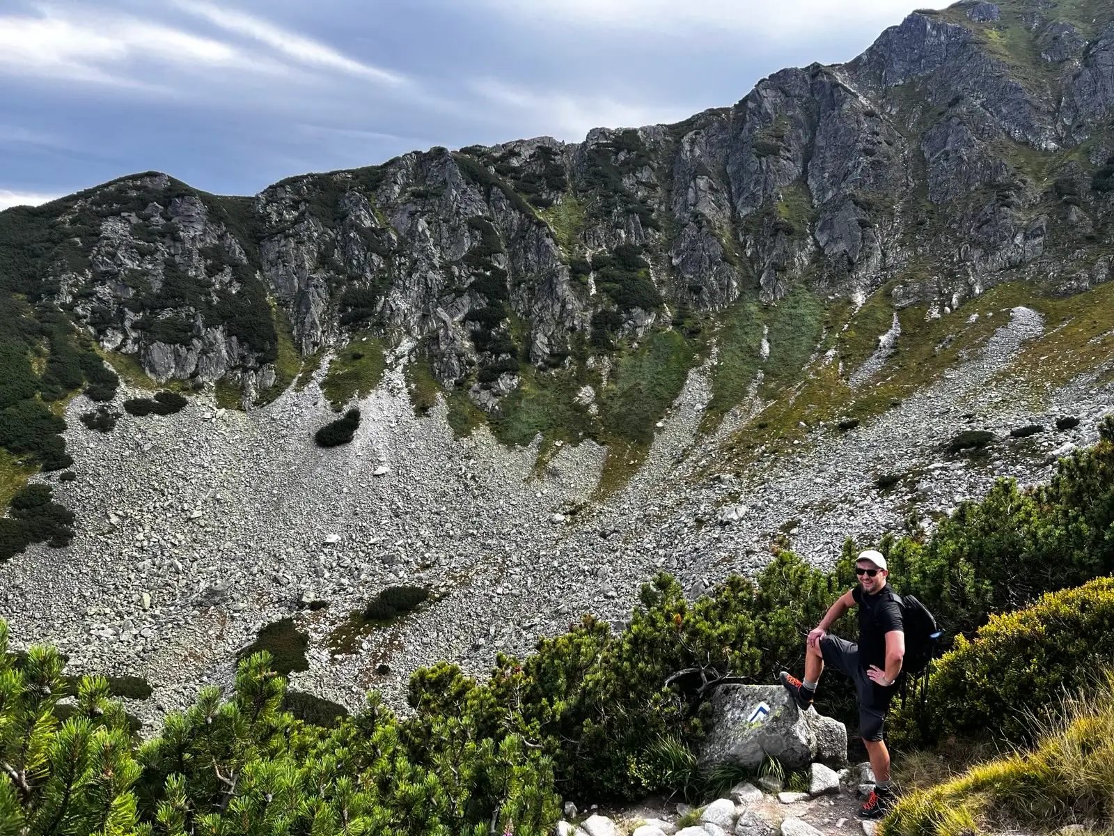
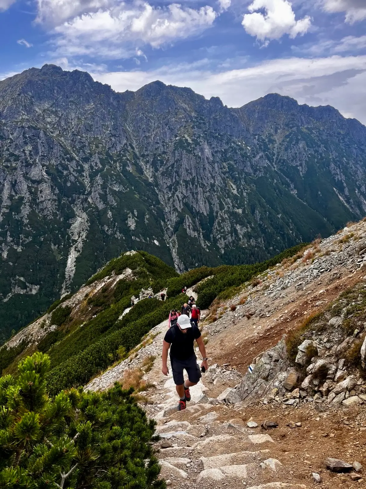
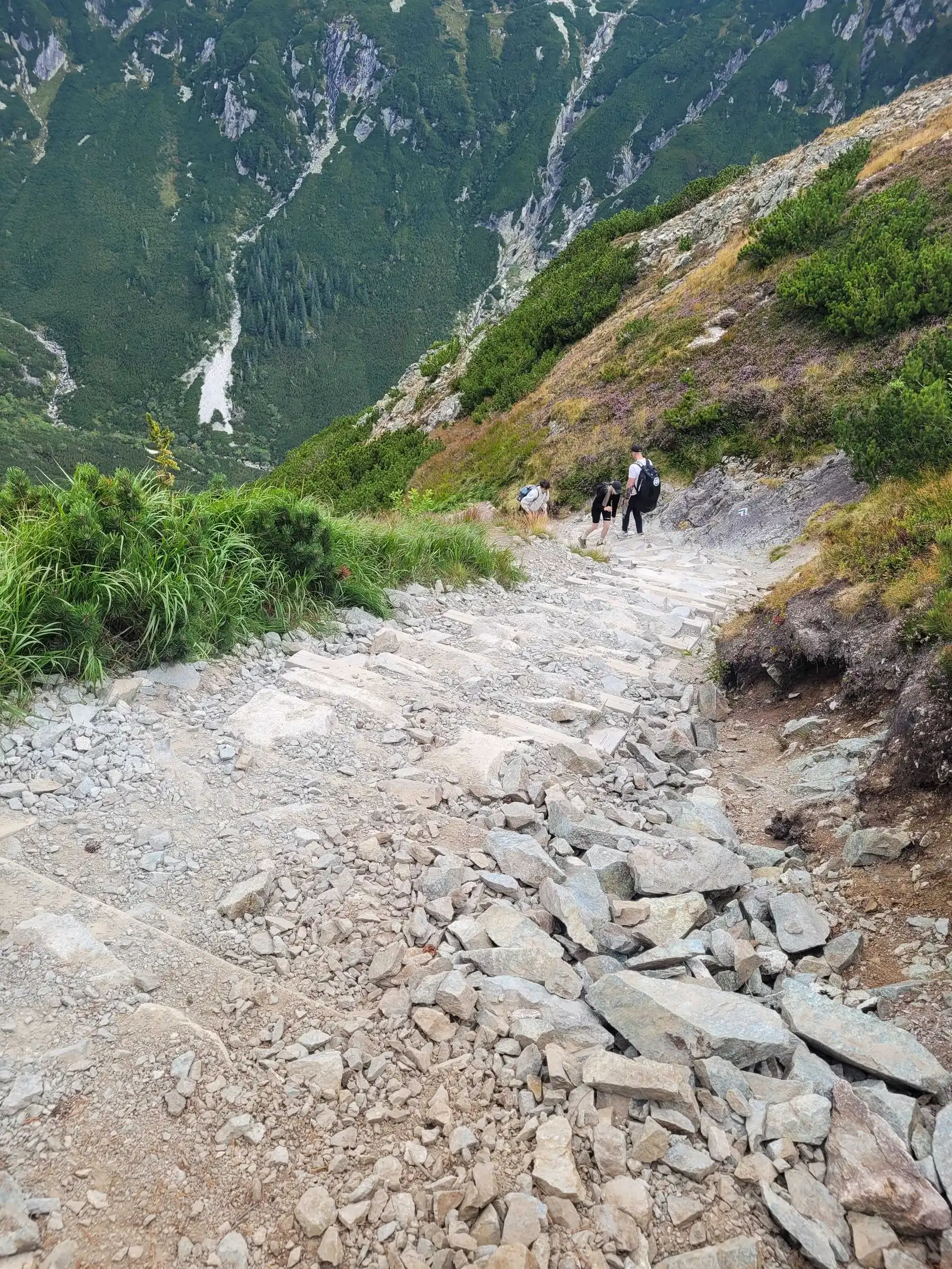
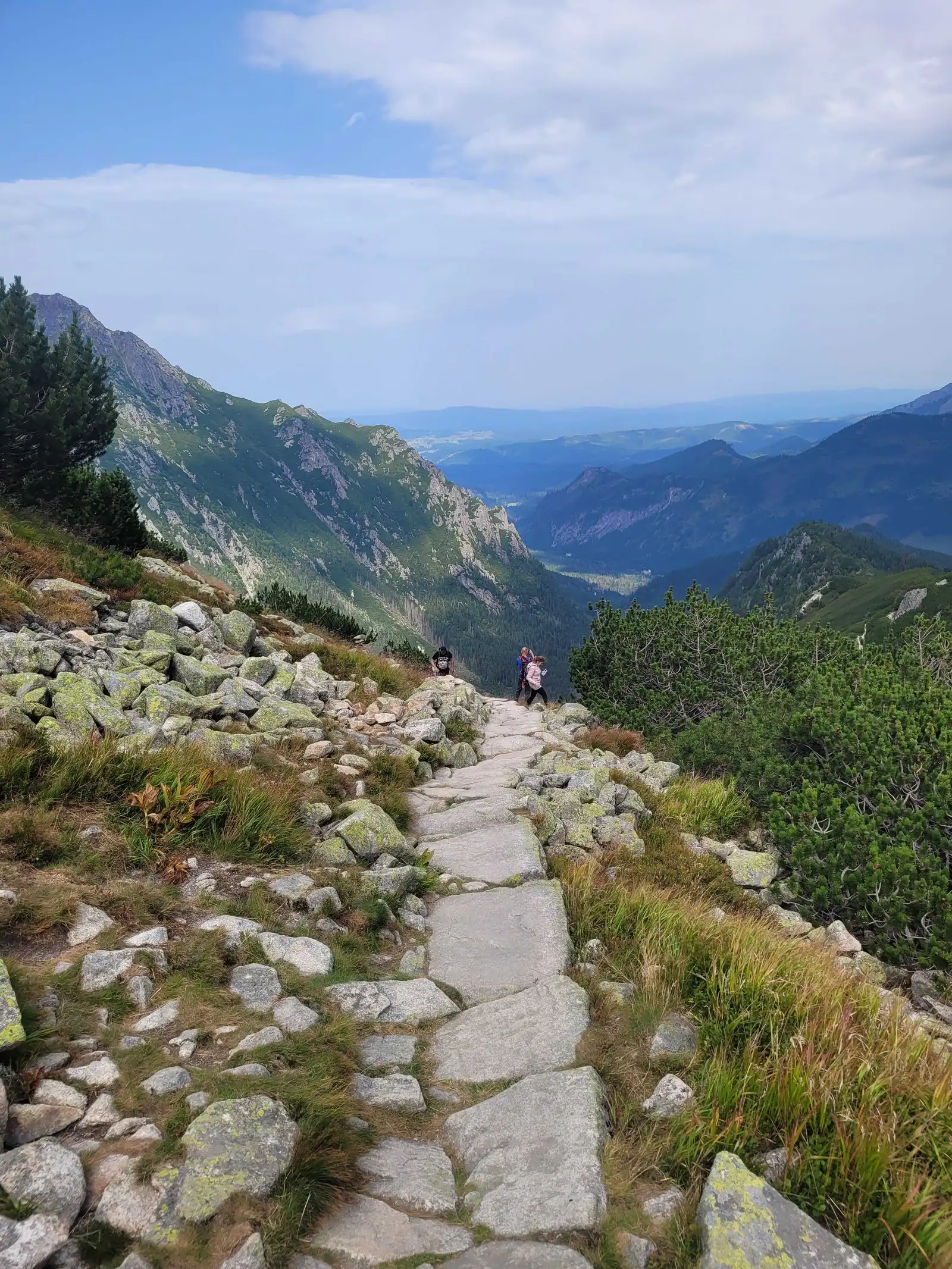
At the end of the valley, the trail starts to climb sharply up over stone scree, right under the massive walls of Świnica.
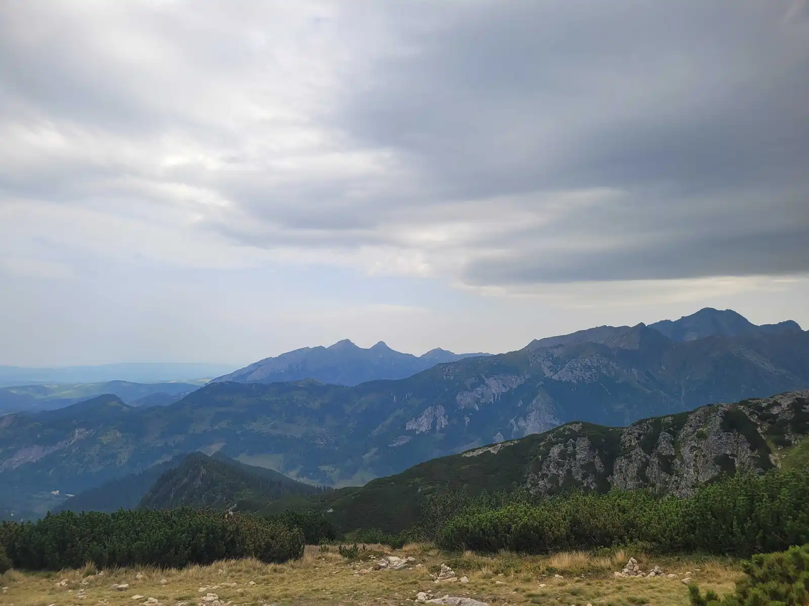
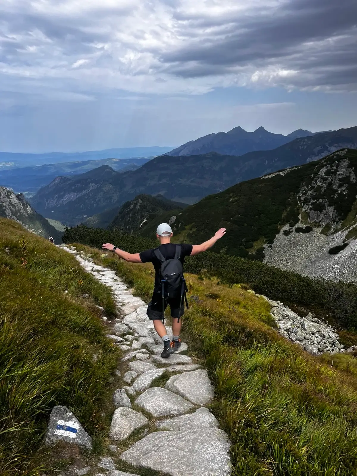
Zawrat is a narrow crack in the rock (you will find the famous figure of the Virgin Mary here). The view from the pass is an incredible contrast:
From Zawrat you have three return options:
Do not go to Zawrat if reaching the hut in Five Lakes drained all your strength – you still have almost 2 hours of sharp climbing from the hut. Remember too that this is not a “walk in the valley” – in the event of a storm on the pass, there is nowhere to hide, and lightning strikes here extremely often. If you only want to see the lakes, stick to the variant to the Valley of Five Lakes itself.
Trailhead logistics – reach the start smoothly without parking hassle.
TPN Car Park Palenica Białczańska / Łysa Polana
Parking fee: 45–65 PLN / day (seasonal dynamic pricing via tpn.pl/bilety only)
No on-site ticket sales! QR e-tickets must be booked online in advance via tpn.pl. During peak season, slots sell out days ahead. Cars without booking are turned away at the roundabout.
Buses from Zakopane Station (towards Morskie Oko)
Route & bus stop: Main Station (Platform 1) ➔ Cyrhla ➔ Wierch Poroniec ➔ Palenica Białczańska
Fare: ~15–20 PLN one-way
Departures every 10–15 min from early morning. CAUTION on return: last buses from Palenica leave around 19:30–20:30 depending on season. Miss them, and you will need an expensive taxi.
Local buses and transit help bypass morning traffic and parking hassles.
Complete guide to Tatra car parks, buses, and TPN reservations.
Tool
Check off items as you pack, switch between summer/winter and clear the list before your next trip. Progress is saved automatically.





Newsletter
A few times a year: trail conditions, closures, the best time to go and new routes. No weekly spam.
Planning your next hike? From the same starting point and area, we recommend:
Krzyżne Pass from Palenica via the Five Lakes Valley, down the Pańszczyca Valley to Kuźnice: 20.9 km, 9 h 25 min, no chains. A famous High Tatras panorama.
Start: Palenica Białczańska · via Views of Morskie Oko from above and The shadow of Rysy and Kazalnica
Start: Kuźnice · via Murowaniec hut and Hala Gąsienicowa
Start: Palenica Białczańska · via Views of Morskie Oko and Five Lakes at once and Szpiglas Pass
How to plan a trip up Rysy: the route, the weather, the kit, the fitness and the decisions that let you enjoy the summit without needless risk in the Polish Tatras.
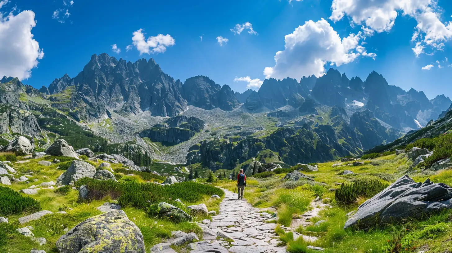
Do you dream of “real”, sharp, rocky mountains, but the thought of exposure and chains makes your legs shake? Here’s a list of summits you’ll reach like climbing stairs — without climbing gear.
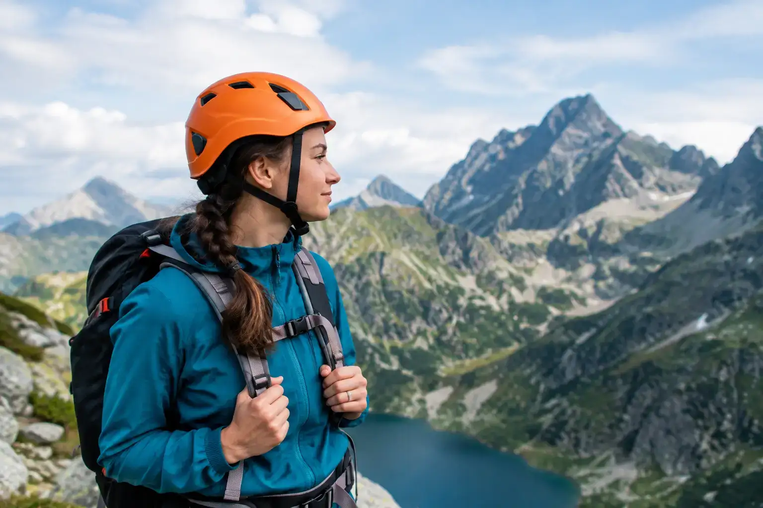
Do you need a helmet in the Tatras? See which trails it protects your head on, when it is a sensible choice, and why it does not replace judging the conditions before you leave.
These are affiliate links. If you book a stay or a ticket through them, we earn a small commission, for coffee :), at no extra cost to you.