planning
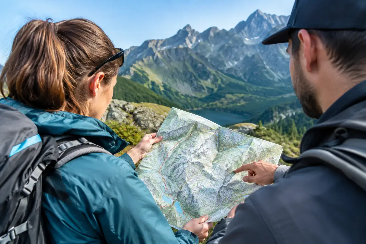
How to read a Tatra tourist map without getting lost
How to read a Tatra tourist map: trail colours, contour lines, walking times, and the traps that help you avoid a bad decision before you leave the valley.
Many people make this mistake: they visit the Tatra Mountains for the first time and immediately set out to tackle Orla Perć or Rysy. The result?
Author: Konrad Leśniak3 min read
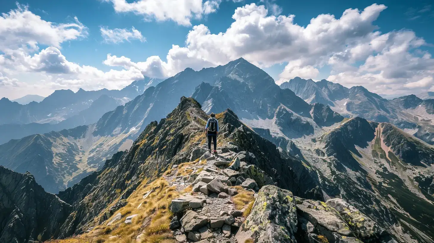
Many people make this mistake: they visit the Tatra Mountains for the first time and immediately set out to tackle Orla Perć or Rysy. The result? Trauma, fear in their eyes, getting stuck on the chains and being airlifted down (the pessimistic version) or muscle soreness for a week and a hatred of the mountains (the optimistic version).
💡 In a nutshell – The Tatra development path:
- Level 1 (Walk): Start with flat valleys (Kościeliska, Strążyska) or easy viewpoints (Rusinowa Polana).
- Level 2 (Out of breath): Test your fitness on shorter peaks without precipices (Sarnia Skała, Nosal, Grześ).
- Level 3 (Altitude): Go above 2000 m a.s.l. on long but technically safe routes (Czerwone Wierchy, Wołowiec).
- Level 4 (Adrenaline): Tackle exposure and chains only when you are used to heights (Giewont, Świnica, Kościelec).
The key is progression. You can’t run a marathon if you can’t run 5 km. It’s the same with the mountains. Here are 4 levels of initiation. See where you fit in.
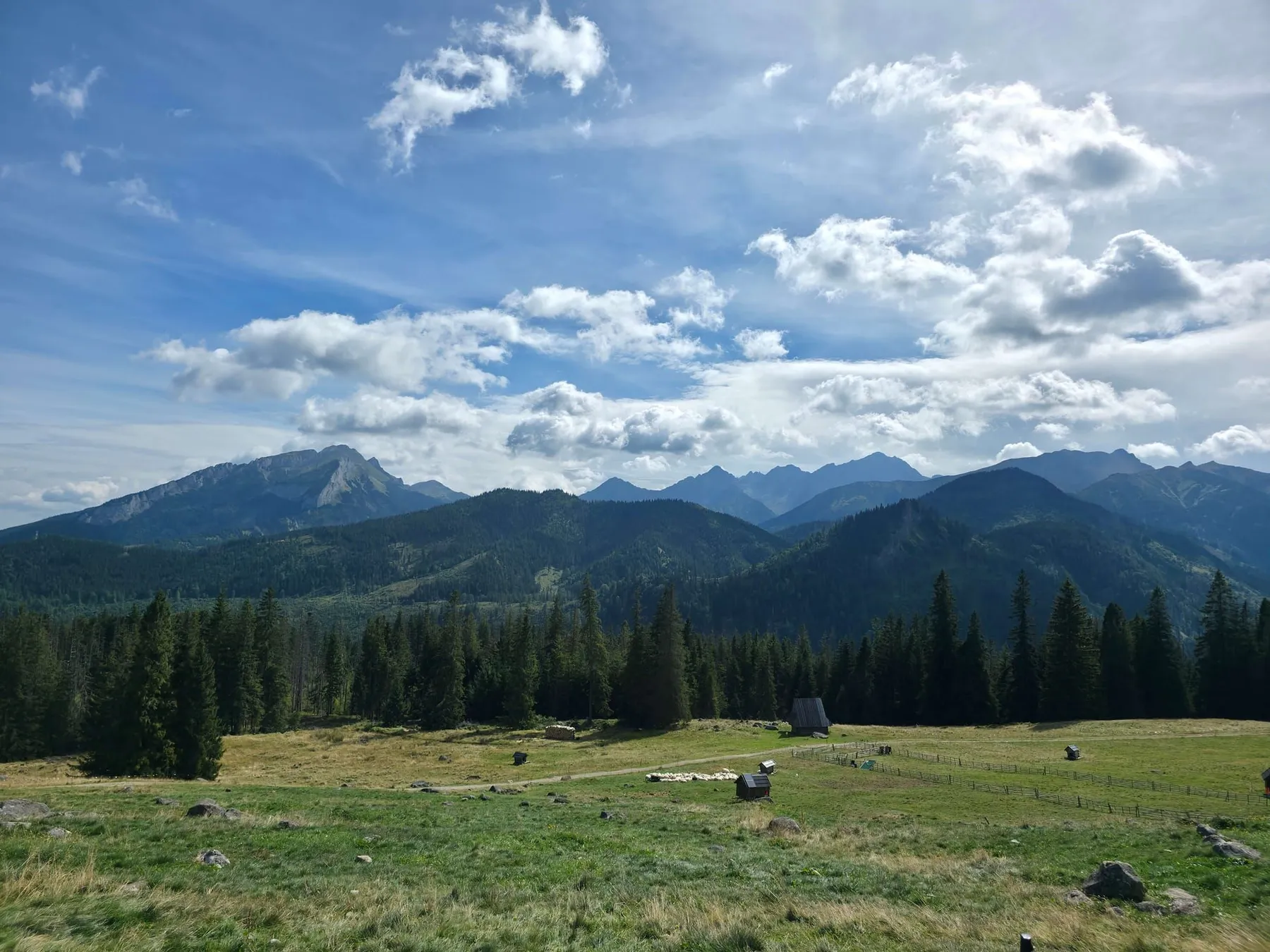
Goal: Break in your boots, feast your eyes, and not overexert yourself.
At this stage, you’re looking for wide, safe trails where the biggest danger is… the queue for oscypek.
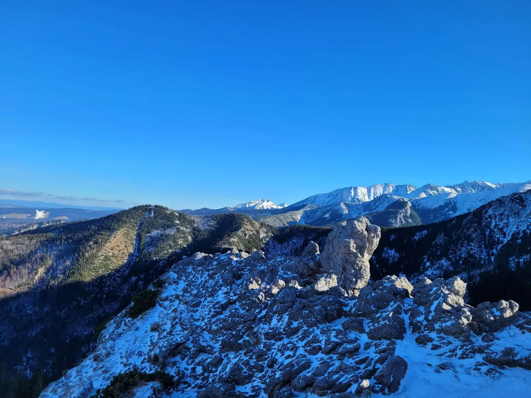
Aim: Testing your fitness. It’s going to be uphill, you’ll be out of breath, but no precipices.
Here, you’ll have to battle gravity a bit. Hikes last 3–5 hours. You’ll find out if your knees and lungs can handle it.
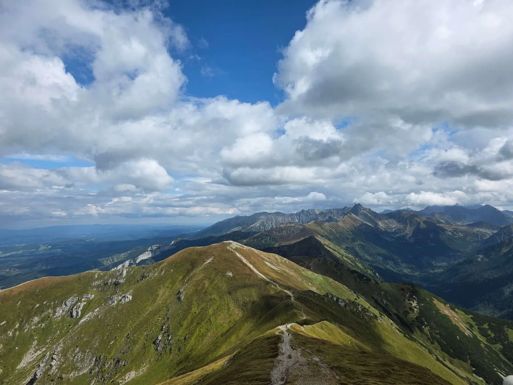
Objective: A full day in the mountains. We’ll be above 2,000 metres. We’ll get used to the open terrain.
We’re heading into the high sections. Trips last 6–8 hours. You’ll need stable weather and plenty of stamina.
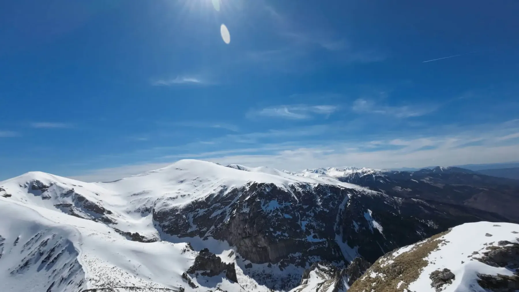
Objective: Technical difficulties. Chains, clamps, exposure. Conquering the fear of heights.
This is no joke. Here, fitness alone isn’t enough – you need a ‘clear head’ (mental resilience) and steady hands.
Take your time. The mountains aren’t going anywhere. It’s better to take a step back than one too many. See you on the trail!
How to read a Tatra tourist map: trail colours, contour lines, walking times, and the traps that help you avoid a bad decision before you leave the valley.
Is Wołowiec hard? See how much effort the climb takes, where the route wears you out, when to turn back, and how to plan the day with some sense.
Check when the Kasprowy cable car runs, how weather and maintenance change the timetable, and how to plan the day so you are not standing for hours or walking into a July crowd.
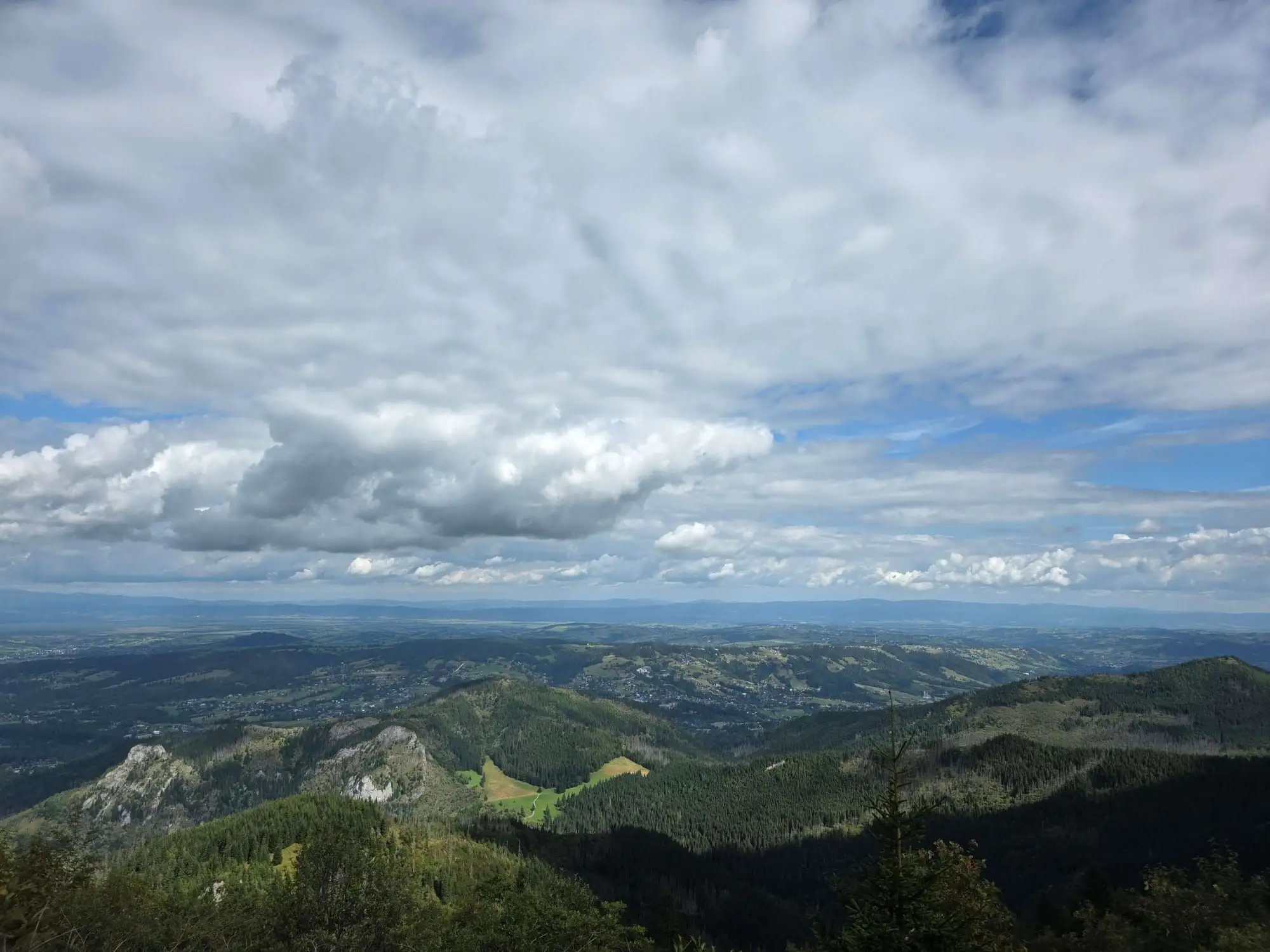
Start: Kiry · via The four 2,000-metre peaks and Ciemniak and Krzesanica
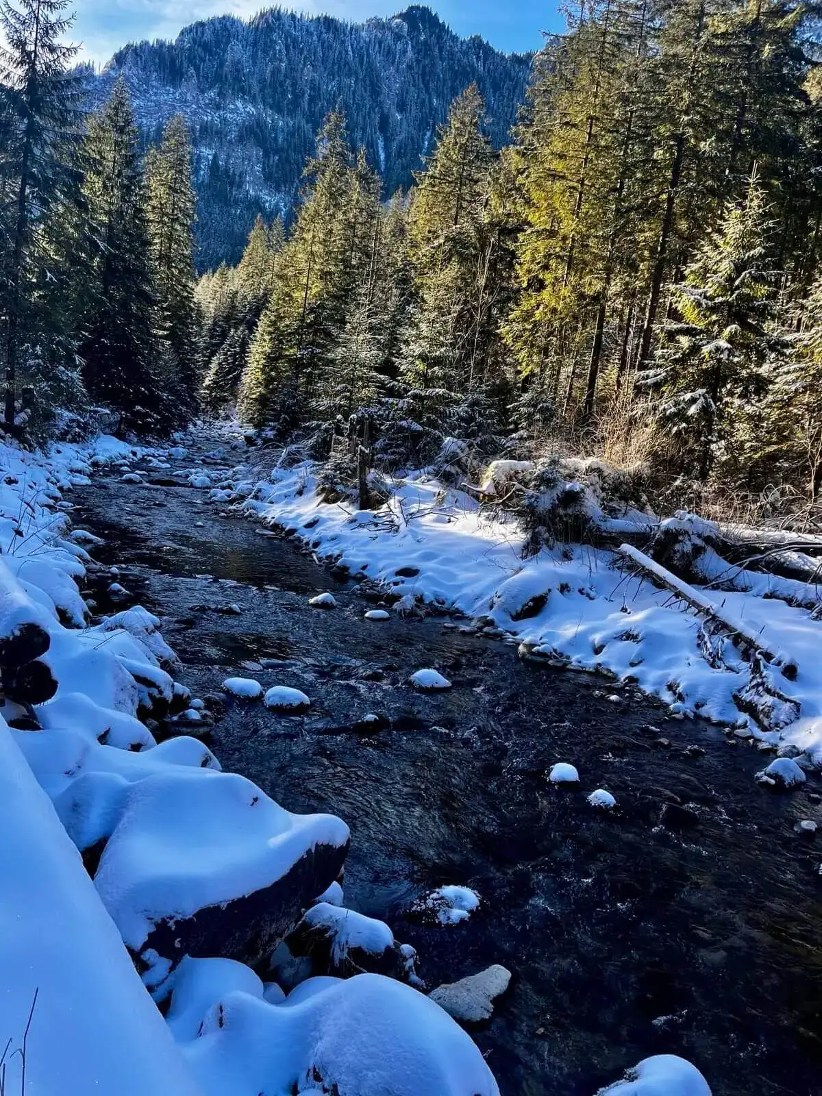
Start: Kiry · via Mroźna and Mylna Caves and Kraków Gorge
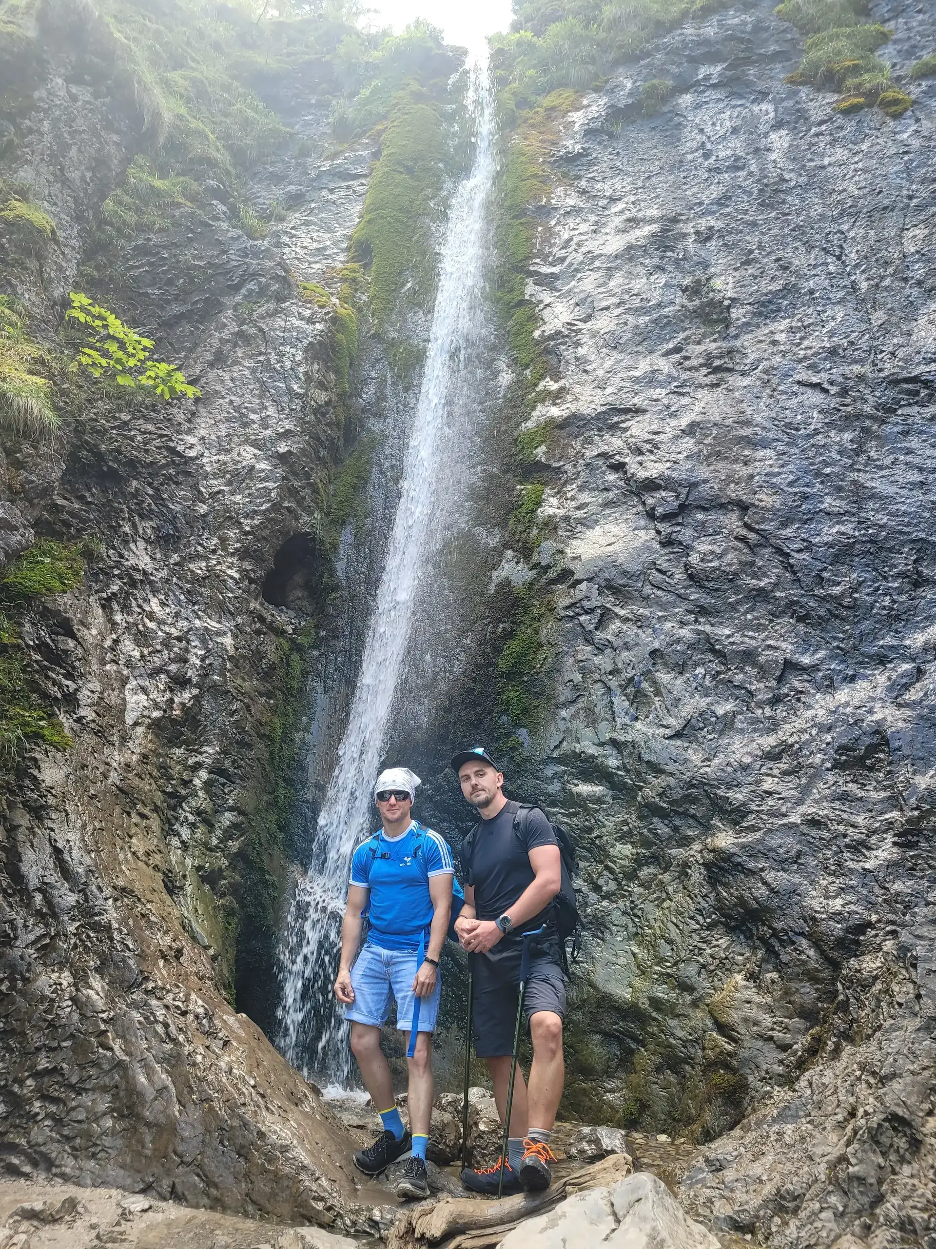
Start: Zakopane (Strążyska street) · via Siklawica Waterfall and View of Giewont