
7 beginner-friendly trails in the Tatras, without the stress
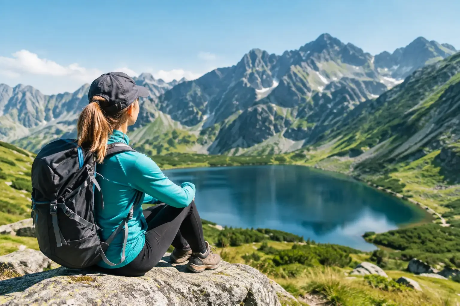
Your first Tatras trip does not have to mean bagging a summit, DOMS until Wednesday, and nervously checking your phone to see if you will make it back before dark. Good beginner trails in the Tatras run through valleys, to mountain lakes and onto meadows with a view, but they still need the same basic common sense as more ambitious days out. The Tatras look small on a map, but they can show their character fast: rain, wind, slippery rock and a queue of people on the trail do not care how much experience you have.
For the first day, pick a route you can turn back from without feeling like you failed. The goal is not to tick off the most kilometres. The goal is to come back keen for the next day, not convinced that mountains are only for people in running tights and boots that cost half a month’s pay.
How to choose beginner trails in the Tatras
The word beginner can be misleading. Someone may be walking in the Tatras for the first time, but they run or cycle regularly. Someone else walks in the woods, yet has poor fitness or a fear of heights. So instead of looking only at the trail colour, check four things: the round-trip distance, the total ascent, the type of surface, and a realistic time of return.
To start, the best destinations have no chains, ladders, exposed ridges or tricky navigation. That does not mean a stroll in city sneakers. Even the asphalt to Morskie Oko can be slippery after rain, and the rocks by the lake do not turn soft just because you came with a child or on holiday.
Treat the times on the signs as walking time only, for someone moving at a decent pace. Add breaks, photos, a toilet stop, a jam of people on the climb, and the pace of the slowest person in the group. If the map says five hours and you plan for seven, that is a very healthy way to approach it.
7 trails for a first encounter with the Tatras
Dolina Strążyska and Polana Strążyska
This is a short classic just outside Zakopane, good for a warm-up after the journey or a morning with an uncertain forecast. From the valley entrance to Polana Strążyska it is about 2 km one way, and the whole outing with the walk in and a calm look around usually takes 2-3 hours. You walk a wide path along the stream, and at the end you get a view of Giewont without climbing its crowded and demanding summit.
You can continue up towards Siklawica, but after rain the rocks there are slippery. This is not a place for a race, or for walking right up to the waterfall in flip-flops. A short trail does not excuse you from thinking.
Rusinowa Polana and Wiktorówki
Rusinowa Polana is one of the best views for relatively little effort. From Wierch Poroniec the walk usually takes about 1-1.5 hours, and the round trip is roughly 8 km and 3 hours of easy walking. The climb is obvious, but it has no technical difficulty.
On the meadow the panorama does the job: the High Tatras stand opposite so close that it is easy to overdo the photos and be late for lunch. On the way it is worth looking into Wiktorówki. This is a good choice for people who want to feel the mountain, not just walk a flat valley.
Dolina Kościeliska to the hut on Hala Ornak
Dolina Kościeliska is long, popular and very rewarding for beginners. The full walk to the hut on Hala Ornak and back is about 18 km and 5-6 hours. The trail follows a wide valley, passing a stream, rocks and meadows, so the scenery changes more often than the gentle profile suggests.
It is a great option for a full day, but do not try to tick off every attraction along the way. The caves have their own rules, they can be cold and need a torch, and extra sections stretch the day. Pick one thing beyond the main trail, or just sit down at the hut. The Tatras do not keep a scoreboard.
Dolina Chochołowska to the mountain hut
Chochołowska is even longer, but technically easy. To the hut and back it comes to about 20 km, most often 6-7 hours including a rest. This is a suggestion for beginners who already have longer walks behind them and know that eight hours on their feet is not a punishment.
In spring the valley draws crocuses, and with them a human snake from the car park to the meadows. If you want quiet, pick a weekday or another season. A bike can shorten the walk along the wide road, but only if everyone in the group rides with confidence. On a trip with someone who is afraid of descents, it is better not to turn a simple walk into a survival lesson.
Morskie Oko, then a decision at the shore
Morskie Oko is the most obvious destination, and that is exactly why it is worth managing well. The trail from Palenica Białczańska is about 18 km round trip, and the asphalt road usually takes 5-6 hours with stops. There is no exposure and no technical difficulty, but the distance is real, and in season the crowds can take some of the pleasure away.
Once you arrive, do not assume you also have to walk around the lake or go up to Czarny Staw. The circuit of Morskie Oko is gentle and worth the effort, while the climb to Czarny Staw is already rocky and more tiring. Check the weather, your legs and the time. Turning back from the lakeshore is common sense, not surrender.
Hala Gąsienicowa via Dolina Jaworzynki
This is a step up, but still a sensible direction for a fit person without high-mountain experience. From Kuźnice through Dolina Jaworzynki to the Murowaniec hut is about 12-13 km round trip and 5-6 hours of walking. The climb is long, uneven in places, and can properly warm up the calves.
The reward is proper Tatras scenery and a hut where you can rest before the descent. On a first visit, do not immediately add a climb of Kasprowy Wierch or a loop over the passes. Hala Gąsienicowa is a full destination on its own. And the descent when you are tired is often less elegant than the ambitious plan on paper.
Popradské pleso on the Slovak side
If you are staying on the Slovak side or fancy a change of perspective, Popradské pleso is a very good choice. From Štrbské Pleso you can walk there on a comfortable trail in about 1.5 hours, and the whole outing usually fits into 3-4 hours. The lake, the hut and the views of high walls give a sense of big mountains without pushing beginners onto terrain with chains.
Do check the parking rules, access and current notices on the Slovak side before you set off. In the Tatras the border does not change the weather, or the consequences of a bad decision.
Gear that actually makes a difference
You do not need to kit out a Himalayan expedition for these trails. You do need shoes with a grippy sole, a rain layer, something warm for a stop, water and food. In summer the sun on an open meadow can burn faster than city habits suggest, so a cap and sun cream are not just props for a photo either.
Treat a phone with a charged battery and a downloaded offline map as backup, not the only plan. A small power bank is useful. Poles can take the load off the knees on a long descent, but they will not replace fitness or good shoes. If the forecast promises storms, do not try to squeeze in a trip to Hala Gąsienicowa in the afternoon. Pick a valley, a museum, the pools, or a coffee in Zakopane. A high-mountain outing in a downpour and a thunderstorm is not an adventure, just a stupid idea.
When an easy trail stops being easy
The same Dolina Kościeliska will be a calm day for a couple in June and an exhausting outing for a family with small children in October cold. After rain, roots and rocks get slippery, in the heat strength goes faster, and in autumn dusk arrives without asking whether you made it in time for dessert at the hut.
In winter most of the directions described need a completely different reading of conditions. Snow, ice, avalanches and a short day can turn a summer beginner trail into an outing only for people with experience and the right gear. Do not trust a beaten track blindly. Sometimes it leads to the destination, and sometimes it follows someone who also did not check the bulletin.
For your first Tatras day, pick a destination a little easier than ambition suggests. If you get back before dark, with dry things in your backpack and energy left for dinner, tomorrow the mountains will still be waiting.
Read next
 2026-09-17
8 of the best Tatra trails for a good day
The best Tatra trails for beginners and seasoned hikers: specific routes, difficulties, walking times, and advice on when to turn back without taking extra risk in season.
#trails#tatras#views+1View post 2026-06-14
Why are your Tatra photos boring? 5 simple smartphone photo tricks
You’re standing on Szpiglasowy Wierch, the view takes your breath away, you take a photo... and on your screen it’s a flat, grey blob. See how to take smartphone photos in the Tatras so your friends on Instagram drop their jaws.
#photography#tips#smartphone+1View post 2026-06-07
Quick picks: 5 short Tatras trails when you only have half a day
You arrived Friday afternoon? You’re leaving in the morning, but you still want to feel the mountains? Or you just overslept? Here are 5 short but spectacular Tatras trails you can do “in one go”.
#easy routes#tips#short hikes+1View post
Related trails
- Distance: 16.7 kmDuration: 8 h 25 min
Baraniec (Baranec)
Difficulty: difficult (very steep gradient!)
#slovakia#western tatras#fitness+2View trail - Distance: 19.1 kmDuration: 5 h 54 min
Czarny Staw pod Rysami
Difficulty: moderate
#high tatras#lake#views+1View trail - Distance: 24.1 kmDuration: 10 h
Jarząbczy Wierch
Difficulty: difficult (fitness-wise)
#western tatras#fitness#border+1View trail
Recent blog posts
 2026-09-18
Tatra weather - how to read the forecast before you go
Tatra weather can turn a good plan into a wet retreat. Learn how to read forecasts, spot a storm coming, and match your route to the conditions in the Tatras.
#safety#weather#planningView post 2026-09-10
The Tatras at full throttle and a cycling reset. Our 5-day marathon (and the drive back to Szczecin)
How do you squeeze the most out of a holiday when you have to drive across the whole of Poland? Here is our plan: 4 days of hard hiking in the Tatras and 1 day of cycling chill by Lake Czorsztyn to loosen up the knees.
#trip report#planning#bikes+2View post 2026-08-30
Trial by fire. How do you take a friend into the Tatras without ruining your friendship?
You are in iron shape and want to show your friend or partner the beauty of the Tatras? Before you drag them onto Orla Perć in trainers, read how to plan the trip so they do not come home in tears.
#for beginners#tips#safety+2View post 2026-08-20
15 tabs open in your browser? How to plan a Tatras trip without losing your mind
You look up a trail, then a hotel, then tickets for the thermal baths... and suddenly you have 20 tabs open. See how from today you can do it all in one place, over your morning coffee.
#planning#tips#accommodation+2View post 2026-08-02
Sun in Zakopane, a storm on Kasprowy. Why do the mountains lie about the weather?
You check an app: sunshine and 25°C. You reach the top and suddenly you are running from lightning. Learn how to read weather forecasts in the Tatras and why the “before noon” rule can save your life.
#weather#safety#tips+1View post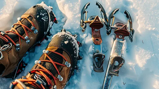 2026-07-28
Crampons or microspikes? How to prepare your gear for a winter trip in the Tatras
Planning a winter walk to Kościeliska Valley or heading up to Grzes? See what gear you need so your hike doesn’t turn into a slide on your own back.
#winter#gear#safety+4View post
Popular trails
- Distance: 21.4 kmDuration: 10 h 10 min
Banówka (Baníkov)
Difficulty: difficult (high exposure, climbing, chains!)
#slovakia#western tatras#západné tatry+3View trail - Distance: 19.1 kmDuration: 5 h 54 min
Czarny Staw pod Rysami
Difficulty: moderate
#high tatras#lake#views+1View trail - Distance: 15.6 kmDuration: 8 h 27 min
Czerwone Wierchy (Red Peaks)
Difficulty: average
#western tatras#ridge#fitness+2View trail - Distance: 5.1 kmDuration: 2 h 10 min
Dolina Białego (The Biały Valley)
Difficulty: easy
#western tatras#valley#walk+1View trail - Distance: 12.6 kmDuration: 3 h 45 min
Dolina Chochołowska (The Chochołowska Valley)
Difficulty: easy
#western tatras#valley#for family+1View trail - Distance: 11.1 kmDuration: 2 h 59 min
Dolina Kościeliska (The Kościeliska Valley)
Difficulty: easy
#western tatras#valley#for family+3View trail
Did you find the information here useful? I spent quite a bit of time compiling it. If it helped you plan your trip, buy me a virtual coffee! ☕
Buy me a