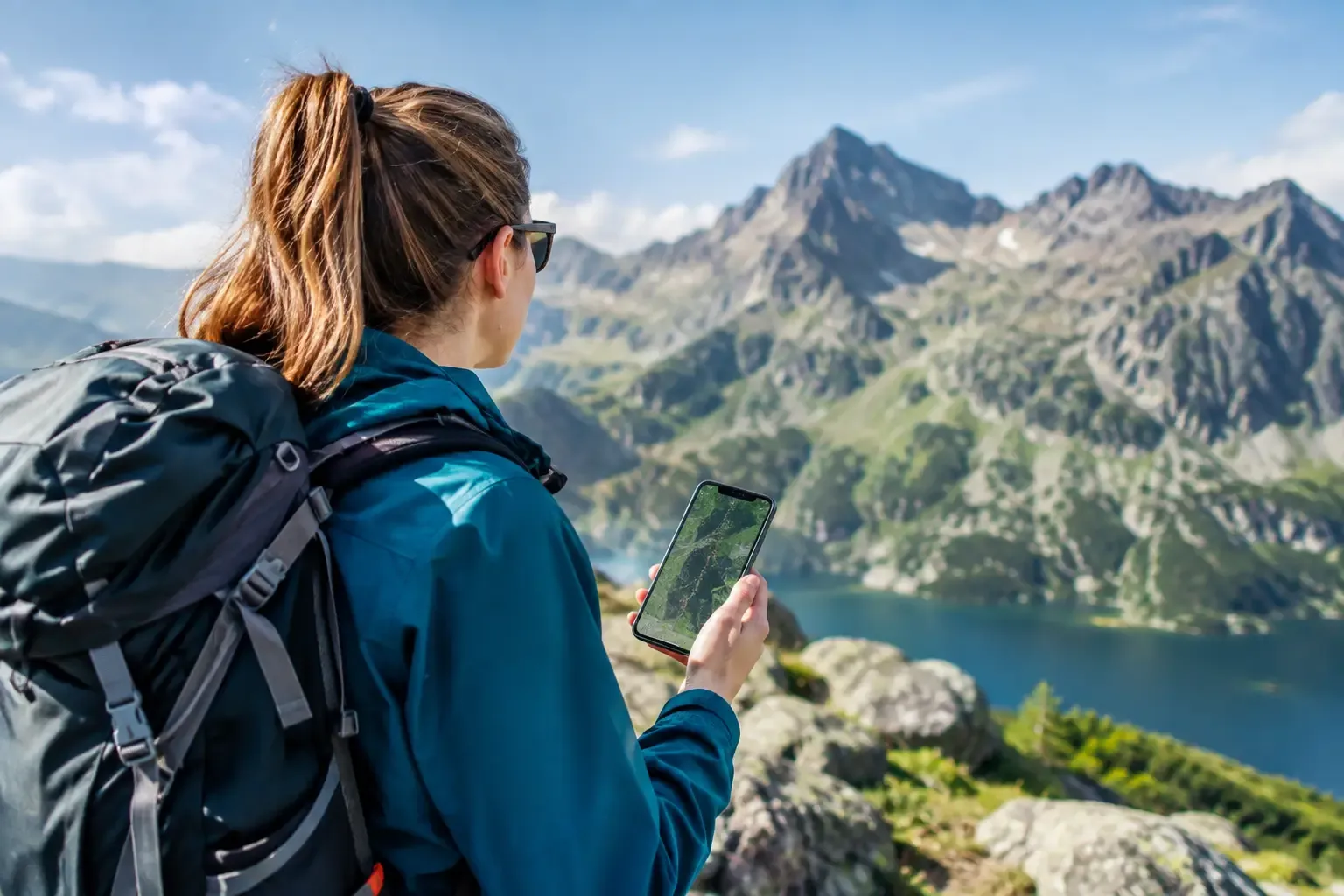
A phone in the Tatras can save the day’s plan, your nerves, and sometimes a great deal more. Only if you do not treat it like a crystal ball with internet on every pass. These mountain app reviews cover the tools that actually make sense on Polish and Slovak trails, and the features you should not trust without checking the ground, the weather and your own limits.
First, the blunt part: an app does not know whether the stones are as slippery as soap after a night of rain, whether a beginner in the group will freeze in front of the chains, or whether you will catch the last bus from Palenica. What it can do is help you decide better before you set off, and keep you from getting lost when the fog swallows the trail marker.
Mountain apps: reviews of what is worth having
You do not need seven apps that do the same job for a trip to the Tatras. Three roles are usually enough: a good offline map, a weather forecast that accounts for altitude, and an emergency app. A fourth, optional one can record a track or guide you along a route, if you like looking back at trips afterwards.
Mapy.com: the best starting point for most people
Mapy.com, formerly known as Mapy.cz, is for many hikers the most practical app in the Tatras. It has a clear hiking map, marked trails, contour lines, walking times and very good offline maps. It works on both sides of the border, which matters when you are planning the Roháče, the area around Popradské pleso, or a crossing over a pass, and not only a walk through Dolina Kościeliska.
Its biggest advantage is simplicity. You can plot a route, check the elevation profile and download the area before you go to bed, instead of counting on a bar of signal on Orla Perć or below Baranie Rogi. For someone who comes to the Tatras once or twice a year, it is usually the best choice.
The weak point? The calculated time is not a verdict. The app does not know your pace, the queues under the chains, the photo stops, or the fact that the group includes a child or someone climbing 1,200 metres for the first time. Add a margin, especially on high routes. If the app shows eight hours, do not book dinner in Zakopane for eight hours and five minutes later.
Locus Map, for people who like to be in control
Locus Map has more features, more settings, and at the start more places where you can change something by accident. It is an app for people who hike regularly, use GPX files, want precise control of map layers, and like to follow a track they prepared earlier.
In the Tatras it works well for more ambitious plans, especially when you are linking several sections or setting off before dawn. You can load your own route and keep an eye on the line, which helps in fog on the more open Slovak terrain. Do not confuse a GPX track with a trail you are allowed to walk. A route found online can run through a closed section, a strictly protected area, or a variant that in winter calls for completely different skills.
For beginners, Locus is often more tool than you need. Rather than spending an hour setting up the screen, download a simple offline map, read the route description and set off early.
Garmin Explore and a watch: convenient, not immune to mistakes
If you use a Garmin watch, Garmin Explore can keep routes, points and tracks in order. A watch is convenient because you do not have to pull the phone out of a pocket every five minutes, and the altitude and pace readings help you judge progress. That is useful on long climbs, when you want to know how much work is actually left, not how many kilometres the map suggests.
The problem starts when the screen on your wrist matters more than what is around you. A watch will not warn you that a storm is building faster than the morning forecast suggested. It will not judge whether the descent from Zawraton wet rock is a sensible idea for your group. Technology should support what you see on the ground, not replace it.
Weather in an app: check it, don’t tell fortunes
In the Tatras, a forecast for Zakopane can tell you very little about the ridge. Down in the valley the sun is out, while higher up the wind knocks people off balance and cloud closes the view. Compare forecasts, and look at wind, precipitation, feels-like temperature and the hour a front is due, instead of stopping at a cloud icon.
Windy is excellent for watching wind, rain and how the situation develops over time. Meteoblue helps when you want the forecast broken down by the hour and by different measures. Neither app offers a guarantee, but together they make it easier to spot a day when the high mountains are better left alone.
The biggest mistake? Looking at the forecast in the evening, seeing two raindrops, and deciding “it’ll be fine”. If the rain is due in the morning and the route crosses exposed ground, “fine” usually means wet rock, worse visibility and a nervous rush. A high-mountain trip in heavy rain is not an adventure from a brochure. Often it is simply a stupid risk.
Rescue and contact: an app you hope never to open
The Ratunek app belongs on the phone of anyone heading into the Polish mountains. It makes it easier to send your location to the rescue services when you really need help. Install it and set it up at home, not when someone twists an ankle below Giewont, the phone is on 4 per cent, and the whole group is talking at once.
On the Slovak side, remember that different services apply, and help is organised differently. Before the route, check how you call for rescue in the country you are walking in, and whether your insurance covers a mountain rescue. That is not dull paperwork. In Slovakia, the cost of a rescue can land on the hiker.
An emergency app does not replace the basics: a charged phone, saving battery, a power bank, and telling someone the plan. Signal can disappear in the valleys, and in the cold a battery likes to die faster than your motivation on the last kilometre of the climb.
How to prepare the phone before the route
The evening before, download offline maps for the whole route, not only the start. Save the descent option too, and the area around the hut or the car park. Open the route with no internet and check that you can actually see it. It is a basic test that people skip in large numbers.
Charge the phone, take a power bank and a cable, and on a colder day keep the device close to your body. Turn on battery saving, but do not switch off location if you are using navigation. A screenshot of the important details is worth having too: sunset time, the forecast, the emergency number and the plan for getting back.
You do not have to record a track every day, post updates and check the altitude every three minutes. If the battery has to last for safety, the Instagram photo can wait. In the mountains, the order of priorities is fairly clear.
Which set should you take to the Tatras?
For most people, a sensible set is Mapy.com with the offline map downloaded, one or two weather apps so you can compare forecasts, and Ratunek. Someone who hikes more often can add Locus Map or a watch with navigation. This is not a contest for the most icons on the screen. It is preparation for a specific route.
Before you set off, look at the app, and then look at the sky, the time, and the people you are walking with. If the conditions no longer match the plan, turning back is a much better story than a rescue. The Tatras will not take offence if you come back another time.

 2026-10-08
 2026-10-07
 2026-10-05
 2026-10-09
 2026-10-06
 2026-10-04
 2026-10-04
 2026-10-03
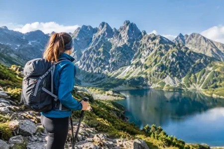 2026-10-02
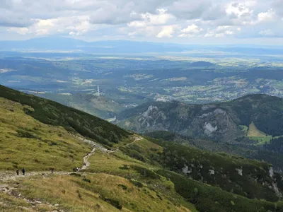 Distance: 18.5 kmDuration: 8 h 09 min
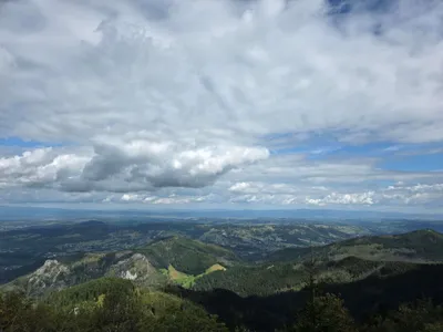 Distance: 15.6 kmDuration: 8 h 27 min
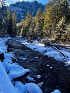 Distance: 11.1 kmDuration: 2 h 59 min
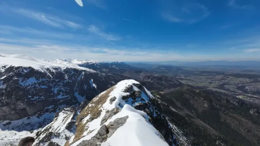 Distance: 6 kmDuration: 3 h 15 min
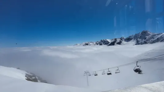 Distance: 12.9 kmDuration: 5 h 31 min