planning8 min read
How to plan a pre-dawn start in the Tatras
How to plan a pre-dawn start in the Tatras: the wake-up, the car park, the forecast, the kit and a plan B, so an ambitious route starts without chaos or needless risk.
Live webcams in the Tatras: where the TOPR cameras are (Morskie Oko, Five Ponds, Kasprowy, Hala Gąsienicowa), what they tell you and what they cannot show.
Author: Konrad Leśniak4 min read
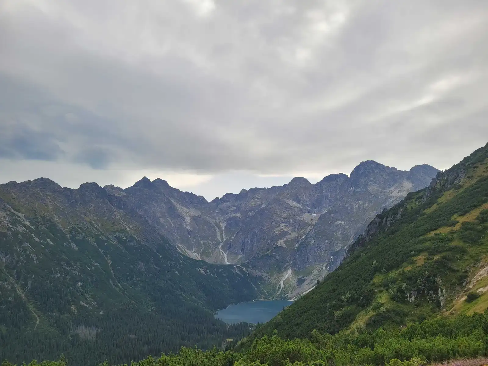
The forecast says “partly cloudy”, it is raining in Zakopane, and you do not know whether to drive to Palenica. In that situation webcams give you the fastest answer. A few minutes in front of the screen and you can see whether there is sun or fog over Morskie Oko, whether there is snow on Kasprowy, and whether the clouds sit in the valleys or on the ridges. In our rainy-day guide we wrote that sometimes it pours in Zakopane while the sun shines above the clouds. Webcams let you check that.
💡 In a nutshell – Tatra webcams:
- Where: TOPR cameras at pogoda.topr.pl – free, no login.
- Views: including Morskie Oko, Five Ponds Valley, Hala Gąsienicowa, Kasprowy Wierch, Polana Chochołowska, Kościelisko.
- What you can see: cloud cover, fog, snow cover, inversion, wind on the ridges (from clouds and snow).
- What you cannot see: ice on the trail, avalanche danger, crowds on the chains. For that there is the avalanche bulletin and TPN notices.
- Always check the image time – the picture may be tens of minutes old or frozen.
The most important cameras in the Polish Tatras are provided by TOPR at pogoda.topr.pl. As of November 2026 – the list changes from time to time, so treat it as a guide rather than a fixed table:
For the Slovak side (e.g. Popradské pleso, Smokovce), cameras are collected by sites such as wideokamery.pl. Handy if you plan a route on the Slovak side or want to see the Tatras from the south.
Cloud height. The most important piece of information. If Kasprowy is white with fog while the ridges are visible from Kościelisko, the clouds sit at summit level – good weather for valleys, poor for ridges.
Inversion. A sea of clouds in the valleys with clear sky above. From Zakopane it looks like a grey day, while up high the sun is out. The Kasprowy cameras show it best.
Snow. In autumn and spring, cameras immediately show from what altitude the snow starts. If Kasprowy is white and Polana Chochołowska is green, you know where winter begins and from where you need microspikes or crampons.
Wind. A camera will not show wind speed, but it shows its effects: snow blown off the ridges, clouds “pouring” over the passes. That is a sign the ridge will be unpleasant. Actual numbers are on the same TOPR site, in the weather station data.
A camera shows the view, not the conditions underfoot. You will not see:
One more thing: always check the time of the image. A camera can freeze, and a picture from a few hours ago looks just as convincing as a current one.
A simple routine that works:
Webcams do not replace good judgement on the trail either. If conditions on the spot are worse than on the screen in the morning, what you see on the spot is what counts – when to turn back in the Tatras.
Other useful tools before you go: mountain apps.
Newsletter
A few times a year: trail conditions, closures, the best time to go and new routes. No weekly spam.
How to plan a pre-dawn start in the Tatras: the wake-up, the car park, the forecast, the kit and a plan B, so an ambitious route starts without chaos or needless risk.
Wielka Świstówka on the route through Kobylarzowy Żleb: the difficulty, the chains, the weather and sensible preparation before heading for Czerwone Wierchy.
Is Wołowiec hard? See how much effort the climb takes, where the route wears you out, when to turn back, and how to plan the day with some sense.
These are affiliate links. If you book a stay or a ticket through them, we earn a small commission, for coffee :), at no extra cost to you.