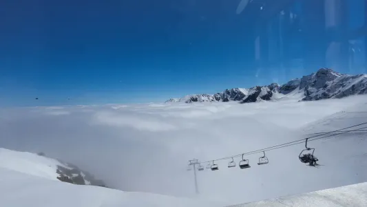
Kasprowy Wierch can fool you. You ride the cable car, take a few steps from the top station, and the panorama people get up before dawn for is already under your feet. That is why the scenic trails around Kasprowy Wierch are so popular. The problem is that a beautiful photo says nothing about the wind, a storm over the ridge, or whether your group really has the strength to walk down to Kuźnice for a few hours.
This is a great place for an ambitious day in the Tatras, but not for a spontaneous “we’ll see where our legs take us”. Kasprowy offers several routes of a completely different kind: from a sensible descent to Hala Gąsienicowa to long, exposed ridge crossings. The choice should depend on the weather, fitness, experience, and the hour you step onto the trail, not on the number of likes under a photo.
Scenic trails around Kasprowy Wierch: what to pick?
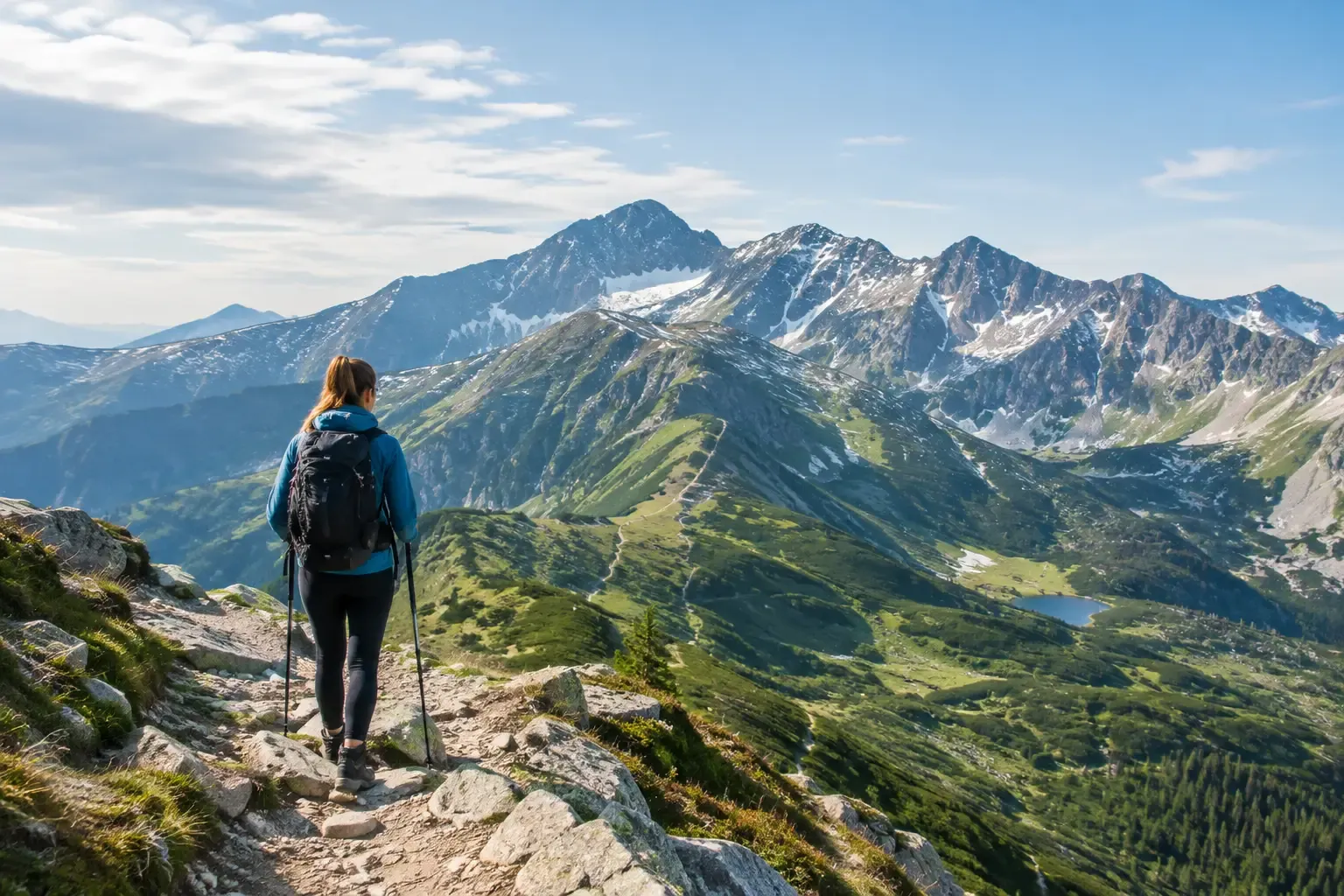
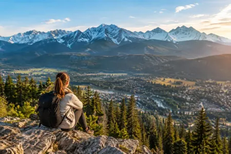
The summit sits on the main Tatra ridge, on the border of Poland and Slovakia. On one side you look over Hala Gąsienicowa, the tarns, and the jagged towers of Orla Perć. On the other, Dolina Goryczkowa, Czerwone Wierchy, and the Slovak slopes open out. The views arrive almost at once. Comfortable walking does not.
If you use the cable car, remember the important part: a ticket is not a guarantee of a safe trip. The top station is high, and the weather there can be completely different from Zakopane. Sun on Krupówki and fog with wind on Kasprowy is a normal Tatra pairing, not fate being spiteful. Before you step onto the ridge, check the forecast for the high ground, the TPN notices, and the real time of the last ride down if you plan to return by cable car.
Kasprowy Wierch - Hala Gąsienicowa via Sucha Przełęcz
This is the most sensible option for people who want high-mountain views but are not looking for chains or a fight with exposure. From Kasprowy you descend the yellow trail through Sucha Przełęcz towards Hala Gąsienicowa. The route itself, from the top to Murowaniec, usually takes about 1.5 to 2 hours, depending on pace and conditions. It is not technically hard, but the stones are loose, and after rain they can be as slippery as soap.
The biggest reward is the view that opens, bit by bit, onto the Kościelec massif, Świnica, and Czarny Staw Gąsienicowy. It is a good variant for families with older children, beginner hikers, and anyone who only has part of the day. You can finish at Murowaniec and descend the blue trail to Kuźnice, or add a walk up to Czarny Staw Gąsienicowy. The second option lengthens the day, but it is worth the effort if the weather stays steady.
Do not treat this descent as a promenade after the cable-car ride. Plenty of people forget that you still have several hundred metres of height to lose. In light town shoes it quickly becomes a walk of curses under your breath.
Kasprowy Wierch - Hala Goryczkowa - Kuźnice
The green trail through Hala Goryczkowa is the classic descent on the Polish side. From the top station to Kuźnice it most often takes 2.5 to 3.5 hours. It is less rocky than the way towards Hala Gąsienicowa, but longer, monotonous in places, and hard on the knees, especially when the ground is wet.
For views you get a wide look over Dolina Kondratowa, Giewont, and Czerwone Wierchy. It is a good route for a day of uncertain weather, as long as there is no storm and no strong wind. On the way down you lose height faster than on the ridge, so the safety margin is bigger. That does not mean you can start late. In autumn and early spring, dusk arrives sooner than a holiday memory suggests.
This variant is also a sensible backup when the cable car stops running, or the weather will not let you continue along the ridge. A plan B in the Tatras is not a sign of weakness. It is a sign that you do not want to star in a story about wandering around in the dark.
Kasprowy Wierch - Beskid - Liliowe
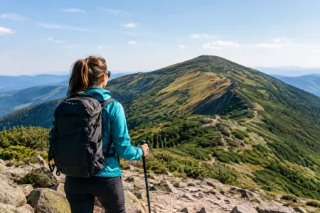
A short stretch of ridge towards Beskid and Liliowe gives huge views over a relatively short distance. It suits people who want to feel the open space of the high Tatras without planning a full-day trip. The trail runs high, with no cover from the forest, so the wind, the cold, and the fog hit you here with no discount.
The walk to Liliowe and back can take about 1.5 to 2 hours, but the time depends on the crowd and the conditions. In summer a human snake forms on the narrow sections and can thoroughly wreck the rhythm of the walk. Take one of the first rides up, or pick a day that is not a weekend.
On this route it is especially easy to underestimate the temperature. It is 22 degrees down below, the wind does its work up top, and suddenly a light fleece is not enough. A windproof jacket, a warm layer, and a hat belong in the pack even when the forecast looks like a holiday.
Towards Świnica, only for people who are ready
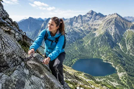
The ridge onwards towards Świnica is a different league from a stroll around Beskid. The route is hard on fitness and on technique, and the final sections bring exposure and chains. In season you also have to reckon with queues, and they are not merely annoying. Waiting on steep ground while a storm cloud builds can turn an ambitious plan into a very bad idea.
Do not take someone there who has never walked rocky trails, just because they will “somehow manage”. They might. Or they might freeze at the first harder spot, scared by the drop. This is not a test of character, and it is not a good moment for shock therapy. Go to Świnica when the whole group knows what to expect, walks with a sure step, and can turn back without a drama.
Weather, the cable car, and the season: three things that change the plan
Around Kasprowy the conditions change fast, because you are on open ground. Fog can take away your bearings in a few minutes, wind can make it harder to keep your balance, and a storm on the ridge is a real danger, not an anecdote for the evening. If you hear thunder, see clouds building, or the forecast calls for storms, do not negotiate with the sky. Get lower.
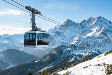
The cable car to Kasprowy is a convenient shortcut, but it has limits. Tickets for set departure times, queues to board, strong wind that can cut the service, and a crowd on the summit all belong in the plan. Do not build the whole day on the assumption that you will ride down exactly when you want. Have a walking descent written down, and enough water and food for a few extra hours.
Be especially careful outside high summer. Snow, ice, and icy stones can linger a long time, even when spring is already underway in Zakopane. In winter and in the shoulder seasons, a summer description of the route stops being enough. You need the right skills, the right kit, and a current read of the conditions. Crampons bought yesterday do not make anyone a winter hiker.
How to plan the day without rushing it
First decide whether Kasprowy is the goal or the start of the route. If it is the goal, a ride up, a short walk on the ridge, and a descent via Hala Gąsienicowa or Goryczkowa make a full, satisfying day. If it is the start, plan the more ambitious variant only after an honest look at the group and the weather.
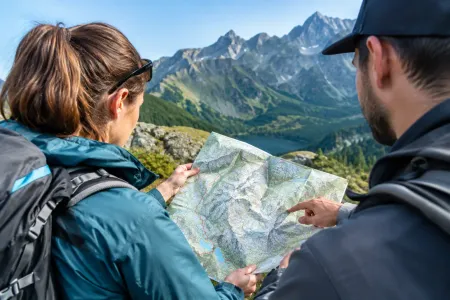
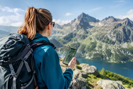
Take an offline map, a charged phone, water, food, an extra layer of clothes, and something against the rain. On stony trails, shoes with a decent sole help, and poles take the load off the knees on a long descent. There is no need to pack half a wardrobe, but heading up in trainers and one small bottle of water is asking for an unnecessary lesson in humility.
The best plan for Kasprowy does not always go the furthest. Sometimes it is wiser to turn around at Liliowe, walk down calmly to Hala Gąsienicowa, and still have the energy to enjoy the view, instead of ticking a summit off on shaking legs. The Tatras will still be here tomorrow. Your safety should matter more than the route saved in an app.

 2026-10-11
 2026-10-10
 2026-10-08
 2026-10-13
 2026-10-09
 2026-10-07
 2026-10-06
 2026-10-05
 2026-10-04
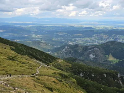 Distance: 18.5 kmDuration: 8 h 09 min
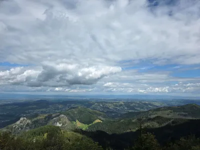 Distance: 15.6 kmDuration: 8 h 27 min
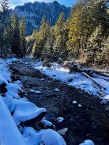 Distance: 11.1 kmDuration: 2 h 59 min
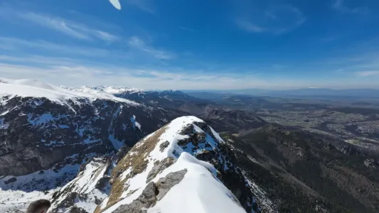 Distance: 6 kmDuration: 3 h 15 min
 Distance: 12.9 kmDuration: 5 h 31 min