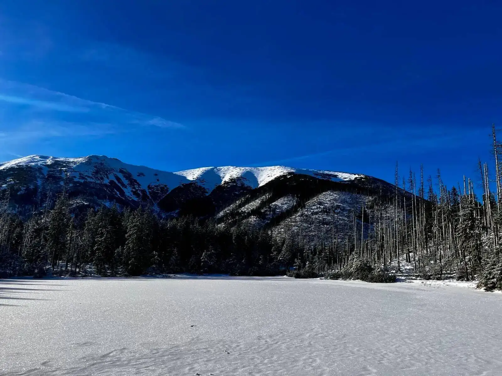
Difficulty: HardWestern Tatras (Západné Tatry)
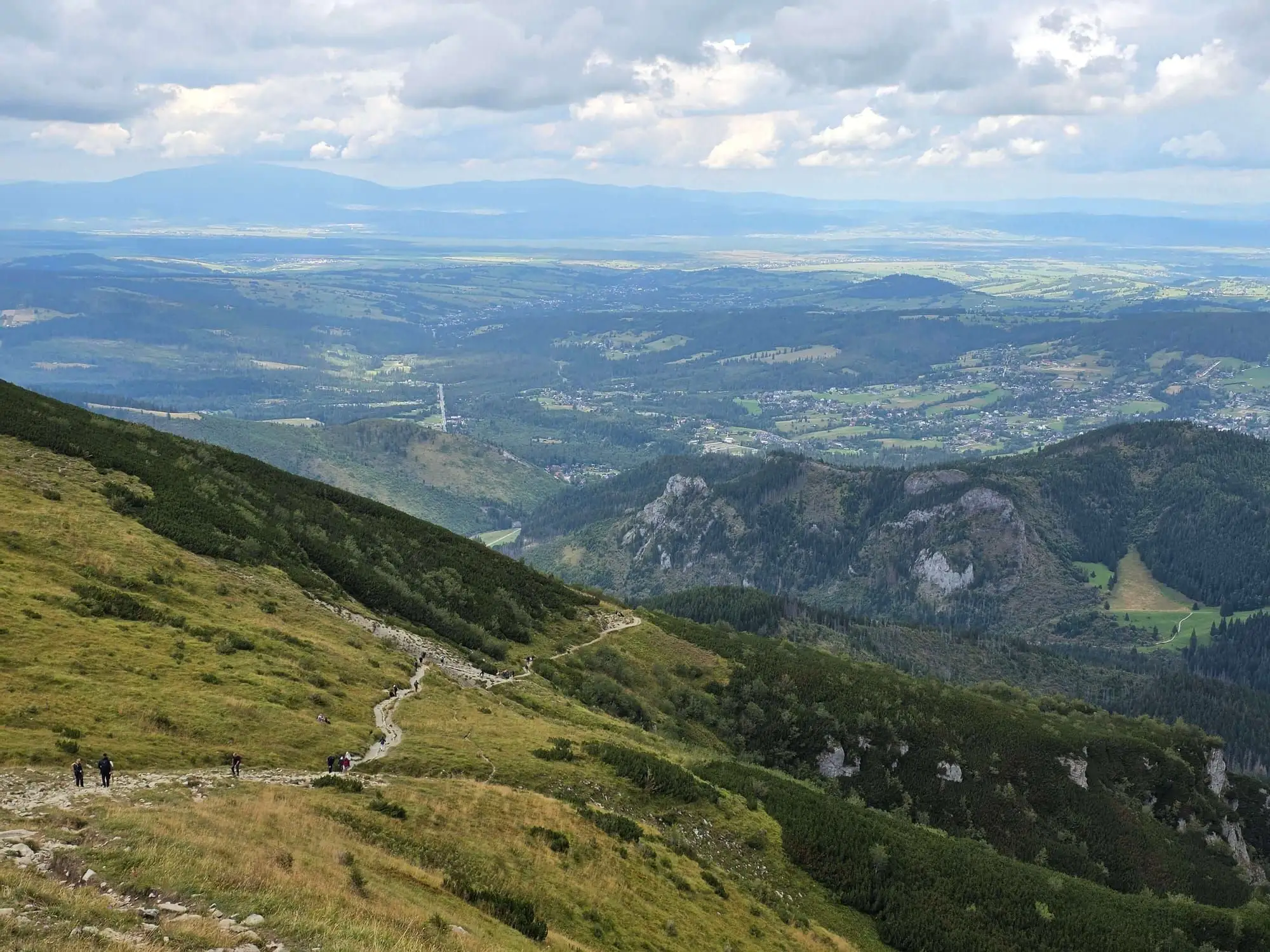
Banówka (Baníkov)
Start: Mouth of the Žiarska Valley (car park) · via Highest point of the Western Tatras main ridge and Plačlivý Roháč
- 9:50 h
- Time
- 20.6 km
- Distance
- +1745 m
- Ascent
Four starter lists. Everything else is in the catalogue, with search.
No chains, no exposure. Valleys and meadows where you can shorten the plan when someone in the group is done after an hour. Morskie Oko is here because it is technically an asphalt walk — not because it is short.
| Trail | Difficulty | Time | Start |
|---|---|---|---|
| Dolina Strążyska i Wodospad Siklawica (The Strążyska Valley and Siklawica Waterfall) | very easy | 1 h 41 min | Zakopane (Strążyska street) |
| Rusinowa Polana and Wiktorówki | very easy | 2 h 19 min | Wierch Poroniec |
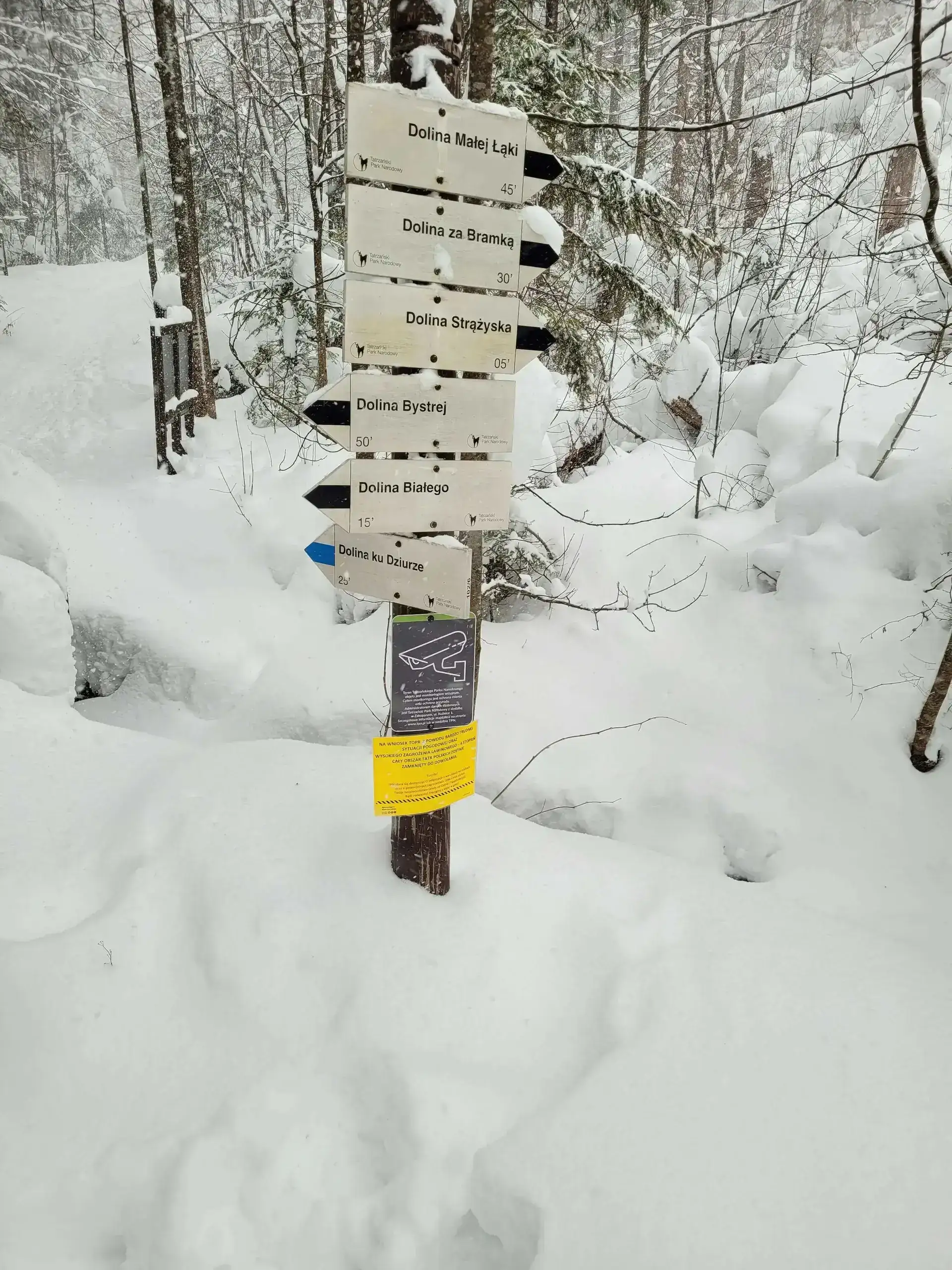
| Dolina Białego (The Biały Valley) | easy | 2 h 10 min | Dolina Białego |
| Dolina Małej Łąki (The Mała Łąka Valley) | easy | 1 h 47 min | Gronik |
| Dolina Kościeliska (The Kościeliska Valley) | easy | 2 h 59 min | Kiry |
| Dolina Chochołowska (The Chochołowska Valley) | easy | 3 h 45 min | Siwa Polana |
| Morskie Oko | easy | 4 h 14 min | Palenica Białczańska |
| Nosal | easy | 58 min | Kuźnice |
| Gęsia Szyja | easy | 2 h 55 min | Wierch Poroniec |
| Smreczyński Staw | easy | 3 h 52 min | Kiry (Kościeliska Valley) |
| Grześ | easy | 6 h 50 min | Siwa Polana (Chochołów Valley) |
| Wielki Kopieniec | easy | 1 h 50 min | Toporowa Cyrhla |
| Kalatówki and Hala Kondratowa | easy | 3 h 20 min | Kuźnice |
| Popradské pleso and the Symbolic Cemetery | easy | 3 h | Popradské Pleso, TEŽ stop |
Elevation and hours in the legs matter here, but you still do not need a chain. Walking Kasprowy and crossing Czerwone Wierchy are “moderate” only on paper. In heat and without water they get long.
| Trail | Difficulty | Time | Start |
|---|---|---|---|
| Hala Gąsienicowa and Czarny Staw Gąsienicowy | medium | 5 h 13 min | Kuźnice |
| Dolina Pięciu Stawów Polskich (The Valley of the Five Polish Lakes) | average | 5 h 45 min | Palenica Białczańska |
| Kasprowy Wierch | medium | 5 h 31 min | Kuźnice |
| Sarnia Skała | medium | 2 h 48 min | Zakopane (Dolina Strążyska) |
| Czerwone Wierchy (Red Peaks) | average | 8 h 27 min | Kiry |
| Kopa Kondracka | medium (fitness-wise) | 6 h 07 min | Kuźnice |
| Czarny Staw pod Rysami | medium | 5 h 54 min | Palenica Białczańska |
| Szpiglasowy Wierch (via Ceprostrada) | medium | 9 h 03 min | Palenica Białczańska |
| Kozi Wierch | difficult (fitness-wise) | 8 h 55 min | Palenica Białczańska |
| Roháčske plesá (Rohackie Stawy) | moderate | 5 h 50 min | Pod Spálenou car park (Roháče) |
| Zelené pleso (Chata pri Zelenom plese) | moderate | 6 h 14 min | Biela voda (SAD bus stop) |
| Świstówka Roztocka | moderate (long, exposed descent) | 7 h 15 min | Palenica Białczańska |
| Široké sedlo (Szeroka Przełęcz Bielska) | moderate / difficult (fitness) | 7 h 30 min | Ždiar, Tatra |
| Dolina Siedmich prameňov (Chata Plesnivec) | moderate (short, steep) | 3 h 26 min | Tatranská Kotlina, Čarda |
Giewont, Rysy, Zawrat, Kościelec, Orla Perć. “They have never used chains but they go to the gym” is not an argument. Strength does not replace comfort with height and wet rock.
| Trail | Difficulty | Time | Start |
|---|---|---|---|
| Giewont | medium / difficult | 5 h 57 min | Kuźnice |
| Rysy (from the Polish side) | very difficult | 11 h 44 min | Palenica Białczańska |
| Rysy (from the Slovak side) | difficult (fitness-wise) | 9 h 12 min | Štrbské Pleso / Popradské Pleso |
| Kościelec (The Polish Matterhorn) | very difficult (no chains!) | 7 h 29 min | Kuźnice |
| Zawrat Pass (from Hala Gąsienicowa) | difficult | 8 h 34 min | Kuźnice |
| Orla Perć (Zawrat - Krzyżne) | very difficult (for advanced hikers only) | 6 h 25 min | Zawrat Pass |
| Bystrá lávka (Bystra Ławka) | difficult (chains) | 7 h 51 min | Štrbské Pleso |
| Priečne sedlo (Czerwona Ławka) | very difficult (chains, exposure) | 8 h 11 min | Hrebienok (funicular from Starý Smokovec) |
| Granaty | very difficult | 8 h 30 min | Kuźnice |
| Kozia Przełęcz | very difficult (chains, rungs) | 7 h 20 min | Kuźnice |
Different ticket, different closures, usually less of a queue under a summit cross. Rysy from Štrbské Pleso is the more sensible line for many people than the Polish side from Palenica. From November to June TANAP closes trails above the huts.
| Trail | Difficulty | Time | Start |
|---|---|---|---|
| Rysy (from the Slovak side) | difficult (fitness-wise) | 9 h 12 min | Štrbské Pleso / Popradské Pleso |
| Krywań (Kriváň) | difficult (physically) | 8 h 55 min | Štrbské Pleso |
| Sławkowski Szczyt (Slavkovský štít) | difficult (physically) | 7 h 27 min | Hrebienok |
| Dolina Białej Wody (Bielovodská dolina) | moderate (long) | 7 h 38 min | Łysa Polana |
| Skrajne Solisko (Predné Solisko) | moderate (steep red) | 4 h 27 min | Štrbské Pleso |
| Koprowy Wierch (Kôprovský štít) | difficult (physically) | 8 h 37 min | Štrbské Pleso |
| Bystrá lávka (Bystra Ławka) | difficult (chains) | 7 h 51 min | Štrbské Pleso |
| Priečne sedlo (Czerwona Ławka) | very difficult (chains, exposure) | 8 h 11 min | Hrebienok (funicular from Starý Smokovec) |
| Roháčske plesá (Rohackie Stawy) | moderate | 5 h 50 min | Pod Spálenou car park (Roháče) |
| Zelené pleso (Chata pri Zelenom plese) | moderate | 6 h 14 min | Biela voda (SAD bus stop) |
| Popradské pleso and the Symbolic Cemetery | easy | 3 h | Popradské Pleso, TEŽ stop |
| Široké sedlo (Szeroka Przełęcz Bielska) | moderate / difficult (fitness) | 7 h 30 min | Ždiar, Tatra |
| Dolina Siedmich prameňov (Chata Plesnivec) | moderate (short, steep) | 3 h 26 min | Tatranská Kotlina, Čarda |
Search by name or filter by tag. Times are map walking time, not a day that includes the queue at the cross.
Topics
Showing 39 of 78
Start: Štrbské Pleso · via Skok waterfall and Mlynická and Furkotská valleys
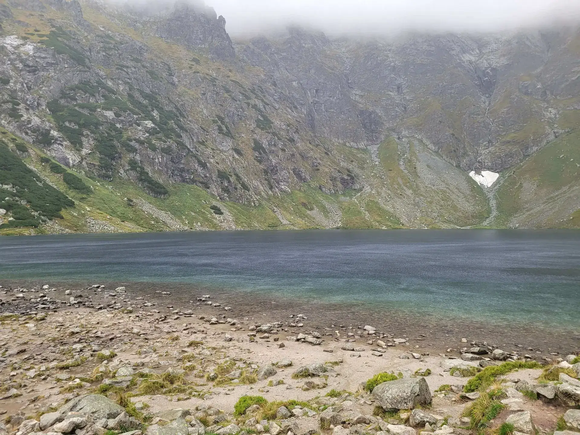
Start: Palenica Białczańska · via Views of Morskie Oko from above and The shadow of Rysy and Kazalnica
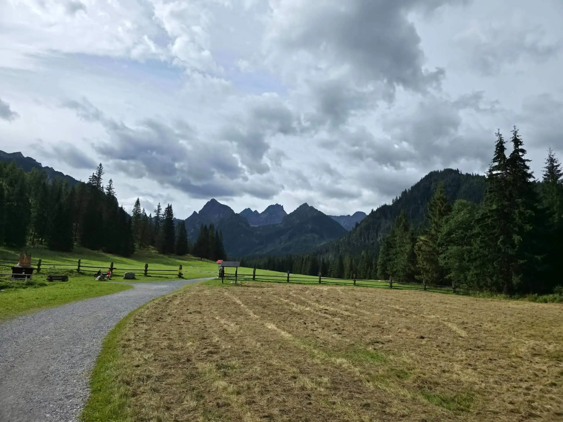
Start: Łysa Polana · via Polana pod Wysoką and Kacza Siklawa
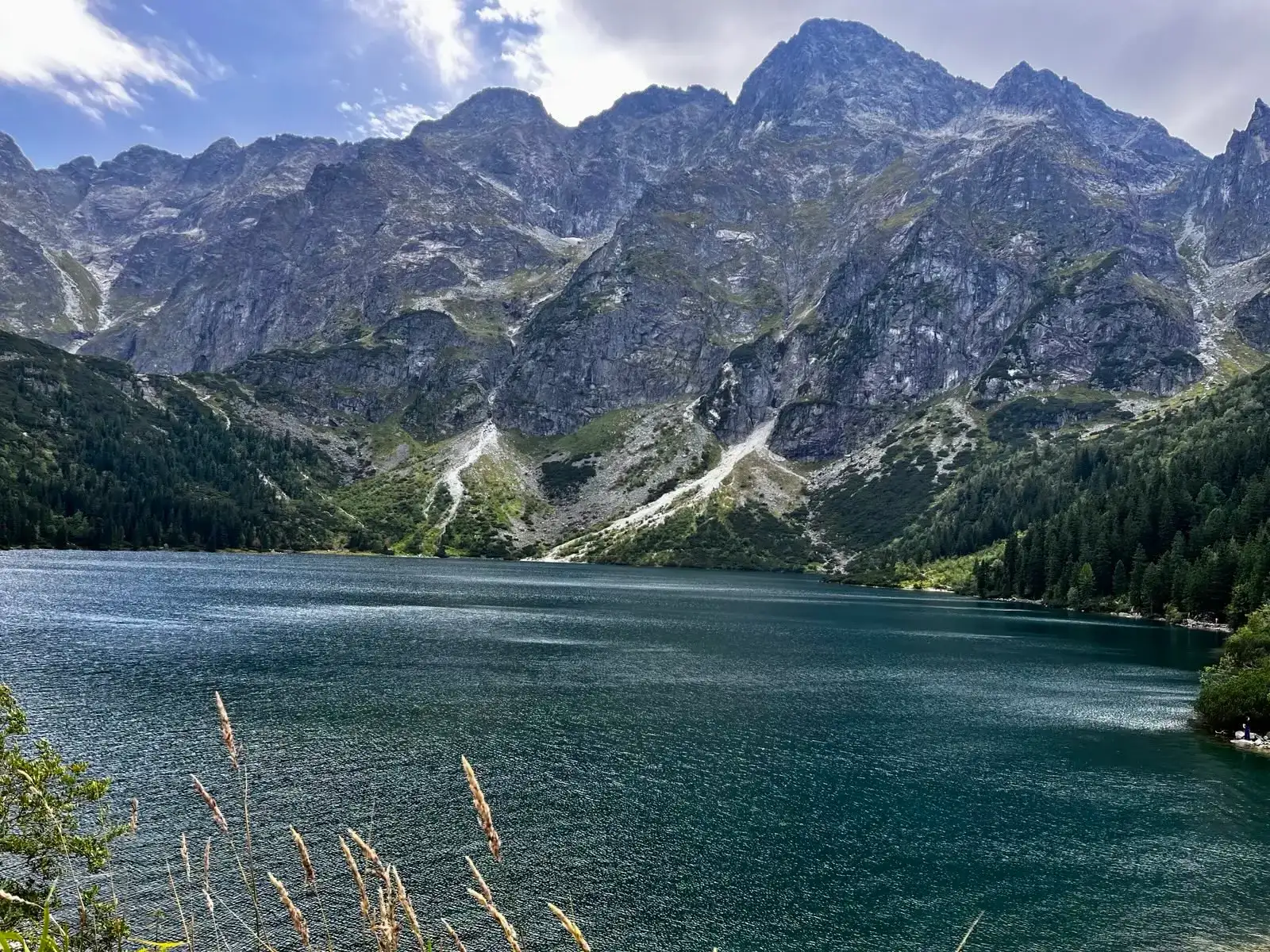
Start: Palenica Białczańska · via “Siklawa Waterfall” and “The highest mountain hut”
Start: Sliezsky dom · via The roof of the Carpathians and Wielicka Próba
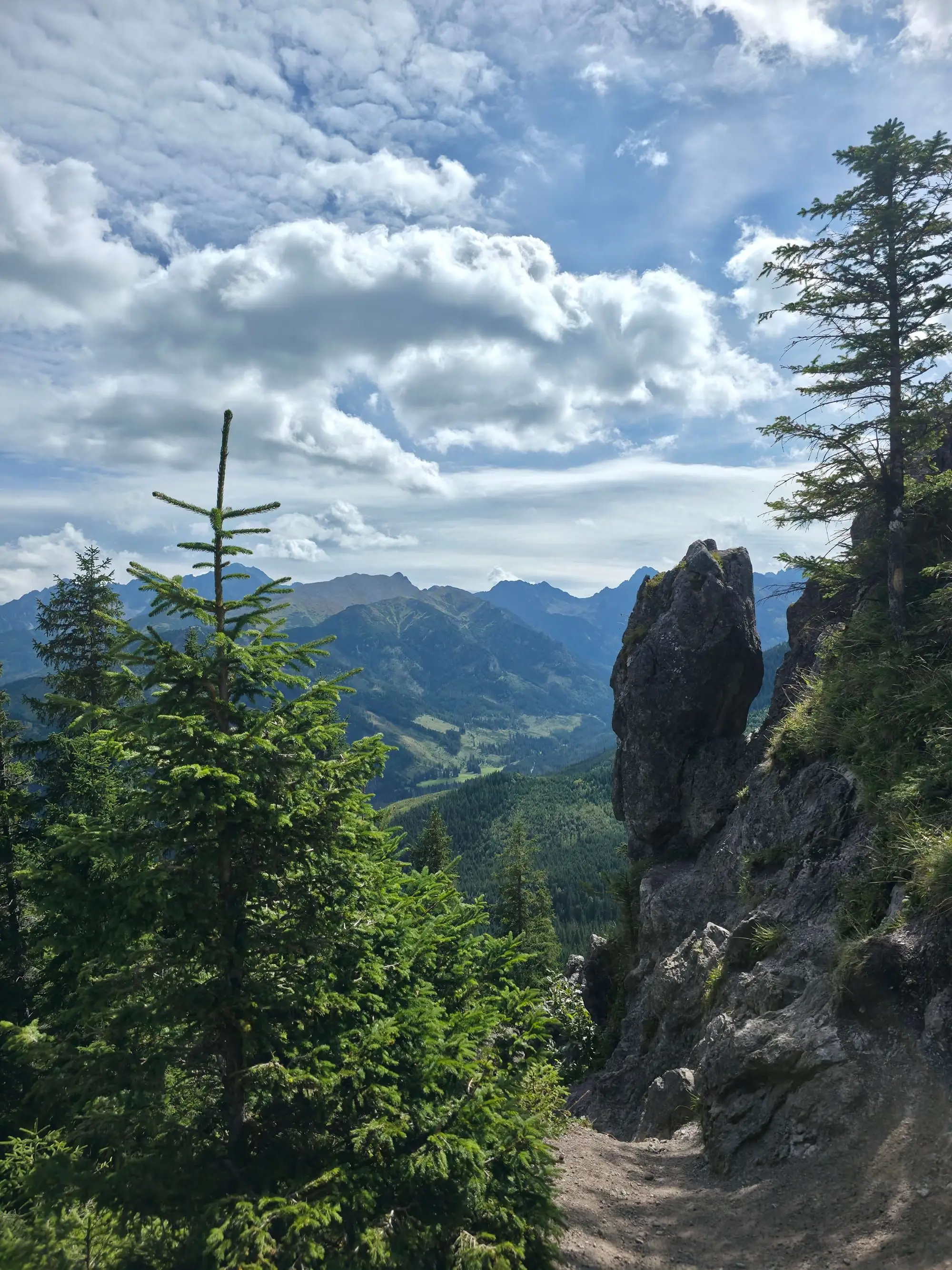
Start: Wierch Poroniec · via Rusinowa Polana and Panorama of the High Tatras
Start: Kuźnice · via Skrajny, Pośredni and Zadni Granat and The famous cleft on Granaty (a step over the drop)
Start: Kuźnice · via Murowaniec mountain hut and Czarny Staw Gąsienicowy
Start: Biela Voda · via Zelené pleso and Chata pri Zelenom plese
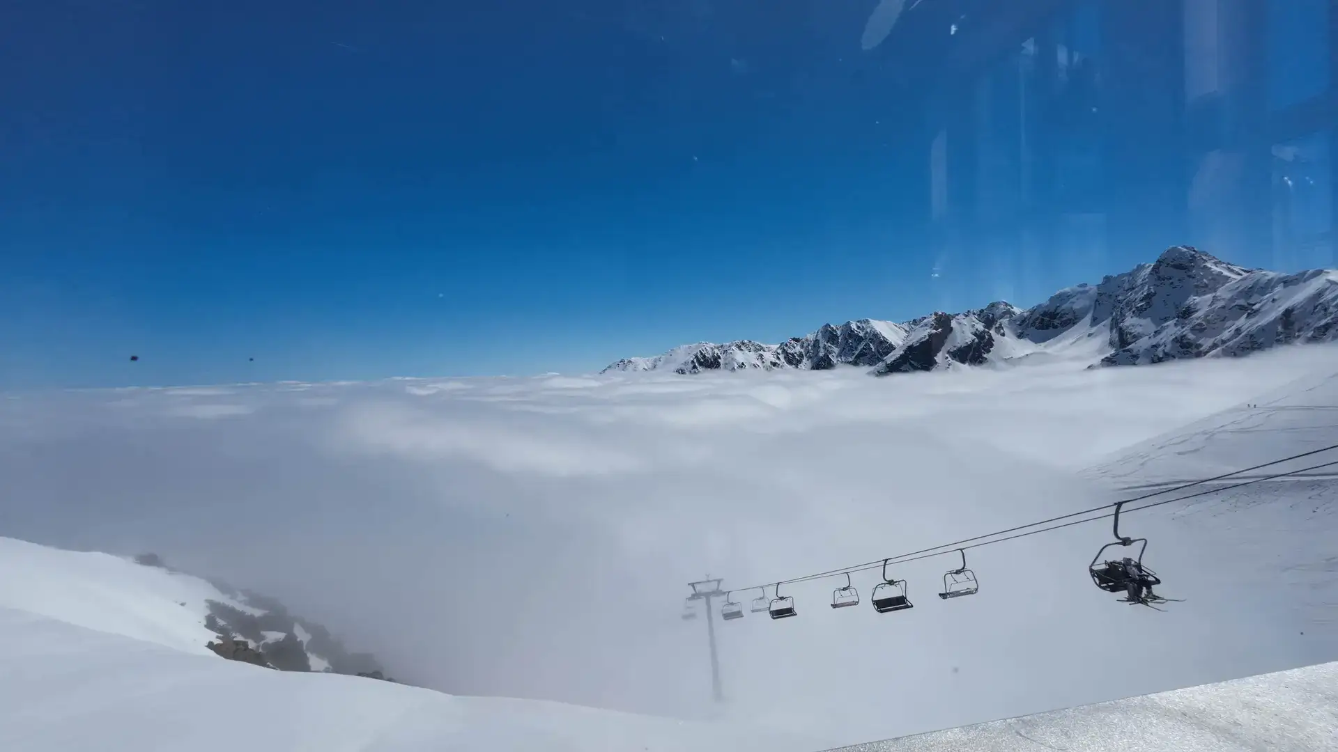
Start: Kuźnice · via Murowaniec hut and Hala Gąsienicowa
Start: Štrbské Pleso · via Veľké Hincovo pleso and Popradské pleso
Start: Kuźnice · via Karb Pass and Views of all the Gąsienicowe Lakes
Start: Palenica Białczańska · via The highest peak entirely in Poland and Panorama of Five Lakes from above
Start: Kuźnice · via Narrow rocky notch of Kozia Przełęcz and Kozia Dolinka and Zmarzły Staw
Start: Štrbské Pleso · via Double-arm cross on the summit and Jamské pleso
Start: Tatranská Lomnica · via The hanging terrace and Café Dedo
Start: Sliezsky dom · via Polski Grzebień and Večný dážď
Start: Palenica Białczańska · via The Gallery ledge and Morskie Oko from above
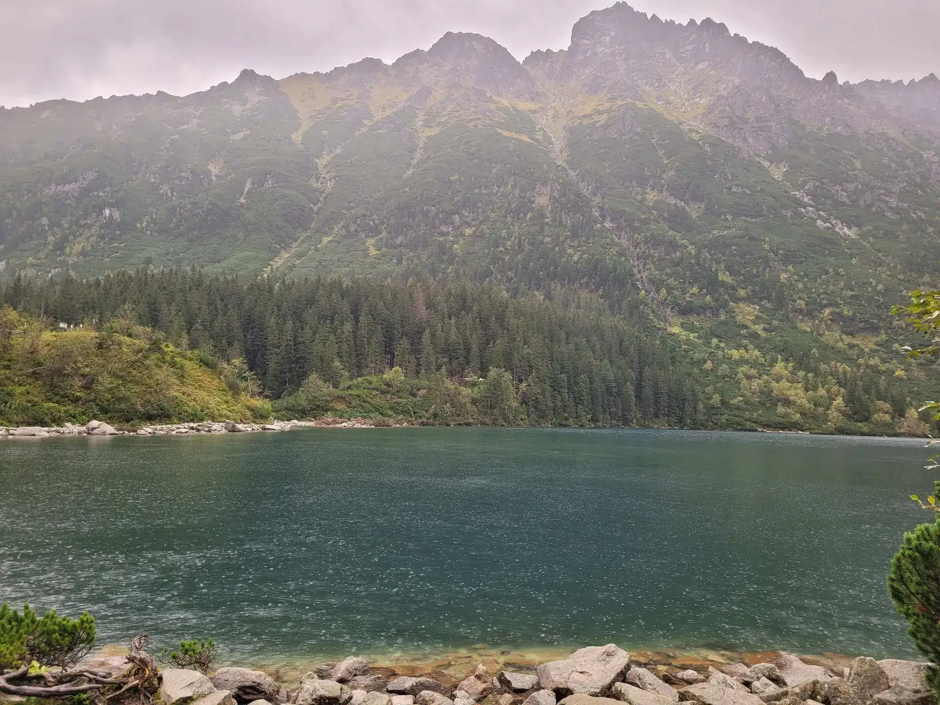
Start: Palenica Białczańska · via Morskie Oko lake and Wodogrzmoty Mickiewicza
Start: Zawrat Pass · via Ladder at Kozia Pass and Traverse of Zamarła Turnia
Start: Popradské Pleso, TEŽ stop · via Popradské pleso and Symbolic Cemetery under Ostrva
Start: Hrebienok (funicular from Starý Smokovec) · via Téryho chata and Zbojnícka chata
Start: Palenica Białczańska · via View of the Valley of Five Polish Lakes and Wielka Siklawa on the way
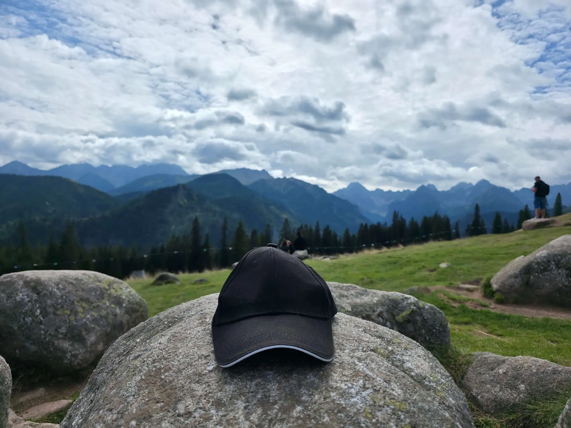
Start: Wierch Poroniec · via Panorama of the High Tatras and Wiktorówki sanctuary
Start: Palenica Białczańska · via The highest point in Poland and A panorama of 100 peaks
Start: Štrbské Pleso / Popradské Pleso · via Chata pod Rysmi (the highest mountain hut) and A toilet with a panorama
Start: Štrbské Pleso · via View of Štrbské Pleso and Chata pod Soliskom
Start: Hrebienok · via View of Gerlach and Slavkovská vyhliadka
Start: Kuźnice · via Views of Kościelec and Orla Perć and Zawrat Pass
Start: Palenica Białczańska · via Two valleys from the Opalony ridge and Wielka Siklawa on the way
Start: Palenica Białczańska · via Views of Morskie Oko and Five Lakes at once and Szpiglas Pass
Start: Palenica Białczańska · via Siklawa on the way and Valley of Five Lakes
Start: Palenica Białczańska · via Poland’s largest waterfall (70 m) and The lake-wall drop
Start: Biela Voda · via Zelené pleso and Skalnaté pleso
Start: Palenica Białczańska · via Dolina za Mnichem and View of the Ciemnosmreczyńskie tarns
Start: Palenica Białczańska · via Siklawa on the way and Wielki Staw Polski
Start: Kuźnice · via The beginning of Orla Perć and The Virgin Mary of Zawrat figure
Start: Biela voda (SAD bus stop) · via Chata pri Zelenom plese and Turquoise tarn under Lomnický
Start: Kuźnice · via Zmarzły Staw and The chained chute
No. Red, blue, green, yellow and black only mark the line, not how hard it is. The red trail to Morskie Oko is asphalt. The red trail on Orla Perć is exposure, chains and rungs. Read the terrain, not the paint.
Pick a valley or a short meadow: Strążyska with Siklawica, Kościeliska, Rusinowa Polana, or Hala Gąsienicowa without attacking Kościelec. Leave Giewont, walking Kasprowy, and Rysy for a day when you already know how the group climbs and how they handle queues.
Yes, inside Tatra National Park. Buy the ticket online or at the booth at the trailhead. Parking is separate. Palenica Białczańska (Morskie Oko, Five Lakes) is entry-only with an e-ticket. The Slovak side has TANAP fees, not a TPN ticket.
On the Polish side TPN lists about 275 km of waymarked walking trails. The Slovak side is larger. This page does not describe every map segment. It describes day hikes: where to start, how long they take, and when to turn around.
Dogs are banned on most TPN trails. The exceptions are few and mainly cover Dolina Chochołowska and Droga pod Reglami. Giewont, Kasprowy, Morskie Oko and the Five Lakes are out. Check the current list on the park site before you pack a lead — the rules are often specific to a section.
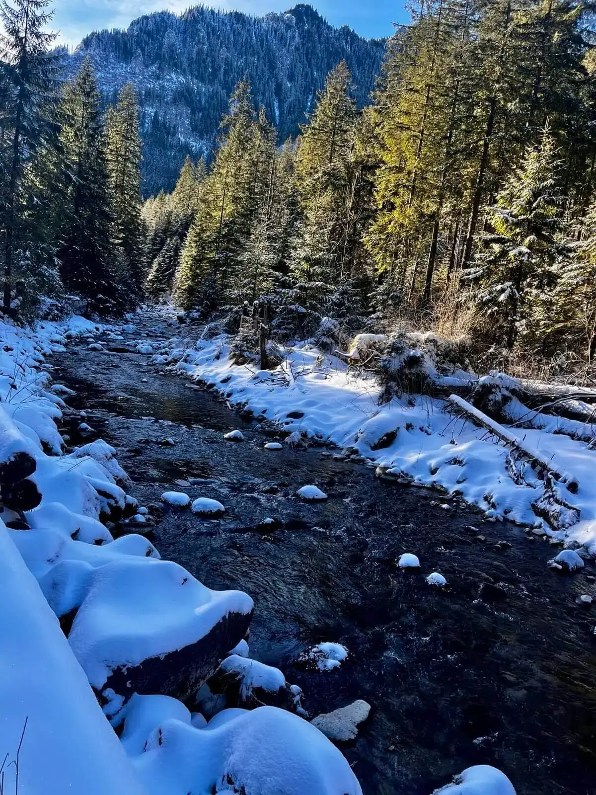
Valleys usually stay open, but they ice up. TPN seasonally closes Świstówka Roztocka, Tomanowa, and the Grzybowiec approach to Giewont, among others. In Slovakia, trails above the huts are closed from 1 November to 15 June. Microspikes from November, and a TOPR avalanche bulletin before any ridge.
The Giewont dome, Rysy, Zawrat from Hala Gąsienicowa, Orla Perć, and Żleb Kulczyńskiego. Walking Czerwone Wierchy and Kasprowy does not. A gym does not replace comfort on wet rock. The chained list is in the tab above; in the catalogue filter `#chains`.
Only on wide gravel or asphalt: Morskie Oko, Chochołowska roughly to the hut, Rusinowa Polana from Wierch Poroniec. Dolina Białego and Strążyska run out of pushchair terrain too soon. Nosal, Giewont and any ridge are out.
On the Polish side TOPR is free, Palenica is e-ticket only, and queues under a summit cross are common. On the Slovak side you pay TANAP, trails above the huts close from November to June, and HZS rescue is billed. For Rysy many people take Štrbské Pleso instead of Palenica.
For Giewont, Kasprowy and Morskie Oko, count on dawn if you do not want a queue. Summer storms like the afternoon — on a ridge at 11:00 it can already be too late. Catalogue times are map walking time. A holiday day with breaks and a jam under the chains is longer.